What is a trig?
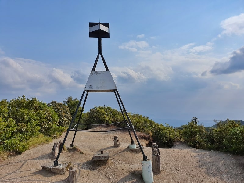
As I try and question more of the mundane things in the world, this was a question I asked myself when reaching the trig at the trig on the Mount Climie Track near Wellington.
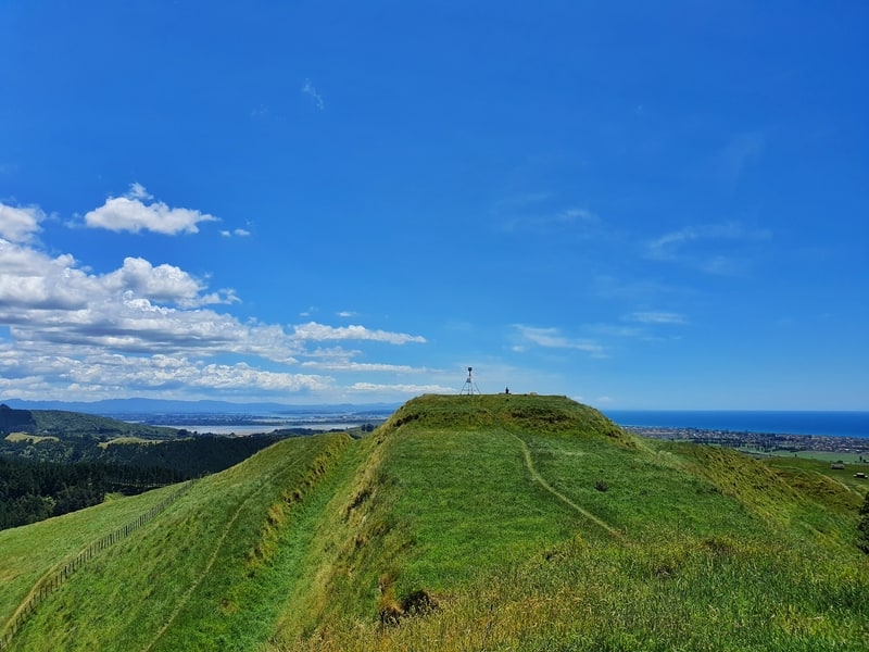
I’ve always associated trigs with summits. But this trig wasn’t at the highest point of the hike which is what probably put the question in my mind.
So here’s what I learned about trigs.
WHAT DOES THE WORD TRIG MEAN?
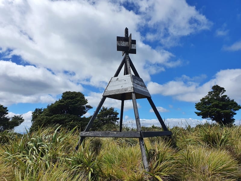
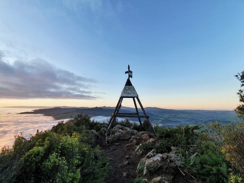
The trig on the Papamoa Hills.
There are various definitions for trig, but when we refer to the trigs on the top of hills/mountains, it’s short for:
Triangulation station or trigonometrical point.
Shortening that to trig is much better 🙂
There are slightly different words for trigs in other countries. For example, they’re known as trig beacons in South Africa. Some people refer to them as beacons in NZ as well, apparently.
SO WHAT IS A TRIG?
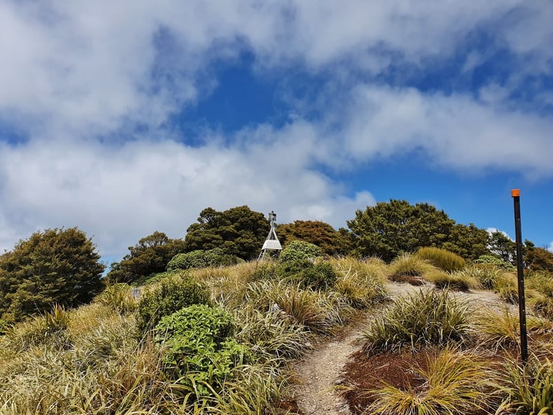
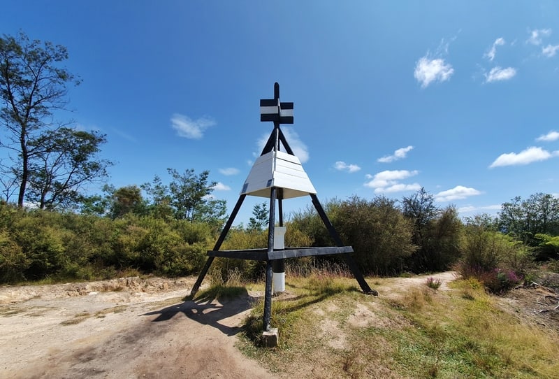
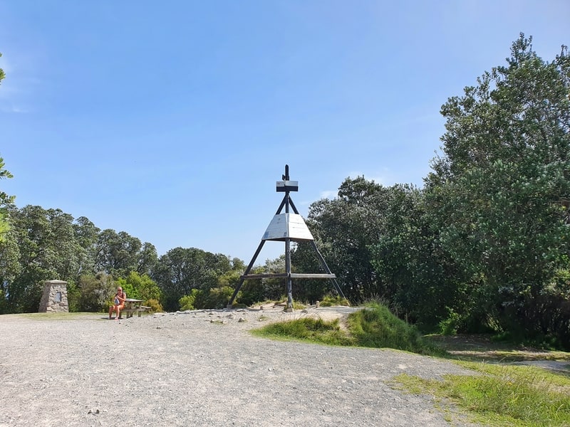
The Kapakapanui Track trig.
A trig is a fixed point used to survey the land for a variety of projects.
While we see the trigs at the tops of summits (for visibility), there are lots of smaller trig points marked in various ways throughout New Zealand. You can view all of the trigs in New Zealand on the linz.govt.nz website (they’re all created by the Government in NZ).
The trigs help various parties known the location of boundaries, roads, railways, bridges etc.
The importance of trigs becomes apparent when we think about what’s involved when the Government wants to start new projects like highways.
Yet when you see people measuring distances on the side of the road, they’re not usually using permanent trigs for measurements. They’ll create temporary trigs so that construction can be monitored and measured.
So there are different kinds of trigs…it gets confusing, fast.
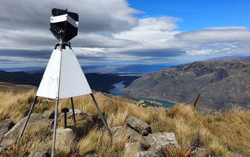
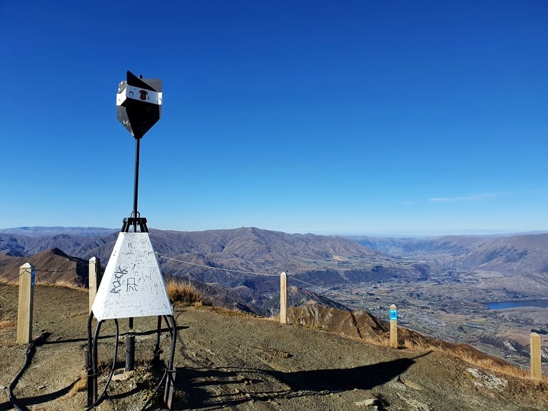
The trig on the top of Mount Horn near Cromwell.
But back to the trigs at the top of hills, they’re becoming redundant thanks to satellite technology.
But they’ve always helped hikers navigate thanks to their visibility so are often left as is. But GPS technology means that trigs aren’t relied on as much as they were previously. But there’s a great feeling when you’re hiking in weather that means you’ve got little visibility, and then suddenly a trig appears out of nowhere.
While they’ll often be left as is, some trigs are removed for various reasons. Such as some in the Tararua Ranges and this one in Howick.
Regarding the removal of the trig in that link, the official statement was:
“This beacon was removed for health and safety reasons as the metal structure was rusting and would require extensive and costly repairs.”
This statement was only released after many of the public were confused about the landmark being removed without consultation. People love trigs!
There’s even a Facebook Group, Kiwi Trig Baggers, with over 250 members in it.
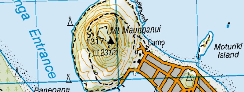
And when you’re looking at maps, you’ll see trigs marked as a solid black triangle. So yes, the trigs are very helpful for creating maps and marine charts (the one below can be seen on the Topo map here).
A BRIEF HISTORY OF TRIGS
Trigs have been around for a long time.
Captain John Stokes was the captain of the HMS Acheron which was to make the first hydrographical survey of NZ between 1848 and 1851.
When they arrived in Auckland, the starting point of the survey was a trig they made and surveyed in Devonport, Auckland (source).
The trig is still there today in Windsor Reserve.
Well, there’s my little essay answering what is a trig? I hope that gives you a little bit more knowledge.
I really wanted to know why trigs are almost always black and white but couldn’t find the answer in all my digging. If you know, share below.
If you’ve got a question about trigs, let me know in the comments below (or email jub@churnewzealand.com) and I’ll see if I can find an answer 🙂
Here are some more of the trigs in New Zealand I’ve hiked too:
The Kaipawa Trig at the top of the Success Track near Coromandel Town.
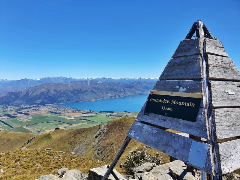
The trig at the top of the Grandview Mountain Track.
The Mount Roy trig, as seen on the Wanaka Skyline Track.
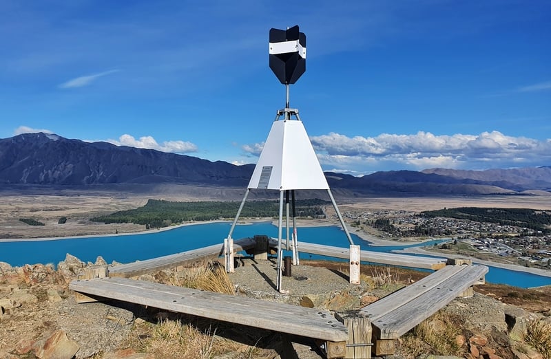
The trig on the Mount John walk looking over Lake Tekapo.
The trig on Mount Tarawera (you can only get their on a guided tour).
The trig you can get to when on the Rangitoto Island walk.
The trig on the Pohaturoa Track in Rotorua.
The trig at the top of Mount Tauhara near Taupo.
The trig at the summit of Mount Karangahake.
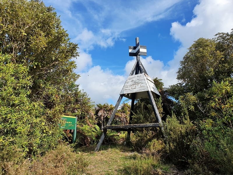
The trig at the summit of Mount Maunganui (the views from the summit are insane, this doesn’t depict them at all).
The Coronet Peak trig.
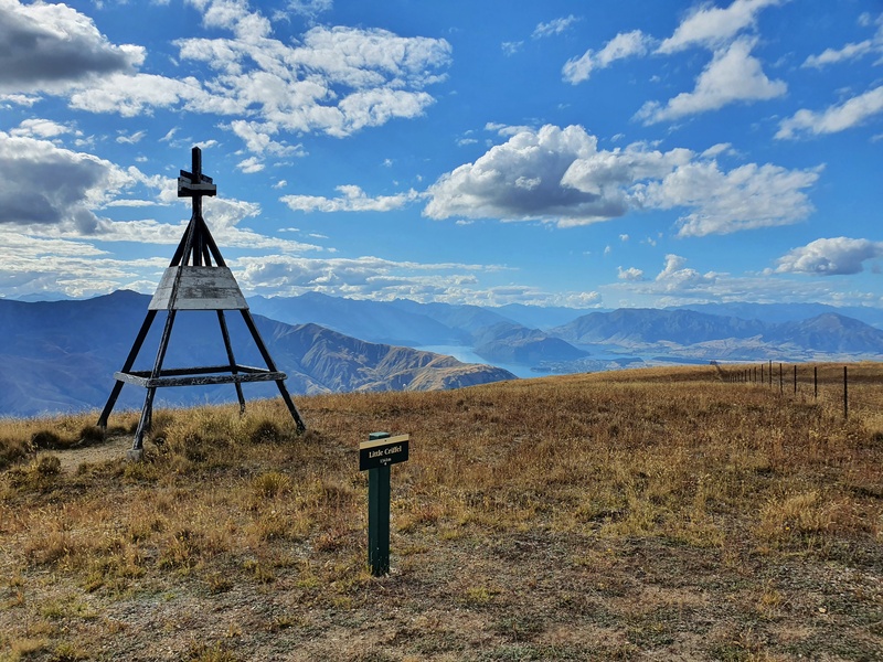
The Little Criffel trig.

Hey, it’s Jub here. I’m the guy behind Chur New Zealand, helping you have the best time hiking, trekking, walking…whatever you want to call it…in NZ. I’m based in Queenstown and am always out and about exploring trails, old & new. If you have any questions, reach out.
My guess is the black and white color is for contrast needed to resolve the image when observing it at a distance through optics.
Hey Brent,
That actually does make sense. Thanks for the comment/reminder, I think I know a couple of people I can ask who might know the answer!
Agreed. The other reason of trig always on black and white because back to 1840s these two colours are the only colour people can easily get.
Love this!