
The Sawpit Gully Track is an 8-9km loop starting in Arrowtown.
The walk/hike will take most people 2 to 3 hours and offers some great views of the surrounding hills/mountain and Arrow River while providing a good little test of your fitness.
This post will give you all the details you need to know about the Sawpit Gully Track (along with plenty of photos).
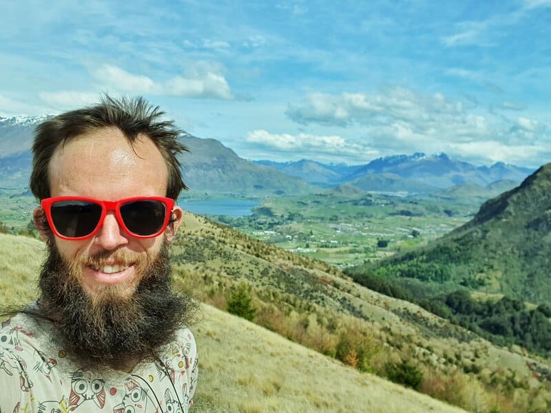
Proof I’ve been on the Sawpit Gully Track
TABLE OF CONTENTS
1. Sawpit Gully Track Details
2. Sawpit Gully Track Map
3. How To Get There
4. My Sawpit Gully Track Experience
1. SAWPIT GULLY TRACK DETAILS
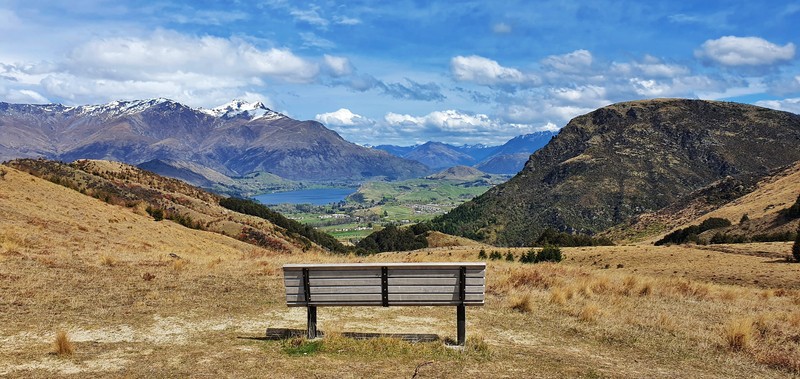
The Sawpit Gully Track is one of the more popular walks in Arrowtown and one of the best half daywalks in the Queenstown area.
Given there are higher summits in the area the views aren’t going to be OMG-worthy (like Ben Lomond) but they’re pretty solid (the above photo is pretty sweet).
How hard is the Sawpit Gully Track?
Medium. It’s not a long hike, but the track going up towards Eichardt’s Flat is rather steep.
How long is the Sawpit Gully Trail?
Including the side trip to German Hill, my watch gets about 8.10km (starting from the edge of the car park) for the hike.
What’s the elevation gain on Sawpit Gully Track?
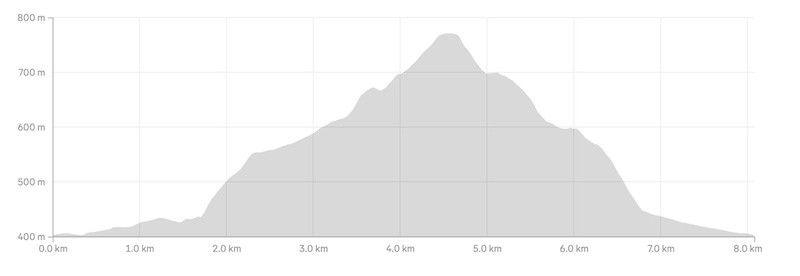
I generally end up with about 380 metres of elevation gain on the loop (including the side trip upto German Hill – 780 metres above sea level).
Here’s the elevation profile (in the anti-clockwise direction):
How long does it take to do the Sawpit Gully walk?
It took me 1 hour and 54 minutes to complete the loop (reasonably quick hiker). That was with no long stoppages, besides a few minutes to take in the views. The signs were indicating the loop to take 2-4 hours. I’d put aside 2-3 hours for the vast majority of people.
What’s the best direction to do the Sawpit Gully Track?
You’ll find people walking in both directions, and I generally go clockwise…which I think is the most popular. It gets the steep climb out of the way earlier.
Can you hike Sawpit Gully year round?
Yes you can. In the winter it might get icy in spots, but I feel like there’s never a time where you’ll need microspikes.
Speaking of winter, you might get to see the Bush Creek Ice Rink in action if it has been cold enough!
Where to go for food after Sawpit Gully Track?
I always end up at either The Fork & Tap for fries and a beer, or Fergbutcher where you can get a Ferg Burger (worth it) with a shorter queue, if there’s one at all!.
2. SAWPIT GULLY TRACK MAP
The map below is the GPX file overlaid on the topomap.co.nz map. You can click the image to scroll/zoom in etc in a new window.
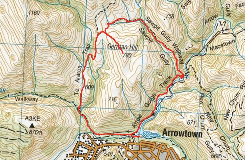
I always use this topomap app when hiking in NZ, but the track is pretty easy to follow with signs at the points where you need to turn off. If need be, you can always double check the topo map to double check you’re on track.
You won’t find the Sawpit Gully Track on Google Maps, but it is on Maps.me.
3. HOW TO GET THERE
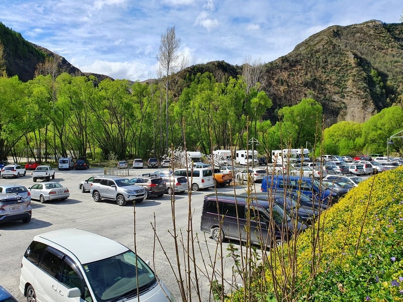
If you’re staying to do lots of Arrowtown activities, the trailhead (essentially the track starts at the car park closest to the trail) starts right on the edge of town.
But Arrowtown is a popular day trip for those staying in Queenstown, so you might be arriving by car or bus.
I’ll break down these two options below, but here’s a full post on how to get to Arrowtown from Queenstown.
CAR
From Queenstown, Arrowtown is about a 20 minute and 20 kilometre drive.
From Cromwell, Arrowtown is about a 40 minute and 45 kilometre drive.
There’s lots free parking by the trailhead in this area. If the car park is full, you’ll need to find some street side parking which is free from what I can tell.
BUS
There are regular buses from Queenstown to Arrowtown which only cost $2.50 each way with a Bee Card ($5 for a Bee Card). Or $4 cash.
When arriving in Arrowtown you’ll get off at this stop and walk the 500 metres or so to the trailhead.
You’re catching the #2 (from Frankton) or #4 bus (from Queenstown). You can see the #2 timetable here and #4 here.
4.MY EXPERIENCE ON THE SAWPIT GULLY WALK IN ARROWTOWN
After catching the bus to Arrowtown, I walked down towards where a lot of the tracks begin from in the Arrowtown area, including the Sawpit Gully Track.
I was a little bit confused as there were no massive signs. But it was just a matter of following the Arrow River until you see the little footbridge below (near this toilet block).
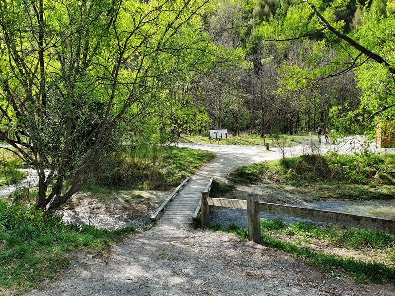
You can walk the track in either direction with the anti-clockwise direction (turning right after the footbridge) the one I’ll cover in this post.
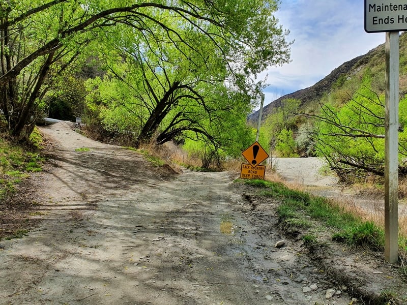
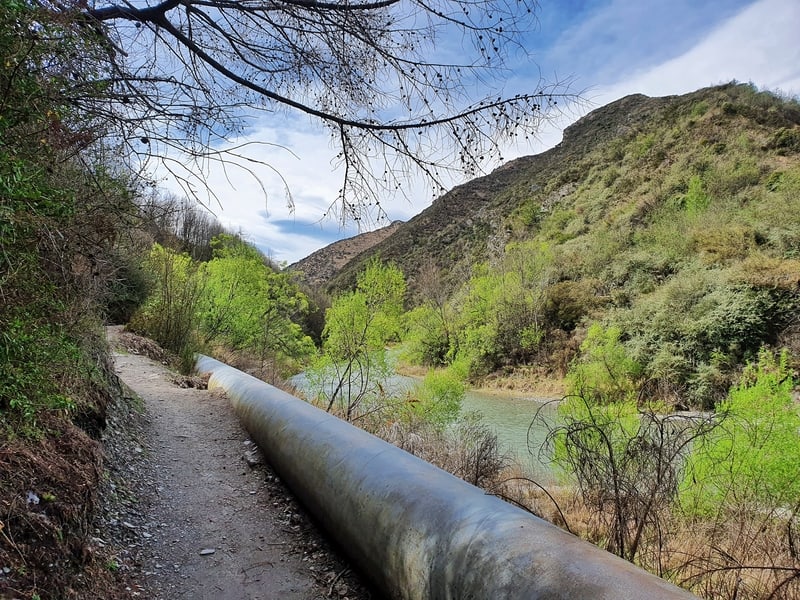
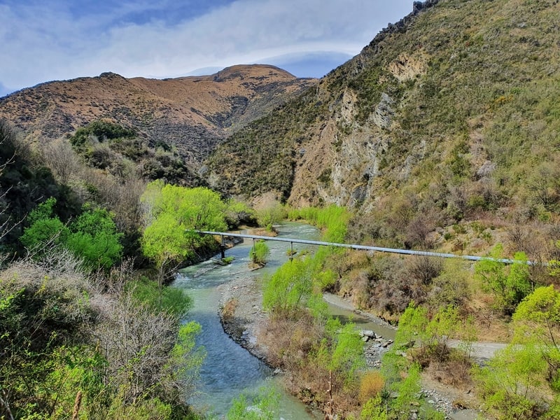
Once you turn right you’ll see a large pipeline, you’ll want to cross over this and follow along the track (go left in the picture above).
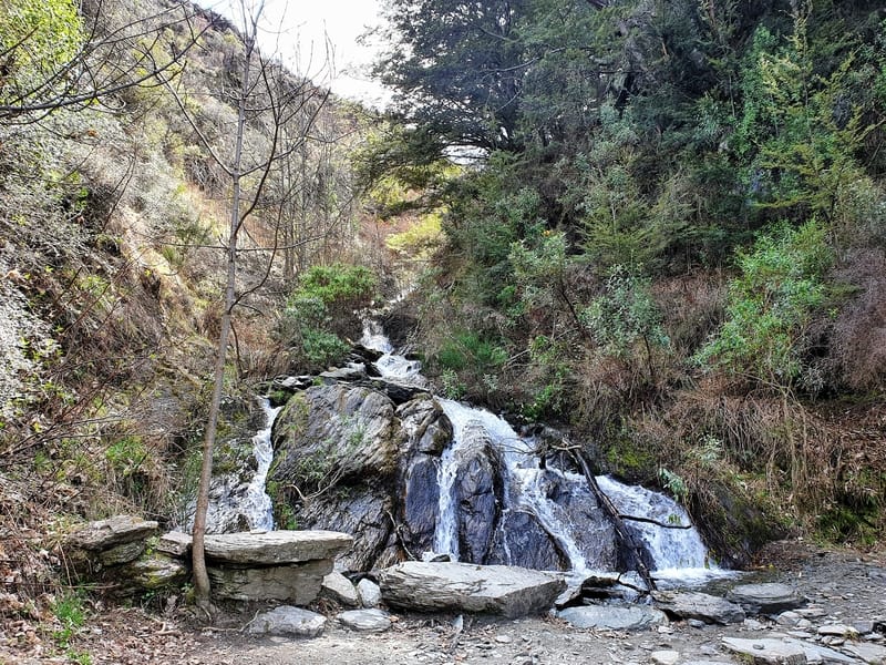
For the first 1.5km or so you’ll be on a very small incline as you track the Arrow River. You see the river enough as you walk along the well-maintained trail. You also walk past a little cascading waterfall.
When you come across a signboard with all the trails on it, turn left. This is where the incline begins, going up the hill with a few viewpoints on the way. The colour of the river is awesome when the sun is reflecting on it. Is it the gold in the river that’s doing this?
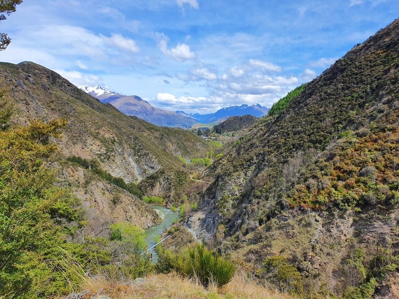
The climb is quite steep for 600 metres or so before it begins to flatten off following a stream.
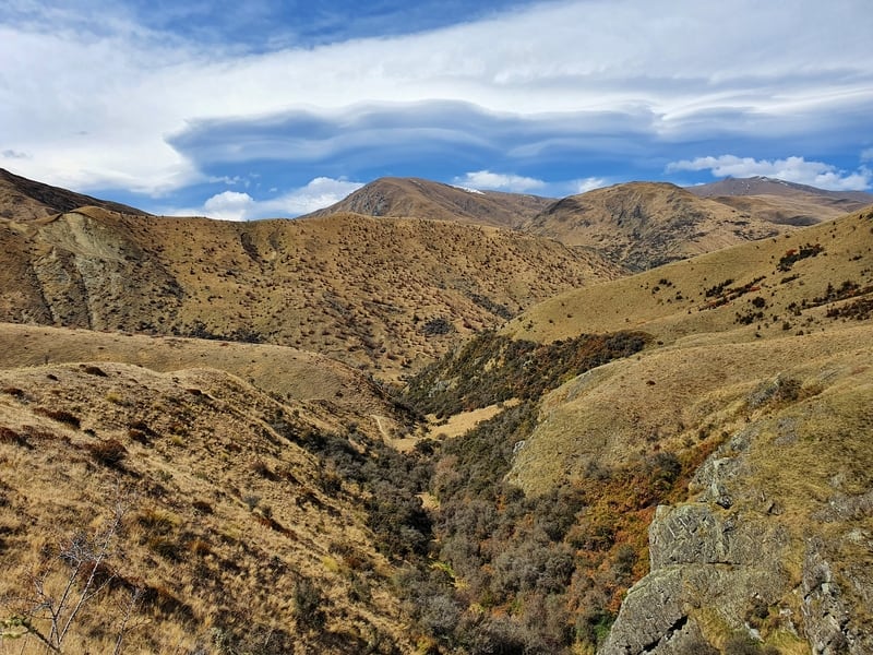
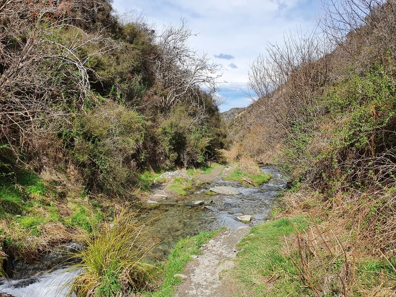
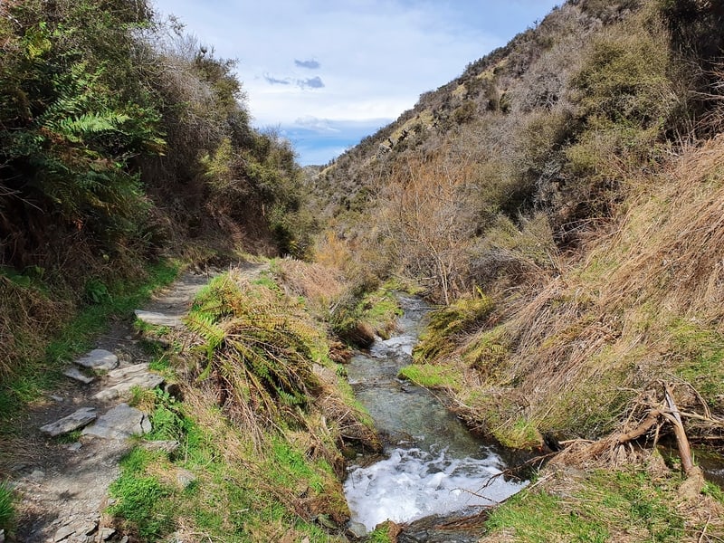
What I didn’t expect was the track crossing back and forth over the stream at least five times. I managed to avoid getting wet shoes thanks to some well-placed rocks. If there’s been some recent rain, you might end up getting a little wet. It’s not a dangerous (within reason).
You’re still moving uphill along the stream but it’s at a friendly gradient. The views now are mostly looking towards the hills in the distance north of Arrowtown. But don’t forget to look back from time to time, they’re good views back that way too.
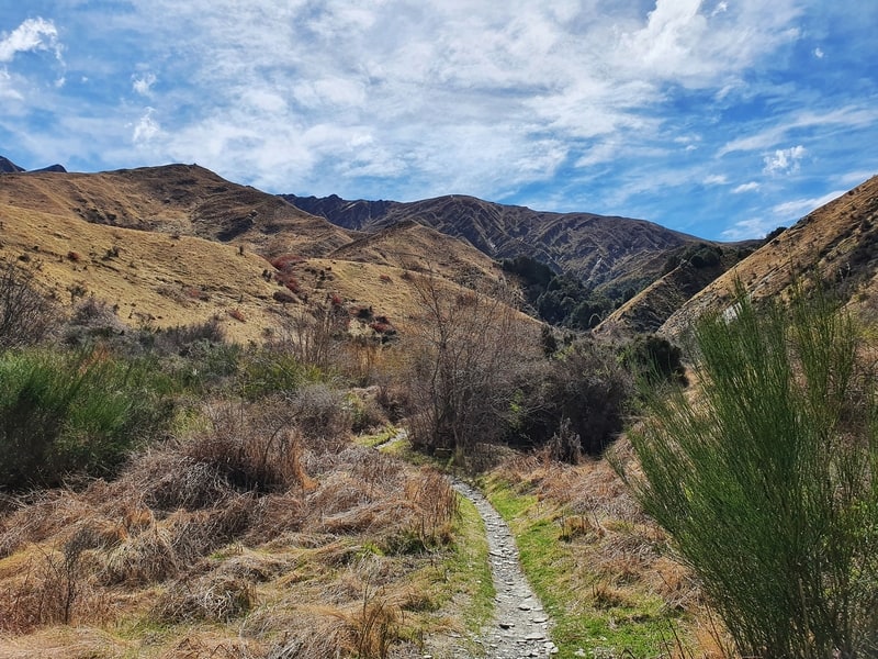
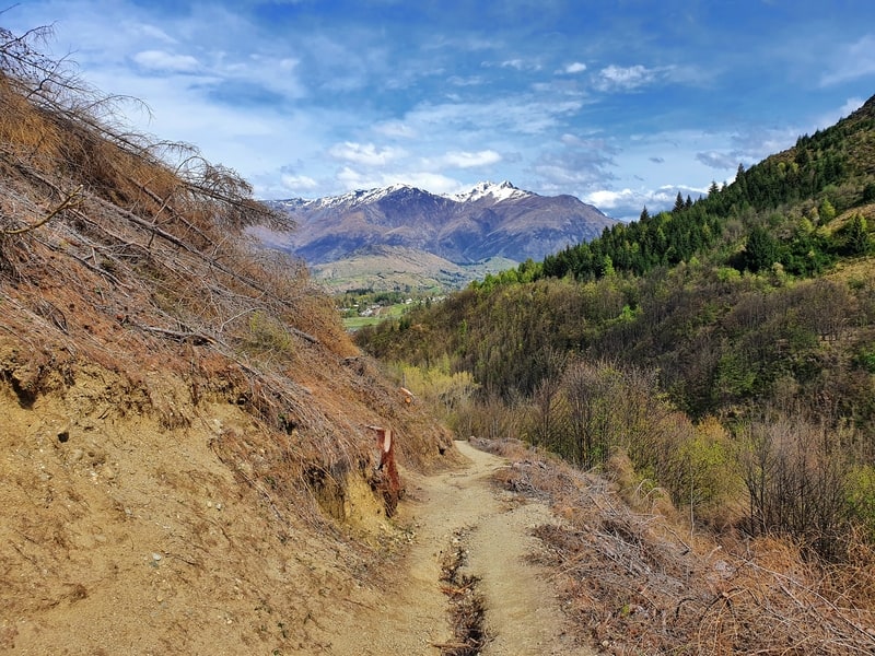
With one final river crossing, the track takes a quick incline before flattening off as you round the side of German Hill.
You’ll see the trail that turns off left to the German Hill peak.
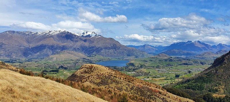
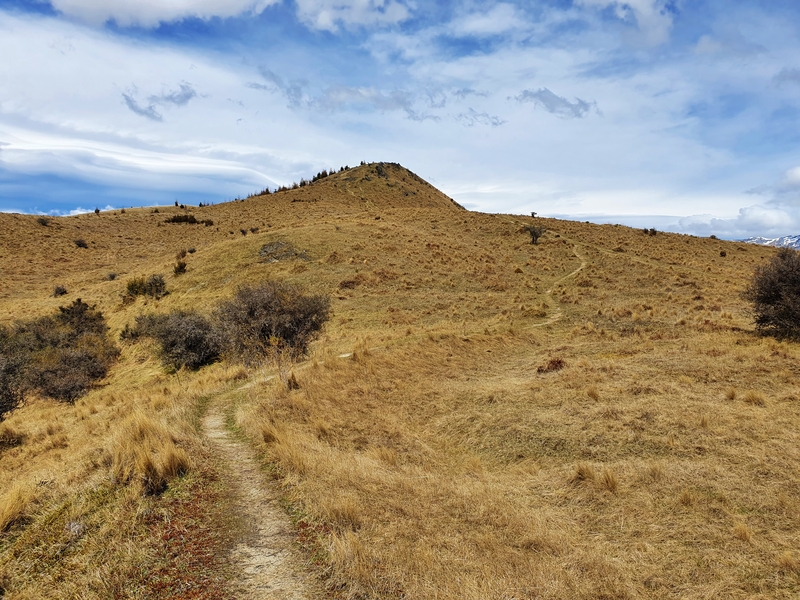
The climb to the peak is pretty steep, but the views are totally worth it. 360-degree views are almost always worth it right? There’s plenty of spots where you could park up for a picnic on top if you wanted.
Take the path back down the peak the way you came, you’ll then continue on the main track again… don’t head to Big Hill. It’s all downhill from here! If you need a toilet, you’ll spot one soon after you enter the tree line.
You’ll get a few more minute’s worths of views towards Arrowtown, but I was most eager to figure out when I was going to hike up towards Brow Peak that looks over you from the west.
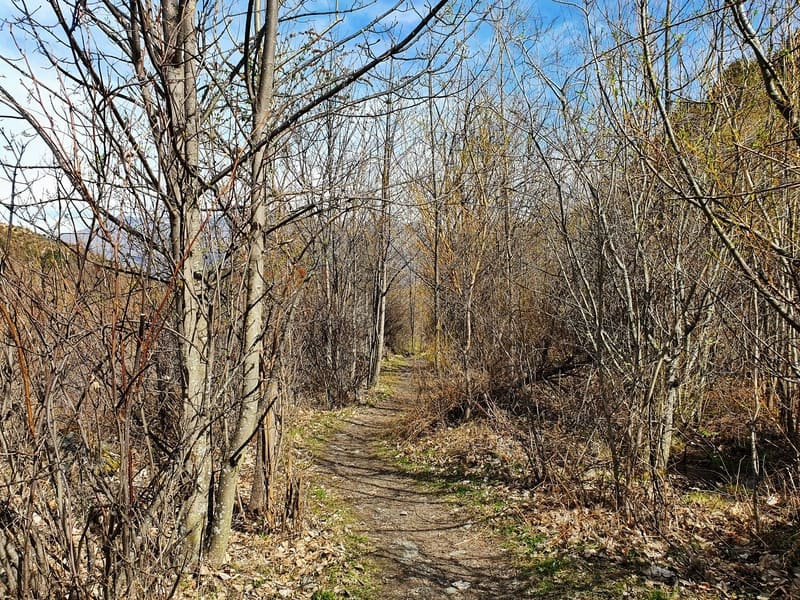
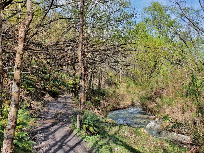
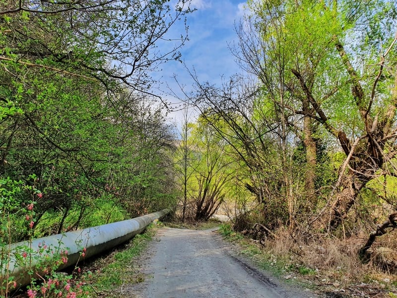
The track is steep going down for the next couple of kilometres (with one more stream crossing) as you get back down to a river which you’ll more or less be following the rest of the way. You’ll know you’re nearly there once you start walking next to the pipeline again 🙂
Considering Arrowtown is known for its activities in town, the Sawpit Gully walk is a great way to add in a few hours to make a full day in Arrowtown worthwhile.
p.s. Here’s a map of all the hikes and walks documented on Chur New Zealand. You can click the icon to see brief details, as well as a link to read more about the hike (like this post).
Hey, it’s Jub here. I’m the guy behind Chur New Zealand, helping you have the best time hiking, trekking, walking…whatever you want to call it…in NZ. I’m based in Queenstown and am always out and about exploring trails, old & new. If you have any questions, reach out.