
The Routeburn Track is one of my all time favourite tracks, and what’s even better is the option of being able to do several side trips.
I’m luckily to have lived in Queenstown for a while now, so get out on the Routeburn Track a few times each summer and have started to explore the side trips.
That said, I haven’t done all of the Routeburn side trips possible, so this post is going to be a work in progress. It’s a little bit of a Routeburn bucket list you could say. I make it clear the side trips I have, and have not done.
The Routeburn is placed both Mount Aspiring National Park (my favourite National park) and Fiordland National Park, which are amazing so all the side trips allowing you more time in both National Parks is a win.
Note: These side trips are in order starting from the Routeburn Shelter end.
10 ROUTEBURN SIDE TRIPS
1. Sugarloaf Pass
2. Routeburn North Branch
3. Emily Pass
4. Hidden Tarns
5. Valley of the Trolls/Lake Wilson
6. Conical Hill
7. Deadman’s Track
8. Pass Creek Track
9. McKellar Hut (Greenstone Track)
10. Key Summit
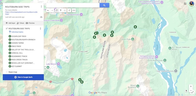
Before you get into the descriptions, the map below gives you an idea where each of the turn offs are for the side trips. You can click on the image below to open the map in a new window.
1. SUGARLOAF PASS
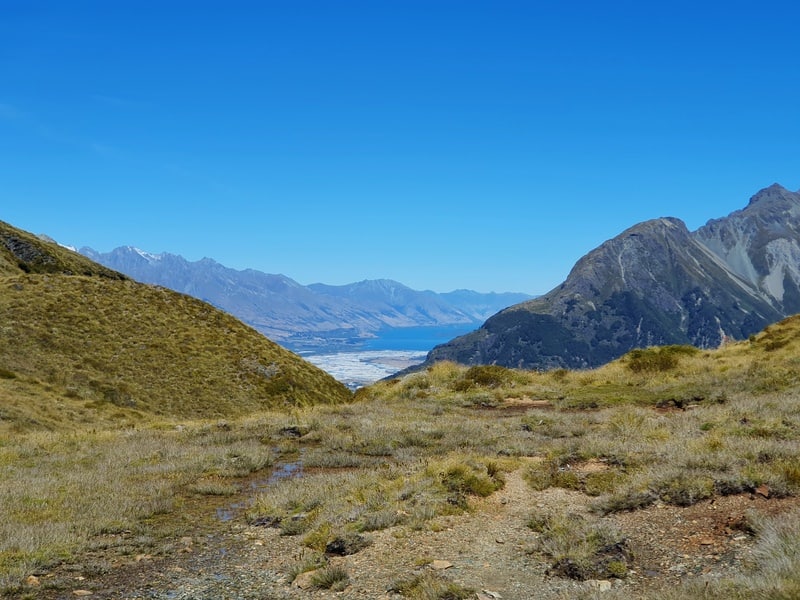
This sees you on the Routeburn for less than 1km, but it still counts!
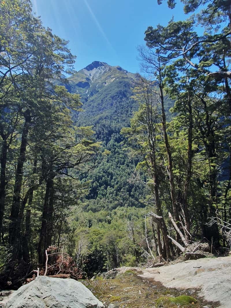
You’ll go up a couple of short hills, then you’ll come across the sign pointing right to Sugarloaf Pass. It’s a grinding route, with a steady ascent through the bush. There’s some parts of the track that are techy, others are smooth. But you’ve just got to keep grinding away until you emerge from the treeline onto the what is often boggy top section.
From the pass you get some great views, particularly back towards Glenorchy. It’s a short sharp hike, but doesn’t get a tonne of traffic so if that’s your buzz, do it! You can then continue on the full Sugarloaf Pass Loop (techy) or wander further west to complete the 5 passes or 3 passes.
2. ROUTEBURN NORTH BRANCH
A popular day trip on the Routeburn Track is too Routeburn Flats Hut (one of the better walks while you’re in Glenorchy)…or you might stay there on your full Routeburn Track adventure. From the hut, you can wonder up the North Branch towards North Col.
I’ve been to North Col, but haven’t done the North Branch Route there yet.
3. EMILY PASS
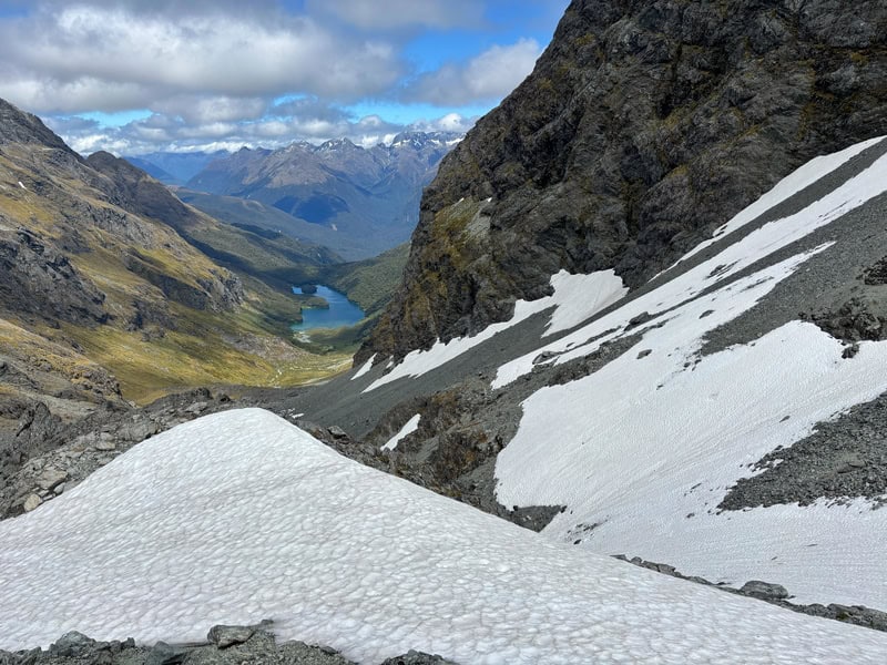
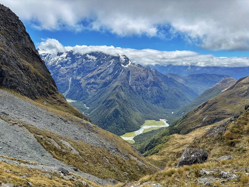
Wowser, this one I had been wanting to do for quite some time. The adventure over Emily Pass essentially cuts off the corner on the Routeburn between Routeburn Falls hut and Lake McKenzie. So it’s a shorter route, but it’s not going to be shorter. This is a route for experienced trampers only who have been off trail before.
If you’re up for it though, make it happen. It’s a tough climb up the river bed but taking a peek behind you to see where you’ve come from is satisfying. Then you’ve got the tussock traverse and the steep pinch up to the pass…but it’s so cool to look down towards where you’re going (make sure you’re prepared with knowledge of the snow levels before you start).
The descent down the otherside for me was slower going than expected with rocks galore…and it just seemed to take ages to reach Lake McKenzie…but it was stunning the whole time, and it’s fun to look back towards the pass at where you’ve come from.
4. HIDDEN TARNS
I have yet to go here despite it only being a short side trip after you reach Routeburn Falls Hut. You can view the tarns here on a topo map. You can find the turn off to them here, it’s a pretty obvious track once you’re looking for it.
5. VALLEY OF THE TROLLS/LAKE WILSON
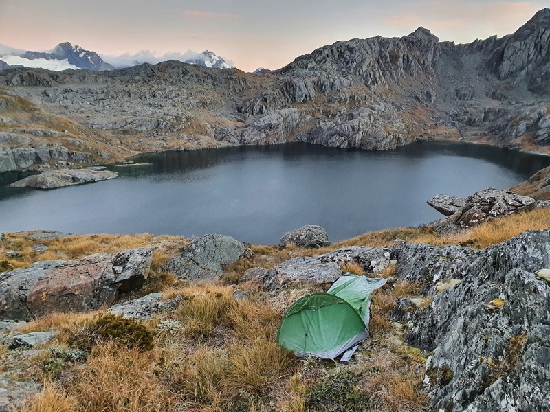
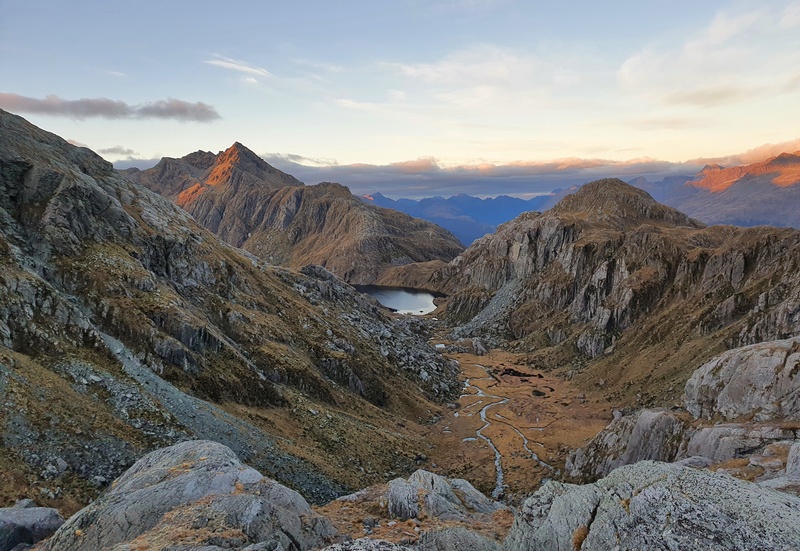
“Valley of the Trolls”…the nickname for the valley that leads towards Lake Wilson. The Valley of the Trolls sidetrip has become increasingly popular in the last couple of years given you can camp (legally) up there and near the lake (you need to be at least 500 metres of a marked Great Walk to camp).
This is a relatively easy side trip you can do while completing the Routeburn. It’s only a few kms each way to get to the lake, and while it’s getting more popular, its a lot less popular than being on the Routeburn.
There’s a couple of different ways to go to get up to Lake Wilson and you can potentially leave your tent and gear at the base of the waterfall area for camping while you pop up to have a look at the lake. But I’m all about going to Lake Wilson for camping…it might be a bit colder depending on when you go, but the sunset and sunrises are worth it.
6. CONICAL HILL
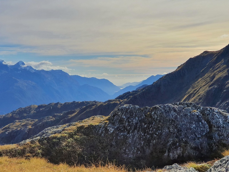
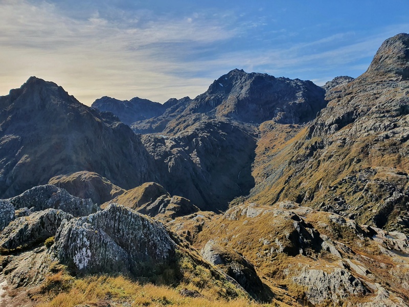
One you reach Harris Saddle/Harris Shelter (day use only), you have the option of taking the side trip to Conical Hill. It’s about 250 metres of elevation gain to get to the top of Conical Hill, all in one kilometre. So if it’s bad weather/super snowy, it’s a no go (DOC will often close this route if it’s dangerous). But if you’ve got the energy, and love a side quest this is a super fun climb.
It’s not overly technical but you’ll be working hard the whole time. Get to the top though, and you’ve got the opportunity to look in all the directions which is satisfying. A great spot for a picnic, before you pick your way back down to the shelter. I’d recommend leaving your main pack in Harris Shelter while you go up Conical Hill.
7. DEADMAN’S TRACK
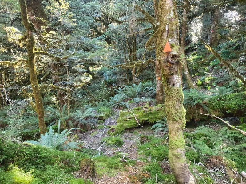
The only photo I have from Deadman’s Track
This is a route that you kind of have to bit of a psycho to do. The reason I did the Deadman’s Track is I was going to meet a friend on the Hollyford Track in a couple of days time, so I used it as a bit of a shortcut instead of doing all the Routeburn then hitchhiking all the way around.
DOC seems to think it’s an ascent only track, starting close to Gunns Camp on the road to the Hollyford. But I took the plunge down and it wasn’t as bad as I expected…but the idea of turning around to go back up didn’t sound fun at all.
8. PASS CREEK TRACK
I have yet to do this track and don’t know many people who have done it so can’t really comment on it at all!
9. MCKELLAR HUT (GREENSTONE TRACK)
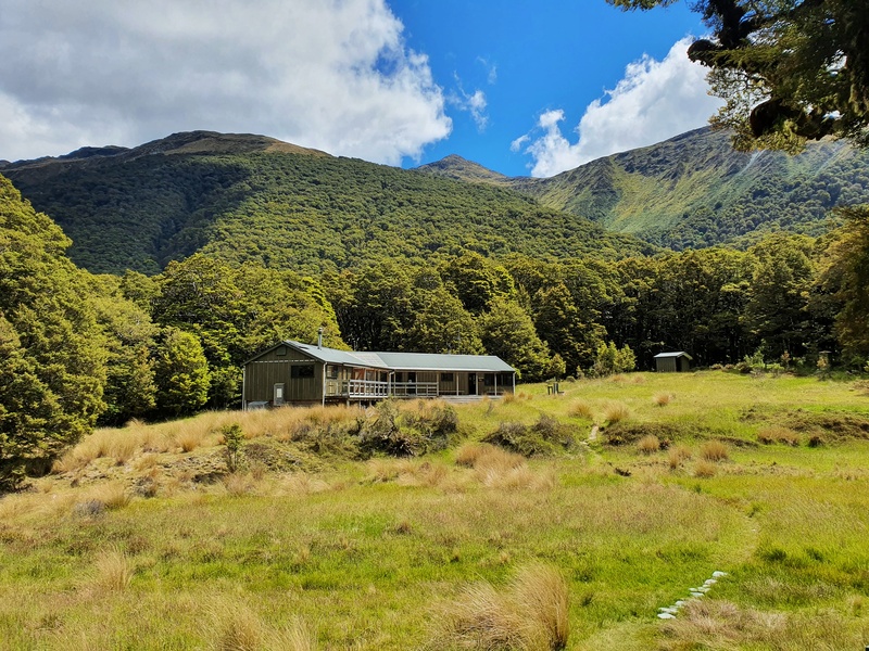
The demand for huts on the Routeburn Track is pretty intense, so if you’ve slacked on planning a bit, you could consider including McKellar Hut as part of your plan, which is also bookable.
The Greenstone Track turnoff is at the Milford side of the track, once you reach Lake Howden. You’ve then got options from there with the option to turn back to the Routeburn Track at any time…but if you need to stay somewhere, you’ve got McKellar Hut or Greenstone Saddle Campsite as options.
You can always continue on for the complete Greenstone Caples Circuit before rejoining the Routeburn if you wanted.
10. KEY SUMMIT
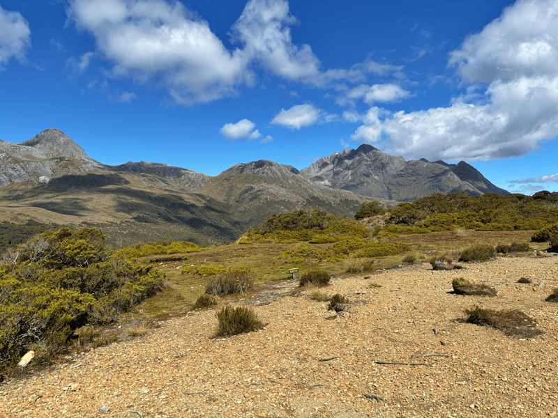
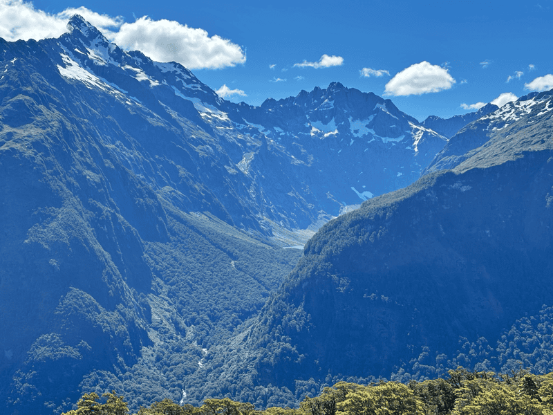
This is a very popular day hike from the Milford end of the Routeburn (the Divide), but is also a nifty little side trip if you’re doing the full Routeburn. Although depending on how you’re feeling, it might be the last thing you want…to climb again. It’s not a massive hike, with Key Summit only ~3km from the Divide Trailhead.
The turn off from the Routeburn takes you straight onto some switchbacks upto Key Summit which is a lovely little area with views. But I would suggest carrying onto the Lake Marian viewpoint which is only a few hundred metres. Have a picnic up here, that’d be awesome.
I do believe the Routeburn Track really is one of the best hikes in the world. It’s a 32km point to point trail of awesome, but thanks to all these side trips, you can spend easily a week plus exploring the surroundings.
If you’ve got any questions about these Routeburn side trips, let me know in the comments below or email jub@churnewzealand.com.
Chur.
p.s. Here’s a map of all the hikes documented on Chur New Zealand. You can click the icon to see brief details, as well as a link to read more about the hike (like this post).
Hey, it’s Jub here. I’m the guy behind Chur New Zealand, helping you have the best time hiking, trekking, walking…whatever you want to call it…in NZ. I’m based in Queenstown and am always out and about exploring trails, old & new. If you have any questions, reach out.