The Mount Judah Track is a fun 16-17km hike offering something different close to Glenorchy.
What is that something different? It’s the part of the hike where you complete a loop that takes you past a few historic huts. And one of them, Heather Jock Hut, you can stay in overnight.
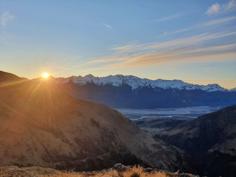
If you’re planning to stay overnight in the 3-bunk bed Heather Jock Hut, you’ll read a few tips regarding this, in addition to notes on my Mt Judah Track experience. Oh, and there’s a heap of photos.
TABLE OF CONTENTS
1. Mount Judah Track Details & FAQ
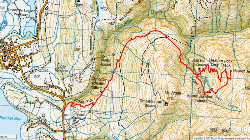
2. Mt Judah Track Map
3. How To Get To The Mount Judah Trailhead
4. My Mount Judah Walk Experience
1. DETAILS ABOUT THE MOUNT JUDAH TRACK
When1: Several times in 2020/2021.
How hard it the Mount Judah Track?2: Medium. It’s an easy track to follow most of the way. It’s a steady climb, but there’s a couple of short steeper sections to keep you honest.
How long is the Mount Judah hike?3: Strava recorded 16.5km from start to finish which feels about spot on. Google Maps says it’s 15.9km, so plan for the hike to be in the 16-17km range.
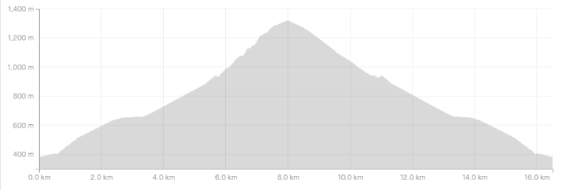
Elevation Gain4: Strava recorded 978 metres of elevation throughout the walk. Here’s elevation profile:
How long does the Mount Judah Hike take?5: DOC suggest it takes 8-10 hours to complete the loop track. This is massively excessive unless you’re planning to spend a lot of time at the huts along the way. It took me 3 hours 45 minutes to complete the track, which was walking at a good pace but it’s not unrealistic. For the majority of people, I’d say you’ll finish the walk within 4 to 6 hours (if you haven’t got a heavy pack to stay in the hut overnight).
2. MOUNT JUDAH WALKING MAP
You can click on the map above to scroll around/zoom in and out on a new tab. This is the GPX file from the Strava recording of the Mount Judah hike on top of an NZ topo map.
The Mount Judah Track is not completed on Maps.me. It’s on Google Maps (surprisingly) which I’ve created here.
3. HOW TO GET TO THE TRAILHEAD
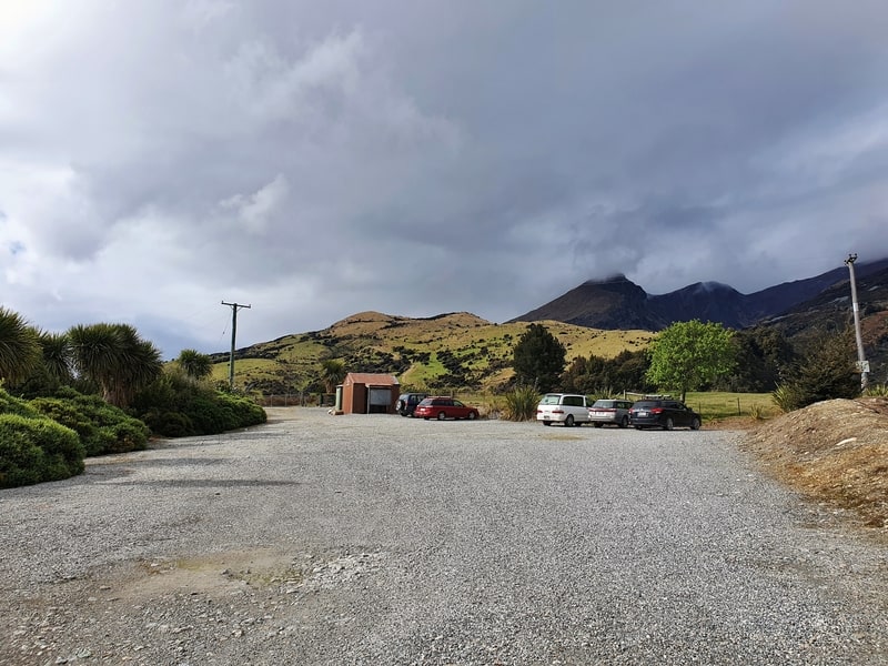
The Mount Judah car park is located on the Queenstown to Glenorchy Scenic Road, about two kilometres from Glenorchy township.
On Google maps, the car park is at the Mount Judah Recreational Trails, 2km from Glenorchy. It’s also te same place the majority of people will start going to Mount McIntosh track from.
This is one of the easy-to-access walks in Glenorchy. Most people will drive to the trail…but you could walk the 2km from Glenorchy. You can also hitchhike from Queenstown to the trailhead…just make sure to not finish the hike as sometimes hitchhiking back with minimal traffic isn’t fun.
4. MY MT JUDAH TRACK WALK EXPERIENCE
As I’ve completed the Mount Judah hike a few times, I’m going to do a recap of the track in general rather than how I experienced the track on a particular day. You should save this hike for a blue sky day for the best experience!
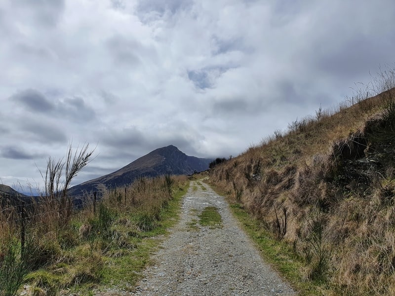
Leaving the Mount Judah car park, the track starts on a gentle incline following a 4WD track. Don’t be sad though as you’ll turn left soon enough and that’s when the real fun of this track begins.
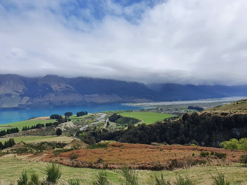
Once you turn left, you’re going around the side of Mount Judah and get views toward Glenorchy. You never actually get to the summit of Mount Judah 🙂 (check out the topo map above and you’ll see what I mean).
The climb is on a steady ascent here, but you stay on the 4WD track for a while so with the minimal technical aspect you can make steady progress…don’t burn yourself out by going hard too early though.
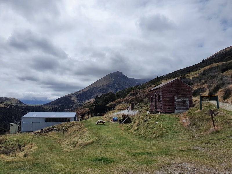
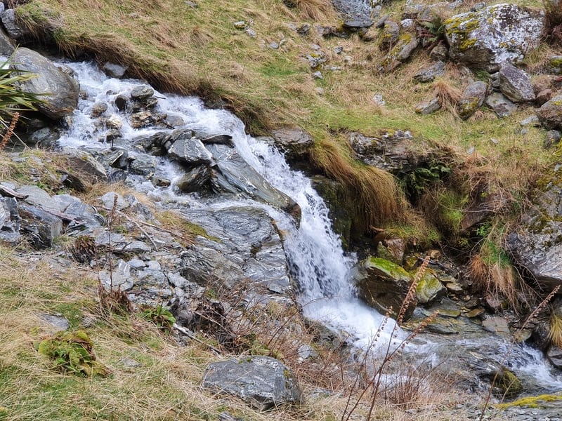
You’ll pass a couple of historic monuments along the way which is worth stopping in at a.k.a. an excuse to eat your best hiking snacks. There’s a couple of small waterfalls and mining caves to spot as well.
Just over 4km in and you’ll see the turn off for the Mount McIntosh hike to the left, you can see Mount McIntyre Hut from here on the other side of the valley too.
This is just after the part of the track where the incline increases and stays like this most of the way.
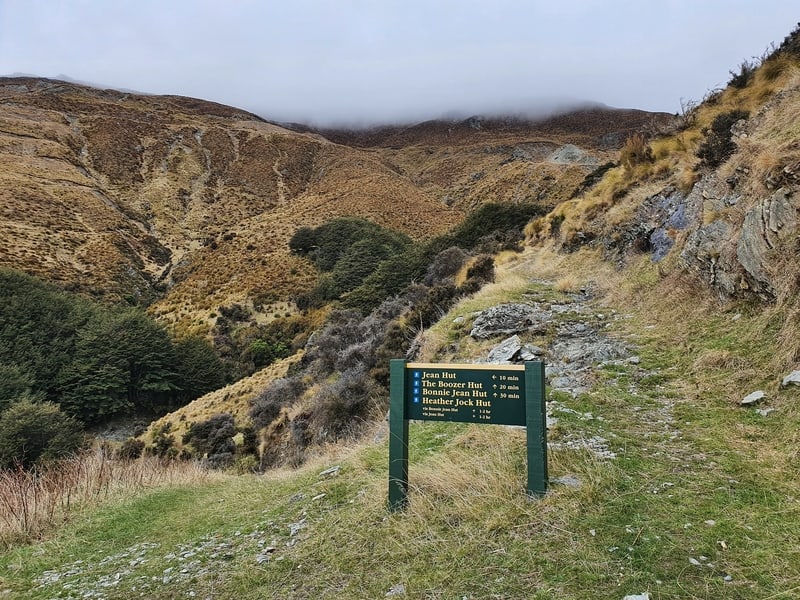
After the junction, you’ve got about 1km until the next junction. This is where the Mount Judah loop section begins. Do you go right or left?
I’ve always gone right…it’s the steeper route up, which you’ll most likely prefer as you can be gentler on your knees on the descent.
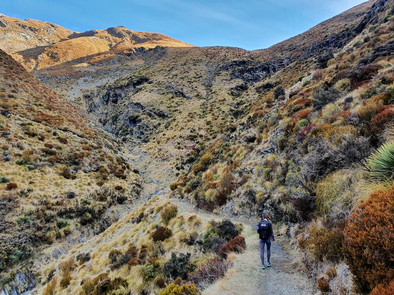
Going right means you’ll continue walking around Mount Judah and you’ll notice the valley that connects Mount Judah and Mount Alaska. Fortunately, you won’t need to go all the way up to the saddle 😉

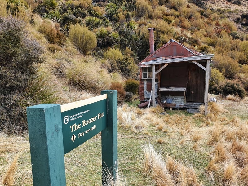
The first hut you come across is Boozer Hut which you’ll be able to see from a few hundred metres away. The hut was built in the 1930s but was relocated to its current spot in 2011 as the previous spot was on a landslip. So they’ve preserved the hut which is cool, and you can pop your head inside. If you’re writing a book, spending a few hours in here would be productive I reckon!
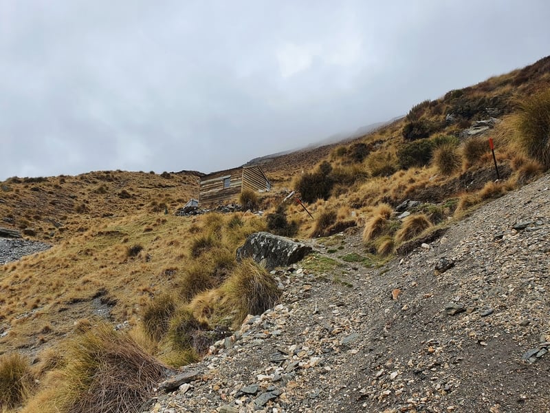
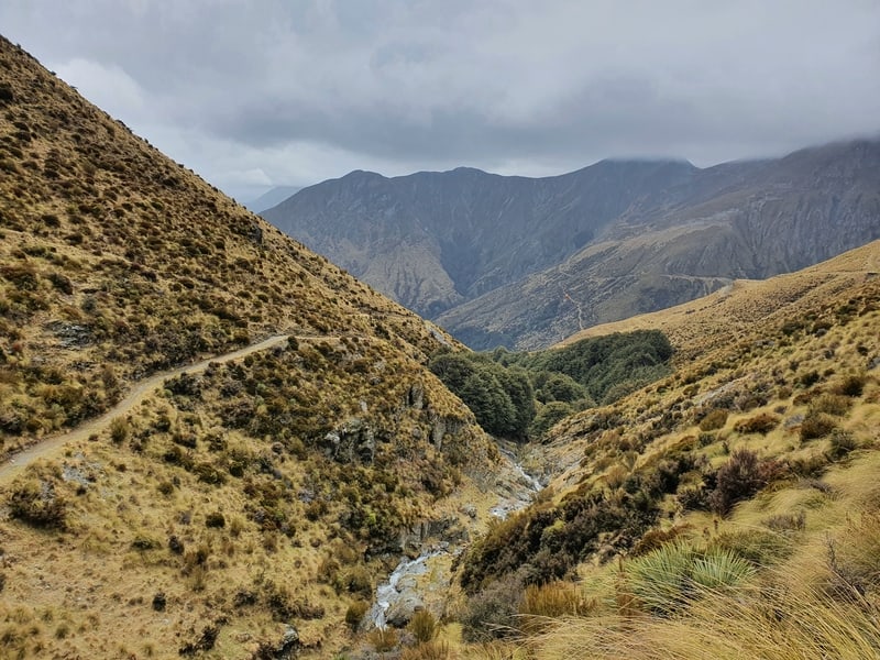
Crossing over the Bonnie Jean Stream you’ve got a steep section to the next hut, Bonnie Jean Hut. This is a poled route, and I can see why…the track veers off in a couple of spots I didn’t expect and lost the track a couple of times.
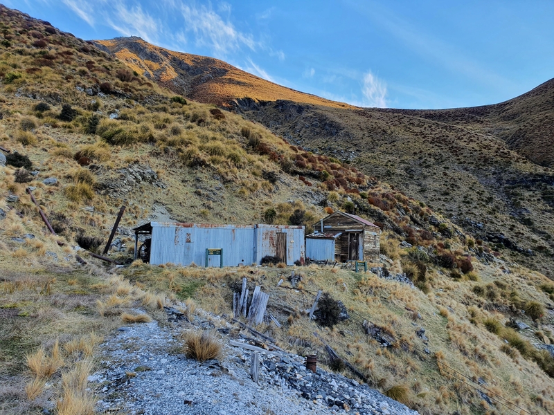
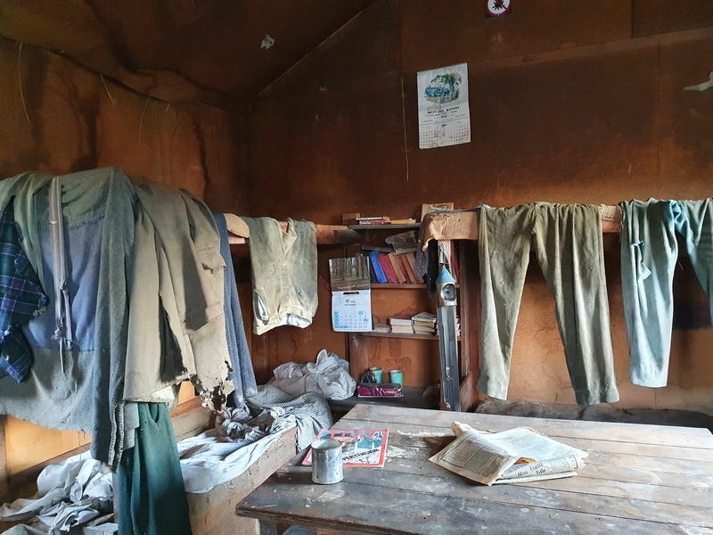
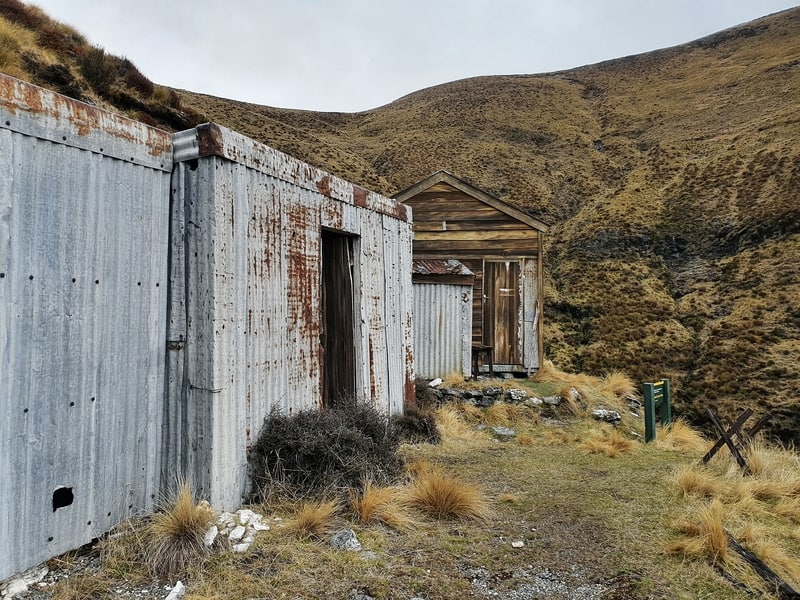
Bonnie Jean Hut is bigger than Boozer Hut and was built in 1943 during the scheelite mining era. It contains some relics like old clothing, a workshop, and newspapers. You won’t be here long but it’s super nifty.
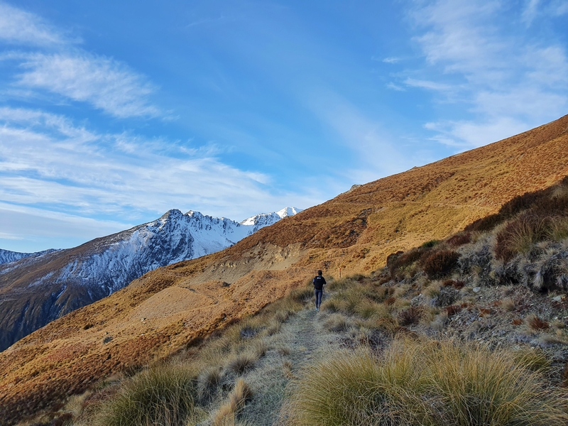
And from there, you’ve got a longer, less technical walk (see above) to Heather Jock Hut. You’ll start to get more amazing views back down the valley.
You’ll then come across the sign to Heather Jock Hut, which is another 10 minutes away.
And then you’ve made it to the high point of the hike!
About Heather Jock Hut
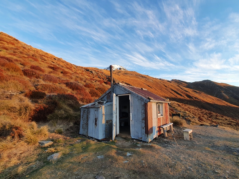
Heather Jock Hut built in the 1930s is a 3-bed bunk 1300 metres above sea level. And you can leave your Backcountry Hut Pass at home as the hut is free to stay in.
With that said, you might want to bring a tent in the summer if you’re arriving late as the hut could well be full but during winter there weren’t many people staying overnight as per the Intentions Book (there could well be snow below the hut level).
The hut doesn’t have a fireplace but does have mattresses. It’s small and cozy, but I loved it. On my last visit to stay at Heather Jock overnight, there was a small fire pit out the front. Be responsible!
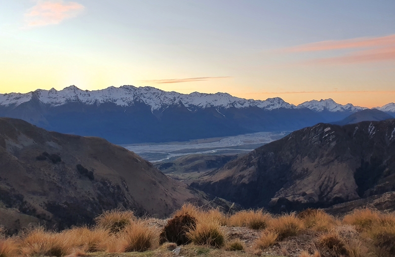
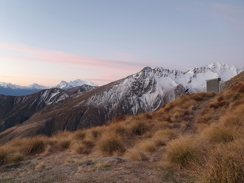
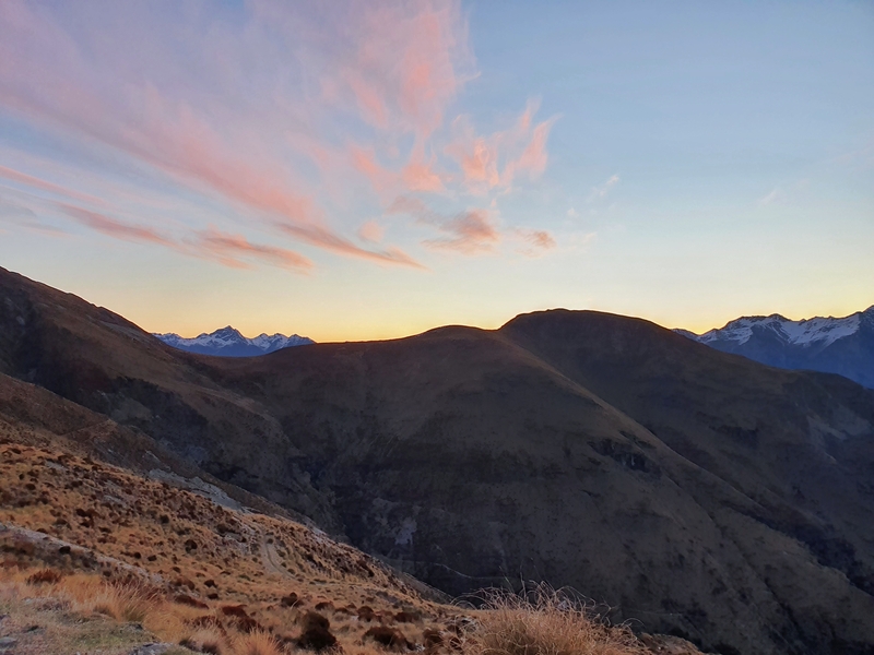
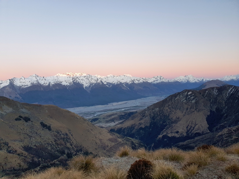
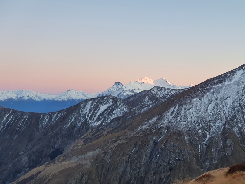
Both the sunset and sunrise from Heather Jock Hut are incredible…but the sun does take a while to reach the hut in the morning. What I recommend doing is climbing up behind the hut for a few minutes, and you’ll find some early morning sun!
If you’re super ambitious you can consider heading up to Mount Alaska. For the majority, this won’t be doable, and over the winter it’s all but out of action for all but those experienced with alpine conditions as the peak is above 1900 metres.
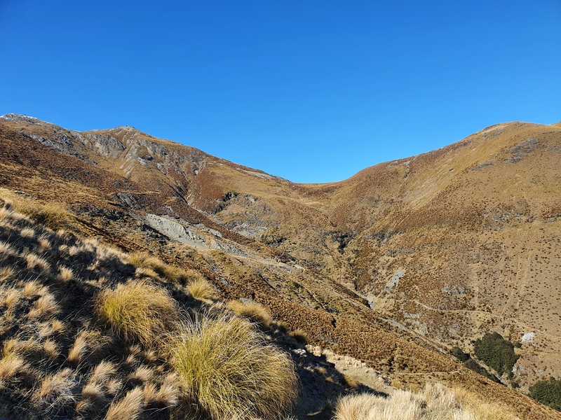
Here’s a bunch of photos from Heather Jock Hut during sunrise and sunset.
And back to the hike…
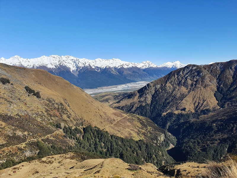
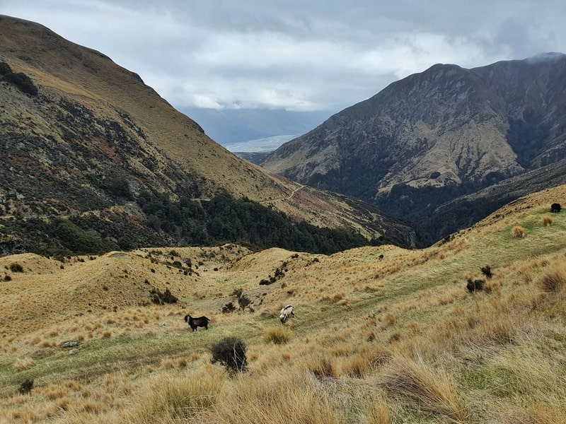
The descent back down the track follows an old mining trail which means lots of switchbacks to start. There’s a decent amount of grass on these switchbacks and if there’s a bit of moisture about there are some suuuuuuper slippery sections. I found myself on the ground a couple of times :p
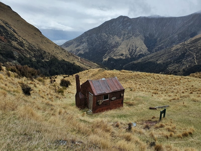
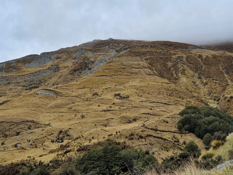
The switchbacks take you all the way down to Jean Hut which is again constructed with flattened iron drums. The unique part about this hut is the rocks hanging around the outside to keep it in place. Make sure to pop your head inside before continuing on.
It’s another 10 minutes or so (with a small crossing back over Bonnie Jean Stream which is easy to keep your shoes dry) before you get back to the junction where you turned right.
And from here it’s time to keep heading back down the hill the way you came while soaking in the views towards Glenorchy.
If I was to go Mount Judah vs Mount McIntosh, I’d have to give the edge to Mount McIntosh due to the variety of views you get. But if you’re fascinated by historic huts, Heather Jock Hut is the winner.
If you have any questions about hiking Mount Judah or staying at Heather Jock Hut overnight, let me know in the comments below or email jub@churnewzealand.com .
RECOMMENDED READING
200+ Things to do in New Zealand
It’s time to start brainstorming…
Where to find walking trails in Queenstown
Let’s be honest…they’re everywhere. This gives you a bunch of good options though
Amazing walks found in Arrowtown
There’s a sneaky amount of good walks right next to town.

Hey, it’s Jub here. I’m the guy behind Chur New Zealand, helping you have the best time hiking, trekking, walking…whatever you want to call it…in NZ. I’m based in Queenstown and am always out and about exploring trails, old & new. If you have any questions, reach out.

Hi there, I loved reading your information. I would be interested in doing the hike to the Heather Jock Hut taking the Judah track. The only thing i could not quite figure is how technical the hike would be? I have problems with my knee and would find it difficult if I had to climb up or down from bigger rocks. I generally use two poles. It would be okay for me to have to navigate larger rocks once or twice but not over a longer stretch. Now my question..could you tell me or describe the hardest part of the track (even if you have photos) so that I can get a better idea …. not a matter of fitness for me but rather a functional thing as to whether my knee can deliver or not. Also could you please explain what you mean with switch back…and how technical the climb down would be. Many thanks
Hey Stefanie, thanks for the kind words. Sorry for the delayed response!
The technical aspect in terms of rocks is minimal, but I would involve coming down from Mount McIntosh following the fenceline as there can be some awkward steps that route…head back via the 4WD track.
The hardest part of the track is probably the section between the two huts day huts…I don’t have any photos, but that’s a short section and it seems like you’ll be good it is.
Switchbacks are trails that go back and forth up a hill so that the incline is less than a track going straight up the hill. If you’ve done Roys Peak, that’s got lots of switchbacks. I’ve been on this section a few times since writing this post…as long as it’s not too wet it’s not technical at all. If it’s raining, just make sure you’re footing is good…poles will help here 😀
Hiya, many thanks for your reply and details…feel more prepared now! Stefanie