The Moonlight Track (the one in Queenstown) is a 15km+ end to end walk with a decent amount of elevation.
Note: You can also start the Moonlight Track from Moke Lake. I’ll be referring to the Queenstown Tiki Trail trailhead in this post.
The Moonlight Track takes you along a lot of the Ben Lomond Track before continuing north at the saddle and finishes in near a couple of breweries and other things to do in Arthurs Point.
This post will give you all the details you need to know before setting out on the Moonlight Track. There are lots of photos too.
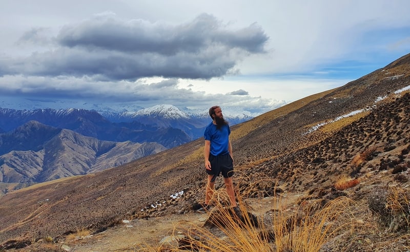
Proof of doing the Moonlight Track.
TABLE OF CONTENTS
DETAILS ABOUT THE MOONLIGHT TRACK (QUEENSTOWN)
Rating?1![]()
I struggled with rating this hike having experienced the epic Ben Lomond Track sunrise the previous day. For an end to end walk, this is pretty sweet given the ease of getting back to Queenstown. And the section of the track that crosses private land is easy to follow.
It’s just lacking some oomph, which I think may be because it’s always going to be compared to the full Ben Lomond Track. I think.
When2: October 2020
Difficulty3: Medium. It’s more the length than anything that’s going to be the biggest obstacles, with the sections of single trail easy to navigate.
Hike Distance4: My Strava data says the walk is 17.99km. That’s from the bottom of the Tiki Trail to the bus stop in Arthur’s Point.
Incline5: Strava registered 1,156 metres of elevation gain, with the majority of that in the first 6km up to the Ben Lomond Saddle. There’s one more uphill section later on the track towards the end, but that’s less than 150 metres of elevation gain.
Hike Duration6: It took me 4 hours and 45 minutes to complete the walk which included stopping for 20-30 minutes to chat with a fellow hiker. Other than that I kept moving along at a steady pace.
If you’re in a hurry, you could get this done in 4 hours but I feel like 4 hours 15 minutes to 5 hours 30 minutes is going to be the right amount of time for the vast majority of people.
MAP OF THE MOONLIGHT TRACK
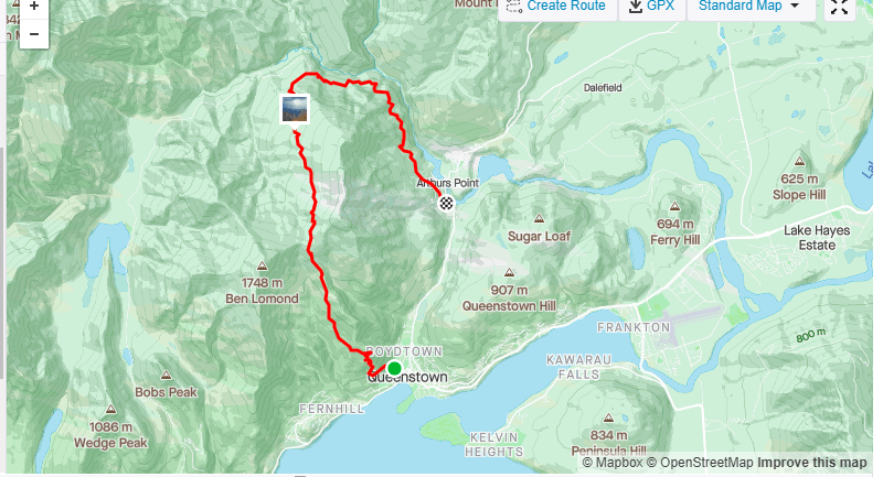
Normally I show a screenshot from Maps.me here, but I couldn’t fit it all in one screenshot. So I’ve attached the map from Strava to give you an idea of what kind of area you’ll be walking.
With that said, download Maps.me to make sure you’re staying on track throughout.
HOW TO GET THERE
The trail starts at the bottom of the Tiki Trail which is easy to get to from anywhere in Queenstown. That said, if you want to shave !2km and 400 metres of elevation off of the walk, you can take the gondola up the hill.
To get back to Queenstown from Arthur’s Point, head to this bus stop and have some cash or Bee Card in your pocket. You can check the timetable here.
MY EXPERIENCE ON THE MOONLIGH TRACK
I was unsure how I’d feel on the Moonlight Track having walked the Ben Lomond Track the previous day.
Would it be a big let down and a waste of time? Would it be even more epic, but no one knows this yet?
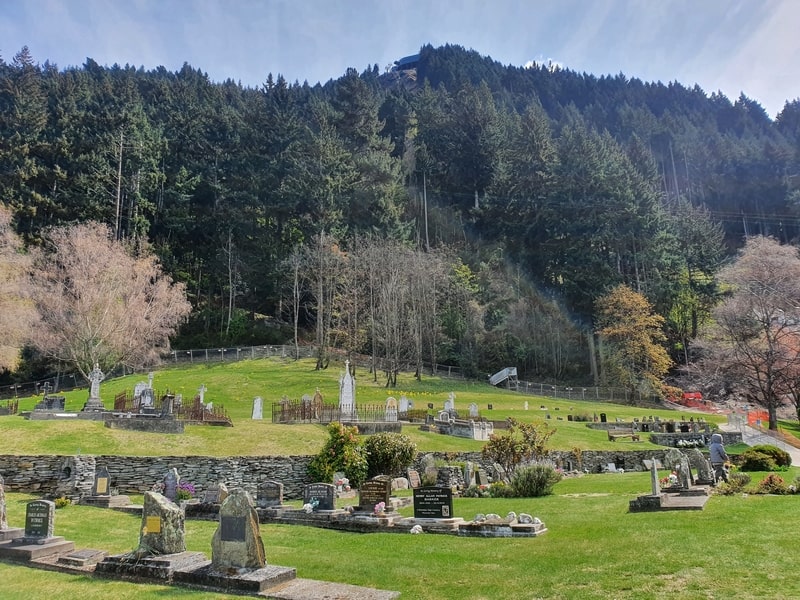
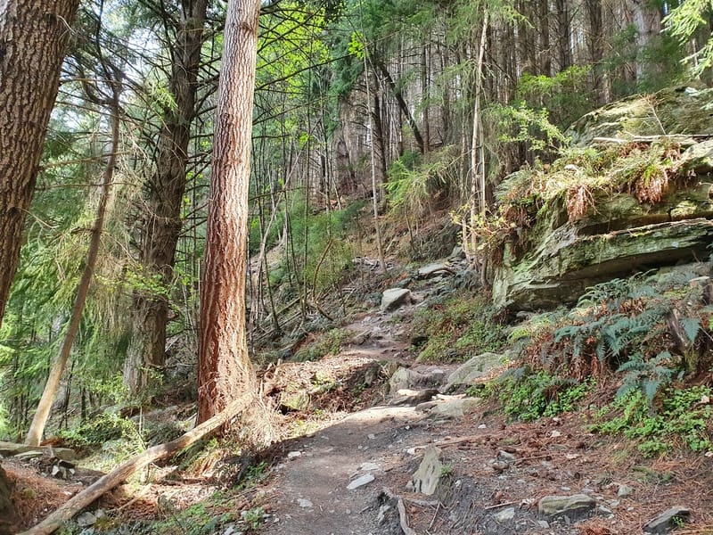
Walking towards the Tiki Trail you walk through Queenstown Cemetery due to some construction. I couldn’t help think it was weird with some kids sliding around where people come to mourn and pay respect to their loved ones.
Anyway, the Tiki Trail is more technical than I recall and I was impressed we managed to get up there so quick in the dark the previous day. There were young kids making there way up the track with their parents, so it’s manageable for all, but there are some steep dropoffs so I’d say it’s best to keep them close.
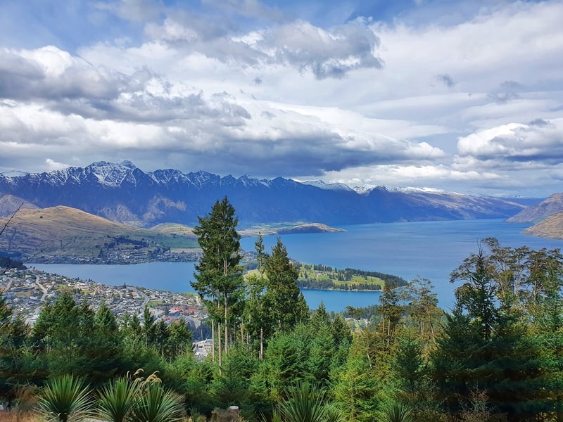
On the way up you do get views of Lake Wakatipu from time to time as you quickly gain elevation (400 metres in 2km).
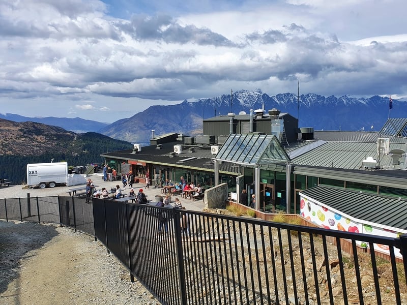
Emerging from the Tiki Trail in about 34 minutes (for reference this is a good speed, a friend said she took a full hour) there were plenty of people enjoying the Skyline attractions, particularly the luge, one of the best in Queenstown. I found that using Maps.me the easiest way to navigate through the Skyline, as the signage isn’t super easy to follow to get to the track (and they don’t mention the Moonlight Track at this stage).
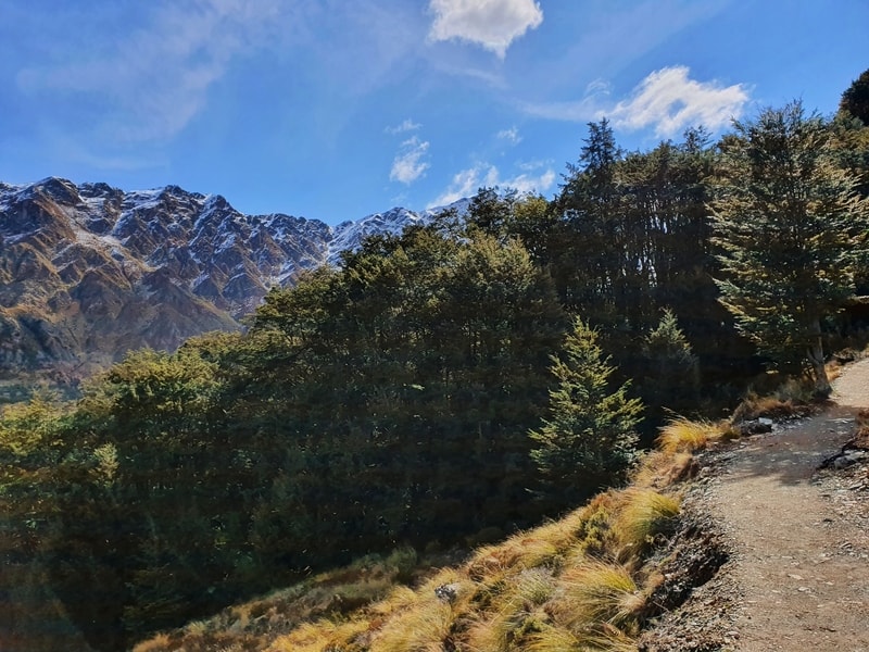
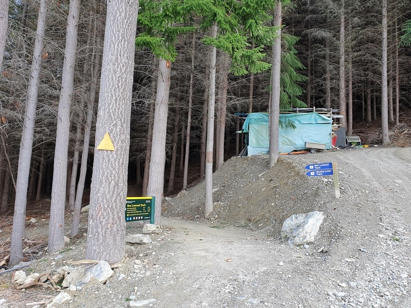
Exiting the Skyline attraction area, you’ll see the trail leads to some through a forested area. This is also the flattest section you’ll have for a while so if you’re worried about time, get through this section quickly.
The trail emerges from the trees and sweeps around the side of the hill (mountain?). The track is cut into the side of the hill which you’ll be following most of the way through to the saddle. There are some mountain bike tracks in this area, something to stay aware of (you’ll see some small signs letting you know where they are).
The walk to the saddle is amazing. The incline starts up again, but it’s not crazy steep as you eye a mountain peak in the distance. We won’t be going there today. Don’t forget to look behind you too, this isn’t an out and back walk so make sure to take in the views of Lake Wakatipu.
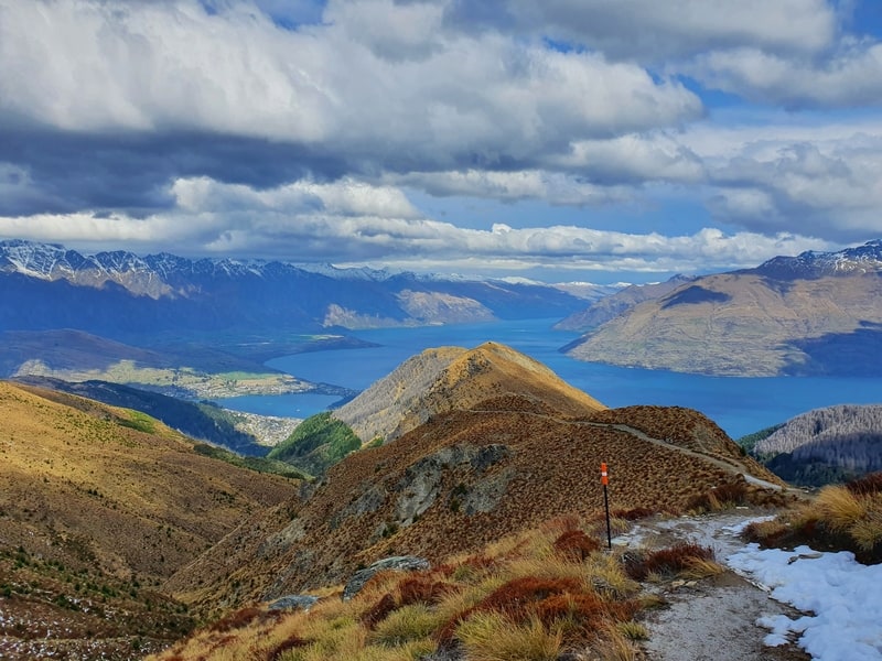
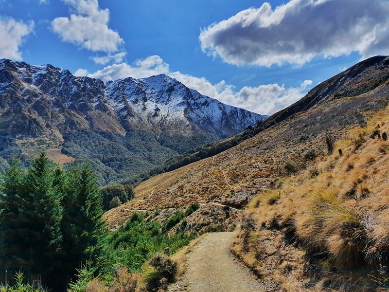
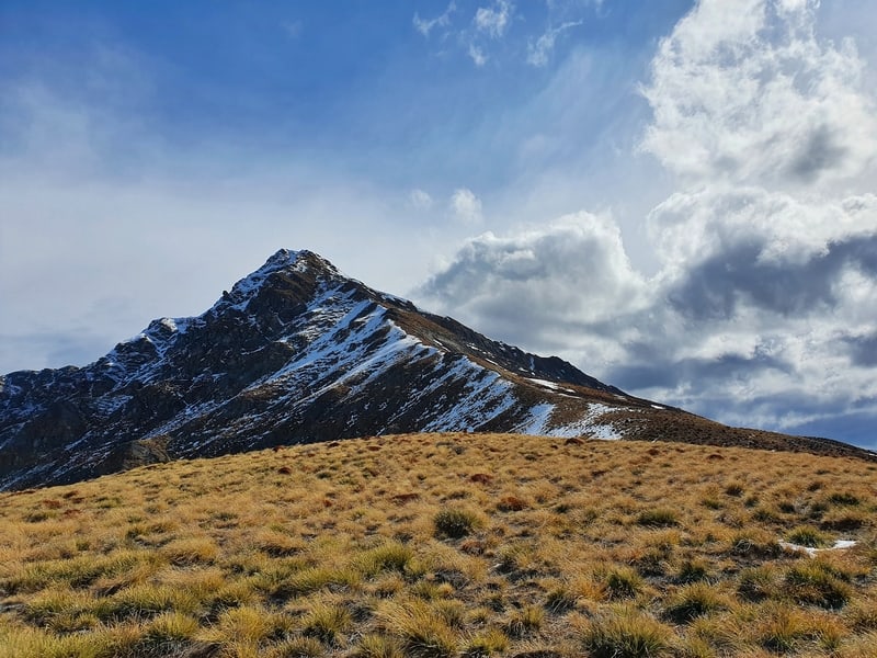
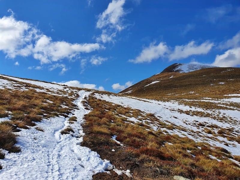
Once you get to the Saddle, you’ll be continuing straight rather than turning left up to the summit. The saddle is also the highest point of the walk for the day.
As you continue straight over the saddle you transition onto private land (Ben Lomond Station). The trail sidles alongside the hill for a while, barely wide enough for one person to walk on at times. Combined with a little bit of snow, this got pretty slippery in spots. But on a normal nice day, it’s nothing to be concerned about. Unless you’re drunk and can’t walk in a straight line.
I couldn’t help but continue looking left back towards the peak, with the two ridgelines trailing off on either side.
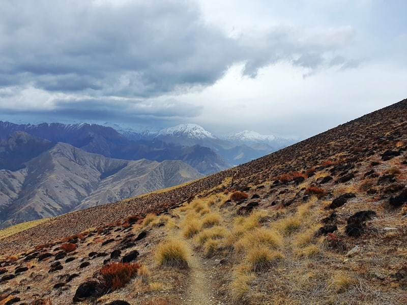
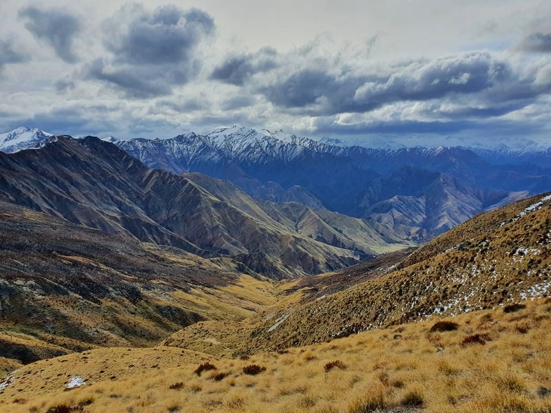
Straight ahead and you’re looking at a field of mountains. Again, we won’t be heading into them today but if you can let your imagination do its thing. Since the saddle, we’ve been walking downhill, but it really didn’t feel like it to me for some reason.
There were some soggy sections along this part of the walk. I’m not sure if they were little streams of water from a spring or that was where the water from melting ice was funneling, but my shoes were getting wet. Nothing crazy, but something to be prepared for.

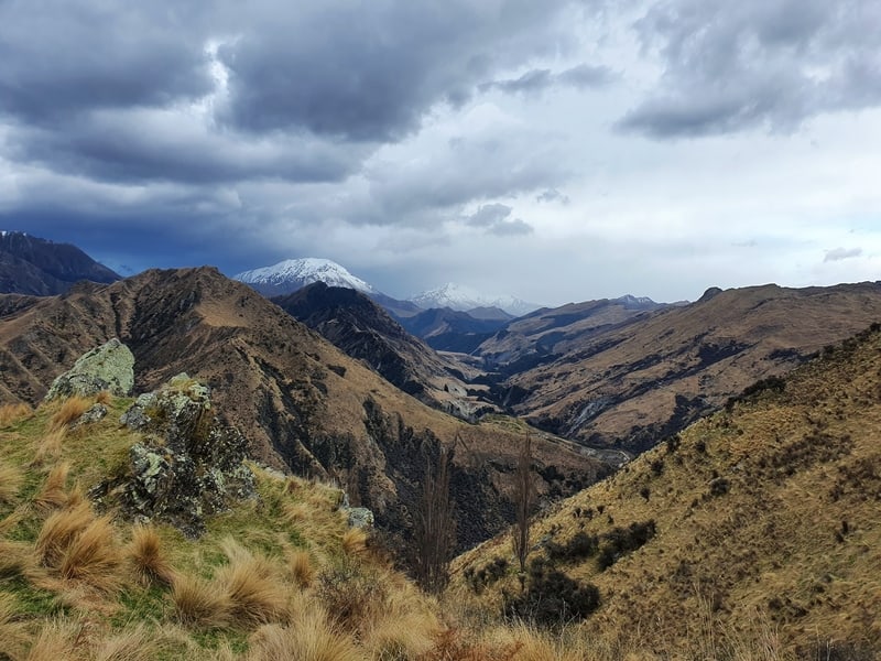
Once I started getting a view of the valley (photo above) I was obsessed with that for a while. There were a couple of rocks where you could set up a good Instagram photo if you wanted 🙂
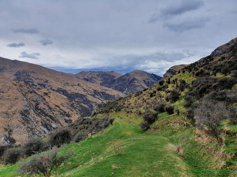
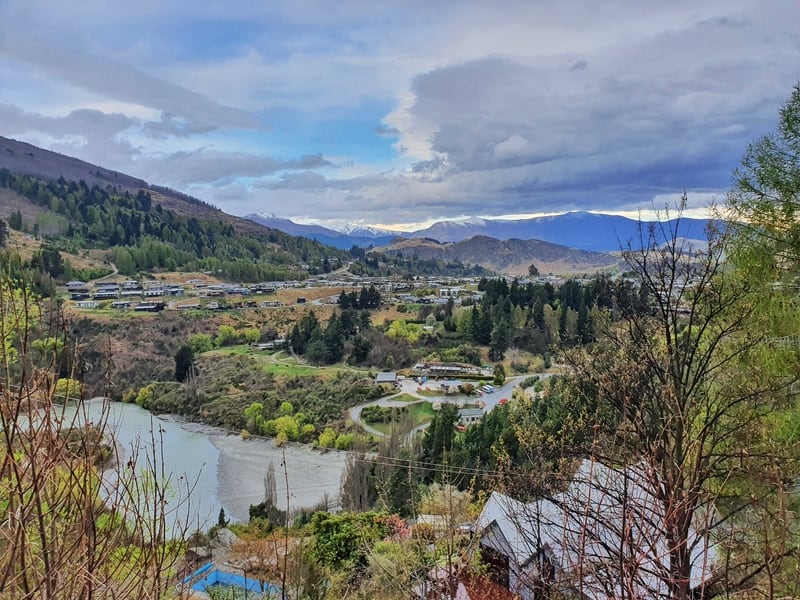
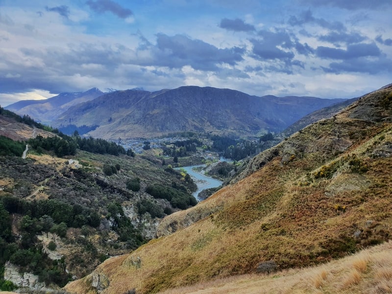
Rounding the side of the hill, you’ll see the Shotover River come into view. I thought the track would run bext the river, but nope. Just as you think you’re getting close to it, you hike up another 120 metres or so above the river and follow it from above. Which does give great views. And you’ll see Arthur’s Point in the distance, our goal.
From it’s a cruisey downhill gradient with a couple of small streams to hop over. I really liked the rock formations in this area too. I was hoping to see someone jump on the canyon swing on the other side of the river but it wasn’t to be.
Once you exit the track a couple of kilometres from the bus stop, you’ll walk along a dirt trail for a few hundred metres before following the road down to the bus stop. If you’ve got time up your sleeve maybe you’ll go on the Shotover Jet or Canyon Swing.
You’ll be pretty knackered after the walk, I’m not sure if that makes it a good time to do these activities or not 🙂
The Moonlight Track is great in normal circumstances. But given you’ve got the option of heading to the peak of Ben Lomond once you hit the saddle, this track is always going to struggle in a popularity contest of the best walks in Queenstown.
RECOMMENDED READING
Chur New Zealand’s ultimate list of things to do in NZ
Use this for a fun brainstorming session before your trip begins
Is Fergburger worth it?
I’ve got to say yes, but lots of others chimed in on this post
New Zealand Travel Tips
Lots of tips and tricks for travelling New Zealand

Hey, it’s Jub here. I’m the guy behind Chur New Zealand, helping you have the best time hiking, trekking, walking…whatever you want to call it…in NZ. I’m based in Queenstown and am always out and about exploring trails, old & new. If you have any questions, reach out.

Thanks! Good information. I’m doing this track tomorrow 🙂
Hey Camila,
How was the track? I had a couple of friends do it yesterday too. They said it was a bit mucky on top?
Cheers,
Jub
Thanks jub. Nice and informative
Heading to QT in September, this track has been on my bucket list
Was thinking of doing it in reverse, from AP to QT any tips or advice
Cheers 🍻
Hey Claude,
Make sure you bring plenty of warm gear, can be chilly in September! Are you going around Moke Lake or over Ben Lomond saddle?
hey Jub, thanks for the reply. going up over the saddle and if time and weather permits a trip to the summit.
is the track to the saddle pretty easy to see / navigate?
cheers again.
Hey Claude,
Yup, easy as to follow! Well worn track 🙂
Enjoy.
Chur,
Jub