
The Wye Creek Track to Lake Alta is not an easy hike. But if you’re up for it, you’re in for a treat.
If you haven’t done any hiking before, you’ll be better off with one of the other Queenstown hikes like Queenstown Hill or the Lower Wye Creek Track.
Add in the fact that you’ll likely need to do either a key swap or utilise two cars among your group, and this is one of the South Island hikes you’ll want to prepare for a little bit. It’s not a walk you do on a whim…you can do that more on the Lake Alta Track from the Remarks skifield.
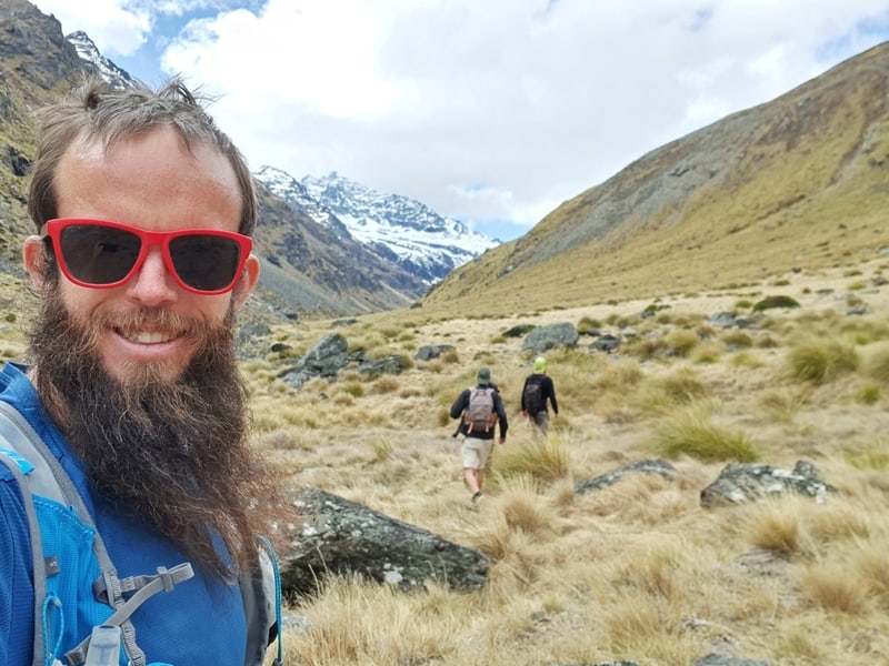
Proof I’ve been on the Wye Creek to Lake Alta walk/hike.
TABLE OF CONTENTS
1. Wye Creek To Lake Alta Details
2. Wye Creek To Lake Alta Map
3. How To Get There
4. My Wye Creek To Lake Alta Experience
1. WYE CREEK TRACK TO LAKE ALTA DETAILS
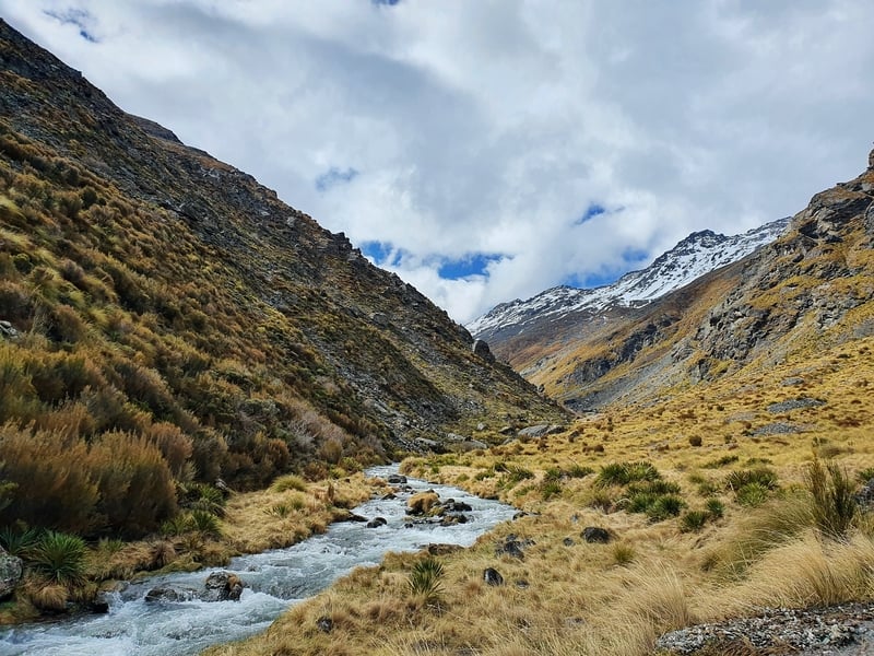
QUICK DETAILS:
- Distance: 15 – 16km point to point
- Elevation Gain: ~1700 metres total
- Difficulty: Hard to advanced
- Download the GPX File
How hard is the Wye Creek To Lake Alta Route?
Hard to Advanced. This is a tough hike with some route finding necessary. And it’s more or less all up hill. Add in the potential for the four seasons in one day weather and it quickly gets tough if visibility is low.
How far is the hike from Wye Creek To Lake Alta?
I recorded 15.2km for the day. We definitely didn’t walk the shortest distance between some sections so it’s not going to be 15.2km for everyone so use that as a ballpark figure.
What’s the elevation gain for this route?
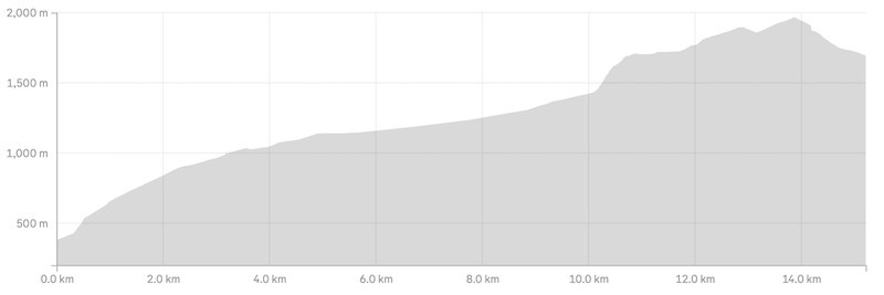
I recorded 1694 metres of elevation gain (5,500 feet) which felt a bit right. There’ll be little variations depending on the exact route you take.
Here’s the elevation profile:
How long does it take to hike from Wye Creek to Lake Alta?
It took us 5 hours and 54 minutes to reach The Remarkables car park. We took two 10-15 minute breaks, but other than that we kept moving at a solid pace (it took us ages to get from the saddle to Lake Alta).
Solo? I could have completed the walk in 5 hours. But the DOC signs indicate it could take up to 8 hours. All that too say, leave yourself plenty of time to finish the walk in the daytime.
If you’re looking for another challenging hike in the same area, look into the Queens Drive Wye Creek Circuit.
2. WYE CREEK TO LAKE ALTA MAP
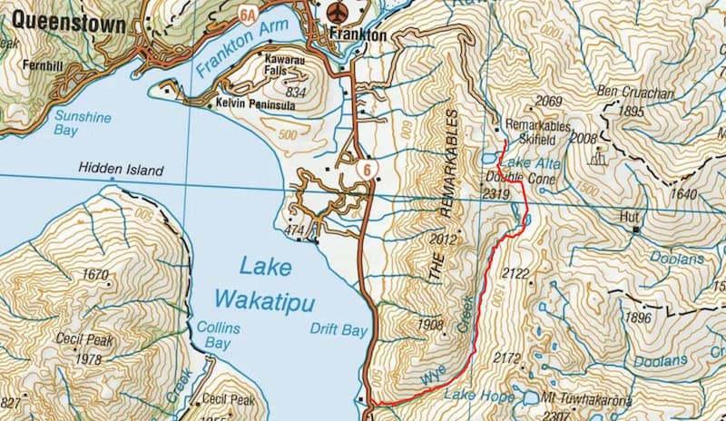
(you’ll need to click on the map to zoom and out of the map).
The map above is the GPX file overlaid on the awesome topomap.co.nz. Given the difficulty of this route, I’d recommend downloading the GPX file (linked above under quick details) onto your phone and put it on a topo map app. There are free ones, but you can read about my favourite paid app here.
You can see the entire route on the Maps.me app but Google Maps only has the Lower Wye Creek track part of the trail.
3. HOW TO GET THERE
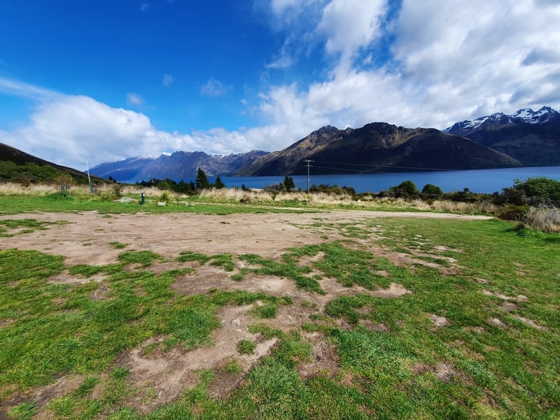
This is going to be the tricky part as it’s an end-to-end walk. In theory walk out and back in one day, but that’s a long day.
What we did was use two cars. We drove both cars up to the top of The Remarkables Ski Field. We left one car there and all went in the other car to the Lower Wye Creek Track car park.
After the hike was finished we all jumped in the car left at The Remarkables and drove back to the Lower Wye Creek Track car park to collect the other car. This sounds like a big deal, but it’s not an uncommon situation when hiking in NZ.
The entrance to the track is through a gate (close it behind you) here, a little over 20km from Queenstown. Once through the gate, drive for 200 metres or so and you’ll see the car parking area. The 200 metres to the carpark can be potholed so if need be you can park on the side of the road at your own risk.
Note: The drive up to The Remarkables Ski Field is not easy. Both cars (cheap backpacker vans) battled overheating on the way up. If your car is not in great condition, try and find an alternative option. During summer you’ll need to pay for entrance to the road (15$ at time of the last update).
We considered trying to hitchhike back down from the ski field, but with our predicted finishing time late, we weren’t sure if we’d be able to get a ride back before everyone leaves.
4. MY WYE CREEK TO LAKE ALTA EXPERIENCE
After the car troubles on the way to The Remarkables, we didn’t get to the Lower Wye Creek Track car park until about 1.45 pm. That left us about six hours of daylight to complete the walk. With the DOC suggested times we figured we should be able to finish by sunset as long we moved sufficiently.
Quick Tip: If you prefer hiking with a guide, there’s an Airbnb experience you can book that’ll take you to the Remarkables.
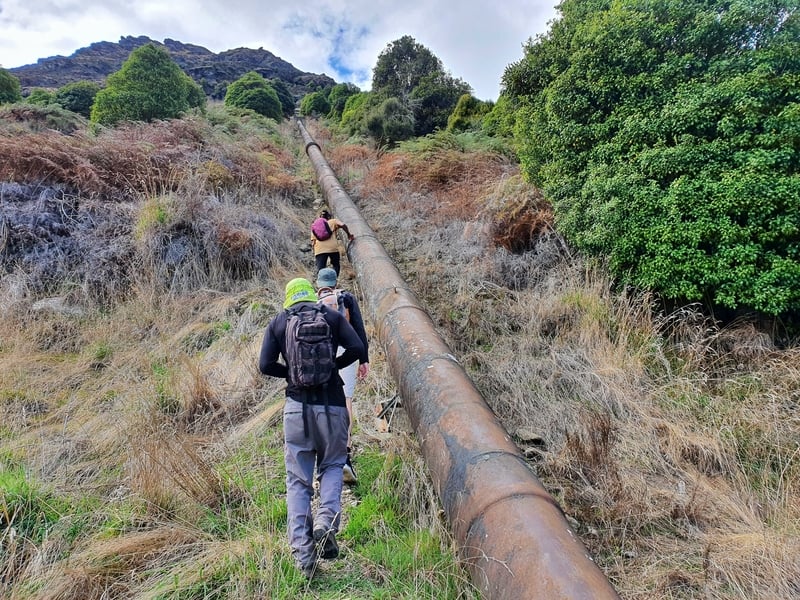
The track starts off on a 4WD track leading to a series of switchbacks. One of our group suggested we walk straight up the pipeline to save some time rather than going back and forth on the switchbacks. That was a hectic start to the hike, but a good idea overall and saved us a few (what turned out to be precious) minutes.
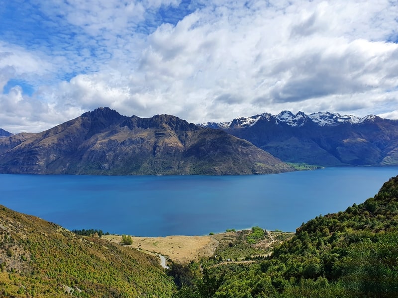
Once we got to the top of the pipe (your last chance at a toilet) the views back over Lake Wakatipu were awesome, and we could see a waterfall on the other side of the valley.
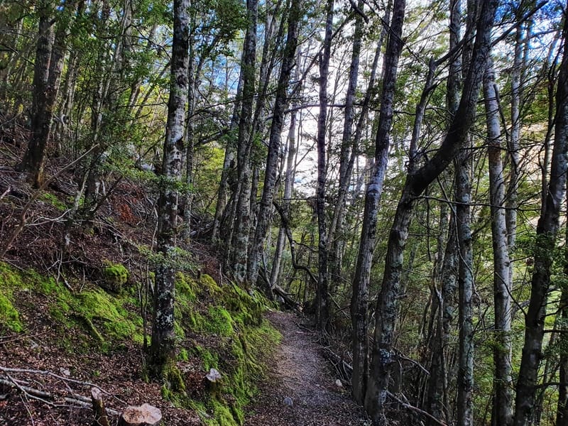
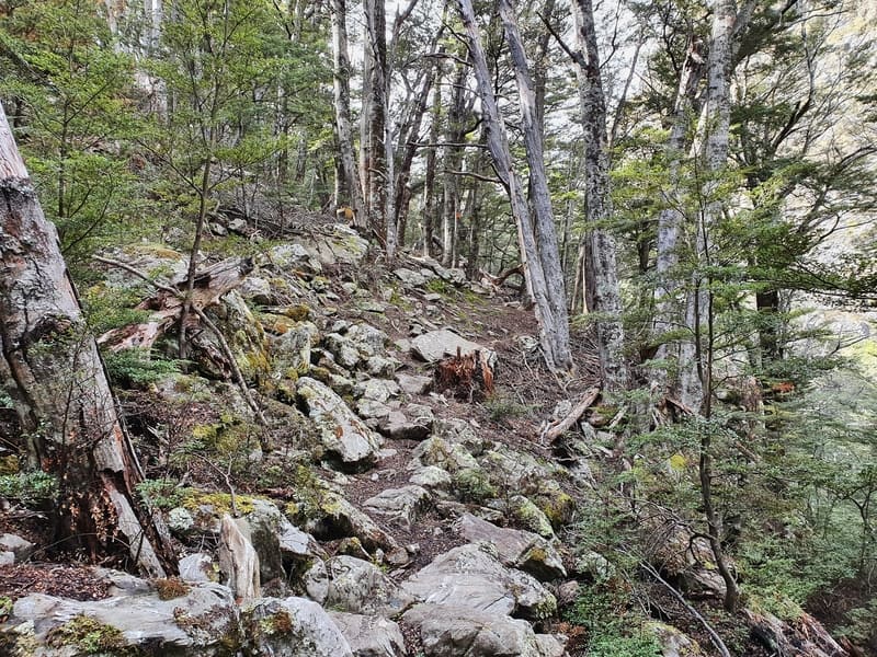
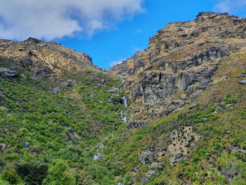
The next section which carries through to the end of Lower Wye Creek Track is pretty much all through the bush. But there are some openings for views.
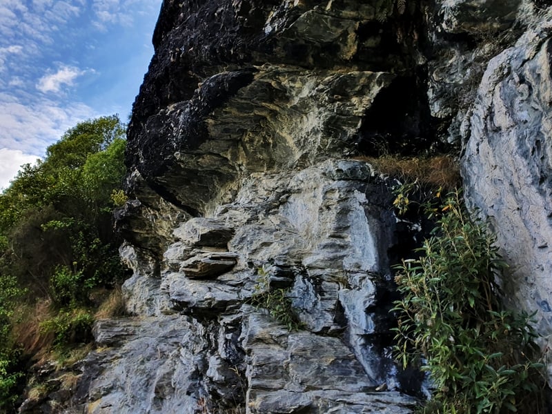
There are also a few rocks popular with climbers, so you may see them. The overhang in some spots looked super intimidating.
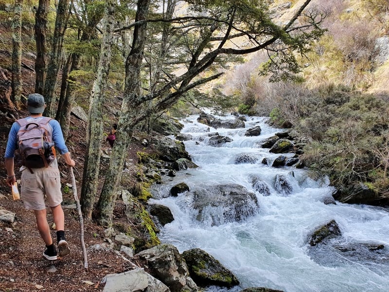
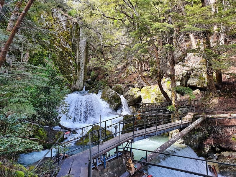
For reference, it took us about 22 minutes to reach the hydro dam area (seen above) and 58 minutes to reach the end of the Lower Wye Creek walking track (there’s a DOC sign here saying it’s 6-8 hours to reach Lake Alta). When you get to the DOC sign you can go left and you’ll see a clearing which you can walk up to and get some views for food above the tree line.
Note: If you’re looking for the route to the helipad, you’ll turn right at the sign..
This is going to be as far as some people make it. We saw three people coming back down who mentioned they had gone for a swim at the end of Lower Creek track. We weren’t sure exactly where…but if you don’t mind super cold water, I’m sure you’ll find a spot.
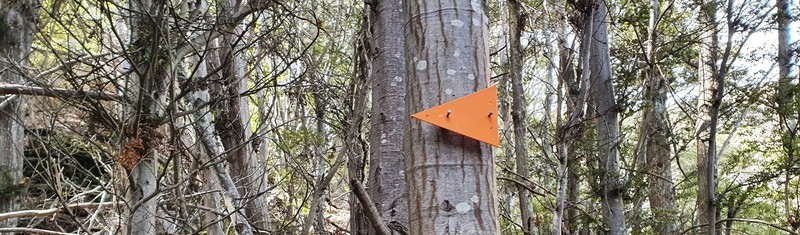
Continuing on past this point means you’re going onto an unmarked trail…in reality, there are a few more markers to start. The track is clear enough to follow, and you’re walking right along Wye Creek for just over one kilometre when you get to the point where you’ve got to cross the stream. You’ll know you’re there as there’s an orange triangle on the other side of the river.
With the snow melting, we were a bit worried about where to cross as the water was moving fast. Though two of the four of us managed to leap across with their long legs. Me and another guy walked across (it’s not a wide creek), and carried on safely. Use your own judgment and turn back if need be.
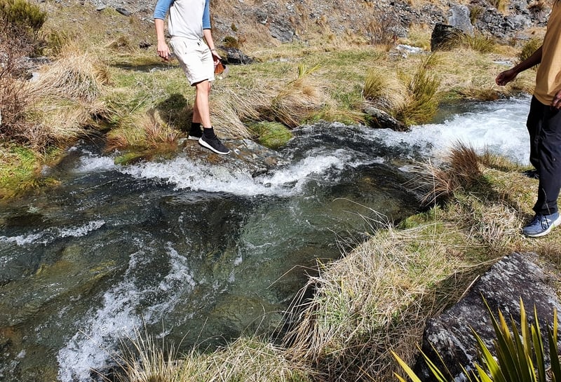
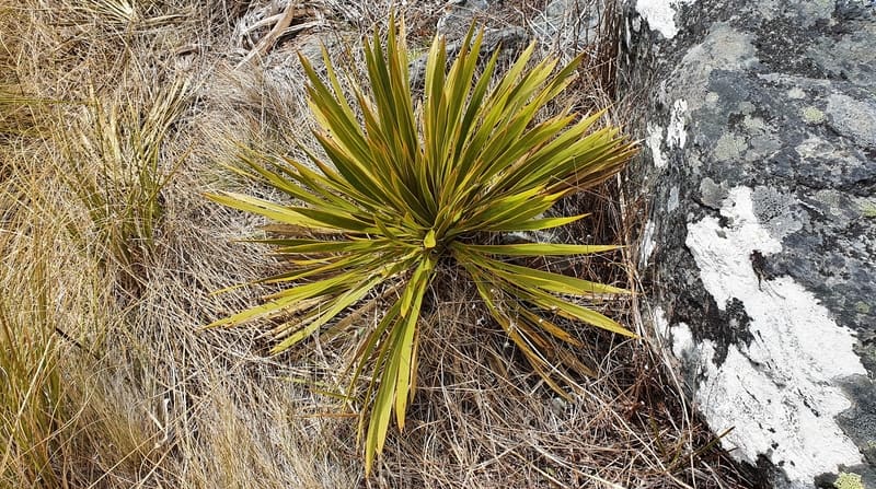
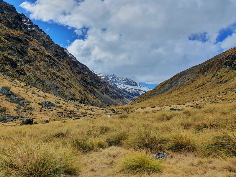
From here you won’t see many more orange triangles (if any). The only thing you need to keep in mind is having Wye Creek on your left for the next 6-7 kilometres or so. You’re above the treeline now, so we were walking among tussocks, spaniards, and a couple of other native bushes in this section.
From time to time we found what we thought was a track, but it would soon end and we just kept moving forward.
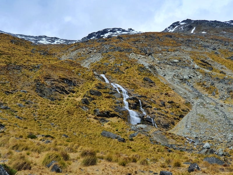
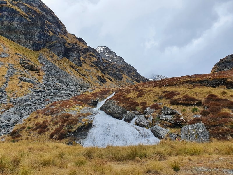
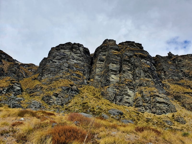
You’re still going uphill through this valley, but the incline is minor so you get a bit of a break. I really liked the rock formations we passed, along with the various waterfalls.
The landscape changed slowly the deeper we got into the valley, so even though it was 6-7km of ‘same, same’, it was 100% NOT boring.
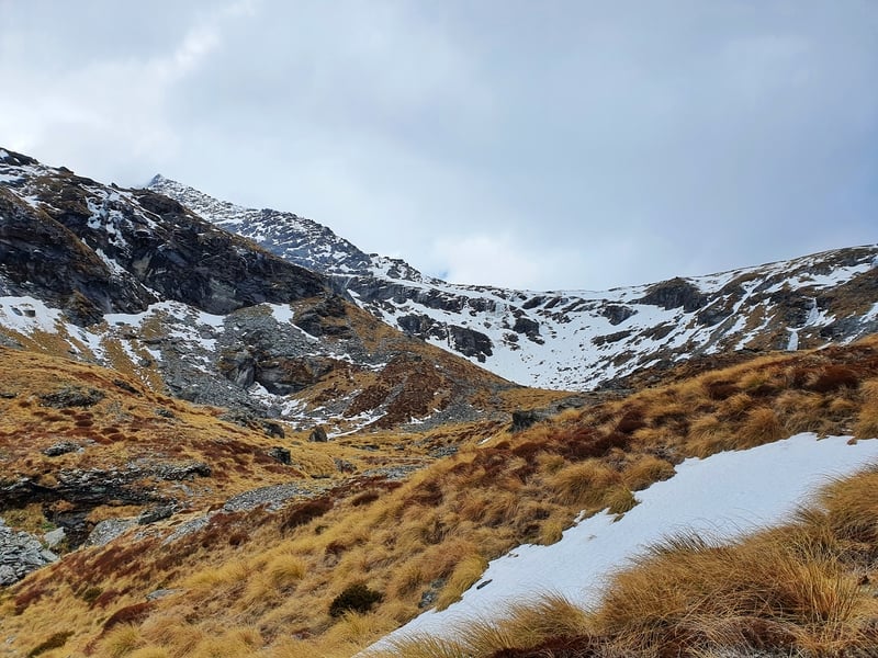
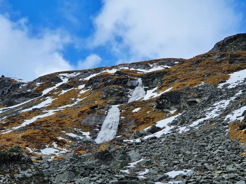
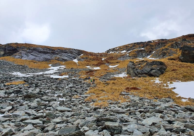
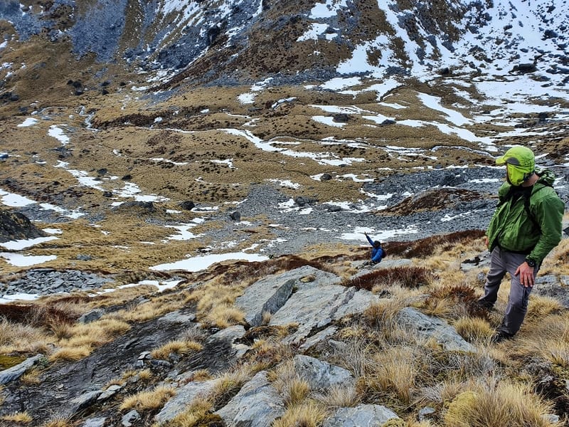
Eventually, this massive waterfall came into view and it was glorious (see above). Until we realised we were going to have to get to the top of it somehow…not climbing up the waterfall itself. The loose rock and patches of snow made all the routes look rather precarious.
After a few minutes of chat, we decided on the line we’d take, and it was quite as dodgy as we thought. But it was certainly steep.
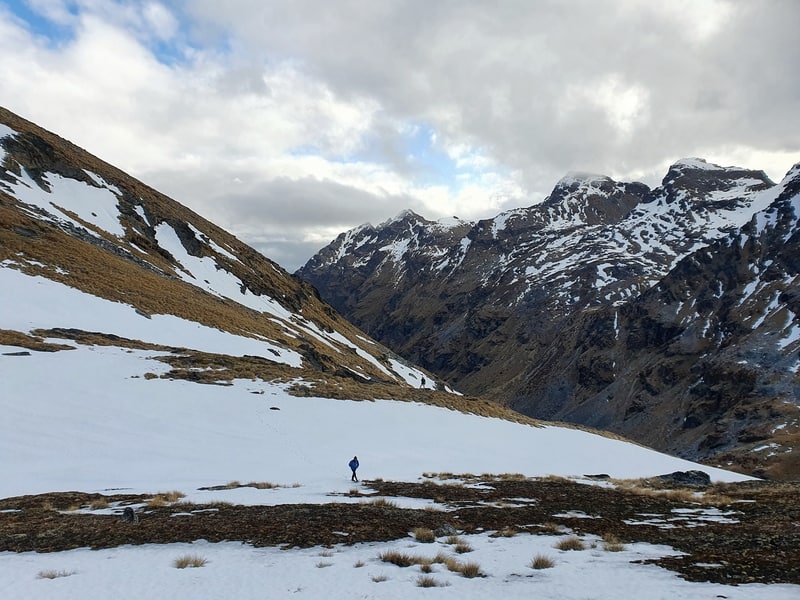
And that led us onto the snow!
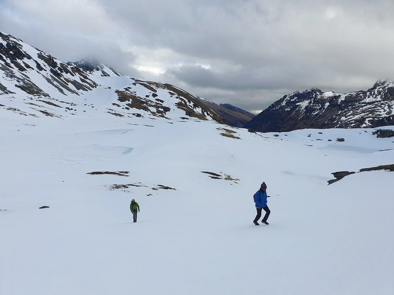
We figured we were doing okay time-wise here but weren’t sure what the snow conditions were going to be like. Especially once we realised the lakes that we could see on our map were all frozen. Fortunately, there was very little powder, with the ice layer easy and safe to walk on. We tried to stay high to avoid inadvertently walking over the lakes.
In the distance, we could see two saddles, one which we’d have to pass over to get down to Lake Alta. We thought we were walking to the right one to start, but we realised the error and corrected to the saddle on the left which was slightly higher.
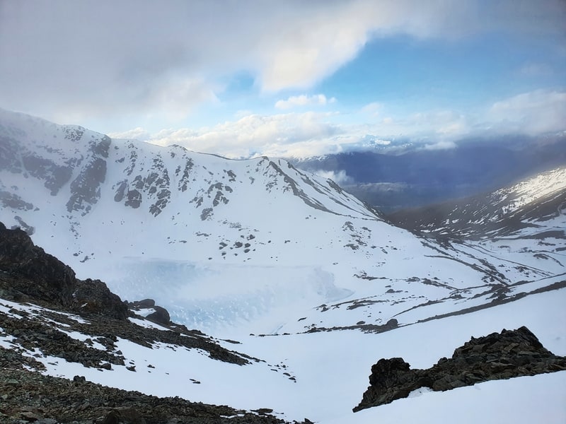
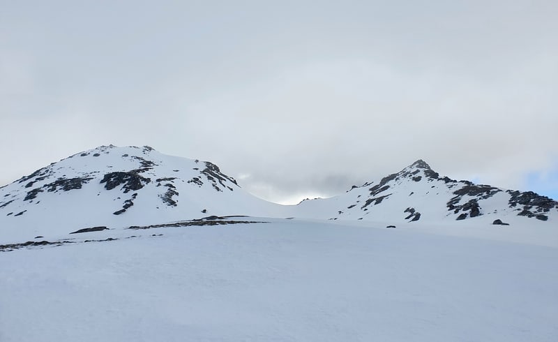
Once we got to the top of the saddle, we could finally see Lake Alta, one of the more famous lakes in Queenstown, in its frozen glory next to The Remarkables ski field.
But we also were worried as the descent was steep. And icy. With minimal patches where there was no snow, we could see that’d help us scramble down.
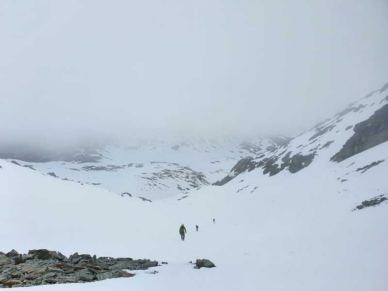
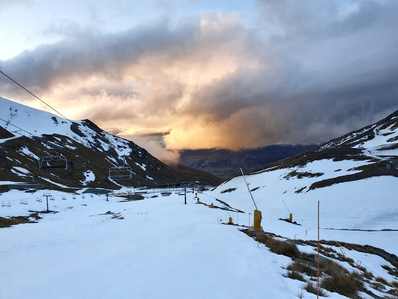
The batteries on our phones were starting to die as well, with the cold temperatures draining their battery super quick (keep this in mind). Add in the sunset in the not too distant future I think we were all a little worried. If only we had crampons, or microspikes.
The first section wasn’t so bad, a couple of the lads employed their backpacks as sleds. But that soon got out of hand with one friend not realising the next section was so steep.
He soon realised he was in trouble and ditched his bag as he tried to gain traction while sliding down the powderless surface. To us it looked like he was having fun, but once he came to a stop partway down the mountain he let us know he was scared. Like shit scared…thankfully he was okay but his cut knees and fingers are evident one week later on.
After seeing this slide we followed one another across the icy slope, kicking footholds into the ice. It took a while, but we made it do a patch with no snow and/ice which enabled us to scramble the rest of the way down to the ski field before sunset.
The hike from Wye Creek to Lake Alta is one I won’t be forgetting anytime soon that’s for sure.
Your experience will be different depending on the season, but you should ask at the DOC visitor centre in Queenstown what the conditions are like up there before you go. In the winter you’ll need proper alpine gear.
If you have any questions about hiking from Wye Creek up to Lake Alta and to the skifield carpark, let me know in the comments below or email jub@churnewzealand.com. Or if you’ve gone and done the trail, let us know your thoughts too.
p.s. Here’s a map of all the hikes documented on Chur New Zealand. You can click the icon to see brief details, as well as a link to read more about the hike (like this post).
Hey, it’s Jub here. I’m the guy behind Chur New Zealand, helping you have the best time hiking, trekking, walking…whatever you want to call it…in NZ. I’m based in Queenstown and am always out and about exploring trails, old & new. If you have any questions, reach out.
Thanks very much for sharing your experience on this route- very helpful to know ahead of time. Mine was remarkably similar (did this end of Dec 2021). Wye Creek was running pretty strong with some recent rains, though none for the prev 48 hrs. Easy to cross just picking a spot near the oversized DoC orange triangle. This is a true route, not a track: “From time to time, we found what we thought was a track, but it would soon end and we just kept moving forward.” Yep – same! There were a few hard to spot cairns along the way, but not particularly useful. Footing was quite messy, slippery throughout with plenty of places to turn an ankle if not paying attention. Scrambling up the face next to large waterfall at the head of the valley was a bit sketchy a la “The loose rock and patches of snow made all the routes look rather precarious.” Indeed, it was a bit precarious with fairly slippery tussock & grass covering the slopes. Not entirely hair-raising, but not a place to lose concentration. There was still a bit of snow on the last ~1km up and over the final hump up and over to Lake Alta, easy to keep shallow steps. Took me about 5.5 hrs to reach Lake Alta—afternoon snack time. Coulda hitchhiked from the numerous contingent at Lake Alta, but opted to cruise the 14 km down Remarks access road ~ 10% grade all downhill–first actual running of the day & almost no cars, and awesome views the entire way down– wheeeeee!. All in all, a fun adventure day out. Views were nice, but not epically awesome. I prefer more greenery at Wye Creek side of valley to endless tussock and barren rocks and jagged peaks, stunning though they are.