
The West Coast of the South Island! The part of the country many say is there favourite (if the weather is behaving). There’s of course the ocean, the small towns, and some epic terrain that make West Coast hikes/walks/tramps (whatever you want to call it) amazing.
This post will detail the West Coast hikes I’ve experienced and will continue to add to….there’s over 100, so it’s a long term project!
And just an FYI, this is the West Coast Region as per Google Maps, so all the hikes will be contained in this area (click on the map for a new window):
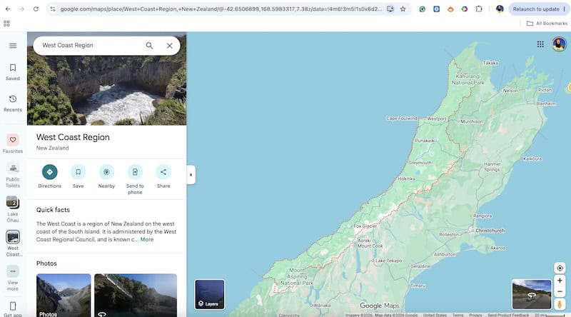
You can see all the hikes on the West Coast and beyond that I’ve written about on Chur New Zealand here:
Alright, let’s get into it.
8 WEST COAST HIKES & WALKS
1. Monro Beach Track
2. Mataketake Hut
3. Welcome Flat Hut/Copland Track
4. Roberts Point Track
5. Pororari River Track
6. Pororari-Punakaiki Loop Track
7. Paparoa Track
8. Brewster Hut
1. MONRO BEACH TRACK
- Distance: 5km return
- Elevation Gain: ~60 metres
- Difficulty: Easy
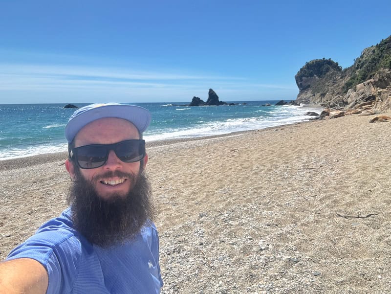
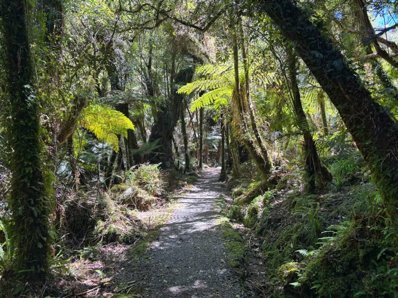
The Monro Beach Track is never going to make a top 10 most best hikes on the West Coast list, but it’s a lovely walk through well maintained tracks and beautiful forest…that leads to a beach which, pending weather, is beautiful (watchout for the sandflies).
It’s a flat walk, and if you’ve got a long driving day along the West Coast, this is a great way to break up the drive to stretch the legs. It’s likely you won’t see penguins, but you never know.
You don’t need to go out of your way to do this West Coast track, but if it works, make it happen.
2. MATAKETAKE HUT


- Distance: 32 to 34km
- Elevation Gain: 1400 – 1500 metres
- Difficulty: Hard
Mataketake Hut was opened in 2021 thanks to some money put aside by Andy Dennis after he had passed away, to make his dream come true (legend). Starting from the carpark, you can take two routes to reach the hut, essentially making it a loop, or you can make it an out and back.
The out and back route following the Mica Mine Tops Route is popular, as you get to spend more time above the tree line which is always a good thing.
While the ambitious could do this as a day hike, make the Mataketake Hut adventure a 2 or 3 day hike (there’s two other huts you can stay in if two nights at the same hut sounds crazy). It’s a magical spot, that at the time of writing hasn’t hit peak popularity (you do need to book the hut online).
And who wouldn’t want to relax at a hut with it’s own library…
3. COPLAND TRACK TO WELCOME FLAT HUT
- Distance: ~34km return
- Elevation Gain: ~1000 metres
- Difficulty: Medium
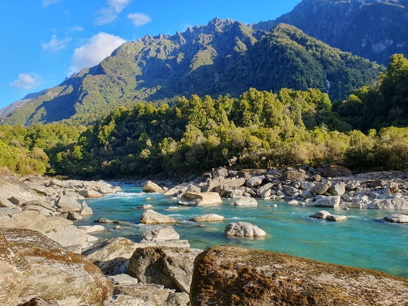
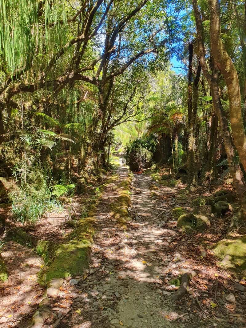
The Copland Track leads to the popular Welcome Flat Hut that draws people to the hut because of the hot pools a few minutes from the hut. The track itself is beautiful as it first follows the Karangarua River then onto the Copland River. On a great day you may want a dip in the river, but in bad weather they’re both dangerous.
At the hut I’ve found it’s a community vibe, aided by the hot pools. But if you’re a connoisseur of hot pools, don’t get your expectations too high…they’re not world class but a novelty in the middle of nature where you’ve worked hard to reach.
This is one of the better overnight hikes that’s suitable for people as there first longer overnight hike given the gradient and condition of the track. This is also one of the overnight West Coast hikes you can do this one year round which is also great.
4. ROBERTS POINT TRACK

- Distance: 11km return
- Elevation Gain: ~550 metres
- Difficulty: Medium
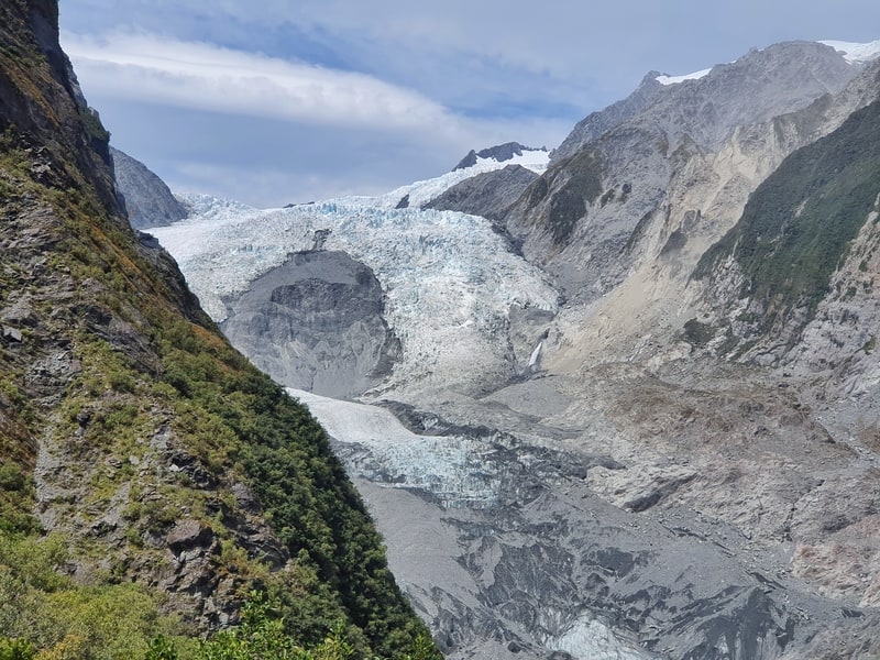
This is an awesome hike. The nearby Alex Knob Track tends to get more chat, but the weather needs to be perfect for that route. The Roberts Point Track is full of variety both in terrain and scenery which is what I loved about it so much. Even the bridges were fun.
The view of the glacier is just enough to make you appreciate what’s left of it. This is a great hike to spend half a day on. But if it’s wet, take care as so me of the spots are slippery.
5. PORORARI RIVER TRACK
- Distance: 7 to 7.5km
- Elevation Gain: Less than 100 metres
- Difficulty: Easy
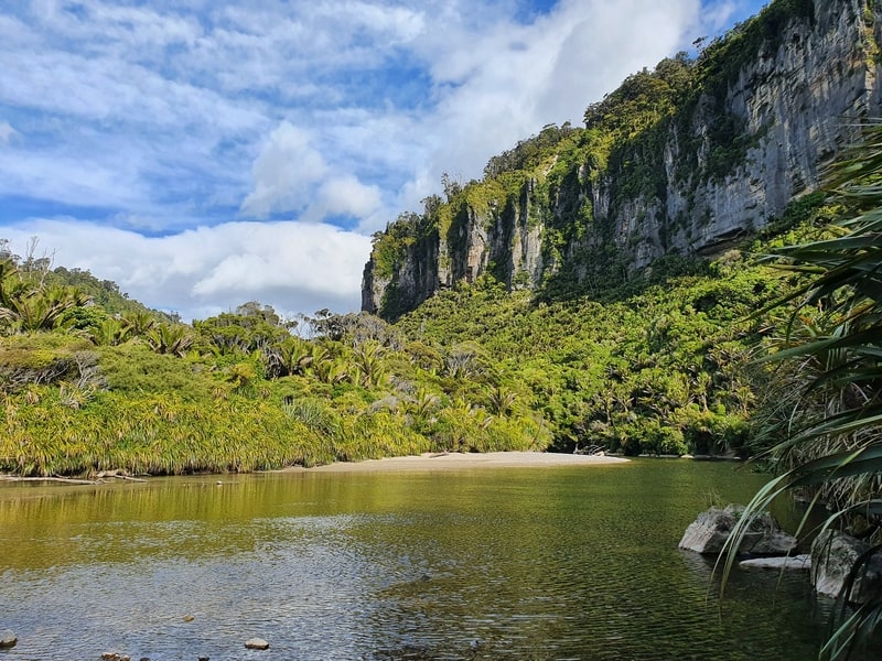
If you’re spending a night in Punakaiki, you might have found your time at the famous Pancake Rocks went quicker than you expected. Therefore if you’ve got time to kill, the Pororari River Track is a lovely way to spend a couple of hours.
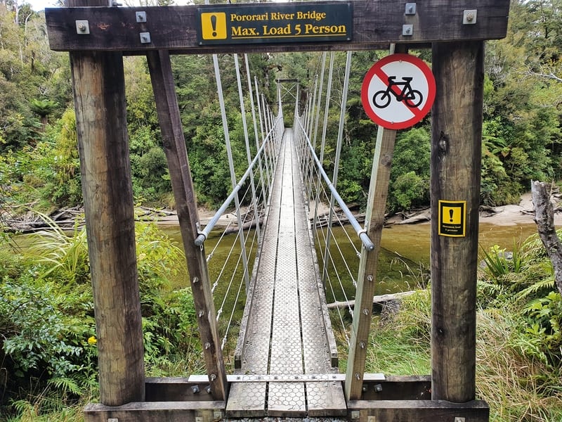
The river views from the start are pretty unique, and you get to experience a good variety of the bush that to me feels like Jurassic Park. Make sure you get to the suspension bridge and use that as your turnaround point.
6. PORORARI-PUNAKAIKI LOOP TRACK
- Distance: 11 – 12 km
- Elevation Gain: ~220 metres
- Difficulty: Easy to medium
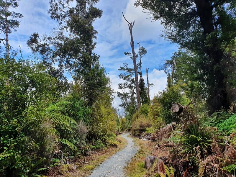
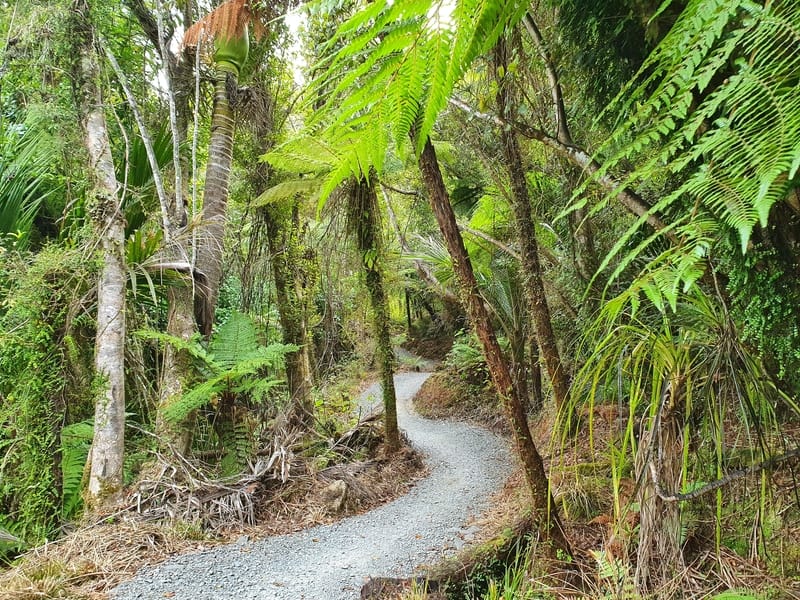
The Pororari Punakaiki Loop Track includes the Pororari River Track for the first few kilometres, before you veer off onto the track the mountain bikers take to finish the Paparoa Track (below). Once you take the turnoff the t
track isn’t quite as exciting in my opinion (beautiful etc, but still).
But if you’re after a loop then give it a whirl, you’ll just need to take a walk along road to get back to your starting point.
7. PAPAROA TRACK
- Distance: 52 – 55km
- Elevation Gain: 1500 – 1700 metres
- Difficulty: Hard
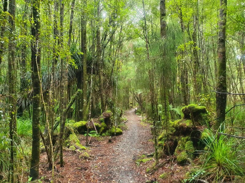
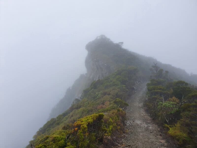
The Paparoa Track is one of the newer Great Walks, and gives you a good taste of hiking in Paparoa National Park. You’ll be sharing the track with bikers, but that’s never been a burden from what I gather.
I’ve not done this in good weather yet, but the ridgeline looks like it has the potential to be awesome. The track is well graded throughout, and you get to go through rainforest, subalpine, and alpine terrain. A pretty good mix!
You’ll want to plan your transport before starting this, but this is a Great Walk that’s manageable for most.
8. BREWSTER HUT
- Distance: 5.6km return to the hut
- Elevation Gain: 965 metres
- Difficulty: Hard
Note: You can add distance and elevation gain to these numbers if you continue on to the glaciers and/or Mount Armstrong.
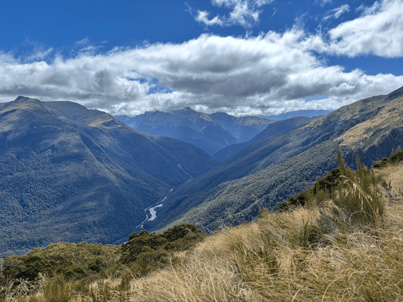
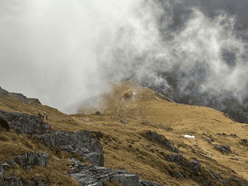
The hike to Brewster Hut sneaks into the West Coast region on the map, and boy, this is one of the most popular ones in the area. You’ll need to cross the Haast River to start with (hopefully it’s safe to cross), then it’s more or less all up and more up to get to the alpine hut.
The track is easy to follow and it’s not as much climbing compared to other hikes in Mount Aspiring National Park. But it’s still up.
Well worth it though, as soon as you get above the treeline, it’s magic. Once you get to the hut, you’ll need to evaluate whether it’s safe to continue to the glacier and/or Mount Armstrong. There’s no shortage of rescues beyond the hut, don’t become a statistic just to get the photo.
But it is phenomenal at the glacier, so if all things make it clear that you won’t get caught out, enjoy!
And there you go, a post about some of the West Coast hikes and walks you can find along this magnificent piece of the country.
If you’ve got any questions about them (or let me know the ones I need to do ASAP), email me jub@churnewzealand.com or let me know in the comments below.
Chur,
Jub
p.s. Here’s a map of all the walks and hikes documented on Chur New Zealand. You can click the icon to see brief details, as well as a link to read more about the hike (like this post).
Hey, it’s Jub here. I’m the guy behind Chur New Zealand, helping you have the best time hiking, trekking, walking…whatever you want to call it…in NZ. I’m based in Queenstown and am always out and about exploring trails, old & new. If you have any questions, reach out.