The hike up to Mount Dewar from Skippers Saddle is a good out and back track that’s 5.2km long.
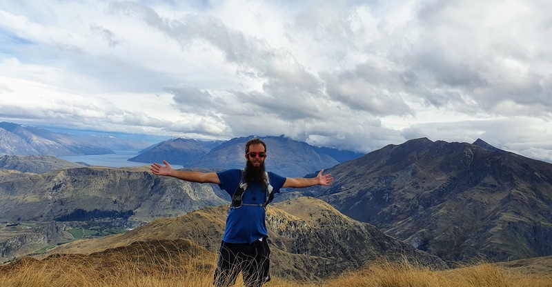
You get great views throughout the hike and are rewarded with epic panoramic views at the summit as you can see in the video below.
Walking to the summit of Mount Dewar summit is also a part of two longer tracks:
This post will stick to the walk to Mount Dewar and back. Let’s get into this Queenstown walk that’s underappreciated.
TABLE OF CONTENTS
1. Mount Dewar Track Details & FAQ
2. Mount Dewar Map
3. How To Get To The Trailhead
4. My Mount Dewar Experience
1. MOUNT DEWAR TRACK DETAILS & FAQ
How hard is the walk to Mount Dewar?
Easy to medium. It’s a grunty little track. It’s not technical as you follow a 4WD track, but the elevation gain will make those who haven’t been walking on hills much recently work hard.
How far is the hike to the summit?
It’s 2.6km from the Skippers Saddle car park to the trig at the summit of Mount Dewar making for a 5.2km return trip.
How much elevation is there to the summit of Mount Dewar?
The Mount Dewar summit is 1310 metres above sea level. With the track starting ~946 metres above sea level. That makes for about 364 metres of elevation gain as there’s essentially no descent on the hike to Mount Dewar.
How long does the Mount Dewar Track take?
~2 hours.
At 5.2km return, the walk to Mount Dewar isn’t long. But the 364 metres of incline is going to make the walk a longer mission than you’d expect.
We were hiking at a good pace and took about 35 minutes to get to the summit. Add in 30 minutes for the descent and it’s just over an hour of walking.
For most, I’d put aside about 2 hours for the total adventure, which includes a good amount of time at the summit.
2. MOUNT DEWAR MAP
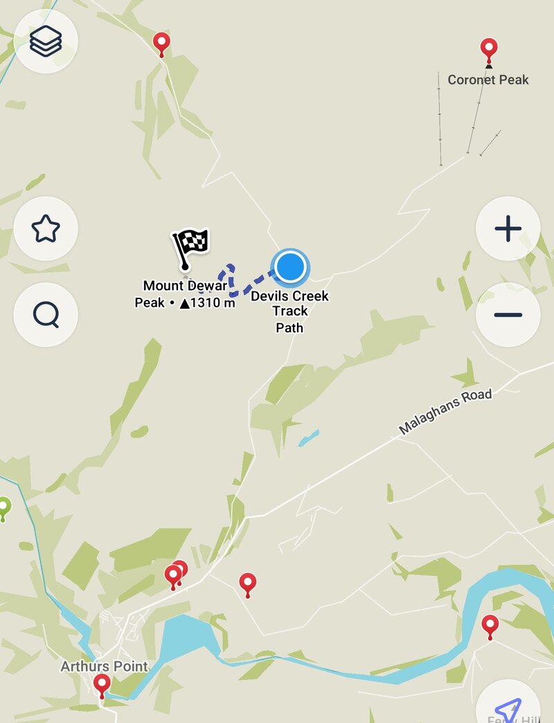
You won’t find the Mount Dewar Track on Google Maps, but it is on Maps.me and the TopoMap.co.nz.
3. HOW TO GET TO THE TRAILHEAD
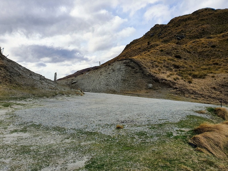
The car park (seen above) for the Mount Dewar Track is here, right by the trailhead at Skippers Saddle.
You can drive there which takes about 20 minutes from Queenstown. The 13km journey does involve going about 5km up the Coronet Peak Road.
Otherwise, you can get the bus to Arthurs Point (goes at least once an hour). Get off at the last stop by Cargo (grab a beer here afterward) and then either hike the 6km to the start or hitchhike up the hill from the Coronet Peak Road turnoff.
RELATED POST: HOW TO GET AROUND QUEENSTOWN
4. MY MOUNT DEWAR EXPERIENCE
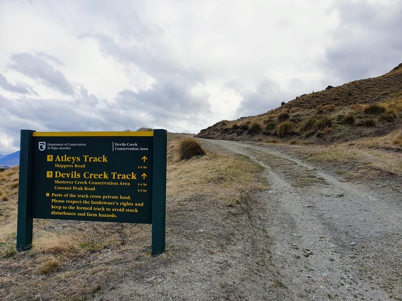
From the car park, you’ll see the big green DOC sign. The sign doesn’t mention Mt Dewar, but you’ll be following the arrow for the Atleys and Devils Creek tracks.
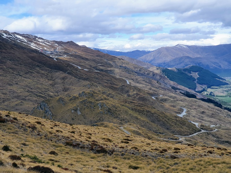
You’re going to be following a 4WD track the whole way (except the last short section to the summit).
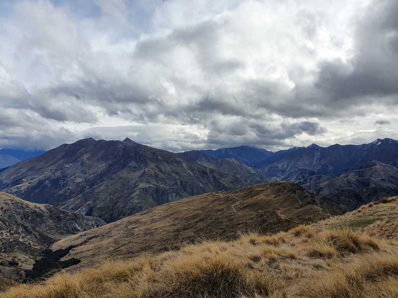
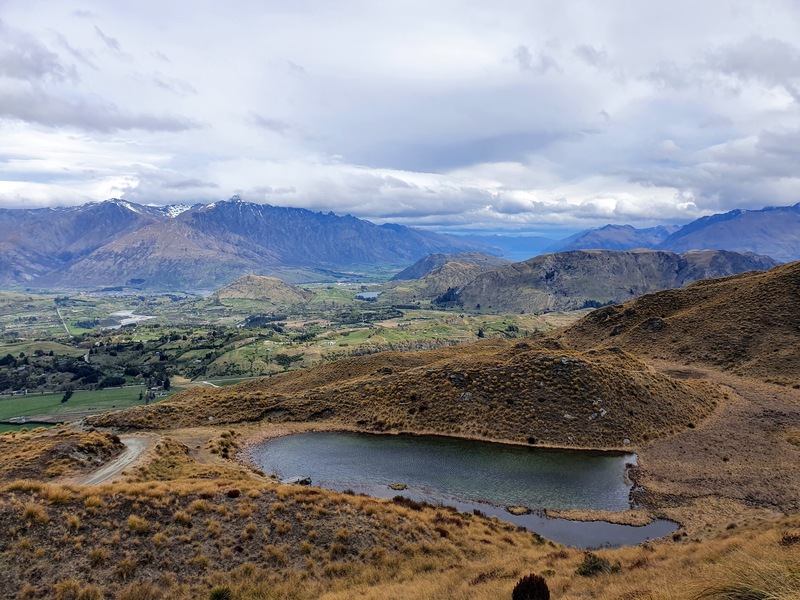
The track has a steady incline pretty much the whole way to the summit of Mt Dewar, broken up with a couple of short flat sections. There’s not much to say about the walk really, but the views you get along the way are awesome.
When you get close to the summit, you’ll see the track splits off with a green sign saying ‘track’. You can ignore this, for now. Head right where you can see the towers/poles etc. where the summit is.
You’ll see a gate eventually, turn right here and follow that for the last 30 metes or so to the tri.
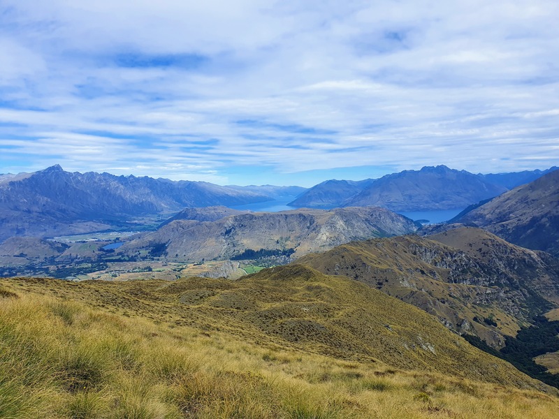
Once you reach the trig, you’ve got panoramic views which are awesome. There are not a whole lot of flat areas to hang out, but on a nice summer’s day, you’ll be able to find an area to hang out.
Then it’s time to head back the way you came as you continue to enjoy the views.
If you’re heading up to Coronet Peak for a nosey, consider stopping off at Skippers Saddle where you can hike up to Mt Dewar. The views are awesome, and it’s a little less admin involved compared to walking to the top of Coronet Peak.

Hey, it’s Jub here. I’m the guy behind Chur New Zealand, helping you have the best time hiking, trekking, walking…whatever you want to call it…in NZ. I’m based in Queenstown and am always out and about exploring trails, old & new. If you have any questions, reach out.