The Grandview Mountain Track is an 18km out and back hike close to Lake Hawea.
It’s easy to access by car but doesn’t get much love because of popular nearby hikes like Roys Peak and Isthmus Peak Hike.
But if you’re spending a longer period of time in the Lake Hawea/Wanaka region and want to get on a less touristy trail, the Grandview Mountain Track is amazing. In fairness, most of the hikes around Lake Hawea, other than Isthmus are relatively quiet.
This post will give you all the details about hiking the Grandview Mountain Track.
Note: This track closes in springtime for lambing. Check DOC’s websites for exact closure dates.
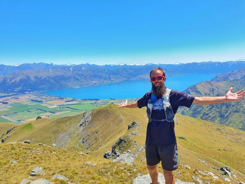
Proof of reaching the Grandview Mountain Track summit.
TABLE OF CONTENTS
1. Details About The Grandview Mountain Track
2. Grandview Mountain Track Map
3. How To Get To The Grandview Mountain Track Car Park
4. My Grandview Mountain Track Experience
1. DETAILS ABOUT THE GRANDVIEW MOUNTAIN TRACK
What’s the distance of the Grandview Mountain Track?
The DOC sign at the trailhead says it’s an 18km return trip. My Strava data came in with 17.88km, so we’ll go with 18km, give or take (Google Maps is about the same too).
What is the total elevation gain of the track?
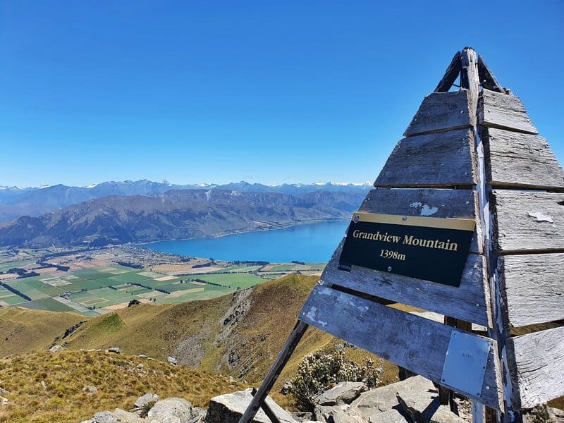
The sign on the trig at the Grandview Mountain Track summit says you’re at 1,398 metres above sea level. Given we start at about 450 metres of elevation gain, that’s about 950 metres in total. At in a few small undulations and it’s going to be right around 1000 metres elevation gain for the return trip.
How long does the hike take?
it took me 3 hours and 50 minutes return. This includes about 10 minutes at the trig, otherwise my breaks were very minimal.
The DOC sign says it takes 2-3 hours to reach the summit which feels about right (2 hours is super quick, and it may take you longer than 3 hours). For most people, you should plan to take 4-6 hours to complete the Grandview Mountain Track.
Is it hard?
I’ll put it in the easy to medium category. It’s the distance that’ll be the toughest part on a hot day.
GPX File: Available here for download
2. GRANDVIEW MOUNTAIN TRACK MAP
The map above is the GPX file (downloadable link above) uploaded on a topo map.
The whole route is available on Google Maps, here and you can see the track on Maps.me as well.
The track is easy to follow so unless you’re going in winter (with the appropriate gear) you won’t have any issues finding your way.
3. HOW TO GET TO THE GRANDVIEW MOUNTAIN TRACK CAR PARK
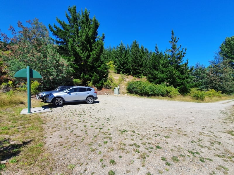
There’s no public transport in Lake Hawea, and the trailhead is about 6km from the Lake Hawea shops making a walk to the trailhead quite long.
So that leaves you with driving to the car park next to the trailhead here. You’ll need to open two gates to get to the car park, make sure to close the gates behind you 🙂
The drive time to the trail head from Lake Hawea hotel and Wanaka City Centre is about 7km/9 minutes and 16km/~20 minutes respectively.
4. MY GRANDVIEW MOUNTAIN TRACK EXPERIENCE
After going up the Breast Hill Track the day before, I was looking forward to seeing how the two routes compared.
It’s safe to say that the Grandview Mountain Track is easier with it being less technical and a gentler ascent.
From the car park, the walk starts off on a very gentle incline for the first 1km. It feels flat.
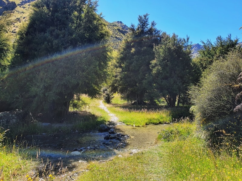
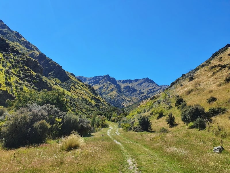
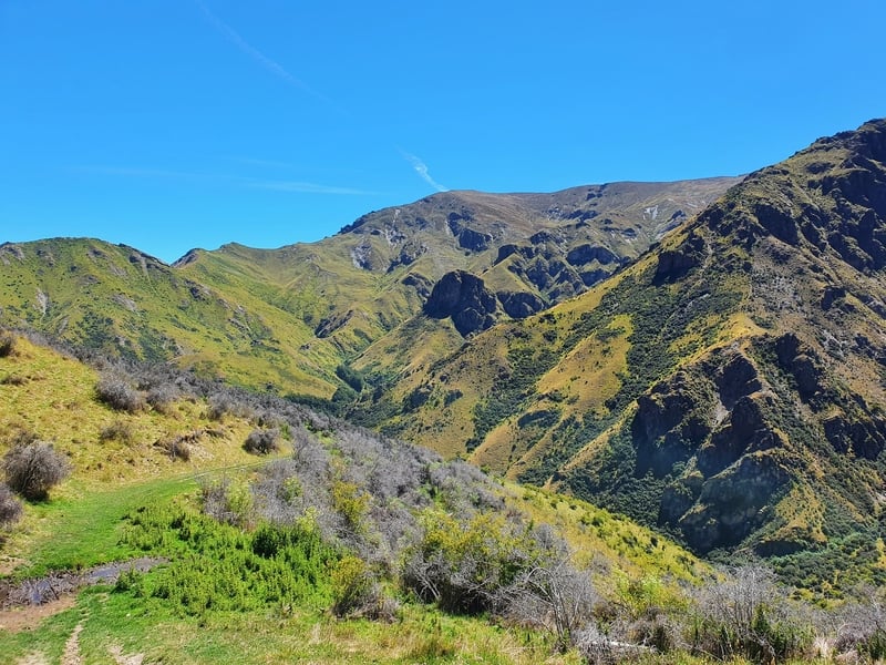
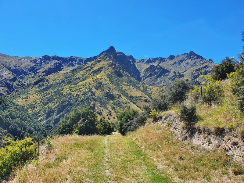
The track is easy to follow, and you’ll need to hop over the creek a few times. You can usually do so without getting your shoes wet with some nimble rock hopping (maybe not during winter/recent rain).
This first kilometre has essentially taken you into a valley. From there, you’ll then begin to veer right following the mountain up to the first viewpoint.
I liked this as, although Lake Hawea is stunning, it was nice to be focused on looking at the shapes of the mountains.
The track does get steeper after the first kilometre, but the track (4WD’s can go up it), doesn’t go straight up. It tends to follow what I assume is the most gentle route possible up the mountain. This means no switchbacks, yay!
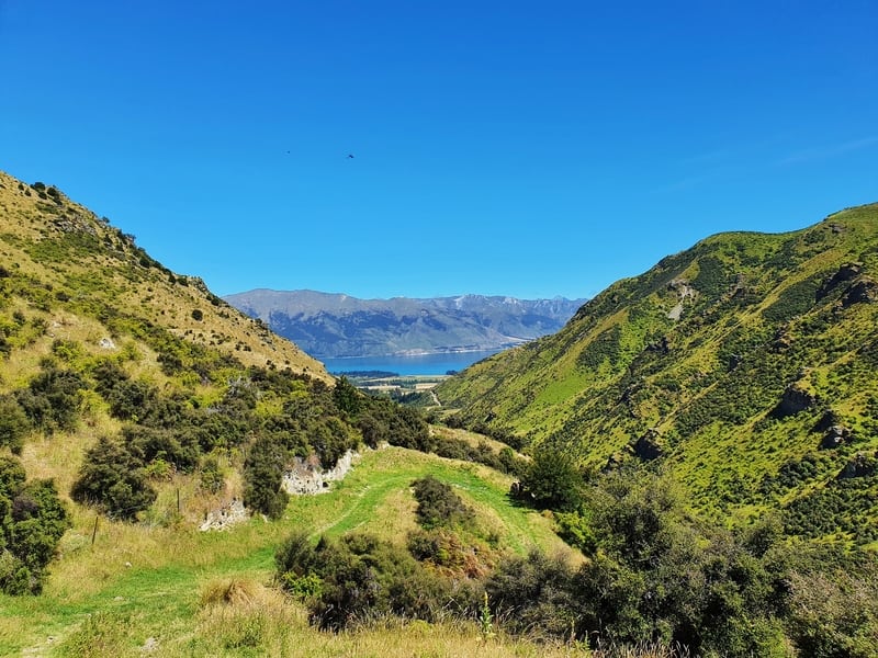
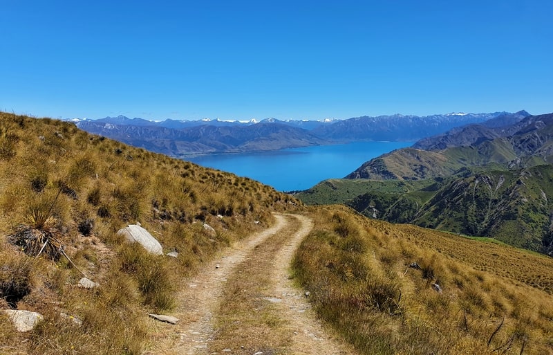
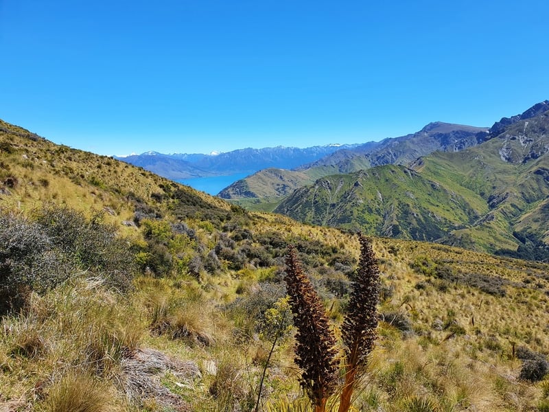
You’ll soon get some cool views of the mountains overlooking the valley you’ve ascended from. If you’re like me, you’ll try to find the summit we are aiming for in the distance. It’s further south than I realised, and it took me a long time to see the trig sparkle in the distance.
There’s a couple of orange markers on the track, but they’re not really needed (unless it’s snowy)…it’s super easy to follow the track. There’s a couple of times where there’s a fork in the road, but one fork will be marked as private land you can’t access. So there are no worries there.
After 6.4km, you’ll reach a more formal viewpoint near a gate. At the trailhead you’ll have seen a sign mentioning the Grandview Creek Track…this is the end of that section. This is a good spot to stop before you continue on for another 2.5km or so to the summit.
From here on, it’s the steepest section of the track. Yes, it’s worth continuing to the summit, the views are much more panoramic.
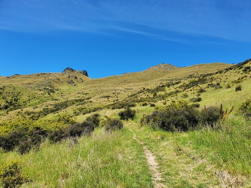
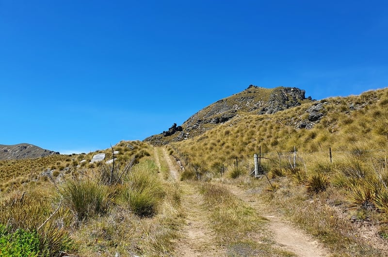
You’ll then see the trig at the top, and what looks like a daunting climb straight up to the trig. Fortunately, the track gets to the summit view the other side of the peak with the final 500 metres of the walk on a less maintained track (super easy to follow).
Once you get to the top, enjoy! You deserve it (hopefully it’s not crazy windy).
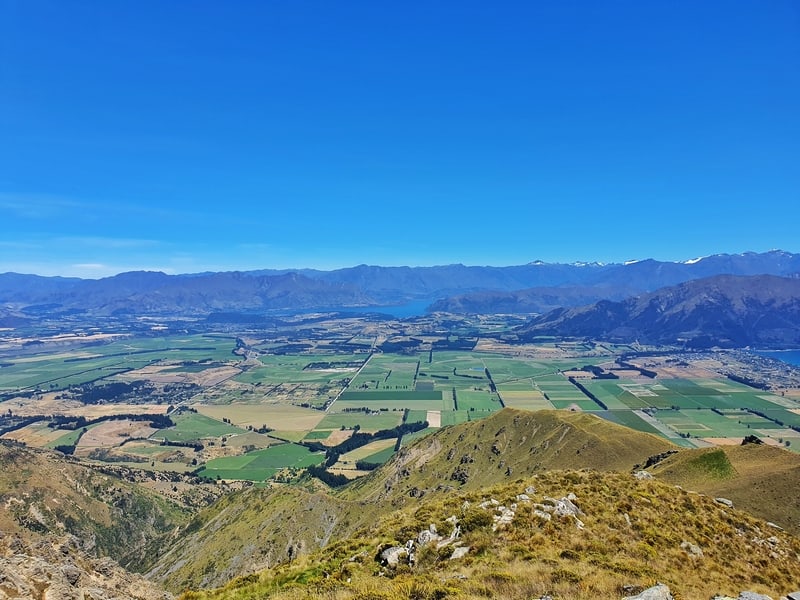
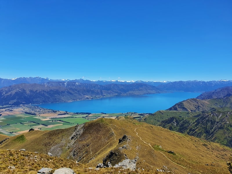
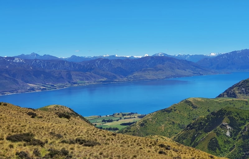
You’ll have amazing views (hopefully) over Lake Hawea, the surrounding fields which are gorgeously flat, and lots of mountains to eye up. Maybe you’ve been up to them all, or you’ve now got more ideas to research when you get home?
From the summit (1398 metres above sea level), you’ll see you can continue on and make your walk a lot longer if you wanted (you can even cross the mountain ridge to Breast Hill), but for most of you (and me), it’s time to head back the way we came.
The descent is cruisey, as the track is in good condition. If anything, be wary of bikes coming down the mountain behind you who can build up a lot of speed.
If you have any questions or have done the Grandview Mountain Track after reading this post, I’d love to hear from you. The same goes with any of these awesome hikes and walks on the South Island.
Leave a comment below or email jub@churnewzealand.com.
p.s. you can find all the hikes I’ve documented in this map (clicking on the icons will provide more info):

Hey, it’s Jub here. I’m the guy behind Chur New Zealand, helping you have the best time hiking, trekking, walking…whatever you want to call it…in NZ. I’m based in Queenstown and am always out and about exploring trails, old & new. If you have any questions, reach out.

Absolute fabulous walk with spectacular scenery , great blog
Hey Andrew,
The Grandview Tracks a goodie, will be back on it this summer!
Cheers, Jub