
The Breast Hill Track is a beast of a track. From the trailhead to Pakituhi Hut it’s only 4.2km long, but the elevation gain is close to 1000 metres. If you’re not familiar with elevation, it’s steep!
And you can always extend the hike to the actual Breast Hill if you’ve got any juice left in the legs.
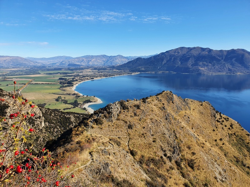
Trust me, the views are epic! And Pakituhi Hut is in a beautiful spot.
You can do the Breast Hill Track in a few different ways too. As an out and back trip (overnight or day hike), part of the Te Araroa Trail, or as part of a bigger circuit connecting to places like the Grandview Mountain Track.
This post will give you all the details you need to know about the Breast Hill Track.
TABLE OF CONTENTS
1. Breast Hill Track Details
2. Breast Hill Track Map
3. How To Get To There
4. My Experience Hiking To The Breast Hill Track
5. Photos From Areas Beyond The Hut
1. BREAST HILL TRACK DETAILS
QUICK DETAILS:
- Distance: ~8.5km return to the hut, 14km return including Breast Hill
- Elevation Gain: 950 – 1000 metres to the hut
- Difficulty: Hard
- Download the GPX file here
How hard is the Breast Hill Track?
Hard.
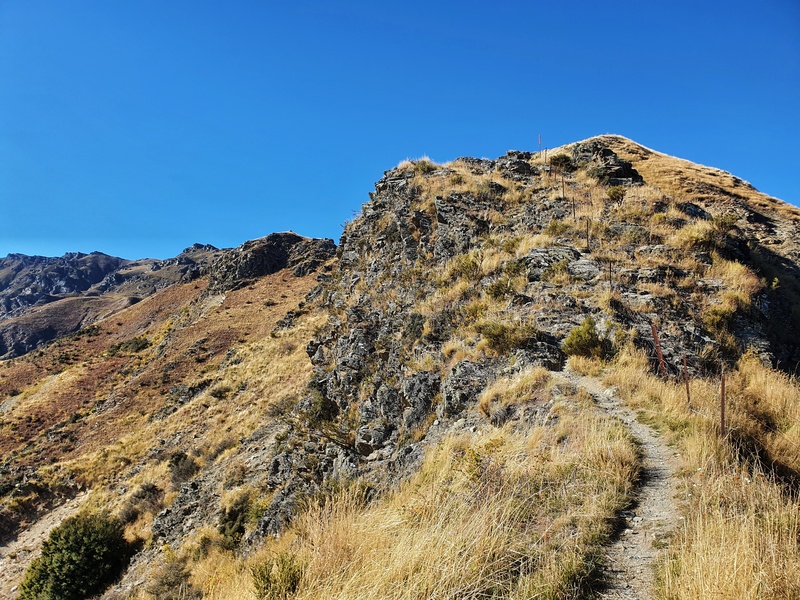
It’s certainly not easy given the incline, but it’s a rewarding hike. As long as you give yourself ample time to get to the top, it’s so worth it (and have a good weather window). There are some technical sections where if you’re afraid of heights you might not be loving life.
It’s also important to consider the descent which some may find trickier, especially if it’s wet. And if your knees aren’t the greatest, they won’t love coming back down.
On the DOC sign towards the start of the track, it mentions not to attempt this track in winter. I’d be happy doing it in winter provided the weather is decent and the snow level is what I deem comfortable and safe. But if you’re an inexperienced hiker, you should heed this advice.
How long is the Breast Hill Track?
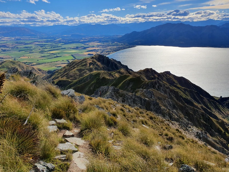
My Strava record measured 4.20km from the trailhead to Pakituhi Hut (the DOC site says 4km), making for a 8-9km return hike.
You’ll want to do some side trips most likely, at least to Breast Hill which is about a 5.5km return hike from the hut. You can comfortably do this in a day with an early start, but try and stay there, it’s one of the best overnight hikes near Wanaka.
What is the elevation gain of the Breast Hill Track?
We’ll start with the Breast Hill Track elevation profile:
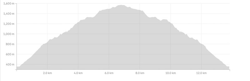
There’s a sign at the trailhead that mentions there’s 950 metres of climbing up to the hut, which is about right as my Strava recorded 980 meters.
There are only a couple of sections where you descend on the way to the hut, so there’s no real break until you get to the top.
If you’re continuing on to Breast Hill summit, you’ve still got a but under 300 metres of elevation to go.
What’s Pakutuhi Hut like?
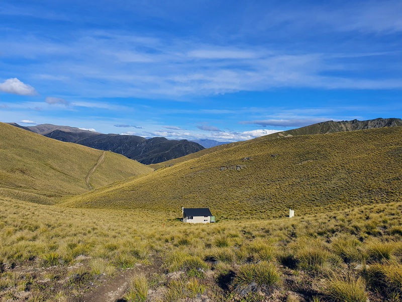
Awesome! This hut doesn’t have a fire and is a simple 8 bunk hut, but sits in a little valley and manages to get direct sunlight most of the day. It’s surprisingly warm in my experience. It’s a great hut to base yourself from if you want to explore the area for a few days.
Your Backcountry Hut Pass is valid at Pakituhi Hut, or you can buy hut tickets at the following prices:
- Adult (18+ years): $15/night
- Youth (5–17 years): $7.50/night
- Child/Infant (0–4 years): free
There’s no cell phone reception at the hut, but if you head back up the track for a couple of hundred metres you’re back in range.
How long does the hike take?
This is going to vary a lot given the steep terrain. The DOC site mentions 3-4 hours which is on the generous side I feel. It took me exactly 90 minutes to reach the hut with my 30 litre overnight pack, I was feeling fit and hustling.
I suspect most people will take between 2 and 3 hours to reach the hut, including breaks. Coming back down will be slightly faster for most people.
2. BREAST HILL TRACK MAP
*clicking on the image below opens the map in a new window.
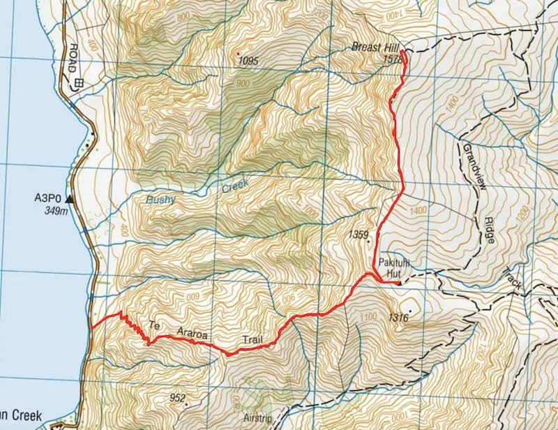
The map above shows the GPX file of the route to Pakituhi Hut and then to Breast Hill. The trail is well marked though, so you don’t need a topo map necessarily (I wrote about my favourite).
The trail can be found on Maps.me which is an offline map app great for hiking.
3. HOW TO GET TO THE TRAILHEAD
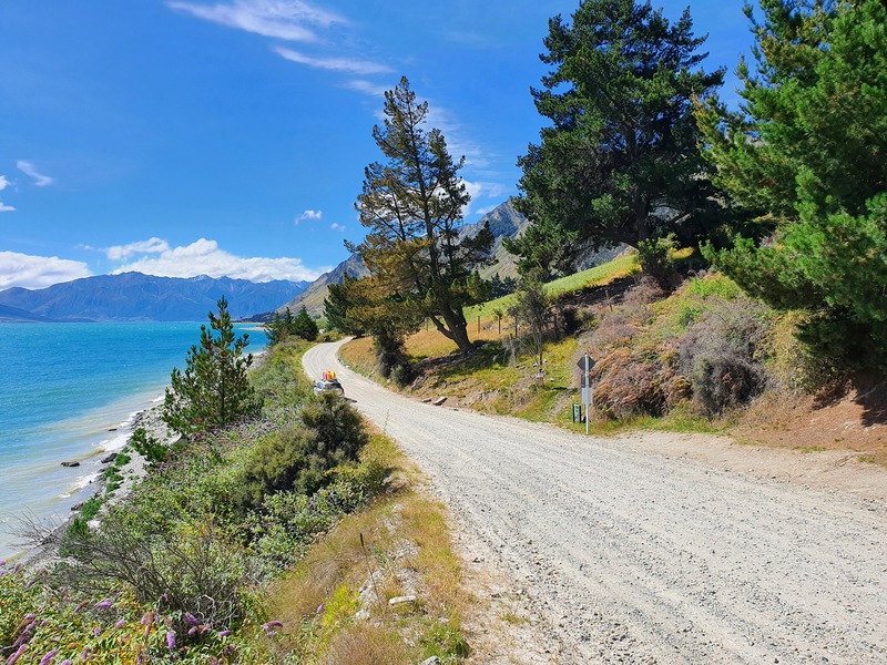
The Breast Hill Track trailhead is here on the Timaru Creek Road. The easiest way to get there is by car, parking next to the road. It’s a 23 minute and 23km drive from Wanaka, or a 10 minute drive from the Lake Hawea township.
If you’re staying in Lake Hawea, it’s a nice walk/bike to the trailhead following the trails along the lake.
4. MY EXPERIENCE HIKING THE BREAST HLL TRACK
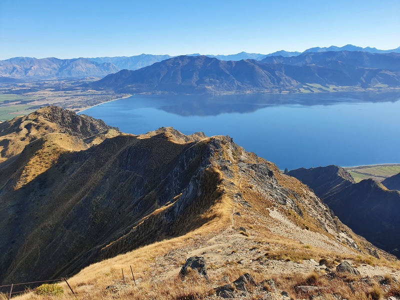
I’ve been up the Breast Hill Track a few times now and love the challenge it brings. It’s close between this and Corner Peak as to which is my favourite Lake Hawea hike.
The trailhead is very low key with no massive signs or formal carpark. Once you’re on the trail though, there’s no low key start as the incline goes up from the get go on single track.
It’s a funny start as you know you’ll be going up most of the way, but you can’t see Breast Hill from the start (well I couldn’t see it). For the first 300 metres you’re going up in a straight line before you hit a series of switchbacks which quickly see you gain elevation.
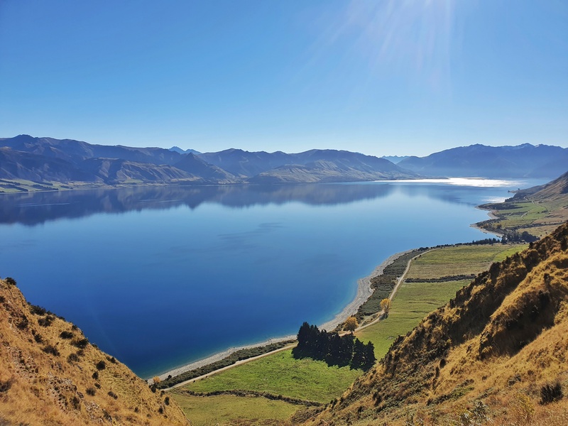
There are some spots on the switchbacks where the trail erodes a bit, but it’s not ankle breaking territory for the most of it…these go on for about 1km. You get some sweet views throughout of the lake and surrounding mountains including Isthmus Peak, love it.
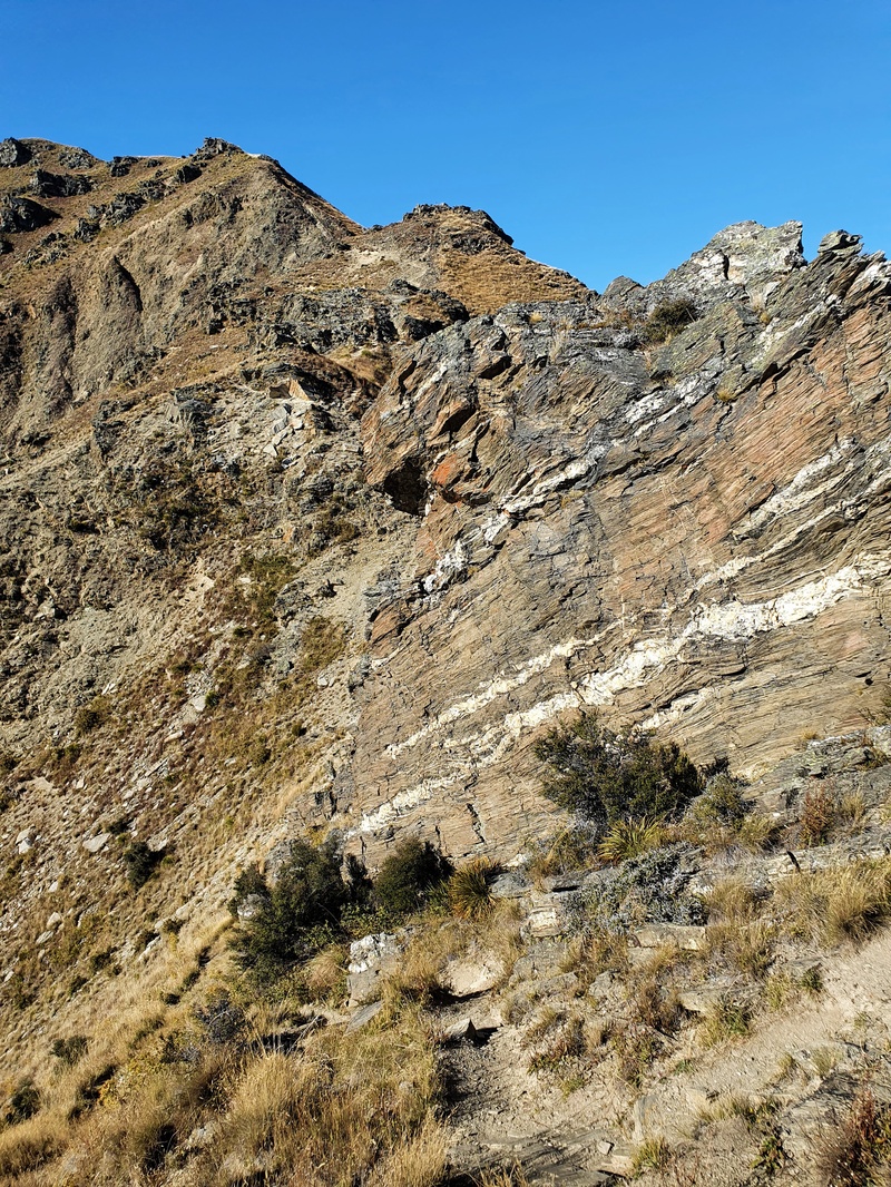
After the switchbacks the terrain gets more rocky and you might find yourself looking for the orange route markers in a couple of spots. It’s a nifty section again and the views you’ll get are amazing in all directions.
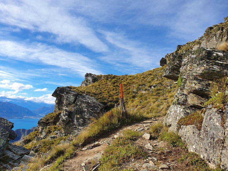
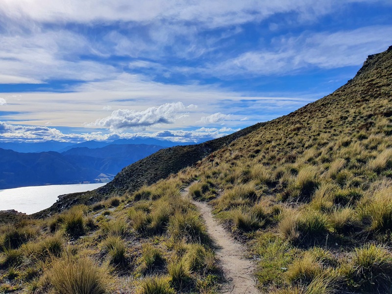
After the 2nd kilometre you might feel like the track is flattening out a little bit. That’s true, and there’s some moments where you hop down a little section and/or walk a short flattish part of trail, but overall you’re still gaining elevation quickly.
Then then last kilometre until you get to the ridgeline is a good amount of climbing, this time the rocks can make some sections quite tricky to figure out the best line to take…and would be way harder with any ice or moisture on them.
Once you cross the stile over the fence you have a short section of incline before you sidle for a little bit. At this point you’re only a few hundred metres from Pakituhi Hut which you can’t see until the very end.
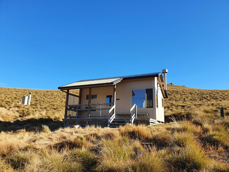
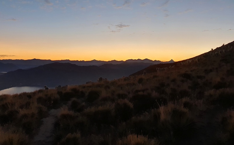
You’ll see the sign pointing you towards Breast Hill, but I recommend heading to the hut first for a wee break and refresh before contemplating sidetrips. Or just chillout while waiting for the sunset.
At the hut do write your details in the intention book, even if you’re there on a day hike.
If you’re continuing on to Breast Hill, you’ll head back the way you came and you’ll see the obvious turnoff that is signposted.
The first part of the climb after the turn off is the steepest with about 130 metres of elevation gain in 500 metres of distance. From there the trail is still uphill but not nearly at the steepness you’ve just experienced (and have experienced).
The trail is easy to follow and you get some cool ridgeline views along here, plenty of opportunities for epic photos. The summit isn’t some grandstand finish, but once you’re there, soak it all in before heading back the way you came.
And the way back down…
Hopefully you’ve got blue skies and no ice around as the track looks like it’d be super tricky to come down at some points if it rains. I had awesome weather and find the descent pretty crusiey…but there’s a certainly a couple of points where you’ve got to focus on where your feet are going and which line to take.
In theory you should be a bit quicker coming down, but I wouldn’t be surprised if some people took longer hiking down than up (depending on breaks etc).
I love the grind of going up steep inclines for a few kilometres, and the best part about this incline is you aren’t even in the bushline so you get views from the get go of the beautiful Lake Hawea.
Then once you’re at the top you’ve got Pakituhi Hut which is usually quite warm after receiving the sun most of the day you’ve got options like a few different ridgelines to explore. What’s not to love about the Breast Hill Track as a day hike or overnight trip?
If you’ve got any questions about the Breast Hill Track, drop a comment below or email jub@churnewzealand.com.
Chur,
Jub
p.s. Here’s a map of all the hikes documented on Chur New Zealand. You can click the icon to see brief details, as well as a link to read more about the hike (like this post).
p.p.s. For the super keen, you could do the double Breast Hill Track and Mount Maude in a day. Your poor quads won’t like that.
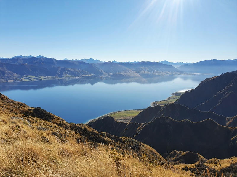
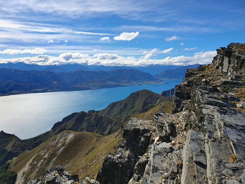
5. PHOTOS FROM AROUND THE AREA BEYOND THE HUT
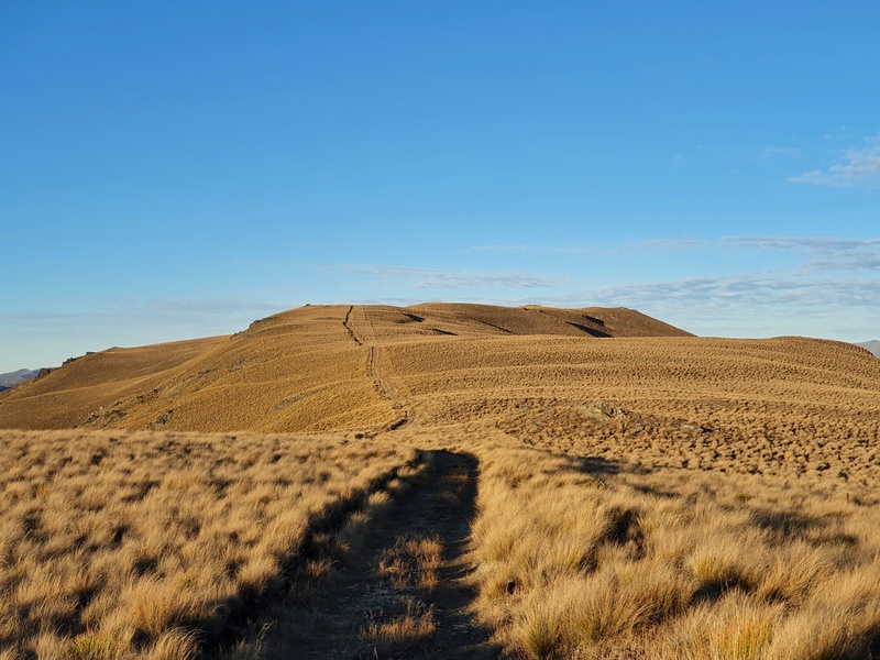
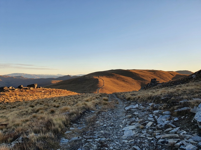
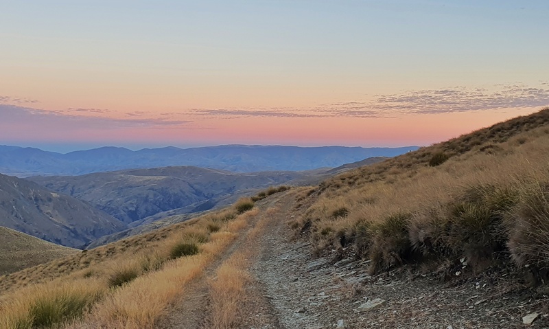
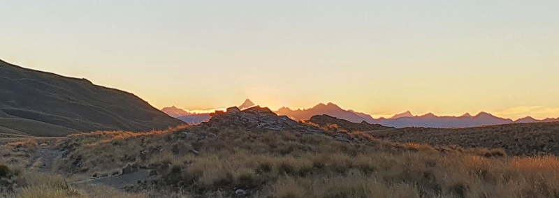
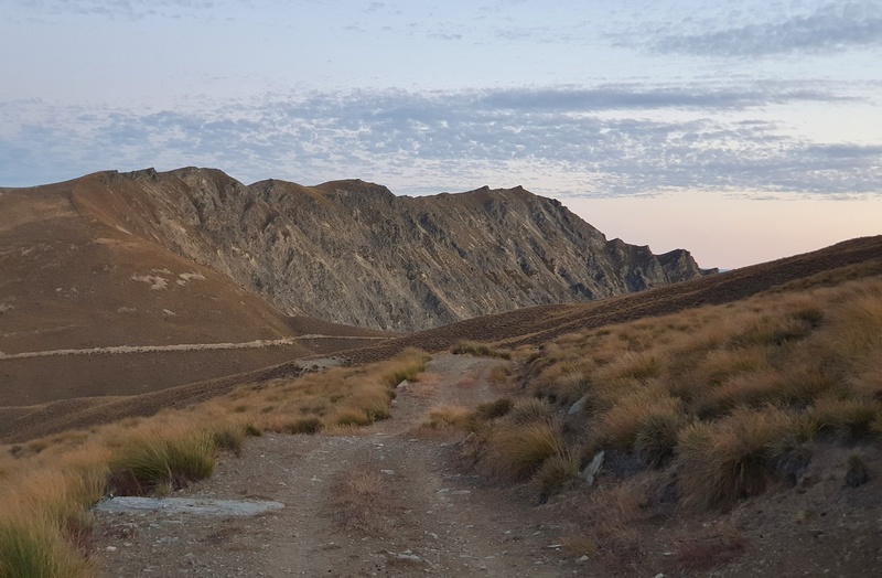
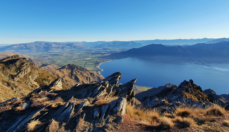
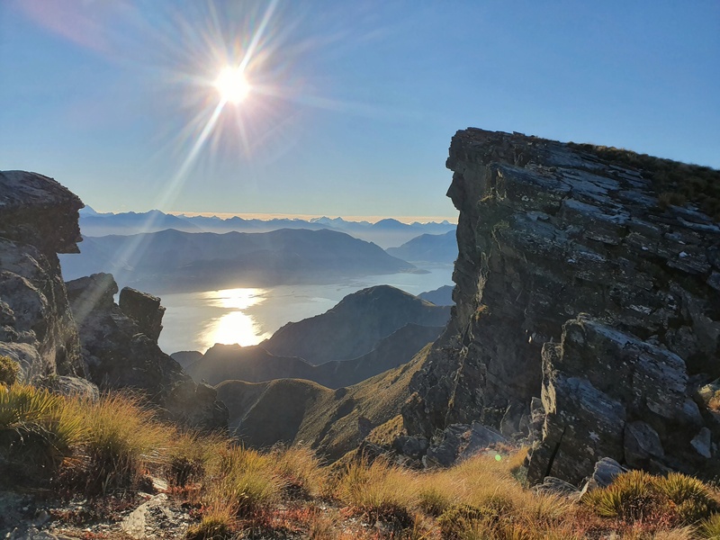
As I mentioned earlier, you really should explore some of the tracks and ridgelines near the hut, and if you want a big day, go north following the ridge towards the Corner Peak Route. Breast Hill is my favourite! Here’s a few other photos from around the area.
Hey, it’s Jub here. I’m the guy behind Chur New Zealand, helping you have the best time hiking, trekking, walking…whatever you want to call it…in NZ. I’m based in Queenstown and am always out and about exploring trails, old & new. If you have any questions, reach out.
I have lost my head for heights. I’m fine on tracks like Isthmus and even Maude which although quite steep there are no big drops and plenty of trees or roots to grab hold of.
Do you think Breast Hill would be a problem. Also what is Breast Peak? Cheers Rebecca
Hey Rebecca,
I know some people think Maude would be tougher than Breast Hill as the rock is a lot looser in general, so I think you’ll be fine! Breast Hill is usually considered the route to Pakatuhi Hut, but there’s an option to go to Breast Peak which is gurther along…the turn off to the peak is like 500 metres before the hut (signposted from what I recall). Definitely worth going to the peak if you have time (no massive drop offs, you can err to the sloping side if need be).
Have fun!
Cheers,
Jub