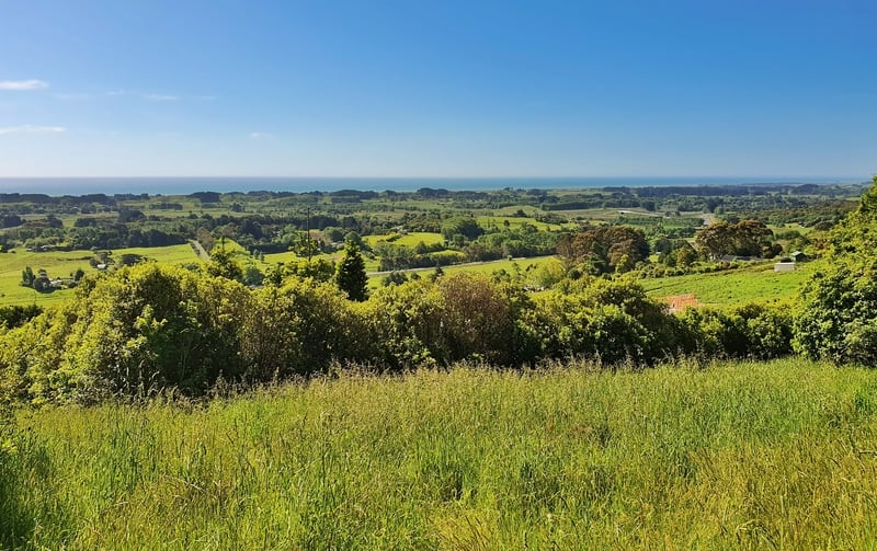
The Hemi Matenga Scenic Reserve overlooks Waikanae and if you decide to walk to the top of the reserve you’ll be rewarded with panoramic views of Kapiti Island and the coast.
Of the three walking tracks in the reserve:
- The Parata walking track is the most popular.
- The Te Au Track is tougher but the Parata tracks meets it at the top of the reserve.
- The Kohekohe Track is a short trail along the bottom of the reserve.
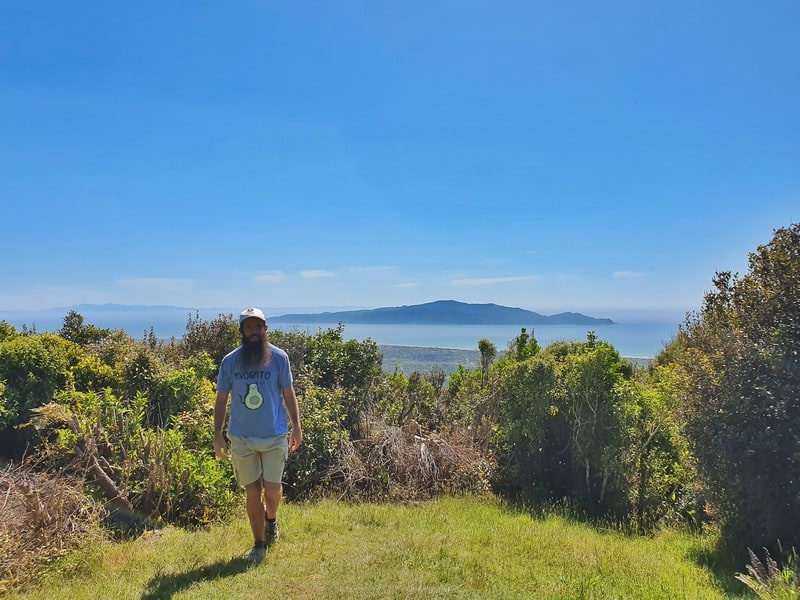
Hanging at the top viewpoint. It’s cool.
In this post, we’ll focus on the Parata walk starting from Tui Crescent that transitions into the Te Au track which leads back down the hill to Huia Street (you can return back down the Parata Track too).
If you’re looking for a more difficult hike nearby, check out the Kapakapanui Track.
TABLE OF CONTENTS
1. Details About The Hemi Matenga Tracks
2. Hemi Matenga Track Maps
3. How To Get To Hemi Matenga
4. My Te Au & Parata Walking Track Experience
1. DETAILS ABOUT HEMI MATENGA AND THE PARATA WALKING TRACK
I’d give the Hemi Matenga Tracks a 4.5/5 stars.
Why a 4.5/5 rating? There’s the potential for me to be a little biased here as I grew up in Waikanae.
But honestly, this is the first thing I do when I’m back staying at Dad’s place. The walk doesn’t take long and you get such incredible views of Kapiti Island, the valley, and of the South Island on a clear day.
I just wish the Te Au and Parata trails joined up at the bottom of the reserve somehow. Either way, this is the best of the Waikanae walking tracks, and is a great addition to a day trip from Wellington.
When1: I’ve been on these tracks lots throughout my life 🙂
Hike Distance2: My Strava entry logged 5.36km while Maps.me says it is 5.2km and the DOC signs have the track at 5.3km (from Tui Crescent to Huia Street).
Difficulty3: Medium
Incline4: 456 metres on Strava. 469 metres on maps.me.
Hike Duration5: It took me 29 minutes to get to the Reikorangi valley viewpoint and 45 minutes to get to the picnic bench with the view of looking straight out to Kapiti Island on the Te Au Track.
After a 15 minute break the descent took 55 minutes down to Huia Street.
From start to finish that’s just under two hours. I’d suggest it’d take most people 2-3 hours to get from Tui Crescent to Huia Street. The signs suggest it’s a 3-4 hour tramp.
2. HEMI MATENGA TRACK MAPS
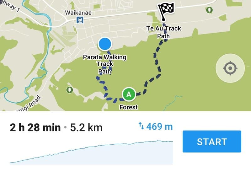
The tracks can’t be seen on Google Maps, but they’re on Maps.me (below). The map is the Parata Track and Te Au track combined (the Kohekohe Trail is not on there).
3. HOW TO GET TO THE HEMI MATENGA TRACKS
Walking: If you’re at Waikanae Village, you can walk to the Parata trailhead on Tui Crescent which is 1.6km away from Waikanae Railway Station.
Public Transport: if you’re coming from outside of Waiakane, you can catch the train to Waikanae Train Station and either walk to the trailhead or catch bus #281 to Winara Avenue opposite Kereru Street and walk the last couple of hundred metres to the trailhead.
You can view the bus #281 timetable here and the Kapiti train timetable here.
Driving: You can drive right to the Parata trailhead and park along Tui Crescent. There’s limited parking, but you shouldn’t have any issues. If you complete the full Parata and Te Au loop, you’ll need to walk the ~2km back to your car.
4. MY TE AU & PARATA TRACK EXPERIENCE
Note: This trip report starts at the Parata walking track which merges onto the Te Au track and follows that to the trailhead on Huia Street.
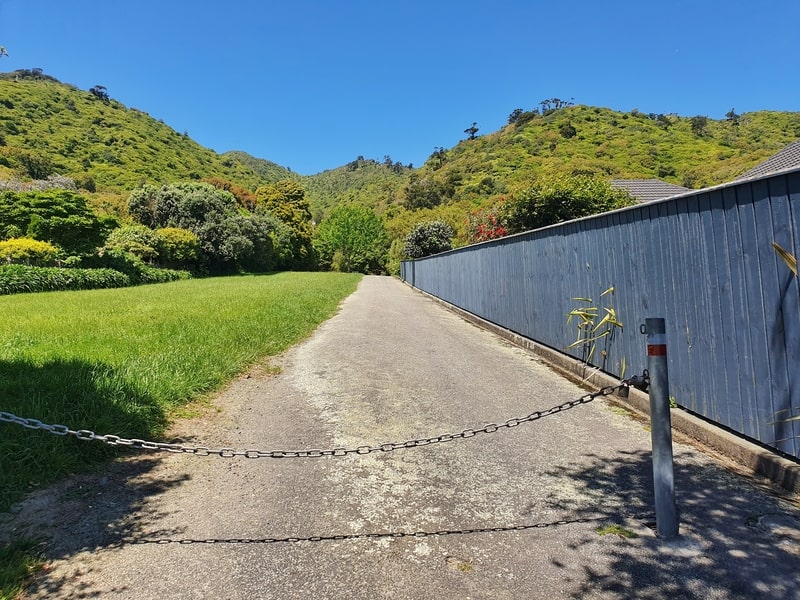
Walk straight up here into the cnaopy.
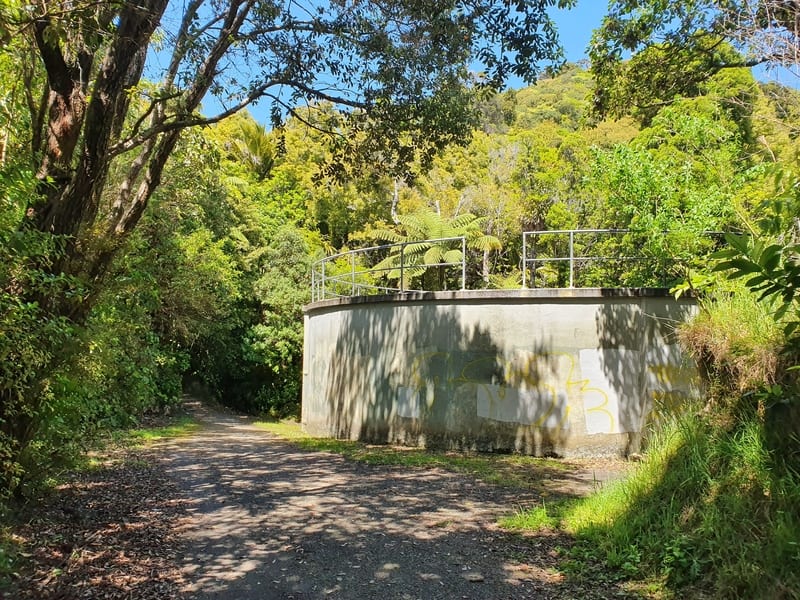
Stick to the left of this water tank.
The first ~100 metres of the track is on a sealed surface leading to the water tank which you’ll be able to see from the bottom of the incline. Sticking to the left of the water tank you’ll see the sign which gives you a description of the 330 hectares Hemi Matenga Scenic Reserve.
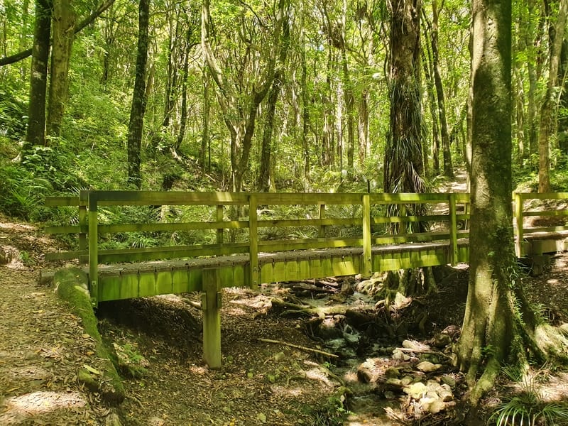
You’ll cross this bridge a couple minutes into the walk.
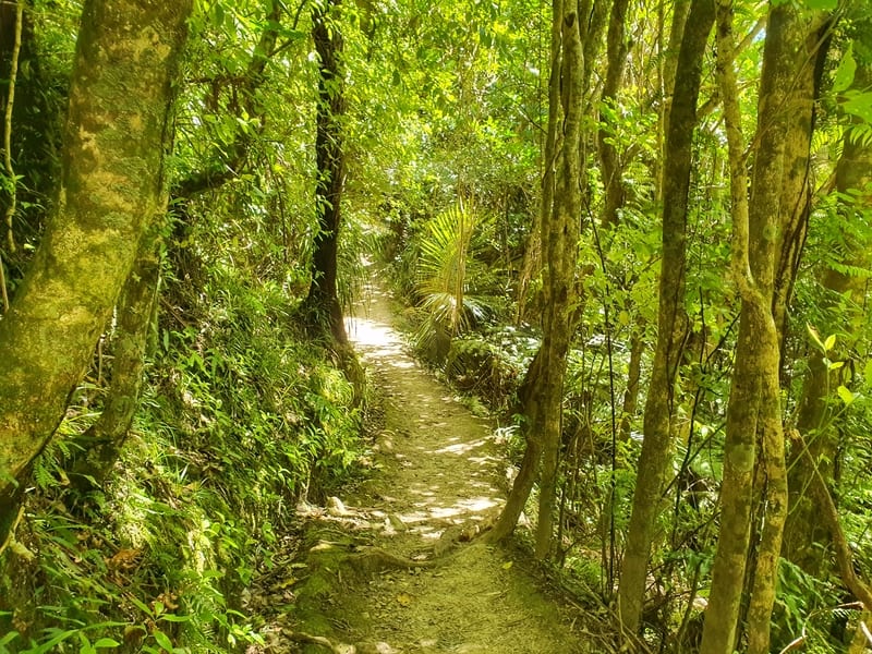
How good does this look!
Once you enter the canopy of the forest, you’re in the shade until you reach the first viewpoint out to Kapiti Island meaning you can get away with this hike on a scorching day and you shouldn’t get too burnt.
The track is well defined and you’ll have no trouble following the track with the orange markers. If you do see what looks like a trail leading off, stick to the main path and you’ll be on track.
You’ll come across the sign for the Kohekohe Track turnoff after ~10 minutes, but you’ll turn left and continue on up with the sounds of the creeks and birds in the background. The incline isn’t crazy, but it’s steady.
Thankfully the track on the way up with roots and other debris giving you issues.
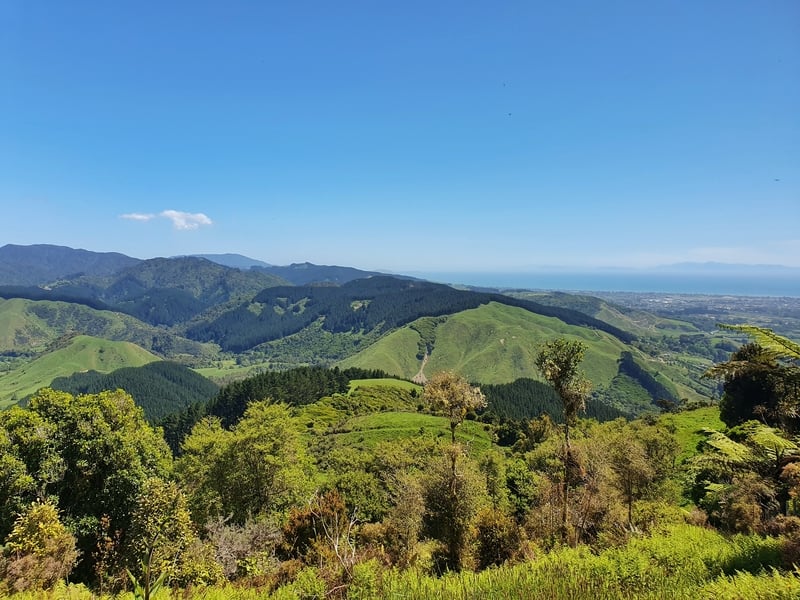
Looking out over the Reikorangi Valley.
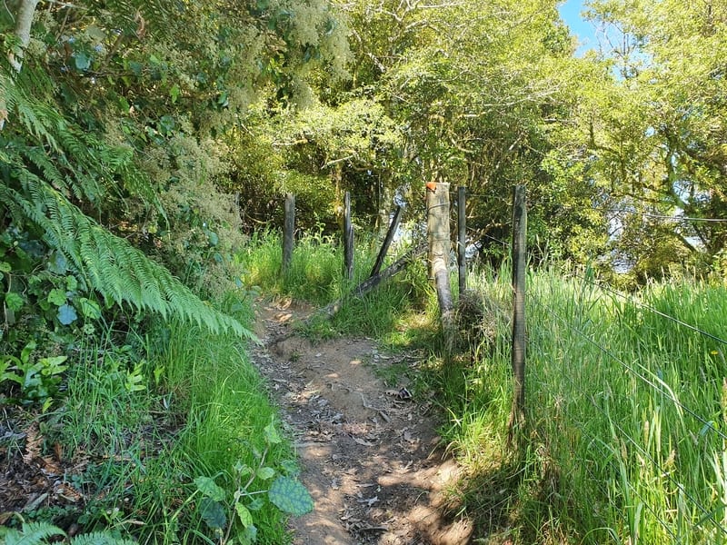
The Te Au Track follows this fence line for a couple hundred metres.
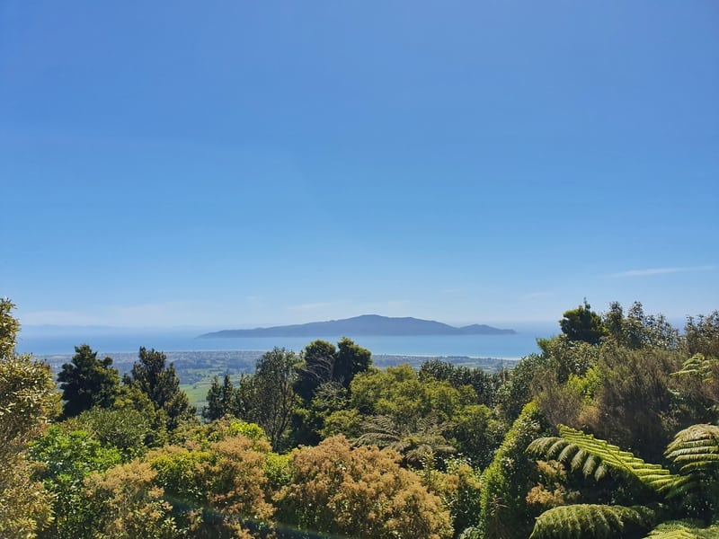
Then out of nowhere, you’ll come out across the lookout with views out towards Kapiti Island and the South Island.
There’s a little bank you can take a rest on, and while some people use this as the turnaround point…but I strongly encourage you to continue you up to the epic viewpoint a little bit further up the Te Au viewpoint.
After the first view a minute or so later you’ll see the Reikorangi Valley which is where the Parata Track finishes and transitions to the Te Au track.
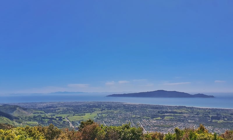
If you look closely you can see the South Island in the distance on the left hand side of the photo
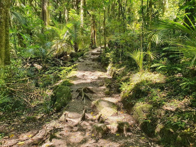
There are more roots on the second have of the track.
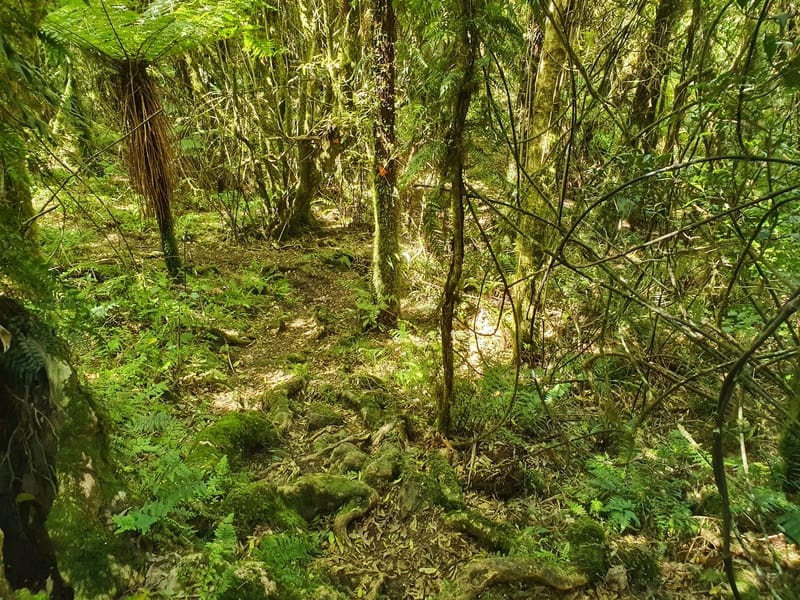
Exhibit B.
If you want, you can come back down the Parata Track as the Te Au Track isn’t so well maintained and is a bit steeper. That’s not to say it’s difficult (it would get tricky in the rain), as the orange markers are frequent and the roots get gnarly.
But that’s mostly after the epic viewpoint you see above. There’s a bench at the viewpoint where you can chill for a while (better than the bank mentioned earlier).
Update: Scroll down to the bottom and you’ll see a couple of comments from Angela and Sonya who completed the full loop. I’ve updated the difficulty from easy-medium to medium.
When you reach this point, you’re at the final stretch.
It’s a steady descent and after an hour or so you’ll be spat out at the opening to the farmland backing on to the streets in front of the reserve. It’s a walk down the hill in the tall grass for 300 metres before you reach the road signaling the end of the hike.
Depending on how you got to the beginning of the trail you will either need to walk about:
- 2.5km to the train station.
- 2km to get back to your car.
- 1km to the nearest bus station back to the Waikanae Railway Station.
For those heading here, this walk is usually on the must-do list of things to do in Waikanae. But given it’s reasonably quick you can do it on the way to Wellington.
If you’ve got any questions about the Hemi Matenga walks, leave a comment below or email jub@churnewzealand.com.
Tag me in your photos/stories on Instagram if you do this walk!
What to read next:
- Amazing walks around Wellington
- Heaps of things to do in New Zealand
- Paekakariki Escarpment Track Walk
- The Mangaone walkway (near Waikanae)

Hey, it’s Jub here. I’m the guy behind Chur New Zealand, helping you have the best time hiking, trekking, walking…whatever you want to call it…in NZ. I’m based in Queenstown and am always out and about exploring trails, old & new. If you have any questions, reach out.

Are you trying to kill me lol
Did this loop today, crikey was not for the faint hearted!
Hahaha! Love it. You got it done though yea? Great stuff, Angela 🙂
We also did this walk today, wow, that downhill of the loop was crazy, swinging from tree to tree, def struggled to stay upright. Challenging! Def not for light hearted.
Hey Sonya,
Thanks for letting me know! After all that rain over the last week it must have been doubly tough…will make sure be scroll down to check this comment haha.
Cheers, Jub
Hiya doing this again this week coming haha looking forward to it
Hope you have a great time this week Angela!
I almost always start from Huia Street and finish at Tui Crescent. That way, I go up the steepest parts instead of down them.
Hey Darryl,
I actually am starting to think that’s the smarter route if you’re planning to do the full circuit. Will update this post next week to mention that.
Cheers for sharing. Jub
If you suffer from knee problems don’t do this track otherwise a great adventure
Can’t argue with that advice Adrienne. Cheers for commenting!
Jub
Great walk, did early morning due to blistering weather but didn’t need to worry, as majority of walk under the canopy. Started Huia end, good to get steep portion done first. Question the distance as from car park to car park our apps recorded 6.9kms- although just over 2 hours after stop at Lookout for snack/drink.
Hey Nicki,
Thanks for the comment, and I’m stoked you enjoyed the walk.
I’ll take a look at my GPS data again for the distances 🙂
Cheers, Jub
Up the Parata track from Tui Crescent I got 3.26 km and 3.27 km on two separate walks (measured using the excellent NZ Maps app).
Up the Te Au track I got 3.92 km from Huia Street.
Hey Gordon,
Thanks for that! Pretty consistent there. Which NZ maps app are you using?
Kia Orana,
I literally did this track with my kids ages 7,11&14.
We left at 3:30(HUIA) finishing up at 6:30(TUI) doing the full loop for the second time I’d definitely recommend that way as it was more of a challenge no mucking around straight into the steep walk from the get go. Thoroughly enjoyed it and so did kids here are our images
Hey Elsie,
I love that you took your kids up there, 3 of them too! The steep way is the way to go I reckon, get that heart rate going haha.
No luck seeing your photos though 🙁
Cheers, Jub