The Success Track is an 8-9km out-and-back track near Coromandel Town.
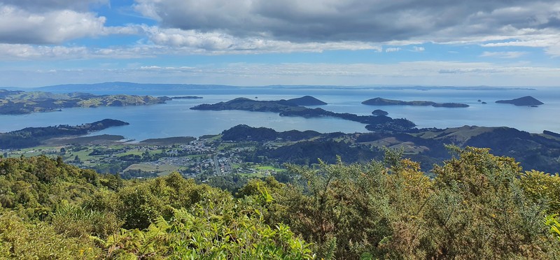
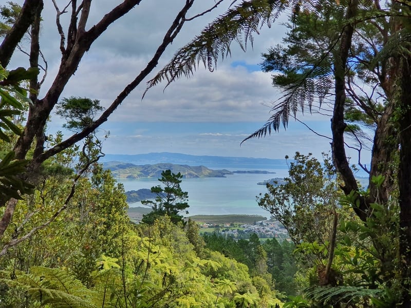
This Coromandel Town walk takes you to the Kaipawa, 586 metres above sea level. While there are no views at the summit, there are some beautiful views on the way up.
If you want, you can add a few different trails to a walk on the Success Track Coromandel. But in this post, we’ll on details for the out-and-back track to the trig.

A cheesey selfie as proof I’ve been on the Success Track.
TABLE OF CONTENTS
1. Success Track Coromandel Details
2. Map of the Success Track
3. How To Get To The Trailhead
4. My Success Track Experience
SUCCESS TRACK COROMANDEL DETAILS
Note: This is different to the Kaipawa Trig Track as mentioned on the DOC website.
When1: March 2021.
Difficulty2: Medium.
Hike Distance3: My Strava record says the Success Track hike is 8.7 km return. Plan for an 8-9km return walk from the trailhead to the trig.
RELATED: WHAT IS A TRIG?
Incline4: Strava recorded 581 metres of elevation, the majority of which is on the way up. That’s a very steady climb that’ll keep you honest. Here’s the elevation profile:

Hike Duration5: It took me 2 hours and 27 minutes to complete the hike which includes some time taking in the views (but no break for eating).
I suggest it’ll take most people 2 hours 20 minutes to 3 hours 30 minutes to complete the Success Track.
MAP OF THE SUCCESS TRACK
The map above is the GPX file from Strava overlaid on a topo map. The track isn’t on either Google Maps or Maps.me.
That said, once you’re on the trail you’d be doing well to get lost. Just make sure you turn left at the signpost to get to the trig as I’ll mention below.
HOW TO GET TO THE TRAILHEAD
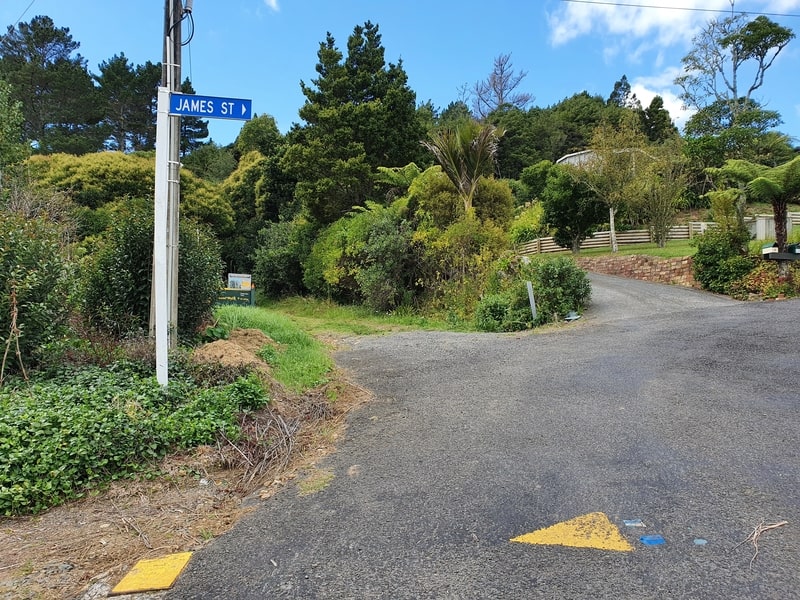
The trailhead is here at the end of Main Street in Coromandel Town.
The two easiest ways to get to the trailhead are by walking or driving.
You can walk from most places in Coromandel Town to the trailhead easily enough. It’s a 1.8km walk from the Four Square to the trailhead along Rings Road.
There’s not much parking on Main Street right by the trailhead (see photo above), but you’ll be able to find some within a couple of hundred metres away on Rings Road.
There are no ride-sharing services running in Coromandel Town.
These are some accommodation options in the immediate area of the trailhead:
MY SUCCESS TRACK EXPERIENCE
The Success Track has a low-key start with just the track name on the green sign near the trailhead. It would have been nice to read some information about the track perhaps, such as the area’s gold mining history.
The track enters the forest immediately as you get straight into the climb. The track is easy to follow, with no deviations of note in the early going.
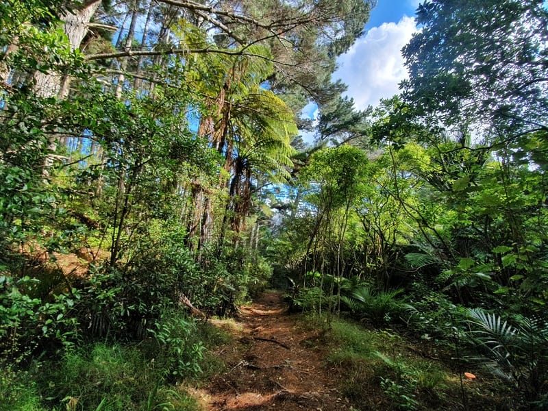
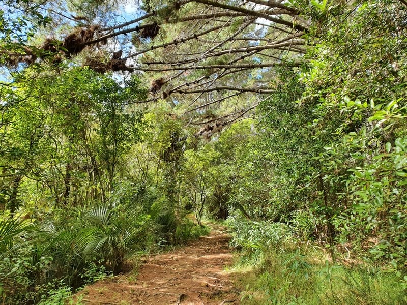
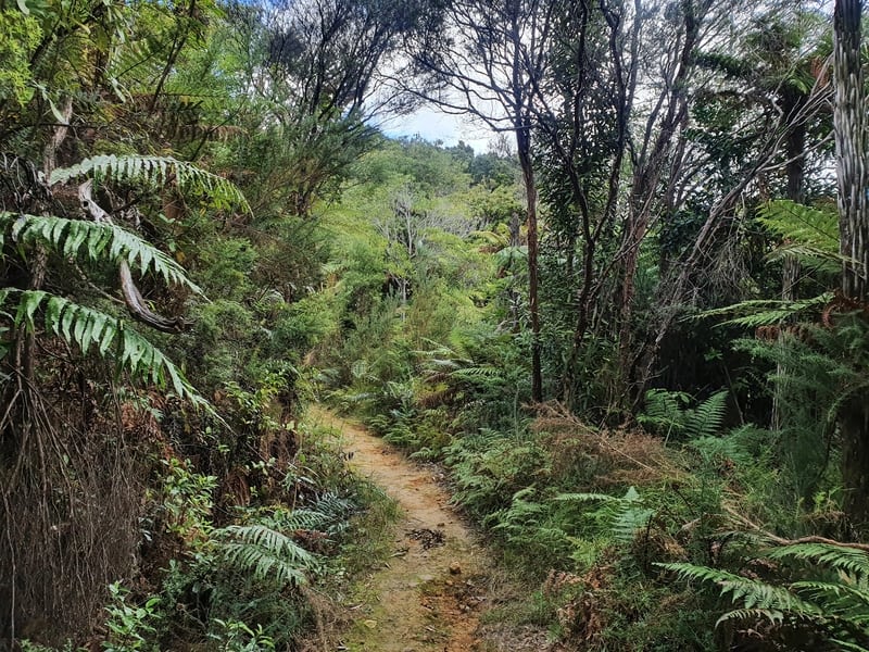
The first 1.5km or so does have a good amount of clay on the track which even on a dry day caused me to slip a little.
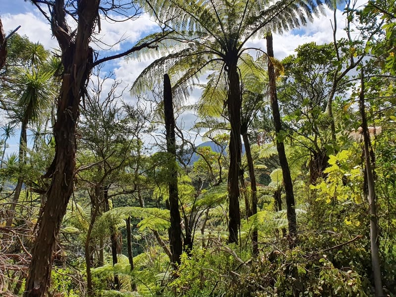
The forest is a lot of native bush, but it’s not the most spectacular forest I’ve seen on the Coromandel.
Along the way, I did spot a couple of benches just off the side of the track that offers some views. If you think you’ll need a strategic break, keep an eye out for them.
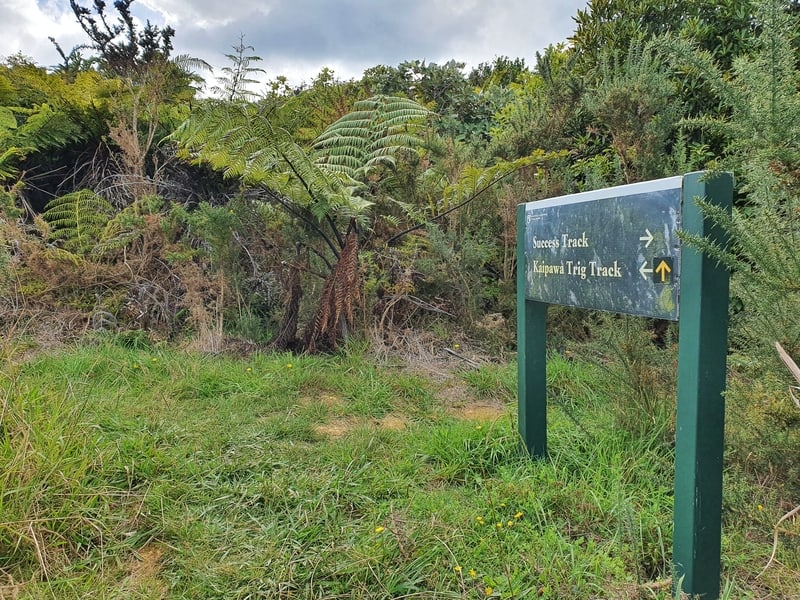
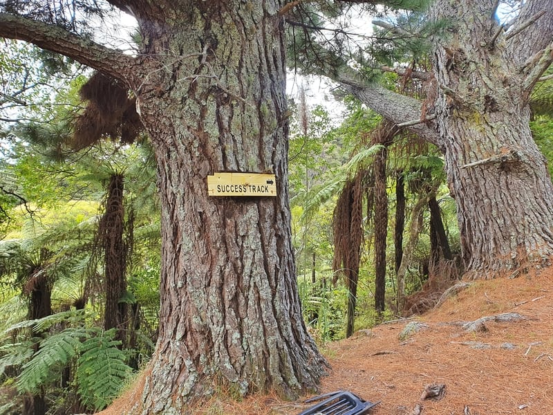
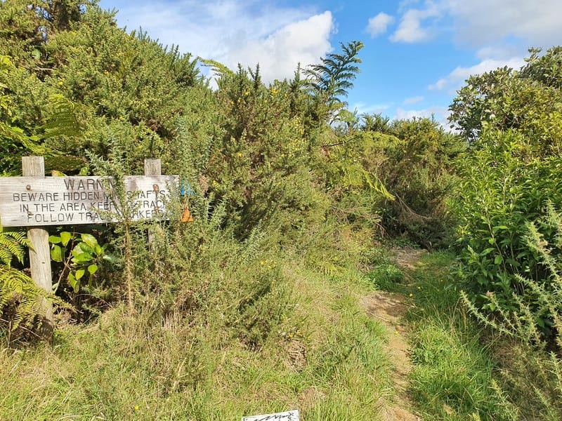
After ~3.7km you’ll come across the one and only junction which means you’ve made it to the Kaipawa Trig Track that follows the ridgeline. You’ll see the sign above, turn left.
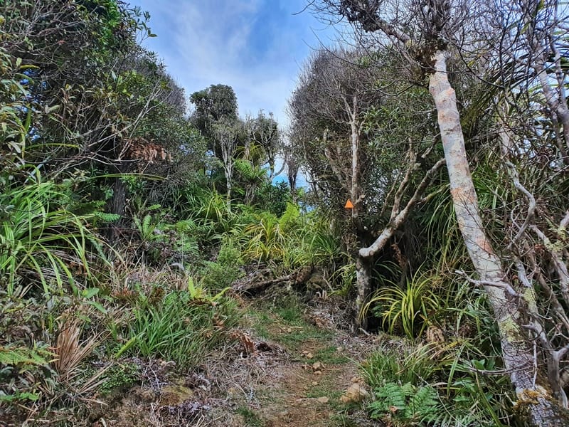
From here the track becomes a genuine single trail track and gets steeper and a little technical.
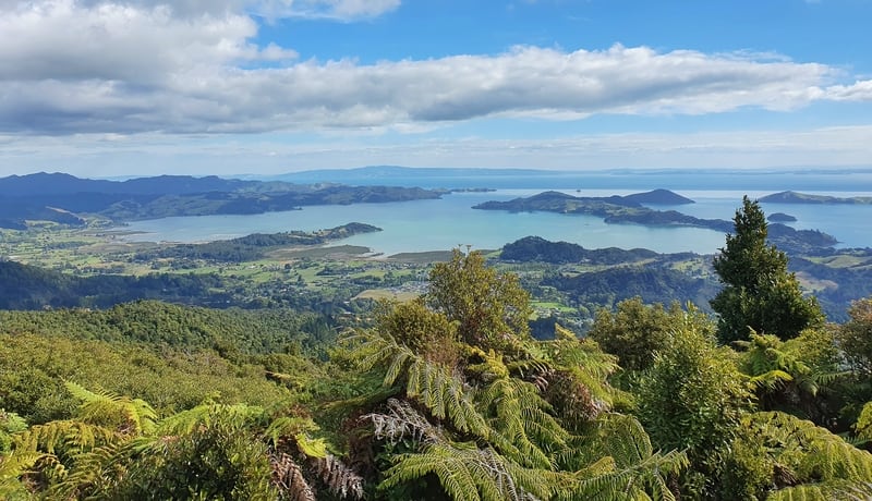
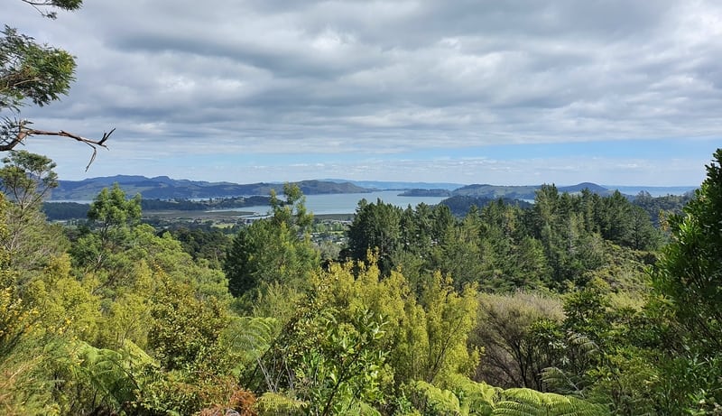
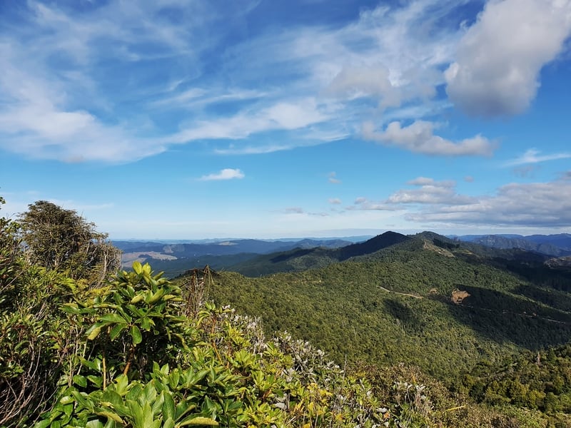
You’ve only got about 600 metres to get to the trig from the junction, but it’ll be the slowest 600 metres as you get some amazing views of the Coromandel Harbour.
There’s a couple of points where you might take a couple of seconds to work out where the track goes if it’s overgrown, but honestly, that’s going to be rare. You won’t get lost.
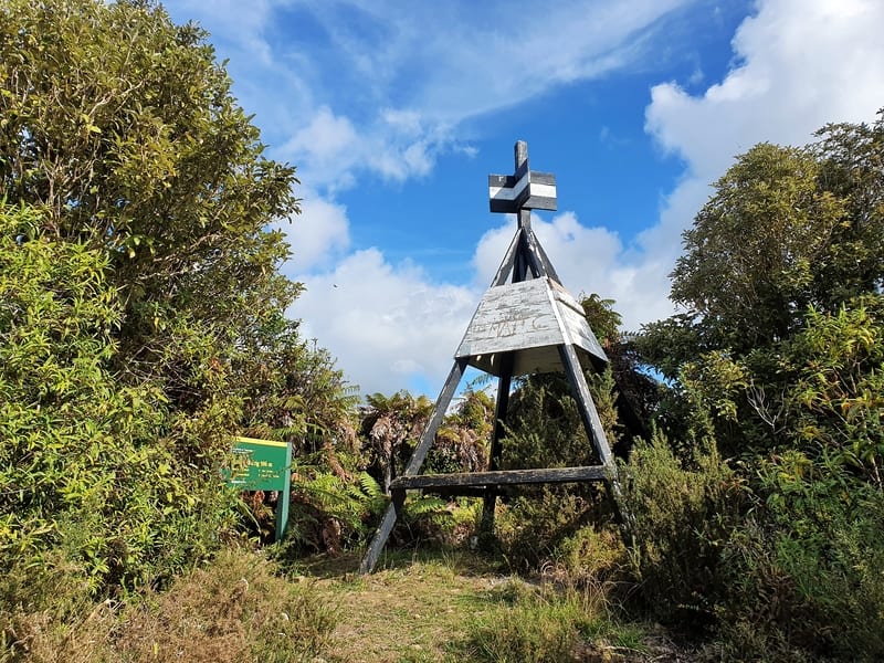
And then out of nowhere, you reach the Kaipawa Trig 586 metres above sea level. I was a little gutted there were no views from the summit, even after scrambling onto the top of the trig.
But it’s only a short distance past the panoramic views, so you may as well go all the way to say you’ve done it.
If you wanted, you could follow the track past the trig which would take you to Kennedy Bay Road and the Tokatea Hill Lookout, but then you’ve got to figure out transport back to the city (you could walk back along the road but it’s not fun).
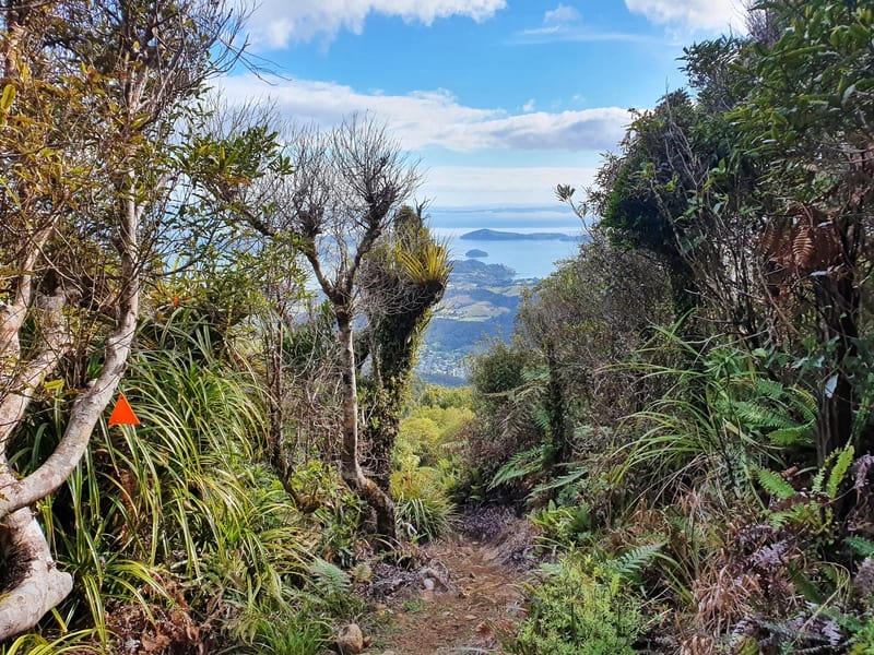
So after a quick break at the trig, it’s time to head back. At least you’ll get the views coming back for a little bit.
There’s not much to speak of on the descent given it’s an out-and-back. Do be aware of the clay on the last couple of kilometres of the walk as mentioned earlier. It can get you when you least expect it.
The Success Track is a great way to spend a few hours if you’re spending a couple of days relaxing in Coromandel Town. It’s so close to town, the locals must feel lucky with what they’ve got.
If you’ve got any questions and/or comments about the Success Track Coromandel, drop a comment below or email jub@churnewzealand.com .
RECOMMENDED READING
Cathedral Cove Walk
To Narnia!
The Wentworth Valley Waterfall Track
A solid walk, a great option for people who are camping.
The Wharekirauponga Track
One of my favourite tracks I’ve discovered on the North Island that you’ll rarely hear people talk about.

Hey, it’s Jub here. I’m the guy behind Chur New Zealand, helping you have the best time hiking, trekking, walking…whatever you want to call it…in NZ. I’m based in Queenstown and am always out and about exploring trails, old & new. If you have any questions, reach out.
