The Routeburn Track is my favourite Great Walk. In 33km, you get a variety of epic scenes and a chance to escape from the chaos of everyday life. This post will help you plan your Routeburn Track adventure.
The Routeburn Track is on both Mount Aspiring National Park and Fiordland National Park which is awesome. And at 33km, there’s a whole host of different ways you can experience this track.
Take your time to read through this post and you’ll be able to make some solid plans for your trip, whether that’s a 1, 2, 3, or 4-day itinerary that sticks to the trail or ventures off for detours like Valley of the Trolls or the Sugarloaf Pass.
Let’s get into it.
TABLE OF CONTENTS
1. Essential Routeburn Track Info
2. Planning Your Routeburn Track Trip
3. Routeburn Track Hiking Itineraries
4. Are There Good Day Hikes On The Routeburn Track?
5. Huts vs. Campsites On The Routeburn Track
6. Where To Stay On The Routeburn Track
7. When To Hike The Routeburn Track
8. How To Book The Routeburn Track
9. What To Pack For The Routeburn Track
10. Notes From The Routeburn Track
11. Routeburn Track FAQ’s
12. More Routeburn Track Photos
1. ESSENTIAL ROUTEBURN TRACK INFO
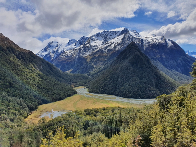
Trail Length: ~33km one way (will vary if you do the side trips).
If you’d like the Routeburn Track GPX file, you can download it here.
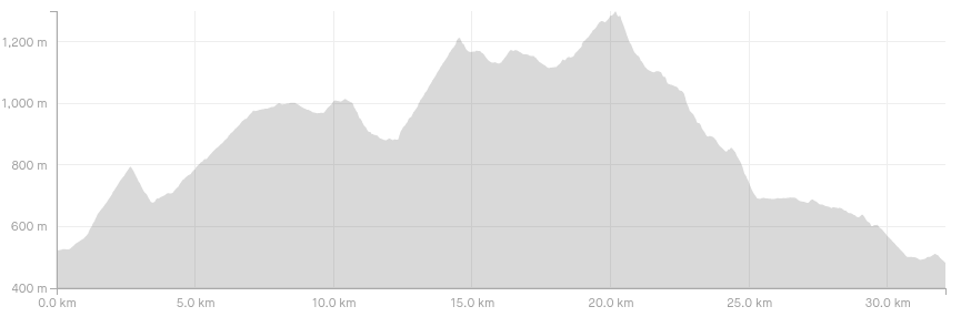
Elevation Gain: ~1300 metres.
The elevation profile below is from The Divide to Routeburn Shelter (without any of the side trips):
Time: Most people spend 3 days and 2 nights on the track. This is a very manageable distance for 99% of people.
You can do the Routeburn Track in 1 day, 2, or even 4 days… there are plenty of variations we’ll touch on later in the post.
Type of Trail: End to end. You can combine this with the Greenstone – Caples Track and make it a circuit however.
The Routeburn Track Trailheads:
People walk the Routeburn Track in both directions. I feel like most people start from the Routeburn Shelter, but I will try and confirm that.
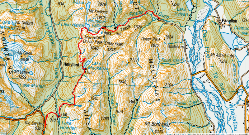
Here’s a map showing the Routeburn Trail. If you click on the image below, it’ll open up in a new window on Topomap.co.nz.
2. PLANNING YOUR ROUTEBURN TRACK TRIP
STEP #1: CHOOSE YOUR TRAILHEAD
- Starting from Routeburn Shelter: The benefits of this means you’ve got a shorter drive to start on one day in most situations and if you’re planning to explore Milford Sound afterwards, you’re close by.
- Starting from The Divide: You’ve got a shorter drive back to Queenstown post trip which is handy if you’re tired and are on a quick turnaround. You’ll also get to walk up from Lake Mackenzie which is generally the easier option on the knees.
STEP #2: DECIDE HOW MANY DAYS YOU’LL NEED
The majority of people spend 2 nights/3 days hiking the Routeburn Track, staying the night at Routeburn Falls and Lake MacKenzie Hut.
But, you can walk the Routeburn Track in 1 day, 2 days, or even 4 days.
3. ROUTEBURN TRACK HIKING ITINERARIES
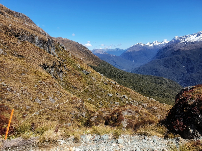
Hiking the Routeburn Track over 3 days – Recommended Itinerary
Starting from the Routeburn Shelter.
- Day One: Routeburn Shelter to Routeburn Falls Hut, 9.8km
- Day Two: Routeburn Falls Hut to Lake Mackenzie Hut, 11.3km
- Day Three: Lake Mackenzie Hut to The Divide, 12km
If you’ve got a late start, you could substitute Routeburn Falls Hut for Routeburn Flats Hut instead.
You can do this itinerary in reverse as well.
Can you do the hike in fewer days?
Yes!
I’ve completed the Routeburn Track in one day, and it’s not that uncommon for people to do. As long as you’re a somewhat regular hiker and get a reasonably early start (in the summer), you’ll have plenty of time to chip away at the track throughout the day and get time to spend enjoying the scenery. It’s also a great track to run.
4. ARE THERE GOOD DAY HIKES ON THE ROUTEBURN TRACK?
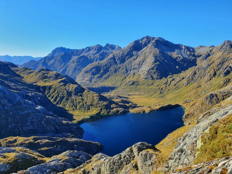
There are some amazing day hikes you can do on the Routeburn Track.
From the Routeburn Shelter:
- to Bridal Veil Falls
- to Routeburn Flat Hut
- to Routeburn Falls Hut
- to Harris Saddle (and Conical Hill)
From the Divide:
- to Key Summit
- to Lake Mackenzie
Another option you might want to consider is booking this guided tour which includes transport from Queenstown.
5. HUTS VS. CAMPSITES ON THE ROUTEBURN TRACK
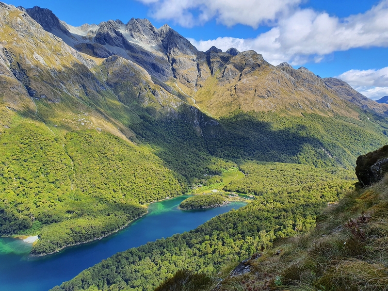
The majority of people hiking the Routeburn Track stay in huts, but there are some who will take a tent and spend nights under the stars.
HUTS ON THE ROUTEBURN TRACK
Pros
- A good shelter overhead
- Hut wardens are great
- You don’t need to think about camping sites/weather
- All the facilities easily accessed
Cons
- You need to book them in advance, so less flexibility
- Hut etiquette can be hit and miss
- Relatively expensive
CAMPING ON THE ROUTEBURN TRACK
Pros
- You can escape the big crowds at the huts
- You don’t need to organise until last minute
- Cheap!
Cons
- Only two places you can camp.
- Carrying extra weight (tent and mats) is never fun.
- If the weather is bad, it’s not going to be fun and cancelling is a likely scenario.
I’m sure there are more you can think of, but that’s all I’ve got.
6. WHERE TO STAY ON THE ROUTEBURN TRACK
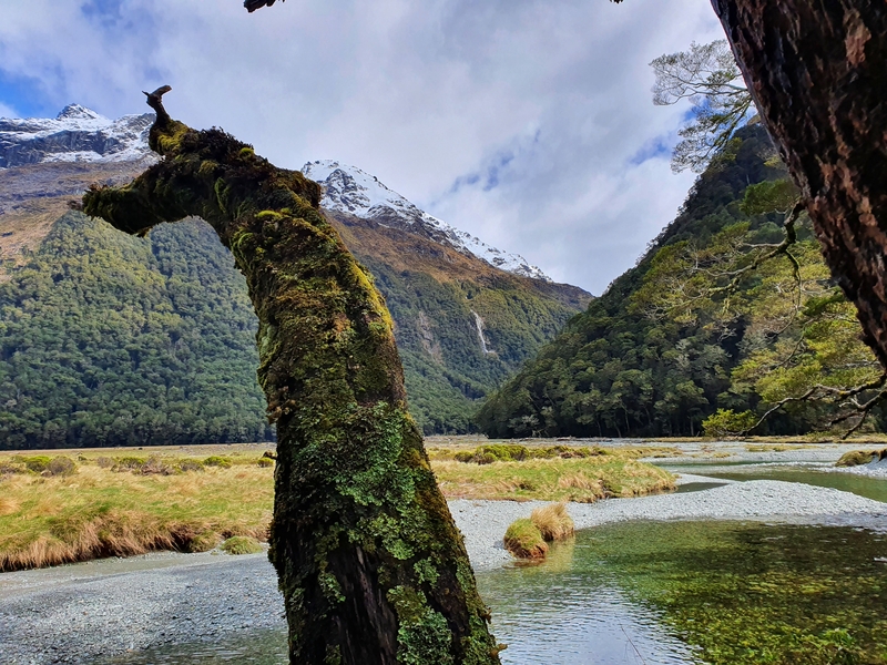
The three huts on the track are:
- Routeburn Flat Hut
- Routeburn Falls Hut
- Lake Mackenzie Hut
Hut Fees (from 1 November 2021 – 30 April 2022):
NZ citizens
Adult: $68/night
Youth (17 years and under): Free, but bookings still required.
International visitors
Adult: $102/night
Youth (17 years and under): $51/nigt
Hut Fees (from 1 May 2022 – 30 June 2022):
For all
Adult: $25/night
Youth (17 years and under): Free
Hut Fees (from 1 July 2022 – 30 October 2022):
For all
Adult: $15/night
Youth (17 years and under): Free
Back country hut passes? They are valid at all huts between May 1st and October 30th (off season).
The Camp sites:
Routeburn Flat
Lake Mackenzie
Camping Fees from November 1st – April 30th
New Zealand citizens
Adult (18+ years): $21/night
Child (17 years and under): free but booking still required
International visitors:
Adult (18+ years): $32/night
Child (17 years and under): $16/night
From May 1st to October 30th
For all visitors:
Adult (18+ years): $5/night
Child (17 years and under): free
7. WHEN TO HIKE THE ROUTEBURN TRACK
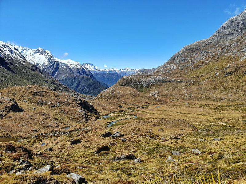
The Great Walk season (November to April) is the best time to walk the Routeburn Track for obvious reasons. The warmest time of year, hut wardens, pretty much zero avalanche risk, and lots of others around.
But you can walk the Routeburn Track year round depending on snowfall. You’ll need to check in the DOC visitor centre to get up to date track info before you go.
I really like the Routeburn Track in May and October as the track is usually still manageable and there’s fewer people on the track.
8. HOW TO BOOK THE ROUTEBURN TRACK
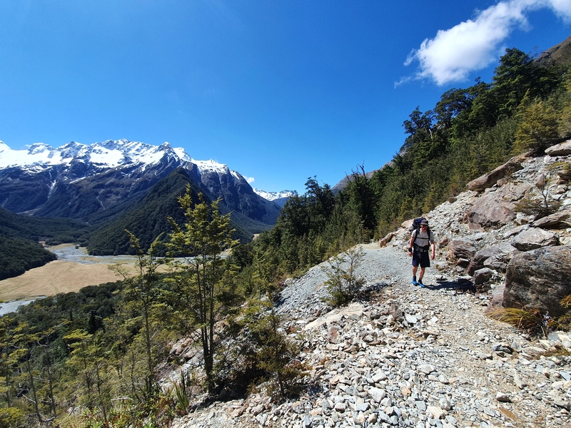
Accommodation: If you’re planning to walk the track in summer, you’ll need to book hut spaces well in advance. Ideally as soon as they go on sale which is usually early May.
Transport: I’ve written a full post on Routeburn Track Transport as you’ve got lots of options, including:
- 1. Self-Drive
- 2. Car Relocation Services
- 3. Buses
- 4. Guided Tours
- 5. Key Swaps
- 6. Hitchhiking
9. WHAT TO PACK FOR THE ROUTEBURN TRACK
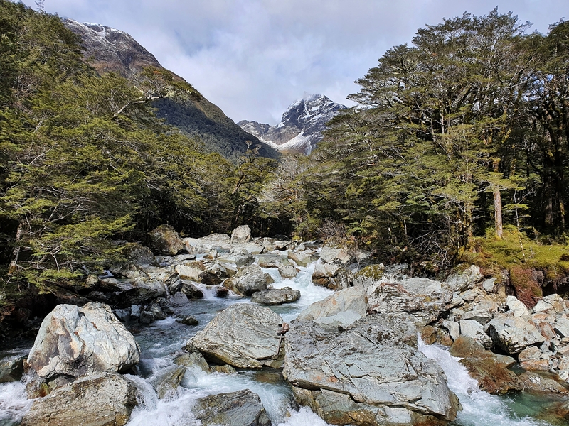
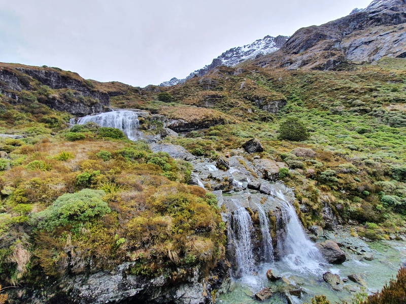
The age old question I get, what should I pack for the Routeburn Track? I get it, it’s not easy, especially if you haven’t done too many multi-day hikes before. For a Routeburn Track packing list, consider your:
Food: You’ll need to bring all your food (and hiking snacks) with you. That’ll mean a big shop at one of the supermarkets beforehand.
Cooking things: Will you need a stove and gas (provided in the huts during Great Walk season) or will you survive on food you don’t need to cook?
Sleeping bag: Whether you’re camping or staying in huts, you’ll need a sleeping bag. If you’re going in summer, a sleeping bag like the Macpac Dusk 400 is usually more than enough to keep you warm.
Reusable water bottle: There are not too many streams you can drink from along the Routeburn, but the water tanks at the huts have ample supplies of water. You could get away with having 500ml of water capacity, but most of you will want 1 litre.
Hut Tickets/Hut Booking: OUtside of Great Walk season, you can use hut tickets or your Backcountry Hut Pass. During the Great Walk season, make sure to bring a confirmation of your booking.
Power Bank: There’s no reception on the Routeburn, but even then I find my phone’s battery will drain if I take too many photos 🙂
Insect Repellent: I’ve come across a few sandflies on the Routeburn Track. There’s definitely places where they’re worst, but bring some repellent.
Sunscreen, Sunglasses and a Hat: Once you get above the forest, you’re going to find very little shade on a good section of the track so make sure to slip, slap, slop.
Hiking Poles: Certainly not a must on the Routeburn, but you’ll find plenty of people using them.
Waterproof layer and bag protection: When it rains, it’s going to rain. As it’s a short track compared to most of the South Island multiday tramps you don’t have to walk all day and can avoid the heaviest rains, make sure you get a good jacket like the Macpac Tempo. And dry bags are useful for all sorts of things, not just keeping your stuff dry. Pack a few different sizes.
Good hiking clothes: Base layers, middle layers, and an outside layer. You’ll likely have all of this stuff at home already, but make sure it’s appropriate for hiking. Life will be much better if it is.
10. NOTES FROM THE ROUTEBURN TRACK
- The hut wardens have a weather briefing at 7pm each night in the huts during Great Walk season.
- DOC recommends NIWA, but I like checking YR.no and the specific hut forecasts for the Routeburn.
- If you’re unsure about Conical Hill, it’s totally worth it on a blue sky day!
- There’s an unmarked side trip to Lake Wilson you could do which takes you into Valley of the Trolls.
- If you want to make this a longer hike (and a few more days), you can return via the Greenstone/Caples Track.
- It doesn’t matter which NZ simcard you have, there’s no reception on the track at all.
- No unauthorised drones are allowed on the track, or anywhere on the hikes in Mount Aspiring National Park or Fiordland National Park.
11. ROUTEBURN TRACK FAQ’S
Can you camp on the Routeburn Track?
You can! As mentioned earlier, you can camp at Lake Mackenzie and Routeburn Flat.
Can you do the Routeburn Track in May?
Yes, this is the first month after the Great Walk season. So the huts won’t be set up so well, and the weather isn’t so reliable, but there’s no reason you can’t provided there’s been no major snowfall.
Can you do the Routeburn Track in two days?
You sure can! Hiking 33km in 2 days isn’t that hard for most people. You’ll just need to work out which hut to stay in, and whether you’ll do the longer hike on day 1 or 2.
Can you do the Routeburn track in winter?
In theory, yes. But for a lot of the winter season there’s significant avalanche danger therefore it’s best to contact DOC before you go to get their recommendations.
Can you swim on the Routeburn?
You can swim in Lake Mackenzie and some people will swim in Routeburn Falls (apparently). I’ve never seen anyone jump in Lake Harris though.
Can you walk the Routeburn Track in one day?
Yup! I have a friend who did this recently, and I made sure to check she didn’t run any of it. It took her about 9 hours which means it was a pretty steady hike, but there were some picnic and photo stops throughout the day
How high is the Routeburn Track?
Here’s a few points to note:
- Routeburn Shelter is at 477 metres above sea level.
- The Divide is 532 metres above sea level.
- Conocial Hill is 1515 metres above sea level.
- Harris Saddle is 1255 metres above sea level.
And total elevation gain is around 1300 metres (not including Conical Hill).
How much does the Routeburn Track cost?
This will vary lots. If you were to hitchhike to/from the start and hike the track in one day you could spend nothing but your food costs on the track. Alternatively, take a guided tour and you’ll spend a few thousand dollars on the hike. Most people will be somewhere in between.
Here’s a rough guideline for one adult in the Great Walk Season for international visitors:
- Huts for 2 nights: $200
- Food and drinks: $80
- Transport: $100
- Additional gear: $200
As I typed this, I realised how many variables there are. But it’s not unrealistic to expect to fork upwards of $600 for an adult to do the Routeburn Track. You can save money (or spend more) on transport and stuff of course.
Is Routeburn Track open?
If you’re asking this, it’s most likely because there’s bad weather in or around the area. The two places you’ll want to check are the DOC website to see if there are any warnings for the Routeburn Track, and then call the Queenstown DOC Visitor Centre for the latest.
Is the Routeburn track hard?
Yes and no. If the conditions are perfect, hiking the track over 3 days is really chill. Add in some bad weather and doing the track in one or two days and the track is hard…and possibly dangerous.
Is the Routeburn Track safe?
In terms of the people and animals on the track, yes. The biggest danger to whether or not the Routeburn Track is safe or not is the weather, and you being ill-prepared.
Is there cell phone coverage on the Routeburn Track?
No. It’s nowhere to be found on the track, including at the top of Conical Hill. Enjoy it!
Where does the Routeburn Track finish?
If you started at The Divide, you’ll finish at Routeburn Shelter which is an ~25 minute drive from Glenorchy. If you start at Routeburn Shelter, you finish at The Divide which is about 1 hour from Te Anau and about 40 minutes from Milford Sound.
Where should I stay before Routeburn Track?
Most people are going to stay in Queenstown the night before starting the Routeburn Track. It’s over an hour from the Routeburn Shelter trailhead, but that’s not a major issue as it’s handy to be somewhere you can get last-minute gear and food. If you want to stay closer to the track, you’ll want to head to Glenorchy or Kinloch.
If you’re starting from The Divide, Te Anau is where people will often stay the night before.
Which is better Routeburn or Milford Track?
If this was a poll, I feel like 75% would say the Milford is better, but in person it seems to be about 60/40 in favour of Routeburn.
Personally, I think the Routeburn is though as it’s so easy to access, and there’s so much action within 32km. I’ve written more about Routeburn vs Milford if you want a side-by-side comparison.
Why is the Routeburn Track closed?
If the Routeburn Track is closed, it’s likely due to not being safe for the public to access due to the current weather, or damage from a previous weather event. If you want more information, check the official website and/or visit the local DOC office.
12. MORE ROUTEBURN TRACK PHOTOS
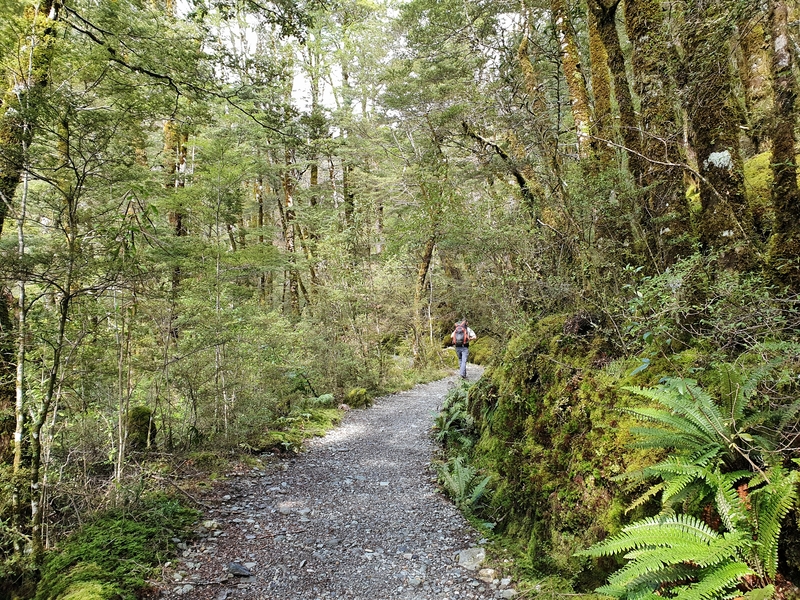
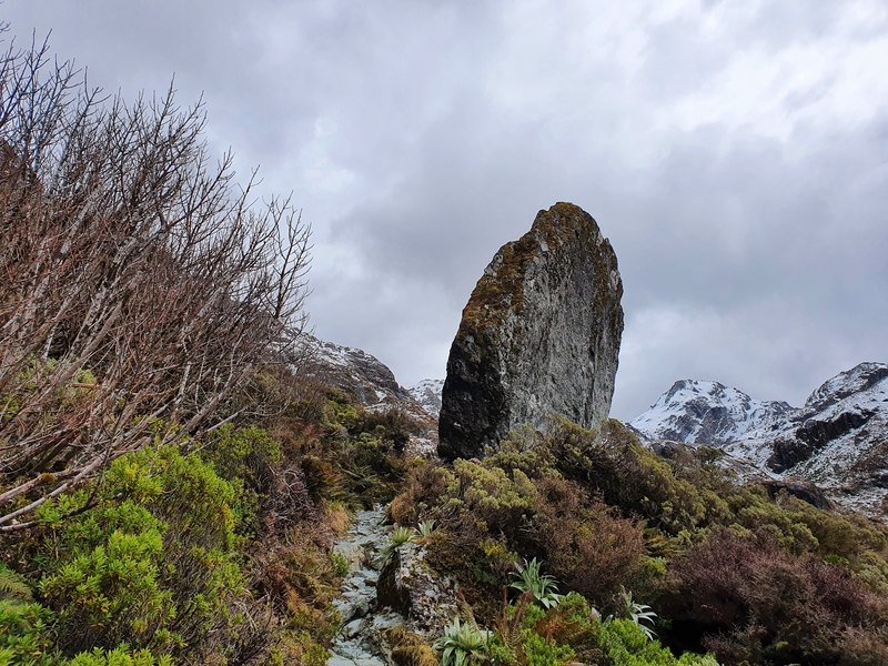
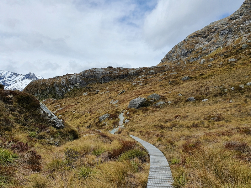
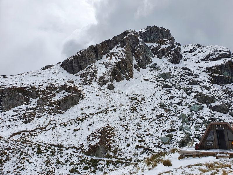
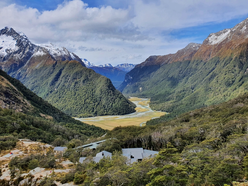
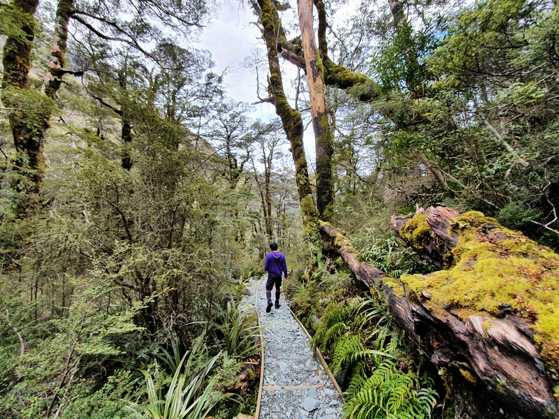
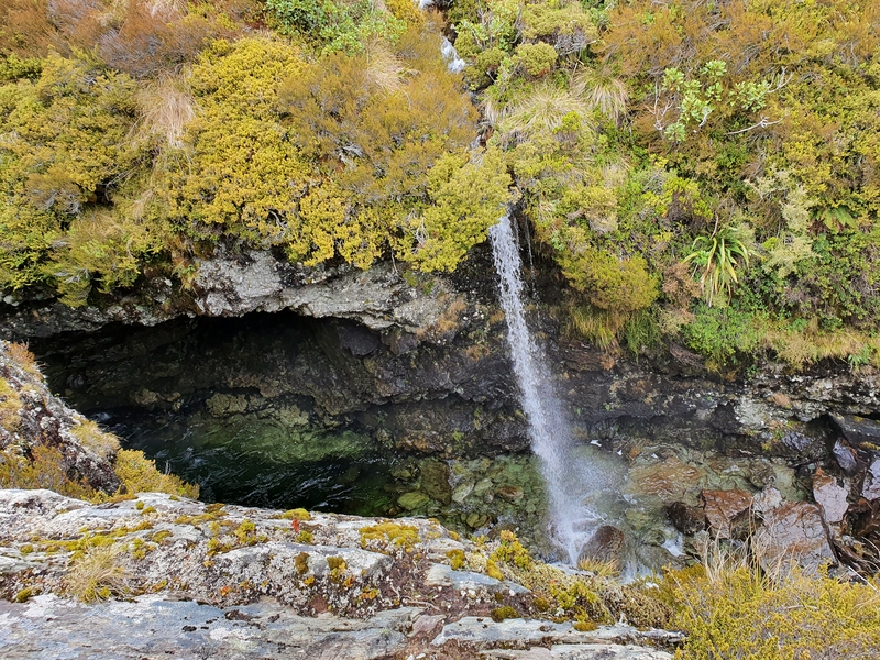
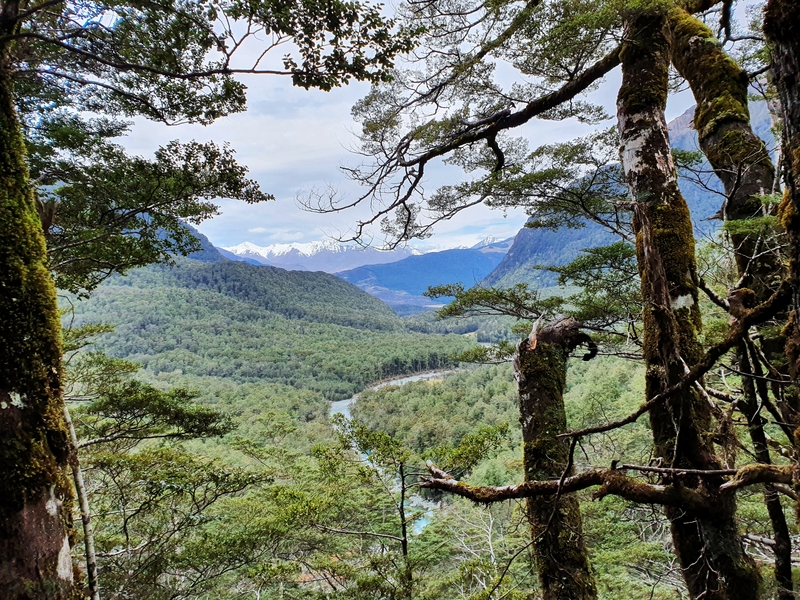
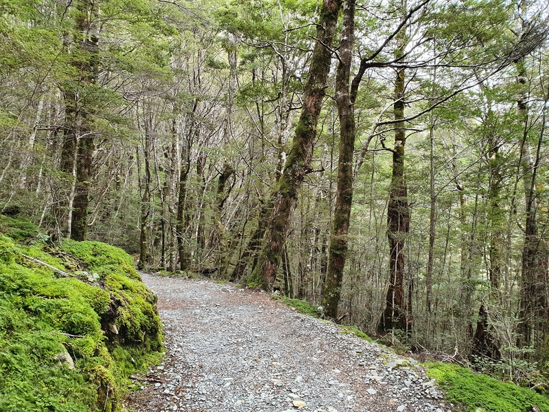
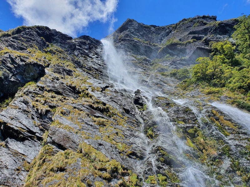
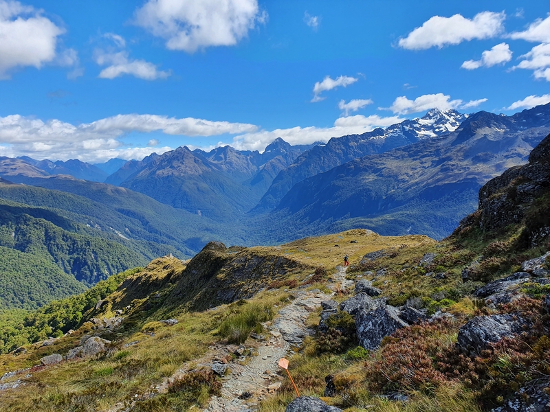
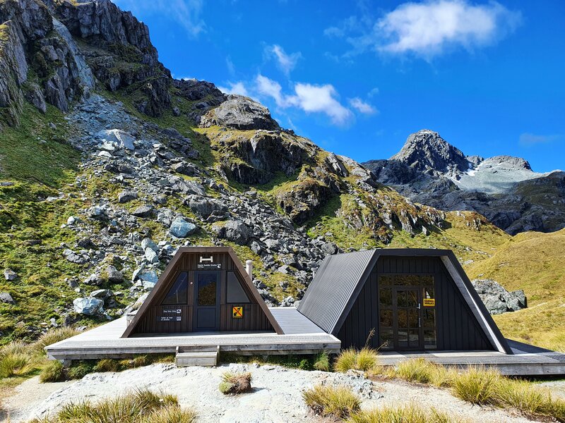
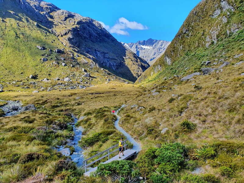
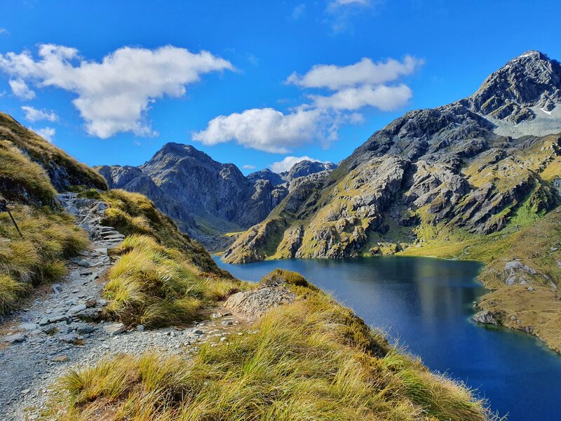
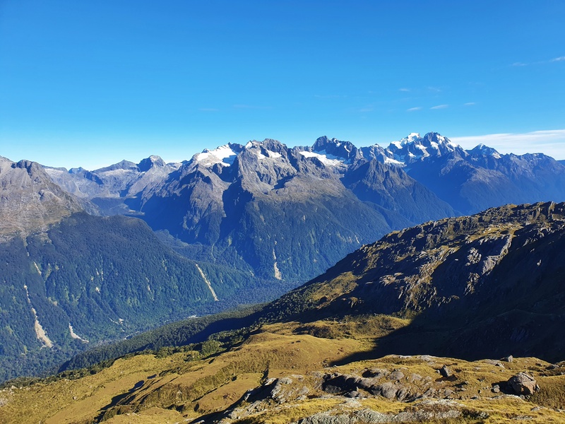
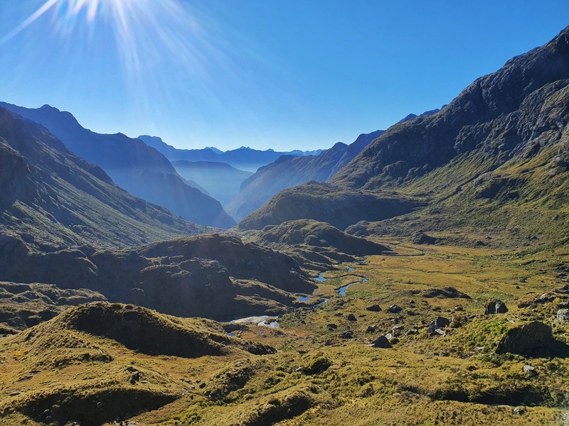
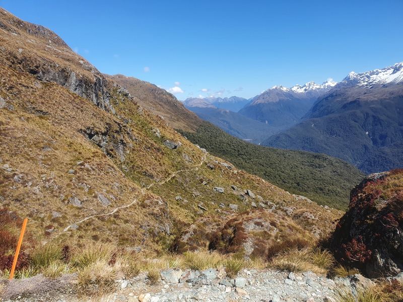
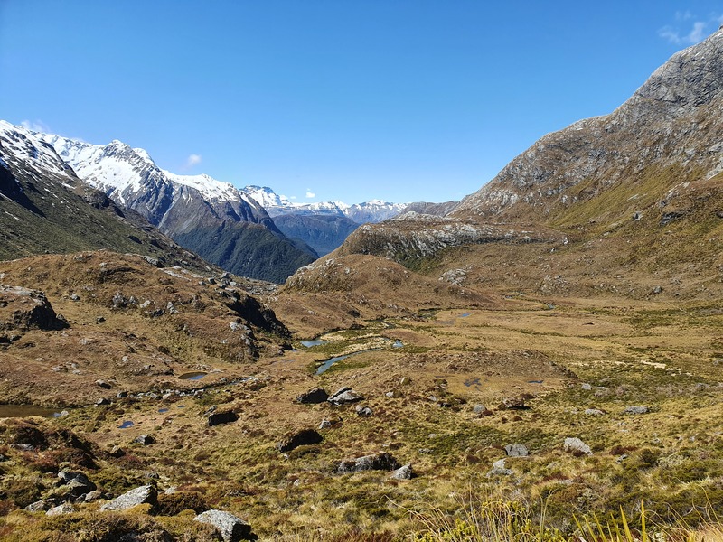
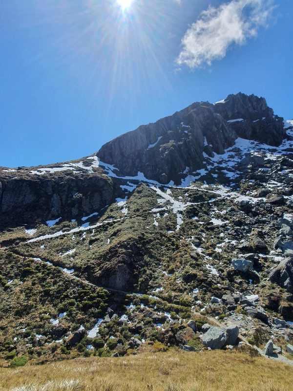
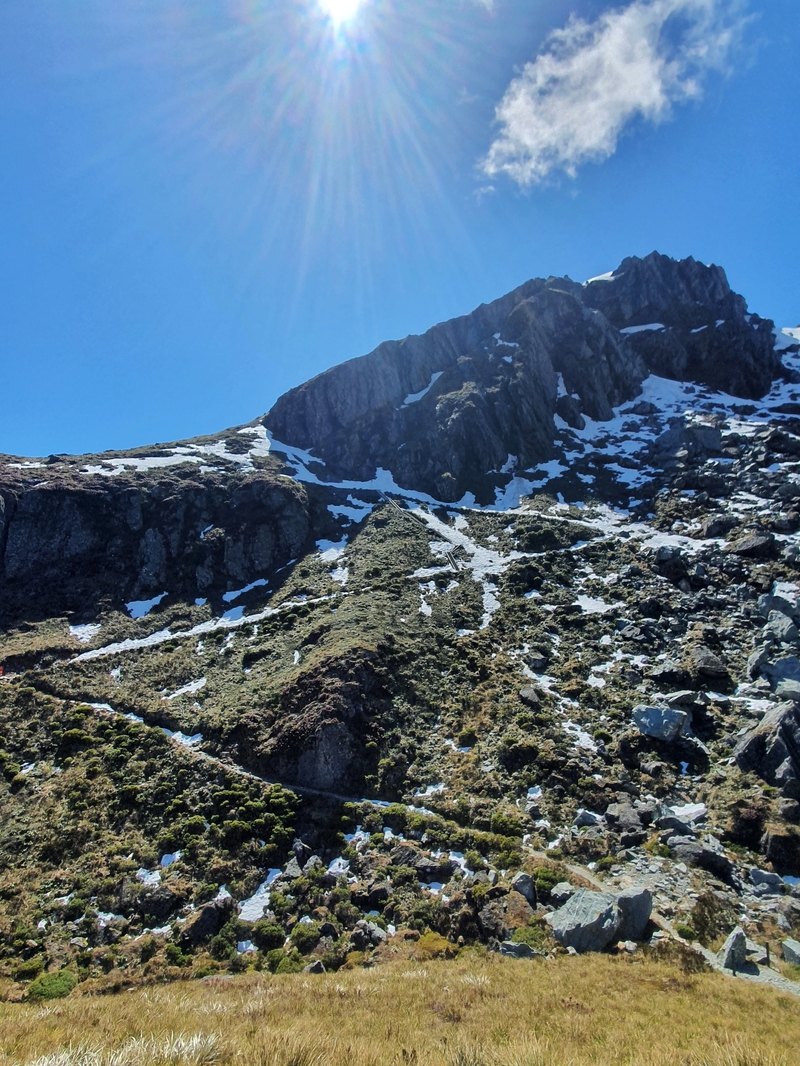
As I mentioned earlier, this is my favourite of the Great Walks. The variety and views you get in just over 30km are pretty spectacular!
If you have any questions leave a comment below or email jub@churnewzealand.com.

Hey, it’s Jub here. I’m the guy behind Chur New Zealand, helping you have the best time hiking, trekking, walking…whatever you want to call it…in NZ. I’m based in Queenstown and am always out and about exploring trails, old & new. If you have any questions, reach out.

Comment *
Thank you for the detailed introduction to the Routeburn Track. Our plan is to start from the
Shelter late in the day, spend a night at Falls Hut, then head to Conical Hill and return to the
Shelter due to needing to drive a rental car.
On the other hand, we’re a bit disappointed that we’ll miss the scenery from Divide to Falls Hut.
Would you say the views on that section are worth it, even if it costs extra?
Hey mate,
That seems like a reasonable plan to me! Provided you get epic views from Conical Hill you won’t be missing out too much imo. It’s great up there!
CHeers,
Jub
Hi, thank you for all your amazing info! I am just wondering how one can combine the Greenstone Caples with the Routeburn so it makes a loop. We are a family and organizing transport seems tricky. May I ask if you have any experience with this, please?
Hey Martin,
Thanks for the kind words. For the Greenstone/Capleses and Routeburn…will you have a car at one end? If so, you could hitch back to the carpark and drive back to the trailhead. Otherwise, give TrackNet a call, they could relocate the car for ya! Or post in the FB group ‘Routeburn Runners’, someone might be able to help out.
Cheers,
Jub