The Onepoto Loop Track is a 6-7km loop track in Whitireia Park, close to Porirua.
The track has less than 100 metres of elevation, so it’s an easy walk with some nice views, like many of the other Porirua walks.
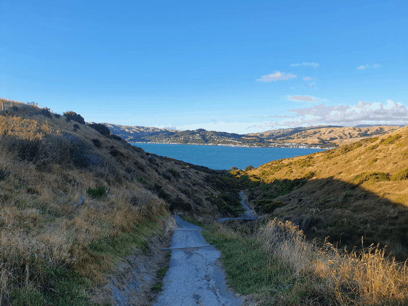
This post will give you all the details (with photos) about the Onepoto Walk near Porirua. I’ll talk about the loop going in the clockwise direction.
TABLE OF CONTENTS
1. Details about the Onepoto Loop Track
2. Onepoto Loop Track Map
3. How To Get To The Trailhead
4. My Onepoto Loop Track Experience
DETAILS ABOUT THE ONEPOTO LOOP TRACK
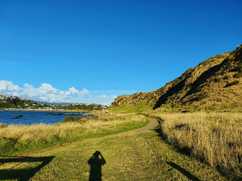
When1: Most recently March 2021.
Difficulty2: Easy.
Hike Distance3: Strava always gives me a different value, but about 6.5-7km.
Incline4: I register about 60-70 metres of elevation, all of which is on one part of the loop. It doesn’t matter which way you go around the loop given the minimal elevation.
Hike Duration5: It takes me about 1 hour 20 minutes. It shouldn’t take you longer than two hours of total walking time.
ONEPOTO LOOP TRACK MAP
The map above is a GPX file overlaid on a topo map. You can see the track on both Google Maps and Maps.me.
That said, you won’t need a map to navigate this walk once you’ve seen the above and know roughly which way you’re heading.
HOW TO GET TO THE TRAILHEAD
The main trailhead for the Onepoto Loop Track is next to the Titahi Bay Boating Club. Alternatively, you could park here at the end of Whitireia Road.
That said, most people and this post will start from the main trailhead. You can get there by car and/or public transport. If you want to walk it’s ~4km from Porirua Station.
Public Transport: From Porirua Train Station you can catch the bus #220 to the Titahi Bay Boating Club from where the walk starts. The bus ride takes ~20 minutes. You can view the timetable here.
Drive: It’s an easy drive out to the trailhead with a large car park next to the trailhead. From Porirua, it’ll take less than 10 minutes. From Wellington, it’s an ~25km drive that’ll take 25-30 minutes.
MY ONEPOTO LOOP TRACK EXPERIENCE
Starting from the car park walking along the last couple of hundred metres of pavement I love the colourful buildings on the water’s edge.
And then you’re on the track. You’ll be hugging the coastline with a bush-clad slope next to you. The track isn’t perfectly smooth, but it’s not technical at all.
You’ll be following the track for about 1km until you get to the junction where the loop is. From people I’ve been talked to, there’s no one particular way most people go.
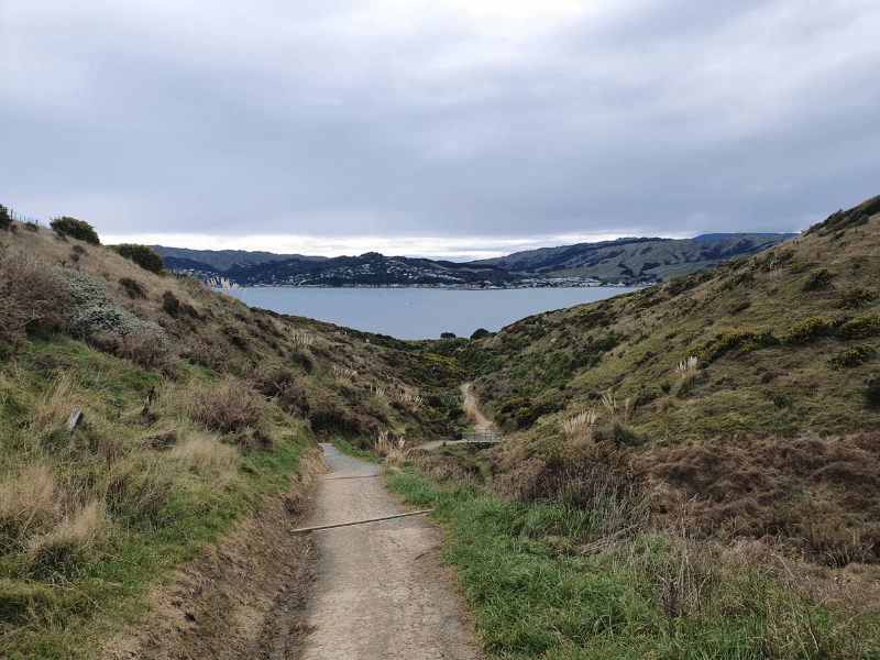
I prefer to go clockwise (left) and take the more gradual incline up the hill and the ‘steep’ route down the stairs. Though as I mentioned earlier, it’s not a decline that’s going to ruin your knees.
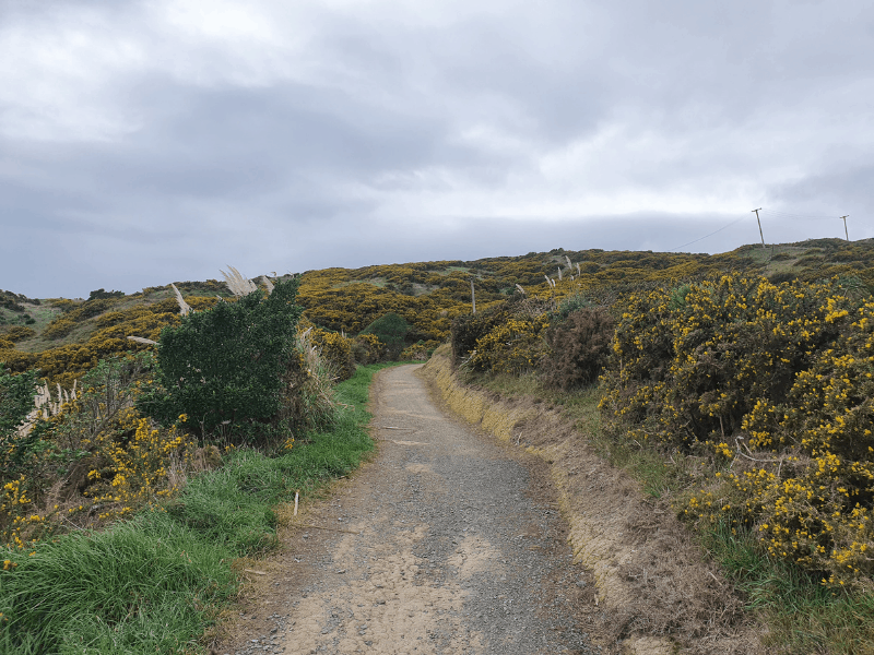
As you turn left, the gradual incline starts right away. The track is wide enough for two people to walk side by side and is a fairly consistent incline.
It’s lined with shrubs on the short side, so if it’s a warm day, bring your sunscreen as there won’t be much shade. Unless you’re there late in the day.
As you get to the top of the hill after 1.3km or so (with about 50 metres of elevation gain) you’ll see Titahi Golf Course on your left and Colonial Knob behind you.
The views are nice, but not what would get 1000’s of like on Instagram kind of thing (can’t believe I just said that).
The descent down the stairs takes you to the coastline, and once you’re at the bottom head right along the coastline.

From here you’ll hug the coastline for the next 3km in and around the small bays. At low tide, it looks like Paremata across the bay is close enough to jump across (it’s but you still can’t cross safely).
Given it’s a flat walk along an actual track this is a great walk to do with friends while you have catchups. You’ll take in some nice views while not needing to concentrate at all.
After about 3kms, you get back to the junction where you turned left for the clockwise loop.
Make sure to turn left again and return back to the car park for the final kilometre. And then you’re done 🙂
The Onepoto Loop Track is a nifty little track that locals love. While this is a great walk for families, those looking for an adventure will be better off taking on a tougher Wellington walk.
If you’ve got any comments or questions about the Onepoto Loop Walk, drop a comment below or email jub@churnewzealand.com
RECOMMENDED READING
The Pukerua Bay to Plimmerton walk
An awesome coastal walk between the two suburbs.
The Colonial Knob Walk
An awesome walk with views 360 views from the summit.

Hey, it’s Jub here. I’m the guy behind Chur New Zealand, helping you have the best time hiking, trekking, walking…whatever you want to call it…in NZ. I’m based in Queenstown and am always out and about exploring trails, old & new. If you have any questions, reach out.

There is a detour one can take either from the top of the loop next to the golf course or about 100m past the gradual loop start if you continue past on an anticlockwise course. It takes you right over the top where there’s a trig and views that will get you instagram likes. It’s quite a bit steeper and higher elevation but well worth it.
Hey Mcorla,
Thanks for pointing that out. I’ll get some pictures when I get up that way next!
Enjoy looping 🙂
Cheers, JUb