The Makarora Hut at the end of the Makarora Valley Track is a hidden wee gem down the road from Brewster Hut…but with far fewer hikers.
That said, the hike has lots of variety with a waterfall, rivers, forest, open valleys and glaciers…it’s all magic.
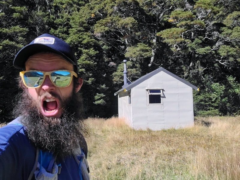
It works as a great overnight adventure, or a long day hike best done in summer.
Note: The DOC and official name of this track is the Makarora Valley Track, but most people refer to it as the Makarora Hut Track.
This post will give you all the details you need to know about hiking to Makarora Hut, an underrated hike in Mount Aspiring National Park.
TABLE OF CONTENTS
1. Makarora Hut Track Details
2. Makarora Valley Track Map
3. How To Get There
4. My Makarora Valley Track Experience
1. MAKARORA HUT TRACK DETAILS
QUICK DETAILS:
- Difficulty: Medium to hard
- Distance: 22 – 23km return
- Time: 3 to 5 hours each way
- Download GPX File here
How hard is the Makarora Hut Track?
I’m going to put it in the medium to hard basket, and it’ll definitely be in the hard basket for some. It’s a track you’ll want to have good weather for. There’s enough technicality, and a little bit of route finding involved to keep everyone honest and feel like they’ve earned their trip to the hut.
I saw one couple who were planning to hike in and out in a day who had turned back early as it was more technical than they expected.
What distance is the Makarora Hut Track?
On the DOC website it says 10.5km. But the official Makarora Valley Track doesn’t go all the way to the hut (I’m not sure what the story is there).
My Strava came in at just over 11km to the hut, as once you get onto the river flats, you are left to choose your own best route to the hut.
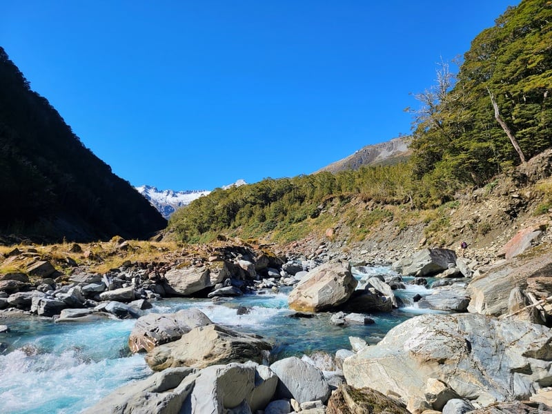
Provided it’s sunny weather with no recent rain, there are zero issues going through the river here as you can see the hut from 2km or so away.
What is the elevation gain of the Makarora Hut Track?
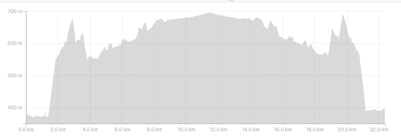
My Strava gave a total elevation gain to the hut and back as 1053 metres. About 700 of that was on the way to the hut.
Here’s the elevation profile:
How long does it take to hike to Makarora Hut?
The DOC sign at the trailhead says 7 hours. That’s a long time to cover 10km or so. For those who are really cruising you could take 7 hours…but 3 to 5 hours is much more realistic.
Is this a good track in winter and/or bad weather conditions?
You can hike to the hut in winter, but be prepared to turn around if the river level is too high from snow melt etc.
I’d avoid hiking here in the rain as you do need to hike next to the river at times, and it’s just a risk you don’t need to take. At worst, be prepared to turn around.
Are there any good day trip destinations on the track?
Most people would prefer heading to the Blue Pools as a day walk, but walking to Steward Falls as an out and back is lovely. The distance is about 1.2km from the track trailhead, so a short walk!
You can walk out and back the full trail in a day, the hut is gorgeous but it’s a pretty long day.
Is Makarora Hut nice?
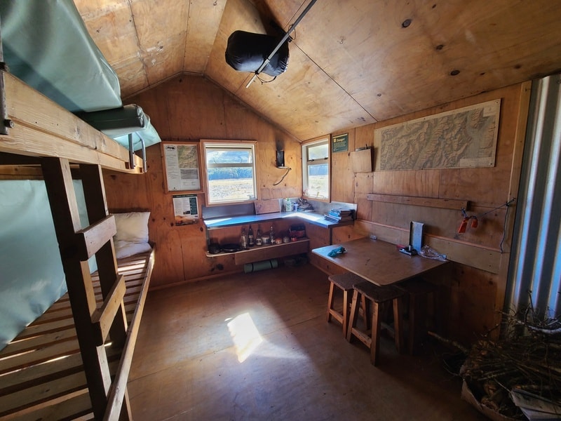
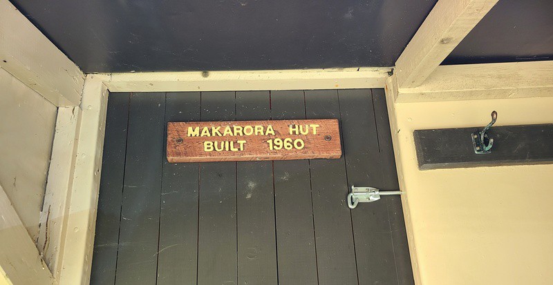
It is! Built in 1960 it’s a standard 4 bunk hut that is not full very often, even in summer (perhaps still take a tent?), but it’s first come first served.
The DOC hut ticket price is:
- Adult (18+): $10/night
- Youth (5–17): $5/night
- Child/Infant (0–4 years): free
2. MAKARORA TRACK MAP
Clicking on the image below will open the map with GPX route in a new window. You can download the GPX file here.
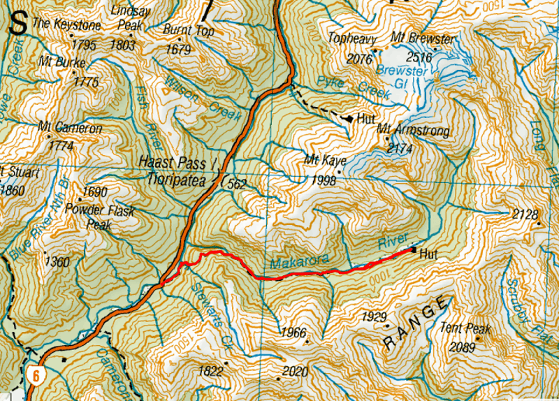
The map above is my GPX route overlaid on a topomap.co.nz map. Once you zoom in, you’ll see a couple of spots where I took the wrong turn before correcting myself.
3. HOW TO GET THERE
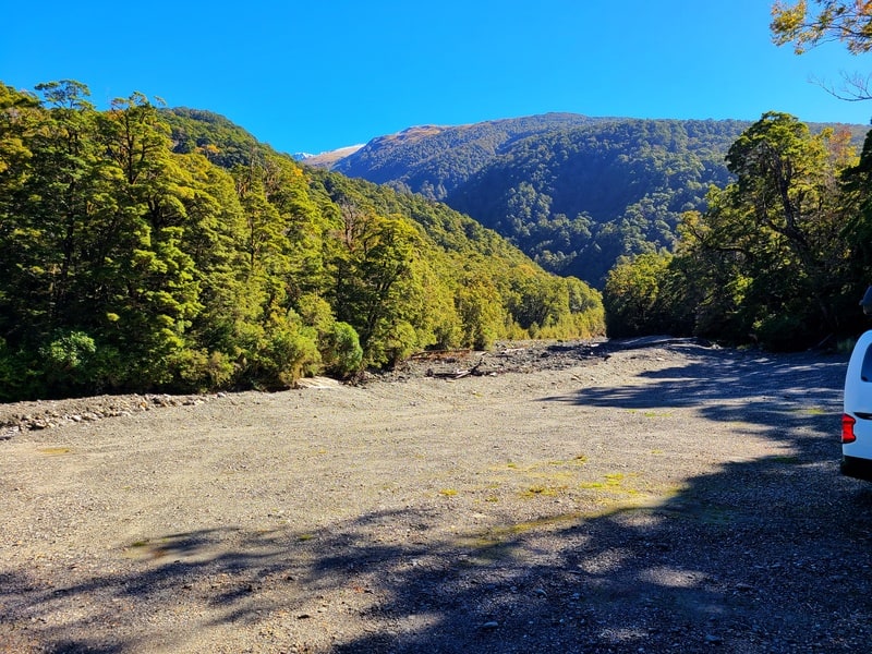
The easiest way to get to the trailhead is by car. But you could book a hiking shuttle and/or hitchhike there too.
The carpark is a bit sneaky, as it’s located here, just after a narrow bridge on the western side of the road. Be careful pulling into the carpark. You’ll then need to walk back over the bridge to the trail which needs to be done super carefully too.
In terms of location, it’s about 1 hour to get from both Wanaka and Haast. And it’s less than 10km south of the Brewster carpark.
4. MY MAKARORA HUT EXPERIENCE
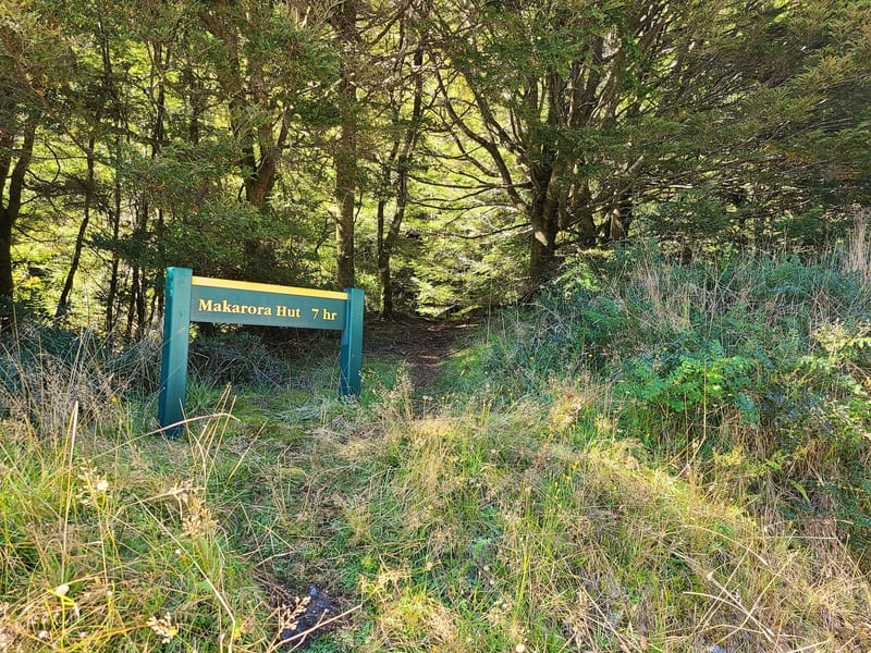
Having heard little about the Makarora Valley Track, I went in to find some friends who were staying at Makarora Hut the previous night.
The trailhead does start in a random position, on the otherside of a one lane bridge from the carpark. Be careful crossing the bridge!
There’s a creek crossing seconds after starting the track…if you’re clever, you’ll be able to avoid getting your feet wet. Beyond that, you’re in for a relatively quick 1km or so until you reach Steward Falls.
I came across a couple of bogs and a little bit of treefall, but nothing technical. You’ll get a glimpse of the Makarora River in a couple of spots too.
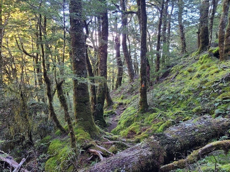
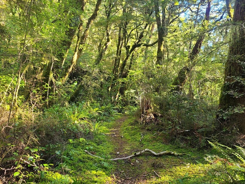
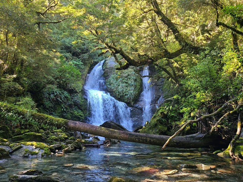
Then you’ll drop down into Steward Falls…if you look at my GPX file closely, you’ll see the turnoff I missed.
It’s a short steep drop down to the falls and you’ll cross the river. Provided it hasn’t been raining, it’ll be less than knee deep. But don’t be afraid to turn around if it’s deep and flowing fast.
On the otherside of the river, you’ve got a steady climb for the next couple of kilometres that has no shortage of tree roots ready to trip the lazy hiker who doesn’t pick up their feet.
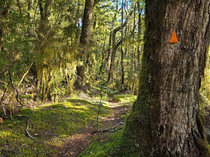
It’s a beautiful green forest, with the path winding through the forest…but there’s plenty of orange triangles, and the trail is used enough you won’t have any issues finding the way.
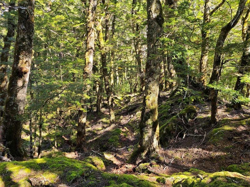
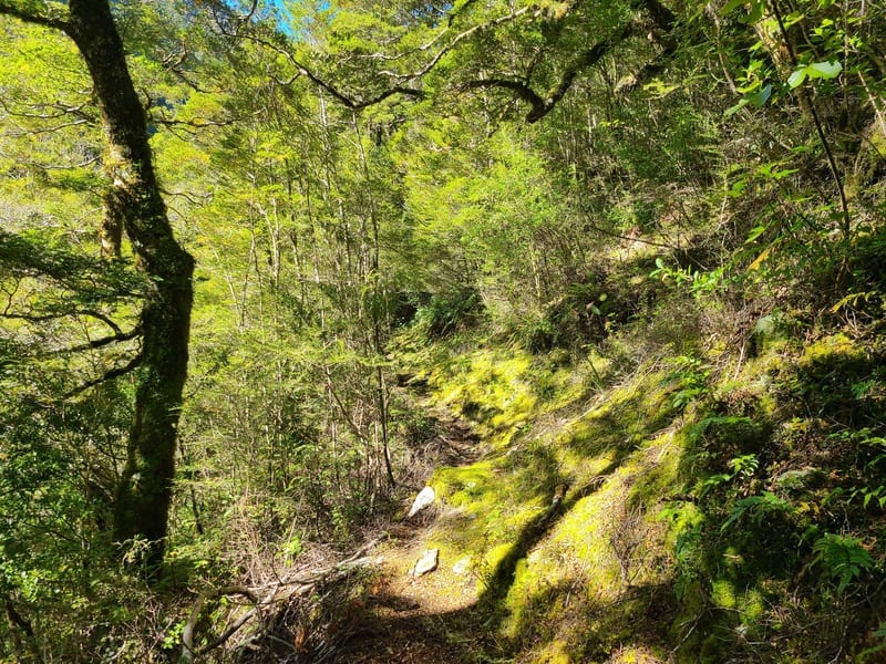
And then you find yourself heading back down towards the river, which does involve a couple of hairy bits…including coming down what appears to be a slip or a dry waterfall? Keep an eye out for the orange triangles and you’ll be right.
Once on the river, I was a little bit confused at times you’re essentially be walking on the river bed.
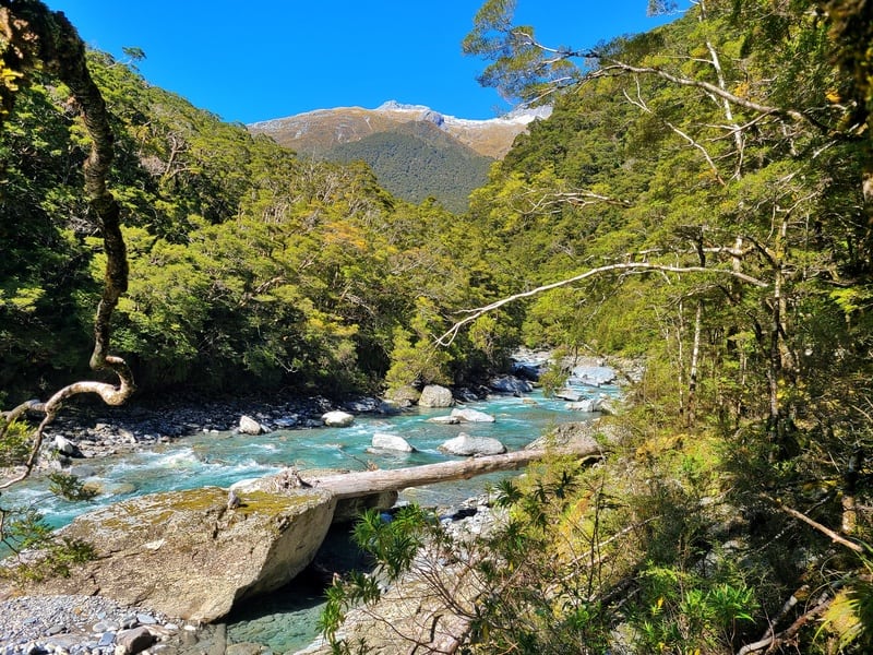
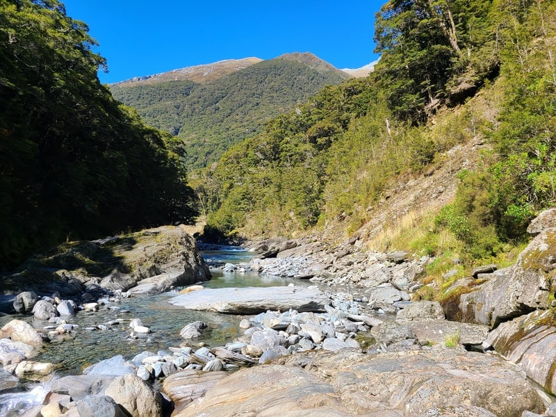
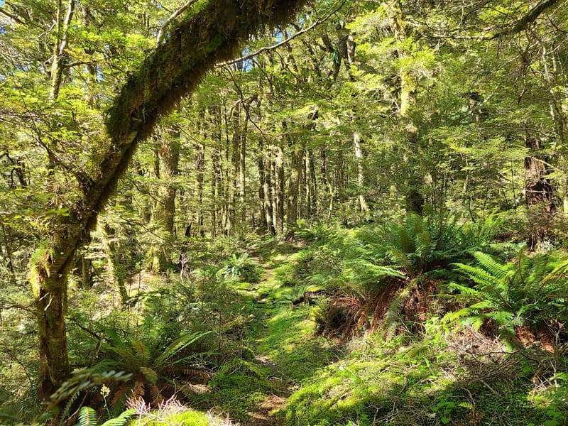
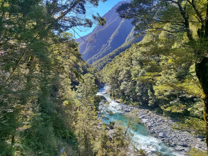
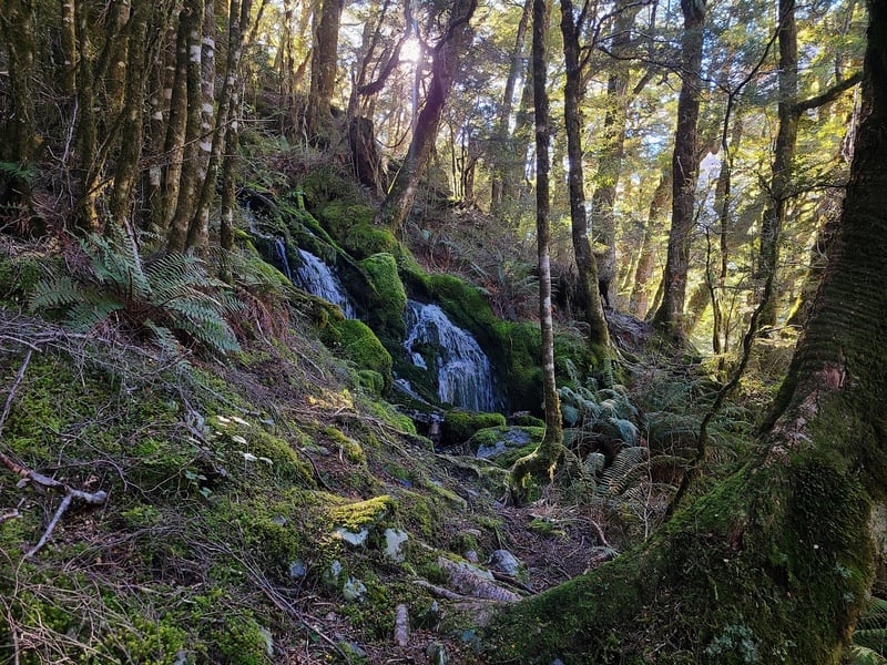
But from just before the 4km mark to the hut, you’ll be following the riverbed so as long as you don’t venture far from there you’ll be on track. It does dive up into the forest a fair bit, but again there’s enough triangles so you can’t go wrong. If you don’t see any, just stick to the riverbed and you’ll come across one again.
Note, I didn’t need to get wet feet until I was approaching the hut. If the river is high, you might need to wade a little bit. Again, if you’re not confident, turn around. It’s a better hike in dry weather.
Eventually you can see the hut, but you’re still 2km away! The DOC track ends as I mentioned earlier, so beeline towards the hut on the line that looks best to you. When I crossed the river, it was barely more than ankle deep so it was nice to stroll up the river.
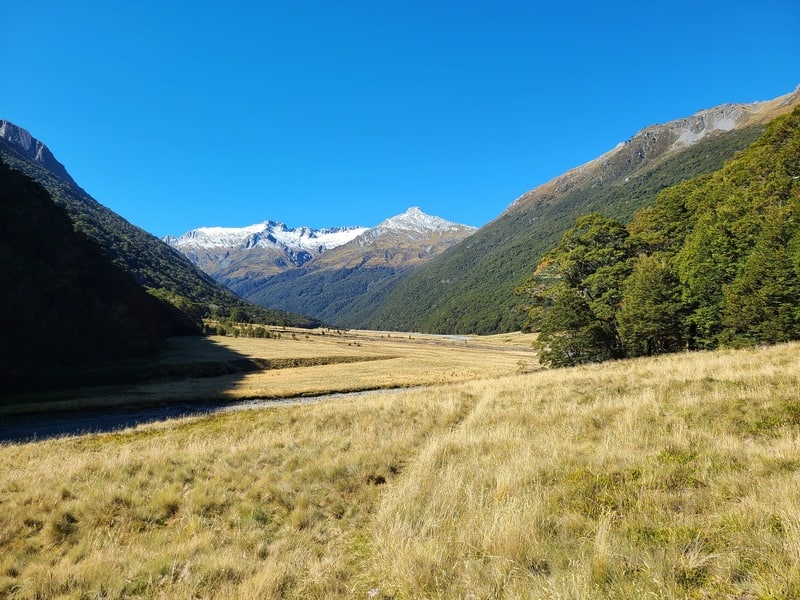
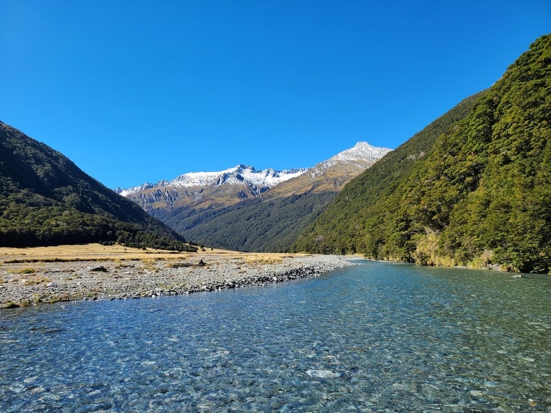
It took longer to get to the hut than I thought at the end! But it’s awesome with the glaciers coming into view.
Arriving at the hut, there’s a cool sitting area and you’ll likely have the hut to yourself which is always nice.
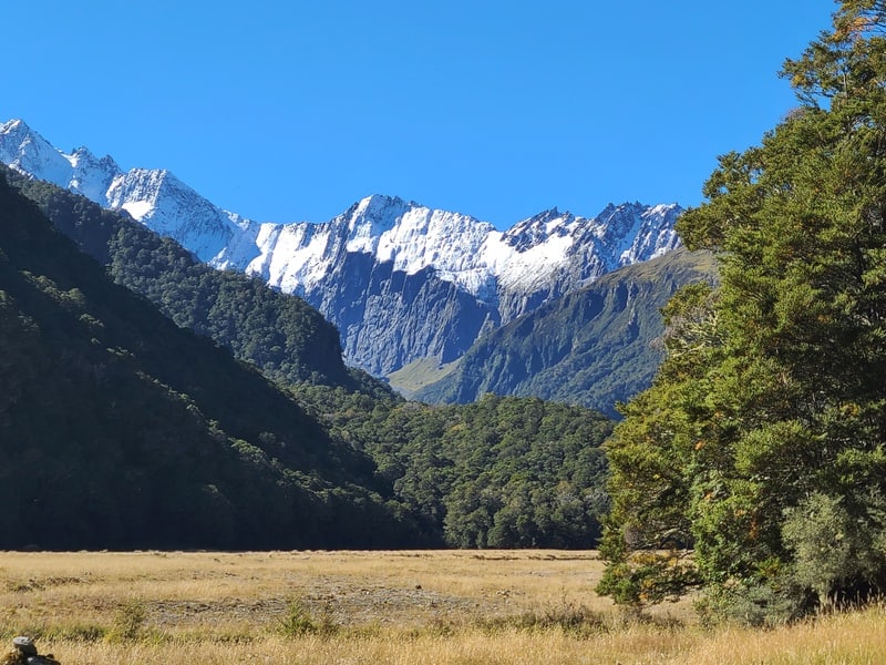
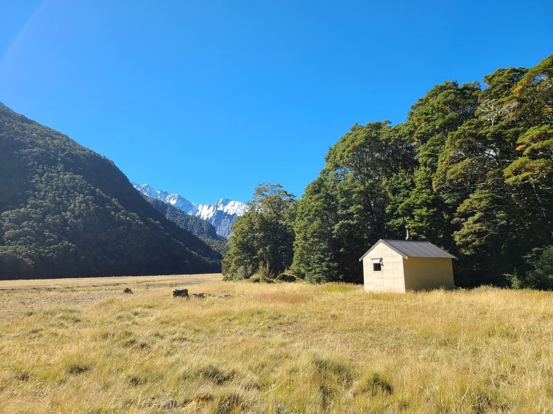
If you’re doing this in a day, the return trip won’t be that much quicker once fatigue has been factored in. It’s technical enough where the downhill and uphill speeds don’t vary too much.
If you’re here overnight, go explore a bit further up beyond the valley. It’s a treat!
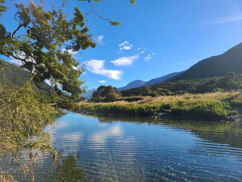
The return trip is easier, but not by much as it’s technical enough where you won’t go that much faster on the descents. I also nearly took a wrong turn a couple of times, but quickly found myself back on track.
Note: doing this hike in the dark wouldn’t be the most fun…so if you’re day tripping, leave yourself lots of time.
If you’re looking for a hut that’s off the beaten path, on a track that’s got a bit of everything but is totally worth it, hike the Makarora Hut Track!
If you’ve got any tips, comments, and/or questions about this route, send an email to jub@churnewzealand.com or leave a message below.
Chur,
Jub
p.s. you can find all the hikes I’ve documented in this map (clicking on the icons will provide more info):

Hey, it’s Jub here. I’m the guy behind Chur New Zealand, helping you have the best time hiking, trekking, walking…whatever you want to call it…in NZ. I’m based in Queenstown and am always out and about exploring trails, old & new. If you have any questions, reach out.

Hi Jub do you do escorted trips into these awesome valleys/tracks?
Hey Annette,
Not at this point in time, but am considering it for the future 🙂
Send me a message on Whatsapp if you’d potentially want to be a guinea pig! +64 20 4170 2764
Cheers,
Jub