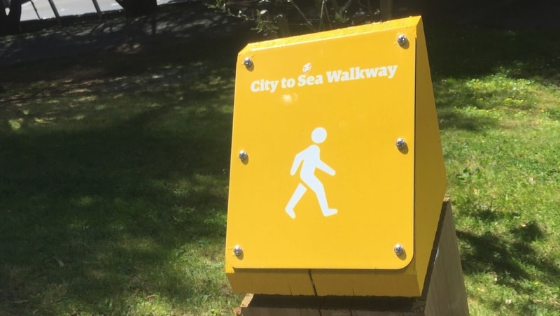
The City to Sea Walkway is a ~14km one-way walk from the city to the sea (rocket science), specifically Island Bay.
On the way, you’ll see Botanic Gardens, green spaces, and a couple of cemeteries (not creepy), and more.
Afterward, you can:
- hang out on the coastline
- jump on a bus back to the CBD
- or for the super keen, walk back to the city via the Southern Walkway
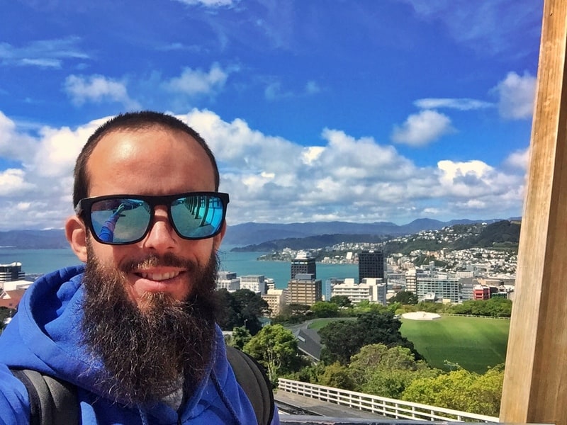
TABLE OF CONTENTS
1. City To Sea Walkway Details
2. City To Sea Map
3. How To Get There
4. My City To Sea Trip Report
DETAILS ABOUT THE CITY TO SEA WALKWAY
Given this is an urban walk, it’s pretty impressive. You’ll end up at some super random spots you usually don’t see on a list of things to do in Wellington.
There’s a few good views throughout, but it’s more the surroundings you’re here for. On the way you’ll see:
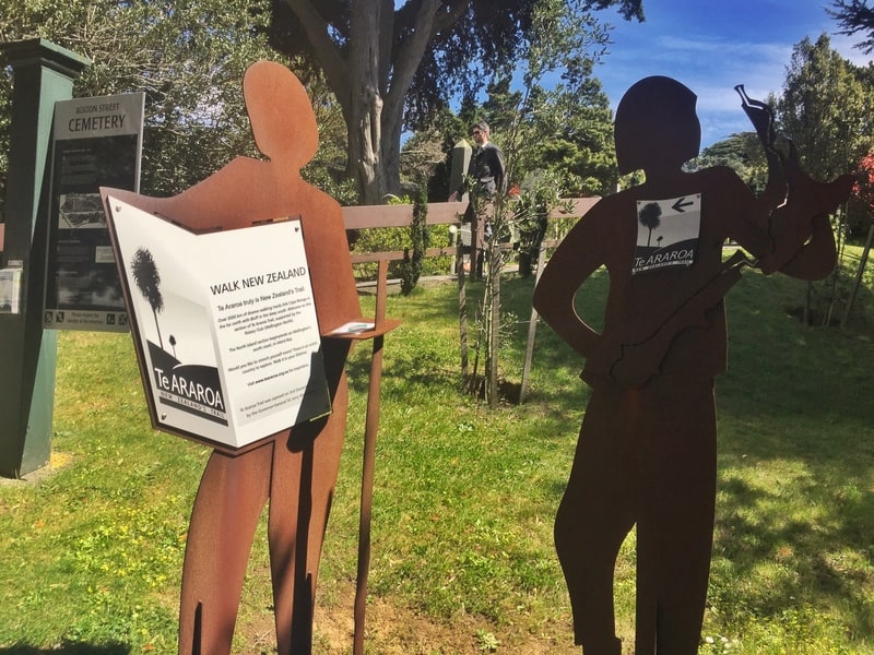
- Bolton Street and Mount Street cemeteries (historic)
- The Botanic Gardens
- Cable Car Museum
- Te Aro Village (visit Garage Project Taproom)
- Victoria Uni
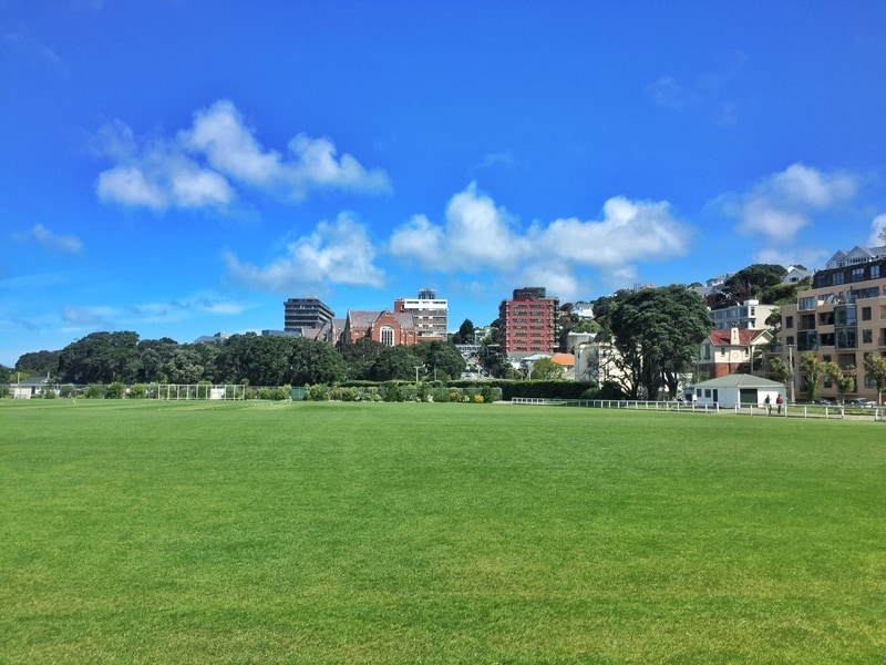
- Berhampore Golf Course
- Green spaces including Brooklyn Park, Tawatawa Reserve, Macalister Park, and Central Park
And as you’re not way out in the middle of nowhere, it’s easy to leave the trail and head back into the city whenever you want before planning your next Wellington walk/hike.
How long is the City to Sea Walkway?
12km according to the brochures. I didn’t track the walk, but 12km feels about right.
How hard is the walk?
Easy-medium. There are a few steep sections but they’re more of the short and sharp variety. There’s plenty of rolling terrain though. You’re always on good tracks/paths, so it’s not technical or anything.
What is the elevation profile of the walk? According to my Strava data, it’s about 600 metres which is quite a lot for a walk this close to the city.
How long does the City to Sea hike take?
It took me 4 hours and 30 minutes to complete. This is quite a long mission for 14 kilometres, but there’s plenty to stop and see on the way. You could even take 6 hours to complete it as the trailhead signs suggest…that’s going to be on the slower side though.
CITY TO SEA WALK MAP
You can’t get the full map on Google Maps, and there’s plenty of sections of the route that aren’t marked. With that said, I’ve attempted to give a rough idea of the route here on Google Maps.
Also, make sure to have the Government brochure loaded which has the route on it. The map isn’t easy to follow but in combination with the map link above will ensure you don’t get lost.
Not that you will, there are lots of yellow trail markers.
RELATED POST: THE BEST SIM CARD FOR TRAVELLERS TO NEW ZEALAND
HOW TO GET TO THE CITY TO SEA WALKWAY
This is basically the city end trail head
It’s called the City to Sea Walkway, but you can start the walk from either end.
FROM THE CITY
The city end trailhead starts here at Bolton Street Cemetery. It’s a few minute’s walk from Parliament at the Railway Station end of the city.
FROM THE SEA
The trailhead at the southern end of the walk is at Shorland Park, right here. You can reach this point by catching the #1 bus from the city. It runs frequently so you’ll never need to wait long, here’s #1 bus timetable here (or you can catch a Ola, YourRide, or Uber).
MY CITY TO SEA WALKWAY WELLINGTON EXPERIENCE
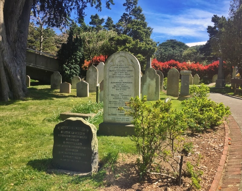
Bolton Street Cemetery
I walked in the city to sea direction.
After taking a tour of parliament (the beehive), I wandered over to the Bolton Street Cemetery and found the first trail marker. I’d never been through this cemetery and was quietly surprised…it’s the oldest in the city, and has plenty of information about the people buried here dating back to 1840. You can even arrange for a cemetery tour 😮 .
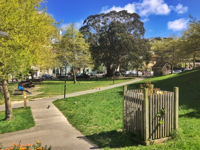
Te Aro Park which you’ll walk through briefly
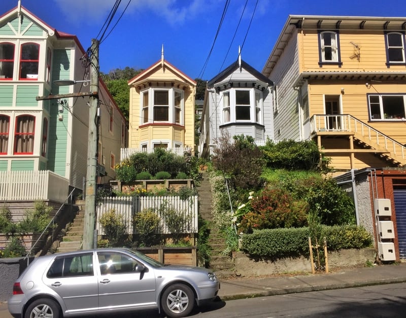
Houses in Aro Village…possibly student flats.
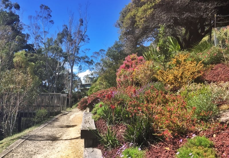
Walking through the Botanic Gardens
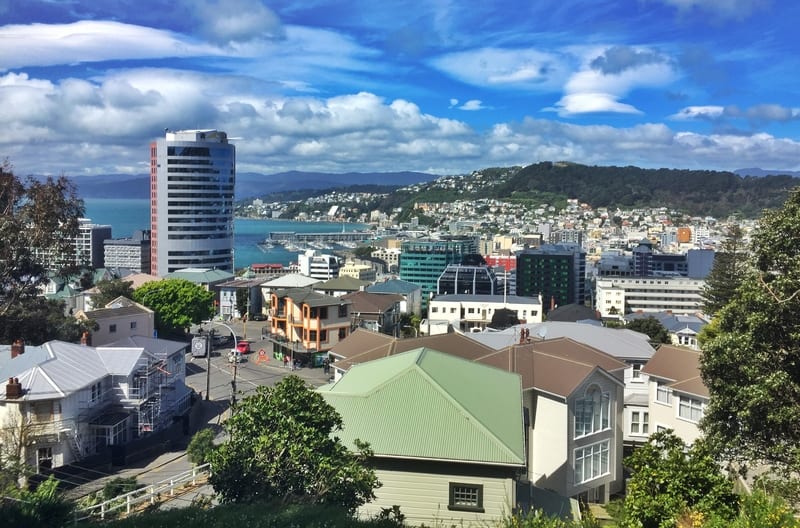
Exiting the cemetery, you’re straight into the Botanic Gardens which is as an attraction you could easily spend a couple of hours at if you wanted. There are various pathways to get to the top of the Cable Car, so don’t be fussed about your route as long as you work towards the Cable Car/Observatory. When you get there, you’ve got the epic view you saw at the top of the post.
From Kelburn Park looking towards the University (there’s a toilet block at the park)
The view from the Mount Street Cemetery isn’t so bad!
Now you’ve got to make your way to Kelburn Park which leads to Victoria University of Wellington. Next up, the Uni. It’s not like the beautiful Universities you see in the USA but it’s nice enough to walk through and thankfully you don’t need to walk all the way up Mount Street to reach the Mount Street Cemetery.
After leaving the Uni grounds, it’s a suburban walk over to Aro Village, one of the more hipster suburbs in Wellington. If you’re thirsty, definitely stop by the Garage Project Taproom.
Brooklyn Park, stunning!
From here, you’ve got another climb up to Central Park which I’d never been too before. It’s a nice quiet green space. I’d have definitely spent more time here when I was at Uni had I known it existed. Then it’s over to Brooklyn Park which is even better. While you can walk on the main tracks I suggest following the narrower trails.
Over too more green spaces including MacAlister Park…you do need to cross a few roads, but they shouldn’t be too busy. For a capital city, they’ve done so well with making sure people don’t go building everywhere.
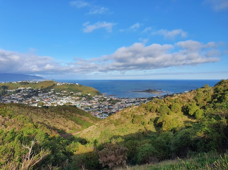
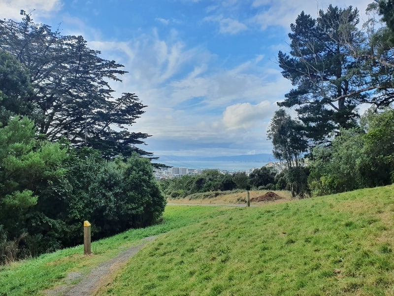
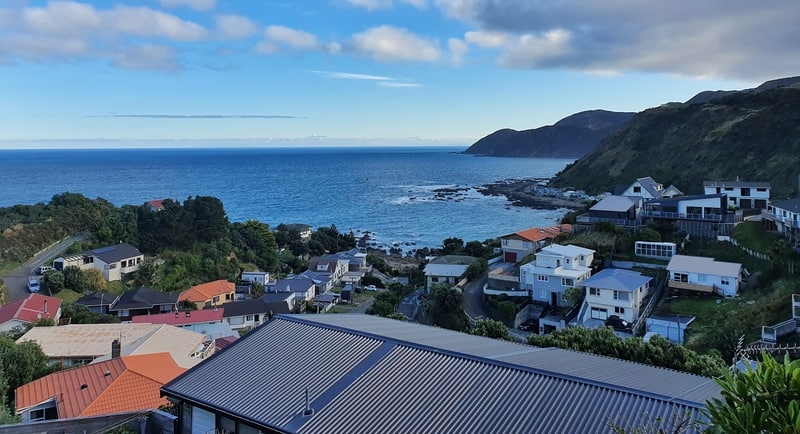
Walking across Berhampore Golf Course is weird, but the golfers know it’s normal so just keep an eye out for any stray balls and you can look forward to the views as your walk up the tracks up to Tawatawa Reserve. From here you’ll get views of the southern coast which varies dramatically but is always awesome (fingers crossed you aren’t walking into a southerly). Now it’s just a matter of making your way back down to the finish at Shorland Park.
Once here, take in the epic views! Fingers crossed you’re walking the City to Sea on a nice day.
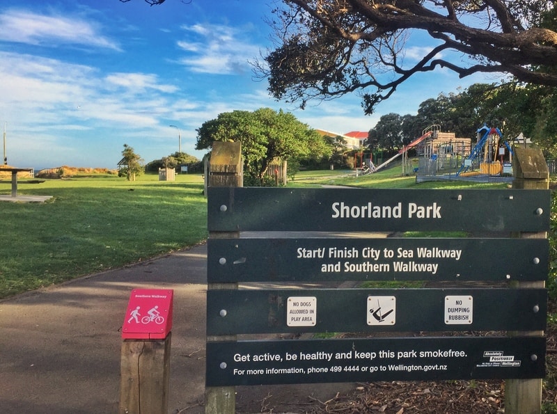
Sea end trailhead
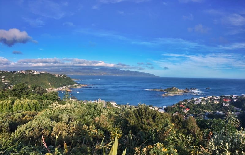
The views towards the end look out over the Cook Strait
It really is a great walk! If you’ve got any questions or reports on the walk, let everyone know in the comments below, or email jub@churnewzealand.com.
Chur.
p.s. Here’s a map of all the hikes documented on Chur New Zealand. You can click the icon to see brief details, as well as a link to read more about the hike (like this post).

Hey, it’s Jub here. I’m the guy behind Chur New Zealand, helping you have the best time hiking, trekking, walking…whatever you want to call it…in NZ. I’m based in Queenstown and am always out and about exploring trails, old & new. If you have any questions, reach out.