At ~6km long, the Chalkies Track loop is a nice hike with a good amount of variety and views in the Silverstream area. It’s not an easy hike, and one best done in dry conditions.
I was happily surprised by how much I enjoyed it.
This post will give you all the details you need to know about Chalkies Track, less than 30 minutes from the centre of Dunedin (in North Taieri).
TABLE OF CONTENTS
1. Chalkies Track Details & FAQ
2. Chalkies Track Map
3. How To Get There
4. My Chalkies Track Experience
1. CHALKIES TRACK DETAILS & FAQ
QUICK DETAILS
- Difficulty: Medium
- Distance: ~6km
- Time: 90 minutes to 2.5 hours
- Download GPX File Here
How hard is the Chalkies Track hike?
For a 6km hike, it’s not easy…even DOC mentions it’s a tramping track rather than a walk or hike. The track is steep in sections, one section even has a rope to assist. If you’ve got all the time in the world you’ll be sweet, but it’s not a quick walk in the park.
What distance is Chalkies Track?
My GPX file works out to be about 6.3km, but the DOC website says 6km. I did go to the trig which is a short detour, so plan for 6 to 6.5km and expect to go a little over.
What is the elevation gain of Chalkies Track?
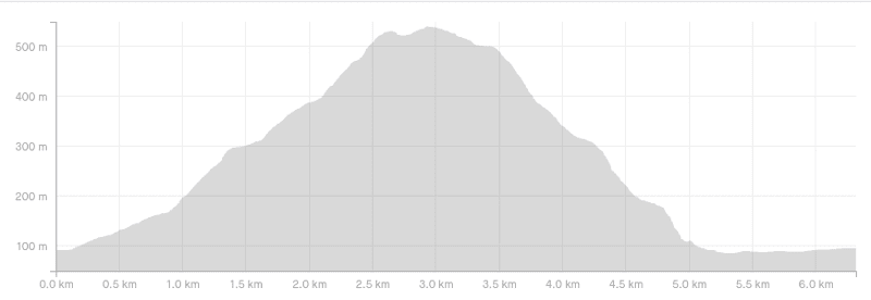
I got 469 metres of elevation gain on the loop. Here’s the elevation profile going in the anti-clockwise direction, starting from the stream crossing:
How long does it take to hike Chalkies Track?
This is tough to predict. It’s not a fast hike, so the 6km will take most people at least 90 minutes and possibly 2.5 hours. If it takes 3.5 hours like the DOC website states, you’ll be having a few picnics!
2. CHALKIES TRACK MAP
*Clicking on the image below will open the map in a new window.
The map below is my GPX file overlaid on a map from topomap.co.nz.
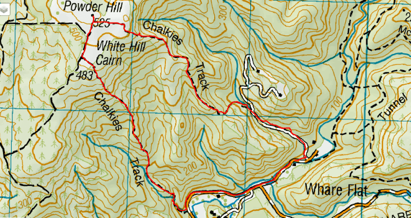
While I always recommend people download and buy this NZ topo map app, the track is marked pretty well and you shouldn’t get lost.
You can also see the route on the Maps.me app.
3. HOW TO GET THERE
The main carpark for Chalkies Track and other Silverstream walks is here on Google Maps.
The only way to get here realistically is to drive, as there’s very little traffic once you turn onto the Silverstream Valley Road.
Distances to carpark:
- Dunedin city centre: 15km
- Mosgiel: 11km
- Dunedin Airport: 27km
4. MY CHALKIES TRACK EXPERIENCE
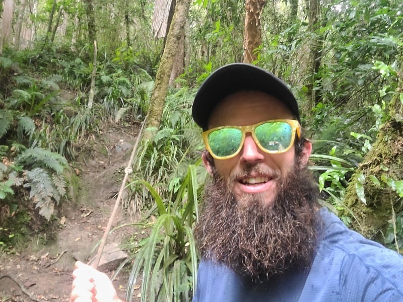
While spending a weekend crewing a friend at an event held in the Silverstream area, I planned to hike a bunch of trails in the area. In the end I only got onto Chalkies Track, but it was a great option.
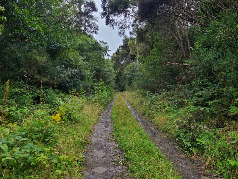
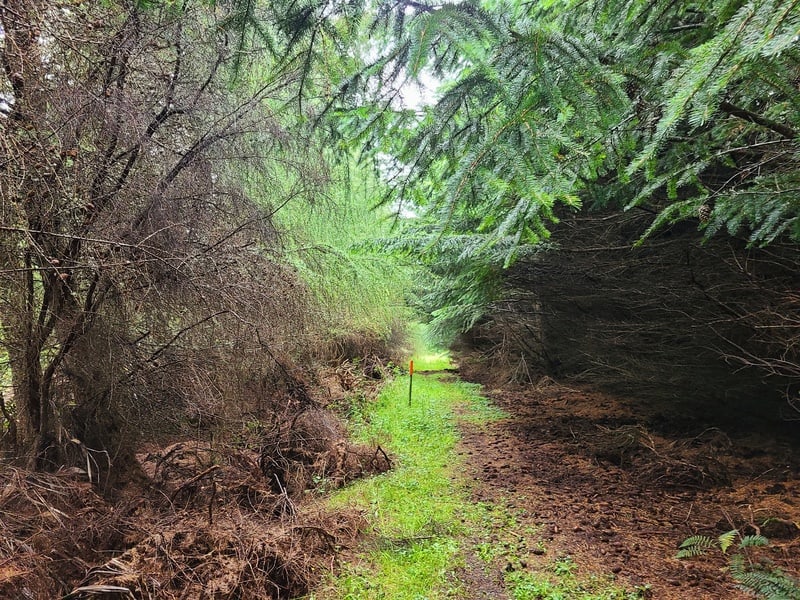
I started a few hundred metres after the locked gate next to the carpark, immediately crossing the stream that you’re following the 4WD track. It’s a smooth track to start with a steady ascent on the 4WD track.
You’ll then see a big green DOC sign that points you left, the road soon becomes a single track and is steep.
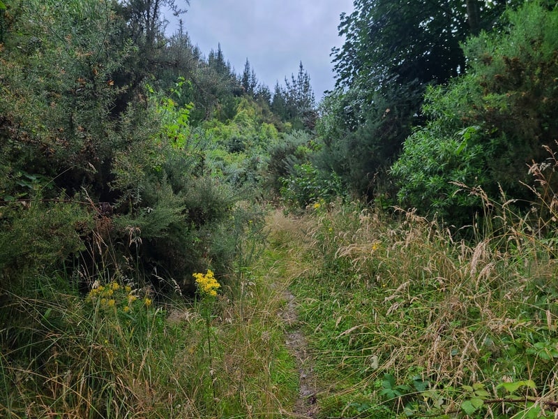
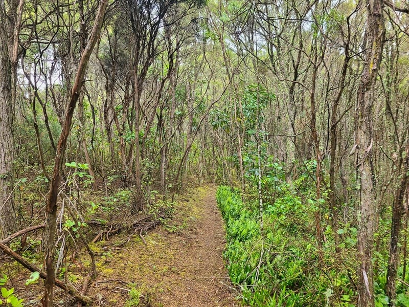
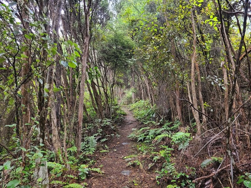
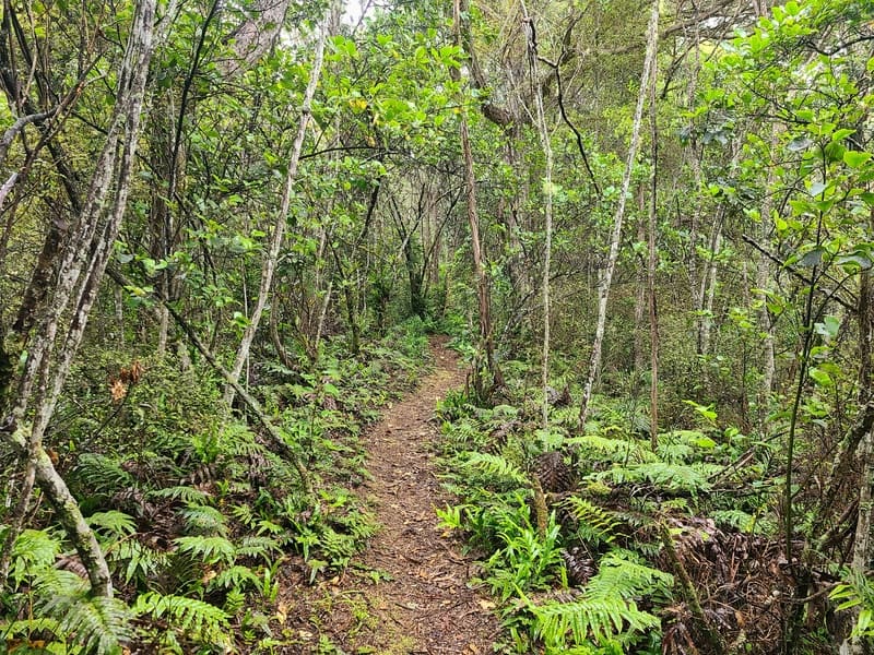
It was overgrown while I was there, with some gorse bushes to keep the legs honest. This 600 metres is steeper than the start, but it eventually flattens out and the scenery changes into a light forest.
This is a beautiful section, and while you may be tempted, don’t follow paths off the main trails onto the sections of private land that are clearly marked.
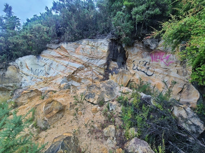
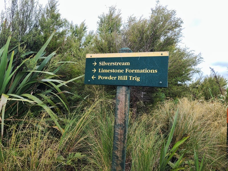
You’ll eventually get to the junction for the limestone formations…which I expected more from if I’m honest (it’s a 15 second detour), but the view from them is lovely. At this point you’ve hiked for 2.3km and have almost finished the uphill.
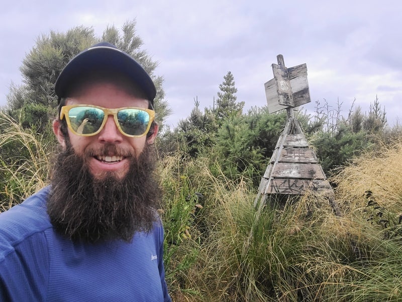
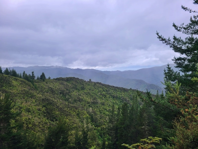
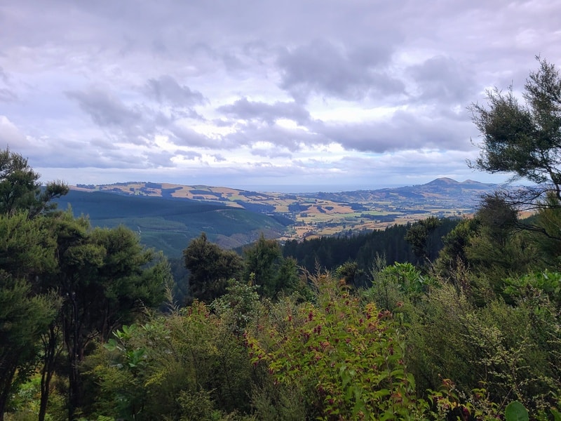
Back on track, we keep chipping away at the rest of the incline where you eventually emerge above the treeline. Where you’ve got a flattish section for 600 metres or so, which includes the detour to Powder Hill trig (I write about trigs here).
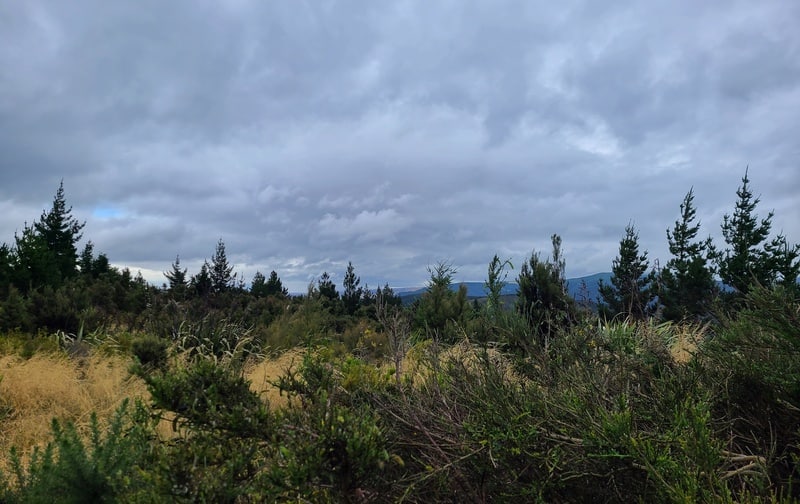
There’s not a massive clearing here that gives you a view, but it’s nice all the same and a totally different environment compared to where you started.
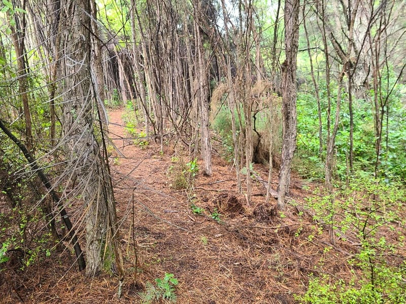
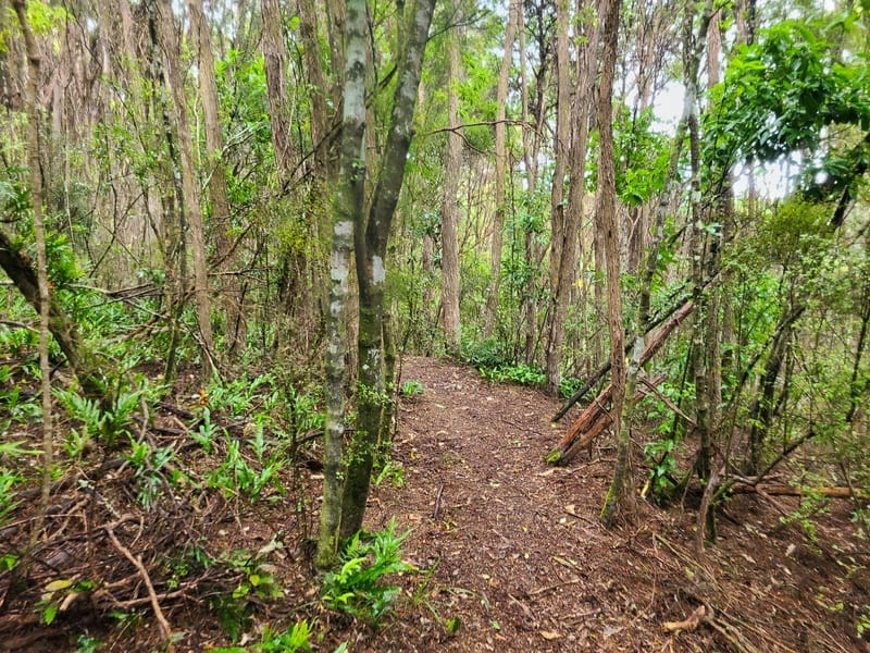
It’s time to start heading down now, and you’ll enter a section of podocarps which is a different scene again which is cool.
Follow the orange triangles and you’ll get into a steeper descent through kanuka/manuka. This is a fun section, albeit tricky on the feet in both dry and wet conditions. You’ll get to steal a few views on the way.
Eventually you’ll get to a point where you’ll see some rope to assist you down, which was nice.
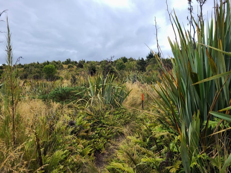
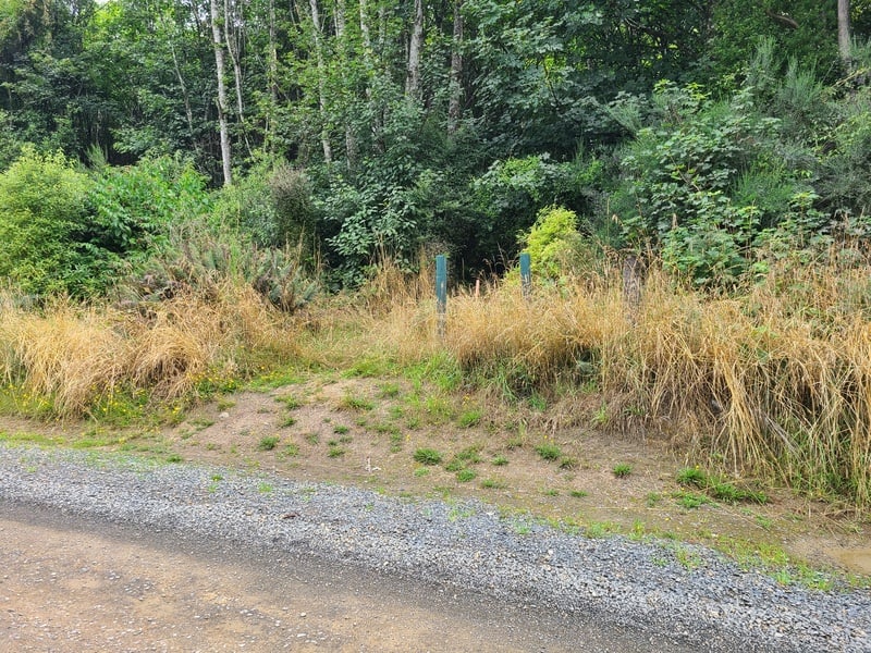
This gets you to Leishmans Creek which you’ll then follow for a couple hundred metres. Then you’ll be spat out at the Southern Entrance to the track off Silverstream Valley Road (I’m not sure what happened to the sign as you can see below).
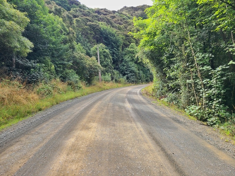
Once you reach the road, turn left and follow the road back to the car. This is a nice little shake out of the legs after a somewhat relentless descent!
And there we go. If you’re spending some time in Dunedin and/or Mosgiel, Chalkies Track might be the hike you’re looking for. It reminds me of the nearby-ish Nichols Falls Track, there’s so much variety in and around Dunedin.
If you have any questions/feedback and what not about Chalkies Track, email jub@churnewzealand.com or leave a message below.
Chur.
p.s. you can find all the hikes I’ve documented in this map (clicking on the icons will provide more info):

Hey, it’s Jub here. I’m the guy behind Chur New Zealand, helping you have the best time hiking, trekking, walking…whatever you want to call it…in NZ. I’m based in Queenstown and am always out and about exploring trails, old & new. If you have any questions, reach out.