If you’re new to the Tararua Ranges and/or hiking Atiwhakatu Hut is a great option to get acquainted with how it all works.
You can do this as a day hike, or as an overnighter…it’s the sample test of what the Tararua Ranges have to offer…and there’s plenty of epic options.
While you can access Atiwhakatu Hut from various routes, I’m going to use the route that’s the most well known starting from the end of Mount Holdsworth Road/campsite/lodge. Note, the hut also part of the popular Mt Holdsworth Jumbo Loop.
TABLE OF CONTENTS
1. Details About Atiwhakatu Hut
2. Atiwhakatu Hut Map
3. How To Get There
4. My Atiwhakatu Hut Experience
1. DETAILS ABOUT ATIWHAKATU HUT HIKE
QUICK DETAILS:
- Distance: ~7km each way
- Elevation Gain: ~230 metres total
- Difficulty: Easy
- Download the GPX File
How hard is the Atiwhakatu Hut route?
It’s a suitable hike for beginners as an overnight hike, and a beginner to intermediate hike if done in a day. The trail is easy to follow, and other than a super short section or two there’s no technical sections to mention.
What makes it intermediate is the distance, if you’re new to longer days.
What distance is the Atiwhakatu Hut mission?
The DOC website states 7.2km, but I got just under 7km on my watch…starting from the carpark.
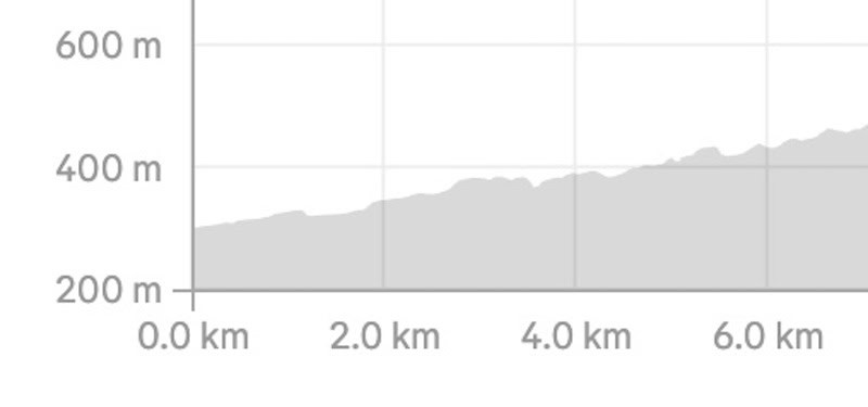
What is the elevation gain of Atiwhakatu Hut?
The elevation profile is rather gentle, with about 180 metres on the way to the hut, and 50ish on the way back.
Here’s a map of the elevation profile:
How long does it take to hike Atiwhakatu Hut?
2 to 3 hours is going to be the ball park for most parties. There’s not exactly lots of views along the way, so you won’t be stop starting all the time. If you were really moving, you can get there in under 2 hours.
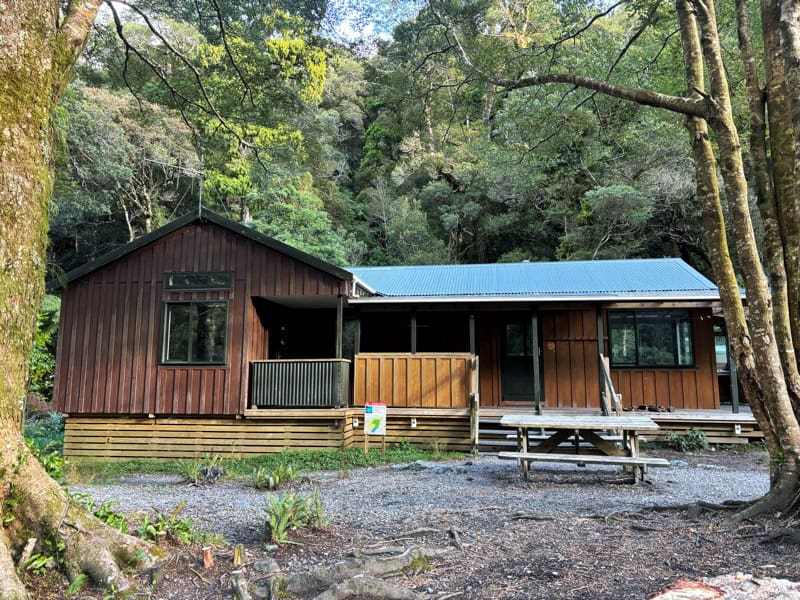
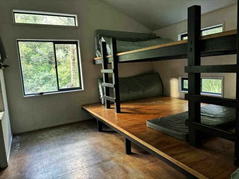
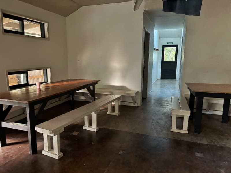
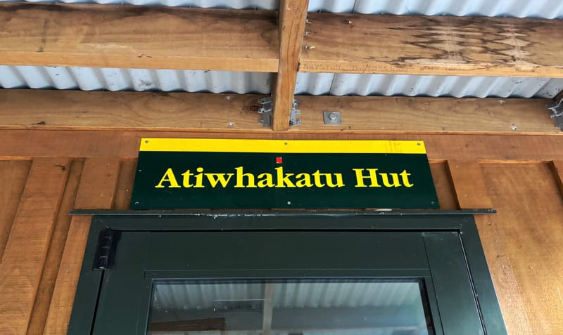
What’s the hut like?
It’s a great wee hut, with 26 bunks. You’ll need to book your spot online here, with the hut being $15/person from July 1st, 2026 (5 to 17 years old will be $7.50 and 5 and under, free). Do check these prices as they are changing a lot.
DOC Backcountry hut passes are able to be used here.
Here’s a few photos showing the the hut, common area, and one of the sleeping areas on the room.
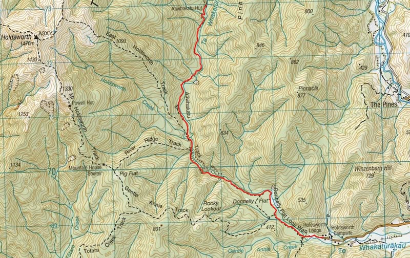
2. ATIWHAKATU HUT MAP
You don’t really need a GPX file for the route, as it’s well signposted and easy to follow, but here it is anyway.
The map below is the GPX overlaid on the topomap.co.nz map. I recommend downloading the NZTopo50 map (it’s paid), but easily the best topo map for hiking in NZ.
3. HOW TO GET THERE
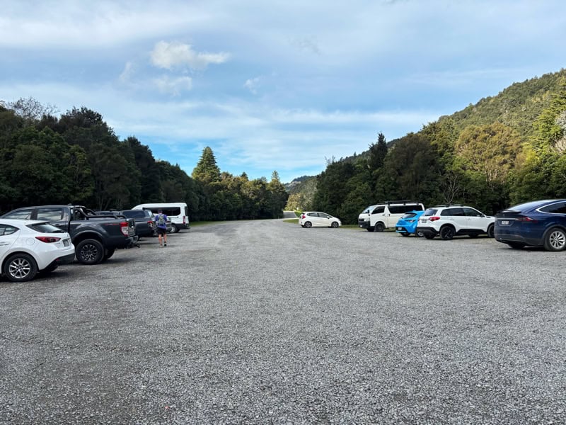
The best way to get there is by car, with a large carpark as seen above.
From Wellington, it’s close to 2 hours/110km. From Masterton it’s about 25 minutes/23km.
The carpark is massive, so there should be no issues with finding a space for a park.
You could try someone like Masterton Shuttles but that’s going to be expensive.
Hitchhiking can work as there’s usually a good number of people at the carpark, but you’d want to get to the Norfolk Road turnoff from the highway…but as long as you get there…some patience should work (if the weather is good).
Fingers crossed you don’t get stuck there on the way back.
4. MY ATIWHAKATU HUT EXPERIENCE
I’ve been into Atiwhakatu Hut numerous times, on hikes and a run, but never as an overnight hike. This trip report is going to be based on my most recent trip in there in May.
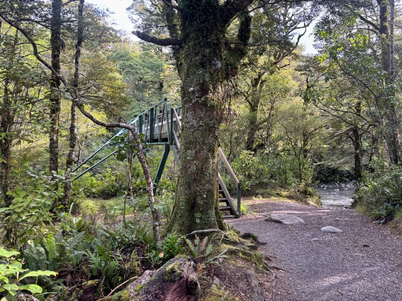
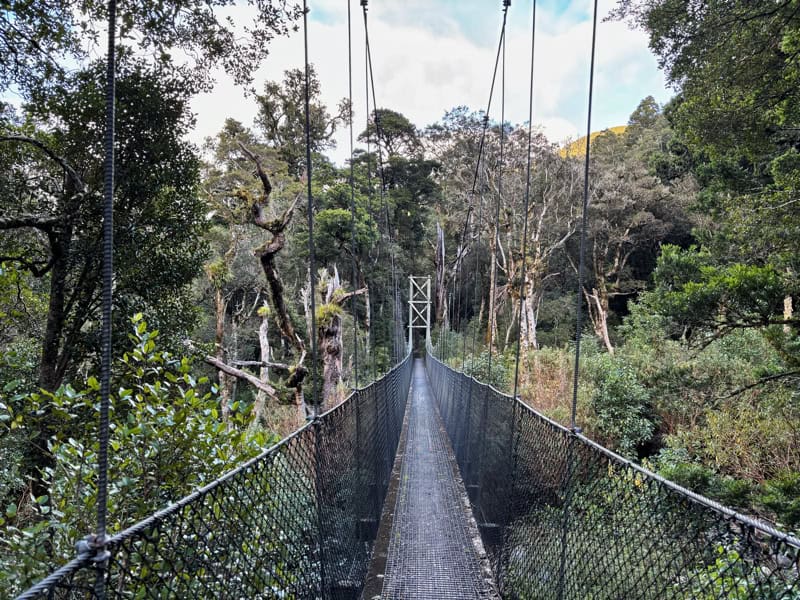
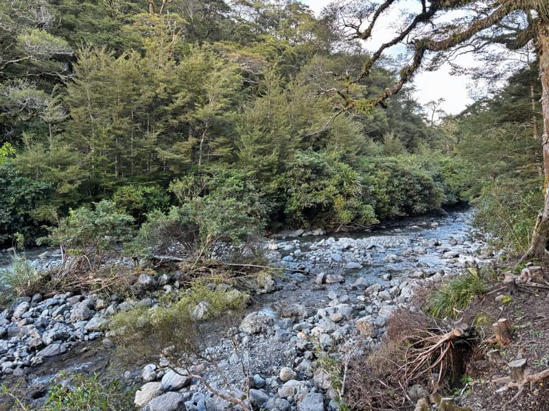
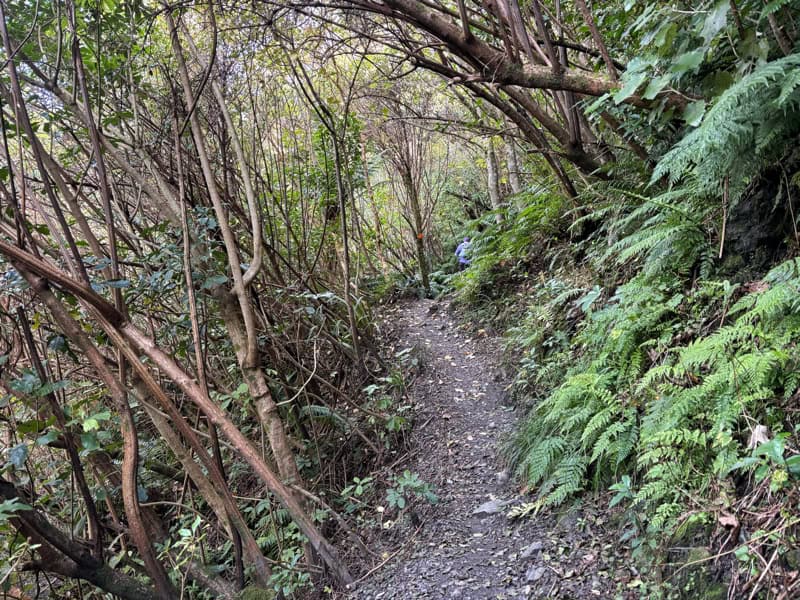
Leaving the carpark you’ll follow the gravel road for a few hundred metres that takes you to the start of the bush. Soon after you’ll be crossing the bridge above, it’s well signposted.
Then you’re into the real Atiwhakatu Track experience. The first couple of kilometres on a super well maintained track to Donnelly Flats. There’s a couple of toilets here, and if you need to reorganise your gear or want an early snack, it’s a good spot.
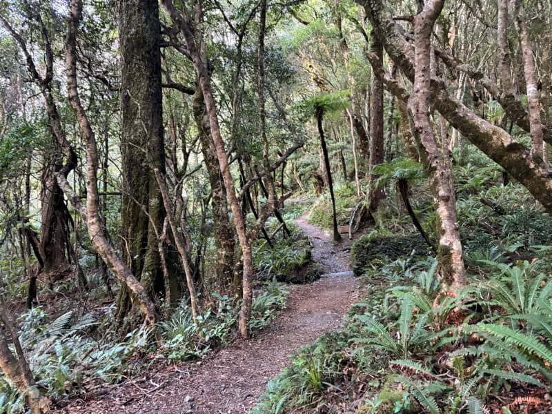
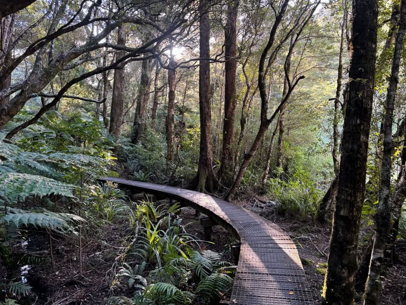
Continuing on, if you saw the elevation profile, you’ll see it’s just a gentle incline all the way more or less. The downhills, you hardly notice although I did notice them as uphills on the return.
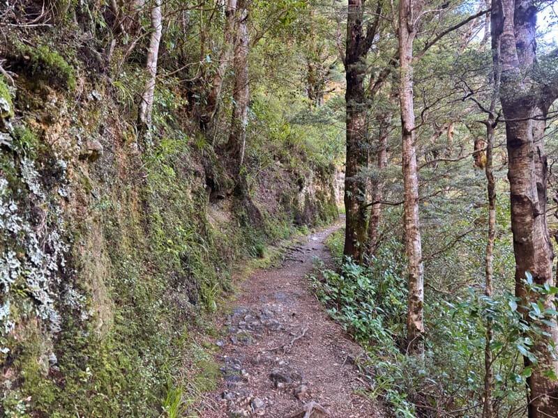
There’s a few sets of stairs along the way which I find never fun, but there’s only a few so no drama.
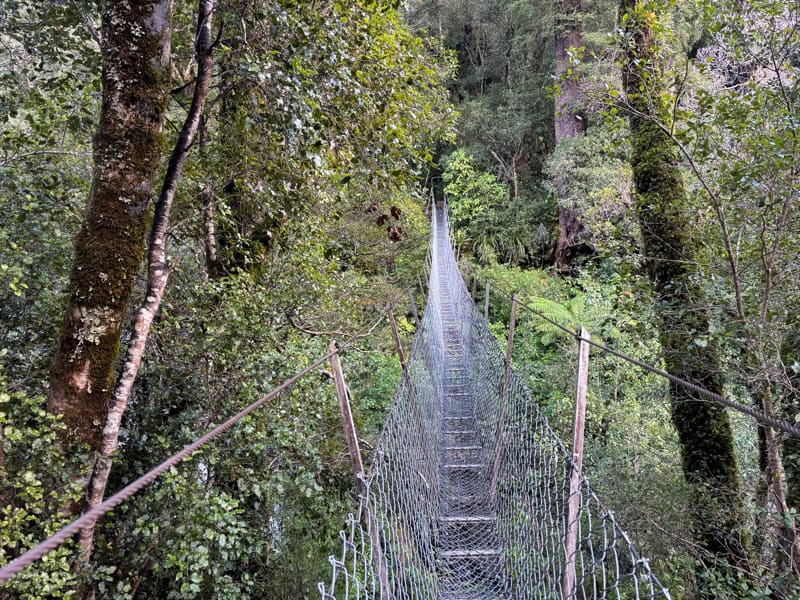
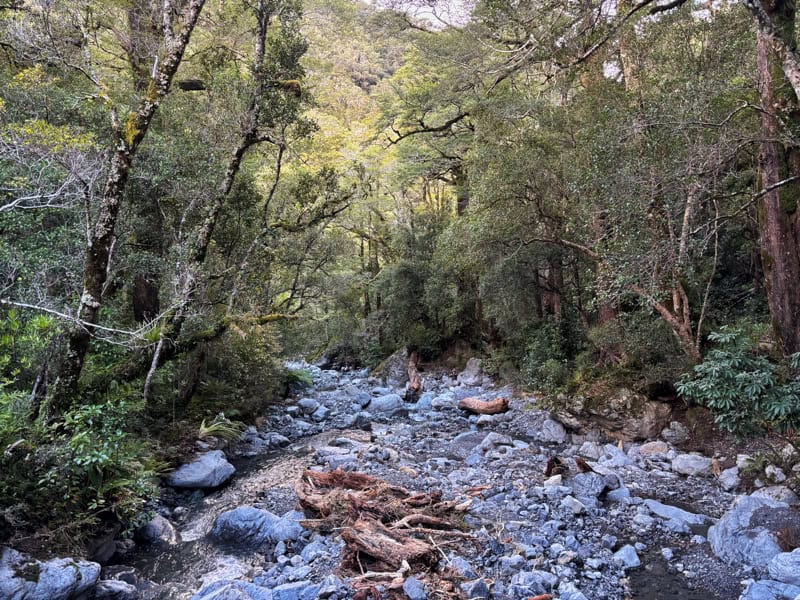
The bridges are cool, and surprisingly varied. If you haven’t been on a wire bridge before, this is nothing like the backcountry 3-bridges you can find around NZ (like this one on the way to Dragonfly Peak (Otago), but it might make you a wee nervous. It’s fine.
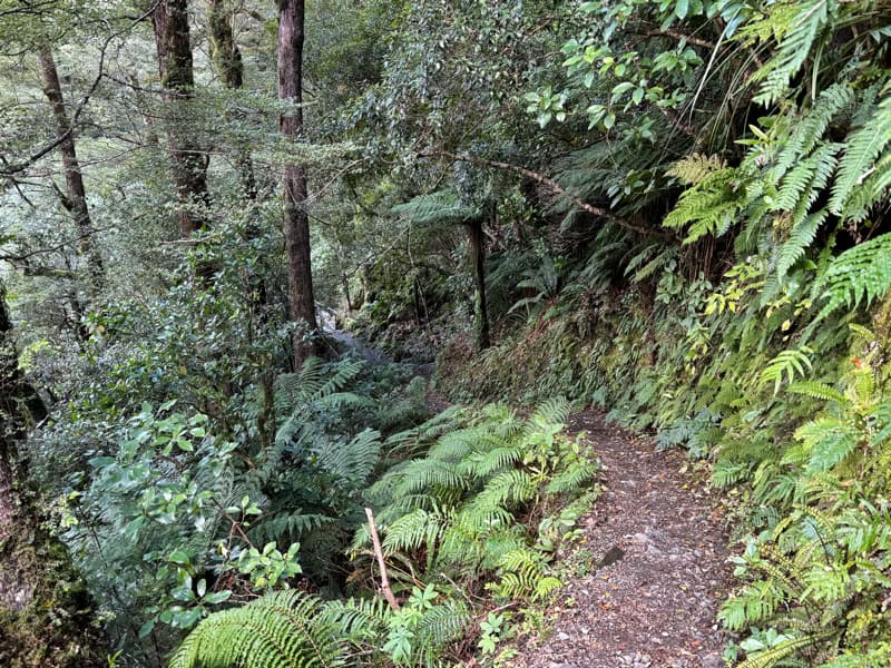
The trail through the whole way is well maintained, but there is a short section where there’s an active slip (here on the map). There’s no issue with the slip if it’s dry, but could get spicy if it’s wet…check the DOC website for any info on the slip.
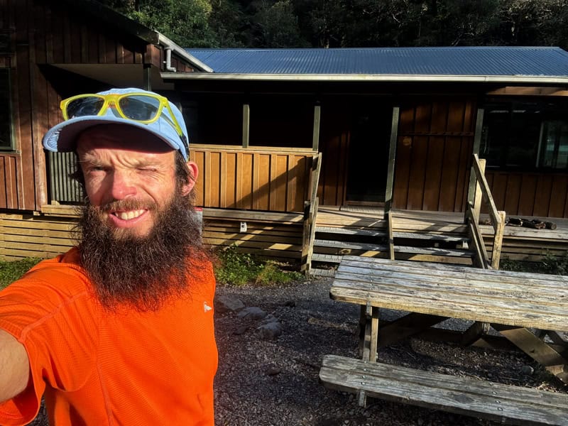
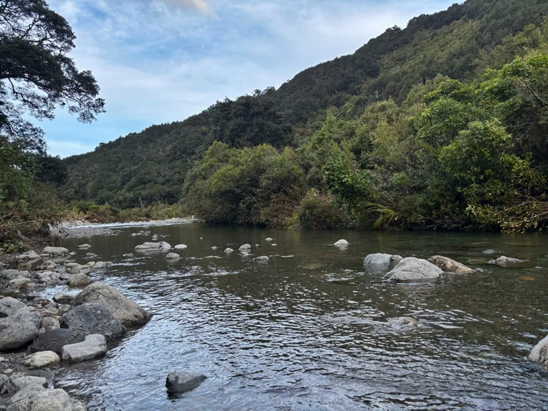
The hut is great, with a porch and picnic table out the front. And provided it’s a nice warm day (or you’re crazy), a dip in the river is worth it. Stay water safe etc.
You could go explore the tracks beyond the hut, but note, they get a lot more technical!
The return trip is cruisey, you’ll be a bit faster given you’re going down the hill overall.
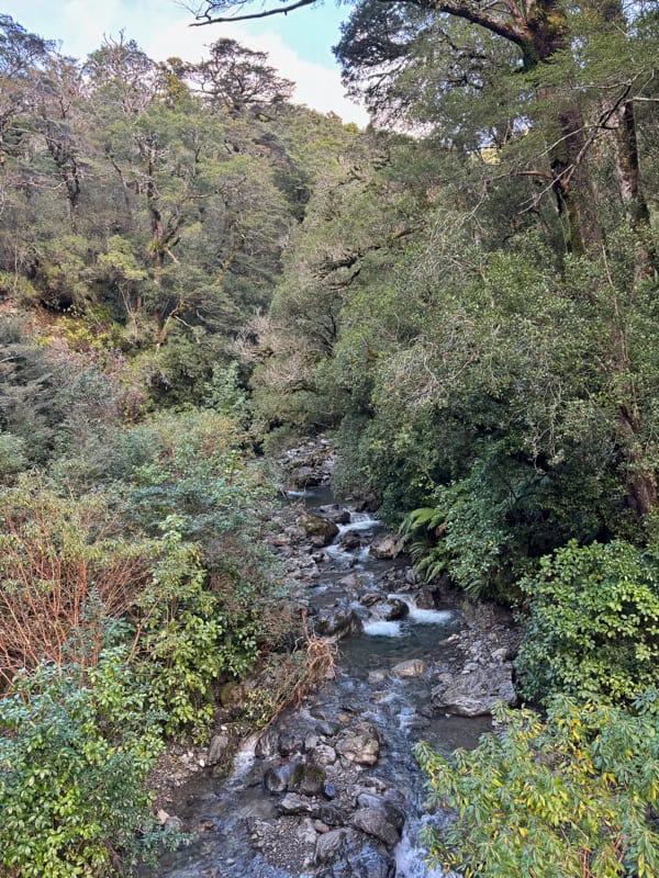
Then once you’re at the carpark, you can always take a (cold) soak in the stream by the carpark as seen below. Apparently there’s a better swimming hole up by the bridge.
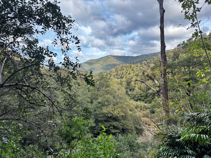
The Tararua Ranges are known for being rugged, relentless and for having some of the worst backcountry weather in the country. But Atiwhakatu is an exception, with the gentle distance and gradient making it accessible for everyone as a first overnight hike, or a relaxed weekend away. And of course, its a gateway to lots of trails in the Tararua Ranges and of course it’s part of the Mt Holdsworth Jumbo Circuit.
Got any questions or comments about the Atiwhakatu Track or hut? Leave a comment below or email jub@churnewzealand.com.
Chur.
p.s. Here’s a map of all the hikes documented on Chur New Zealand. You can click the icon to see brief details, as well as a link to read more about the hike (like this post).
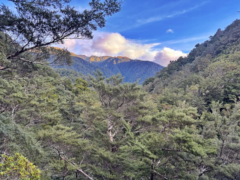
And for the scrollers, here’s a few more photos of the track.

Hey, it’s Jub here. I’m the guy behind Chur New Zealand, helping you have the best time hiking, trekking, walking…whatever you want to call it…in NZ. I’m based in Queenstown and am always out and about exploring trails, old & new. If you have any questions, reach out.