Compared to the huts along the Te Araroa Trail through the Takatimu Conservation Area, the Aparima Forks Hut (some refer to it as a bivvy) gets few visitors.
For some of you, that will be an even better reason to visit this hut if you decide to spend a night here.
This post will be address the walk to Aparima Forks Hut from Aparima Hut.
I did this as a day trip, but if you can, spend a night there.
TABLE OF CONTENTS
1. Aparima Forks Hut Details & FAQ’s
2. Aparima Forks Hut Map
3. How To Get There
4. My Aparima Forks Bivvy Experience
1. APARIMA FORKS HUT DETAILS & FAQ’S
QUICK DETAILS:
- Difficulty: Easy to medium
- Distance: ~15km return
- Time: You can stay here overnight, but otherwise I would allocate 2 to 3 hours each way for the hike. The speediest of hikers could get it done inside 2 hours.
How hard is the hike to Aparima Forks Hut?
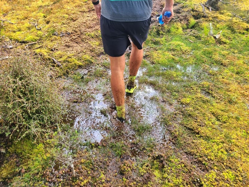
This is an easy to medium hike. It’s not long, nor is there significant elevation change. But there’s a good amount of boggy/mud patches, which makes things a little difficult and there’s the river crossing shortly before the hut (there’s another smaller creek crossing too) to keep things interesting.
Make sure to follow good river crossing practices and be prepared to turn around if it’s too dangerous to cross.
What is the distance to Aparima Forks Bivvy?
According to the DOC website and the signs on the track, it’s 9km each way. But my friend and I both got 7.5km each way on our watches…without taking any shortcuts. This is a significant difference, so I would say be prepare for 8km as 9km seems excessive.
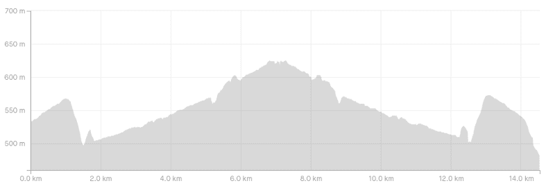
What is the elevation gain to the hut?
From Aparima Hut and Aparima Forks Hut return, there’s about 350 metres in elevation gain in total. In this elevation profile I have below I missed the first 400 metres of tracking which I’ve factored into the total.
How long does it take to hike from Aparima Hut to Aparima Forks Hut?
The 15km return hike, even with minimal elevation gain isn’t a quick hike as it can be quite muddy and boggy. I would set aside two to three hours each way. Three hours would be on the slow side. Faster hikers will be able to get it done in less than 2 hours.
How much does Aparima Forks Hut cost?
As it’s a basic hut/bivvy (2 beds) it is free to stay here.
2. APARIMA FORKS HUT MAP
The map below shows my GPX file overlaid on a map from topomap.co.nz.
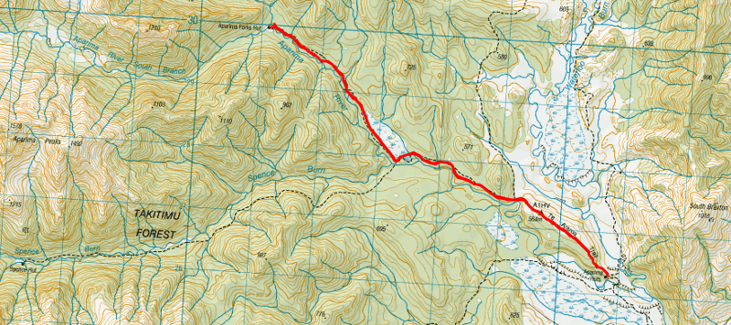
I would recommend downloading this topo map as I always do, and the track on there is accurate. As long as you follow the orange markers, and refer to the topo map app if you feel like you’ve gone off path, there’s no need to have a GPX file.
3. HOW TO GET THERE
The closest trailhead to Aparima Forks Hut is on Dunrobin Valley Road which is access to the Aparima River Track which is on the way to forks hut.
The easiest way to get to the trailhead is by car, parking here at the entrance to Pleasant Creek.
From there you’ve got 6km to Aparima Hut which then leads to the track to Aparima Forks Hut via Spence Junction.
4. MY APARIMA FORKS HUT EXPERIENCE

After spending the night at Aparima Hut (above), it was time to go check out Aparima Forks Hut.
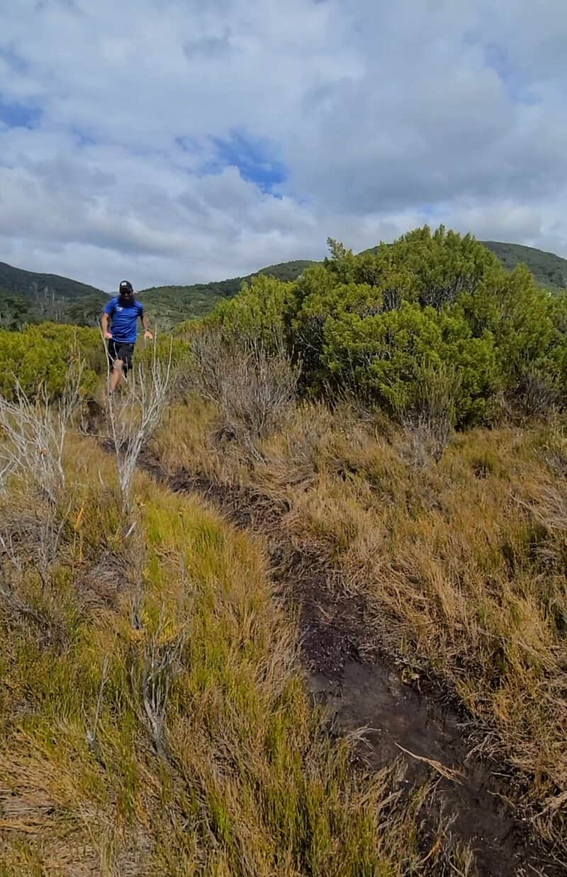
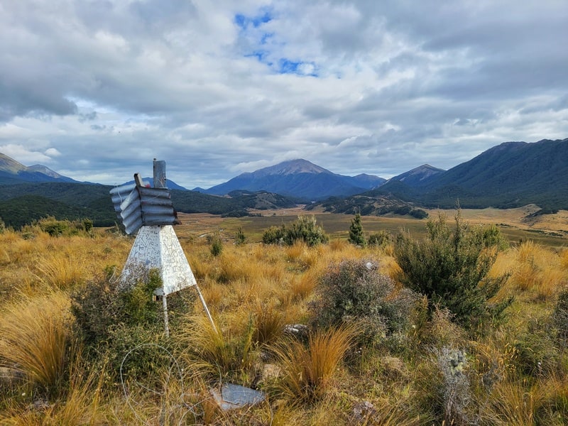
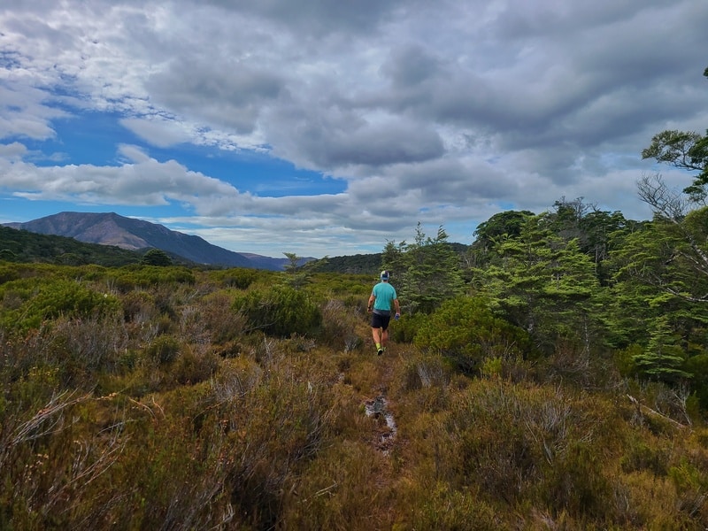
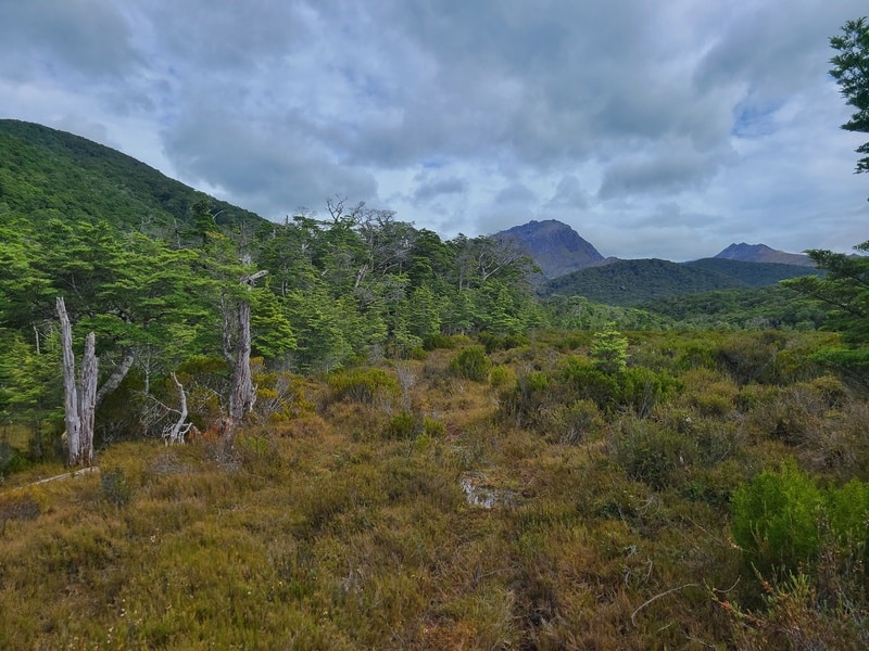
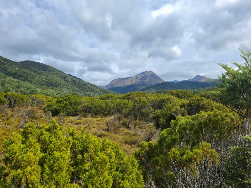
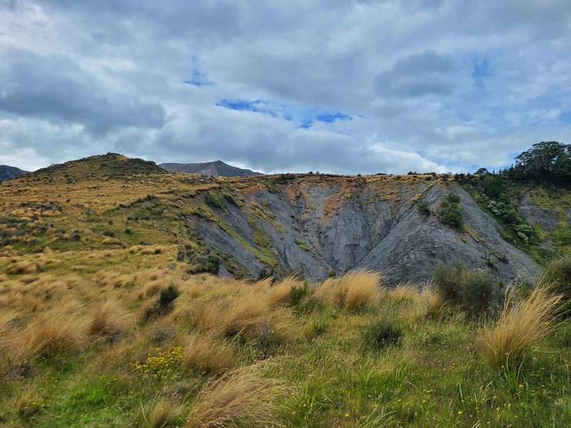
Leaving the hut, you’re in for a gentle climb that offers some nice views right away. You’ll then walk a clear trail, past a trig before descending to a bend in the river. You’ll approach a junction, where you veer away from the Te Araroa Trail and head into the forest.
Note: The DOC sign here was very confusing in terms of distances and estimated walk times.
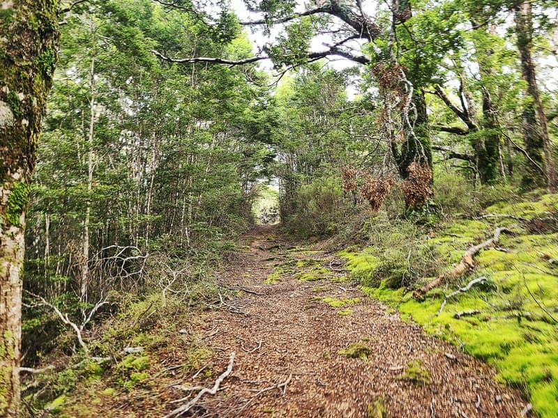
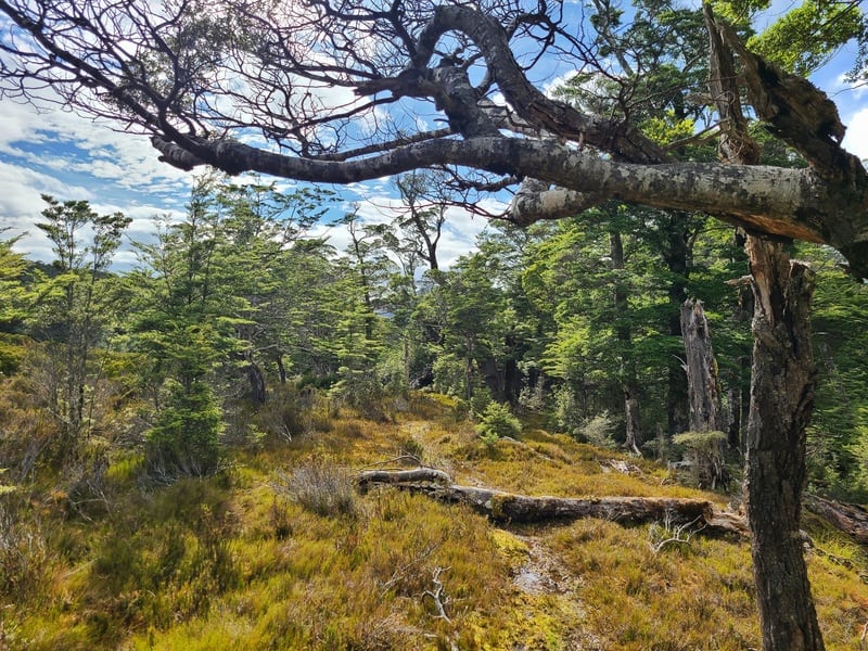
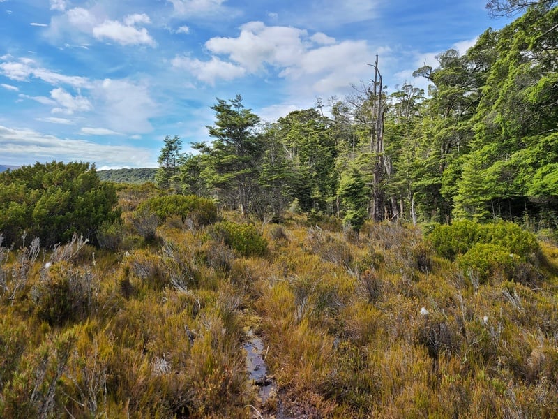
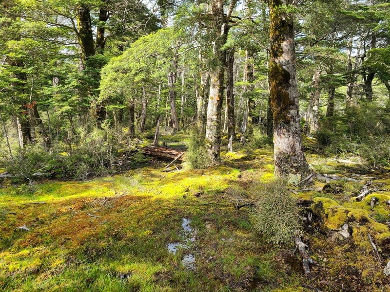
Heading into the bush, it didn’t take long until we came through some muddy/boggy section. But it’s some nice bush, as it all seems to be in the Taki’s.
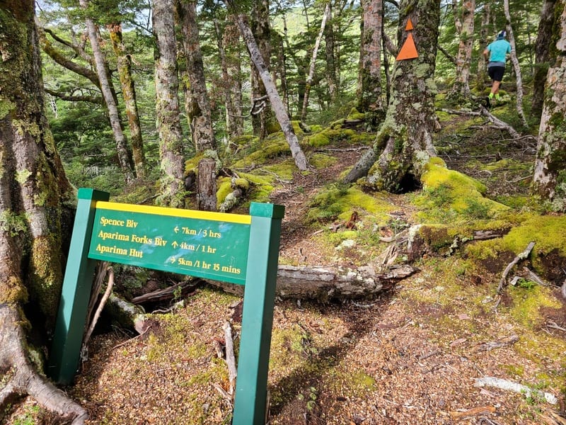
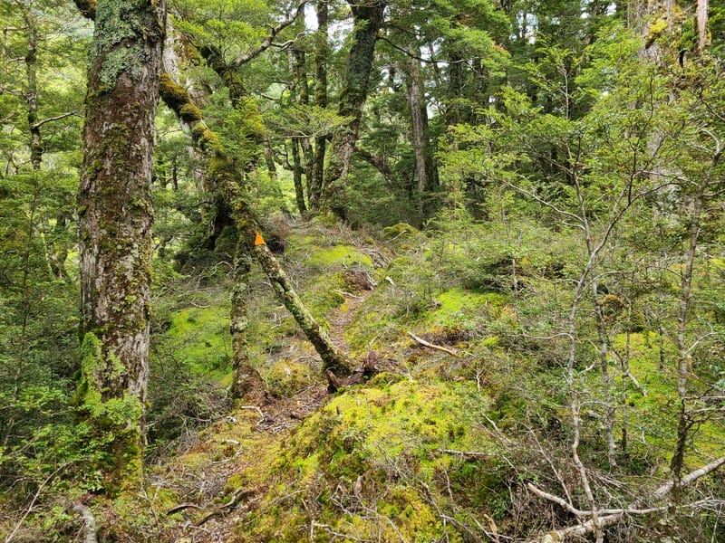
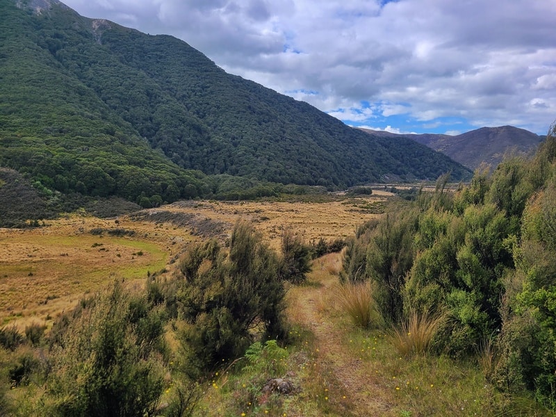
You’ll soon come to Spence Junction, where we don’t go to Spence Hut but go right to the Aparima Forks Bivvy. It’s clearly signposted.
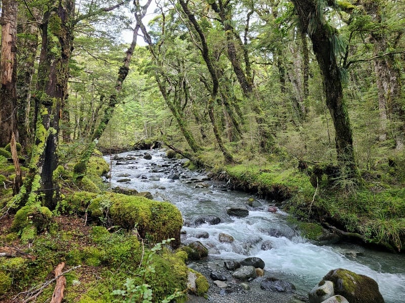
Continuing through the forest, I didn’t really notice the steady incline at all…but there’s a few little undulations that were punchy. The small river crossing was a breeze, and then it felt like we were closing in on the hut fast.
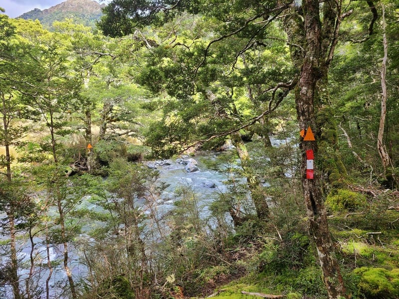
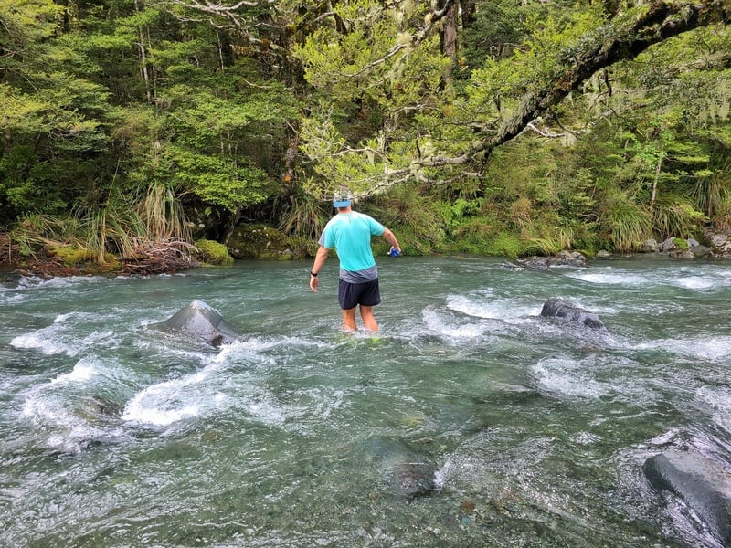
Somehow we missed the signs pointing out where we needed to turn left to cross the Aparima for the final 100 metres or so to the hut, but quickly backtracked to figure out what we needed to do.
The river crossing was no more than knee deep when we crossed, but it could easily be a lot higher after/during rainfall.
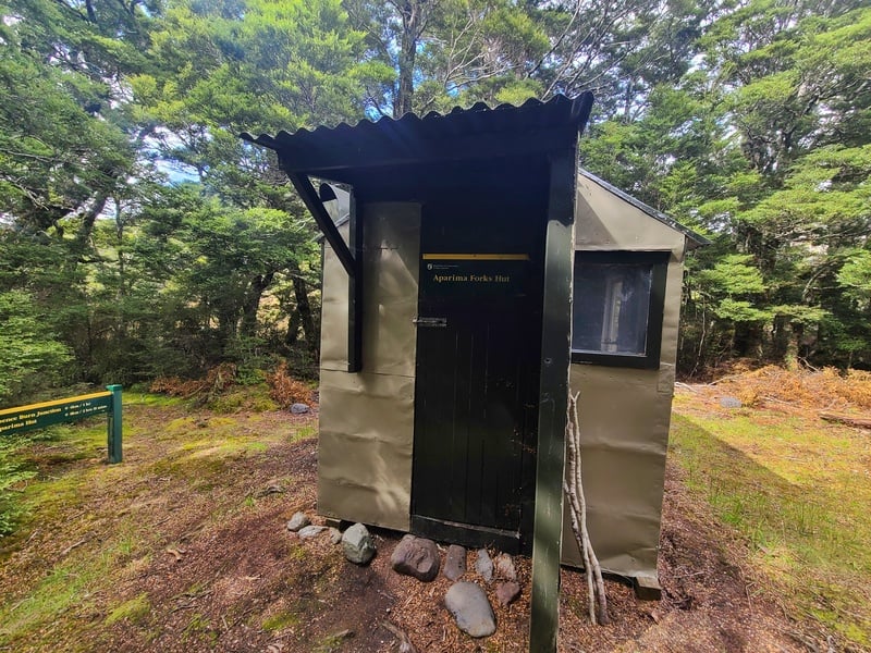
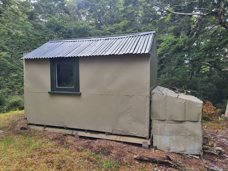
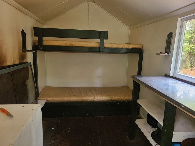
The final stretch to the hut is a breeze, and then on a little plateau you’ll find the hut. It’s just a small two person hut/bivvy with a lot less names in the Intentions Book (less than 5 in the first three weeks of the year).
Enjoy hanging out for a bit with some lunch. There were some man-made stools around when I was there.
The return retraces your steps and as it’s net downhill you’ll likely be quicker, but not by much!
If you’re looking to explore the Takatimu Conservation Area in depth, make sure you spend a night at the Aparima Forks Hut.
If you have any questions/comments about going here, leave a message below or email jub@churnewzealand.com.
Chur.
p.s. here are a few more photos from the track.
p.p.s. you can find all the hikes I’ve documented in this map (clicking on the icons will provide more info):

Hey, it’s Jub here. I’m the guy behind Chur New Zealand, helping you have the best time hiking, trekking, walking…whatever you want to call it…in NZ. I’m based in Queenstown and am always out and about exploring trails, old & new. If you have any questions, reach out.