There are two Black Peak’s you can hike to in Otago. This post will focus on the Black Peak near Glenorchy, not the Wanaka one.
This post will give you all the details you need to know about heading up to Black Peak, 1989 metres above sea level. This is another case of showing how good the hiking options are around Glenorchy if you want to make yourself a base there.
TABLE OF CONTENTS
1. Details About Black Peak Near Glenorchy
2. Black Peak Map
3. How To Get There
4. My Black Peak Experience
1. DETAILS ABOUT BLACK PEAK GLENORCHY
- QUICK DETAILS:
- 26km return
- 6 – 12 hours return
- Nearly 2000 metres of elevation gain
- Download the GPX File
How hard is the track to Black Peak?
For a peak that is close to 2000 metres, it’s relatively easy compared to many in that elevation. But it’s not going to be for most people with Mount McIntosh Hut being a big effort for most. At worst you can start heading towards the peak and decide when you get to the base of the final real climb whether you’re up for it.
What distance is the track to Black Peak?
From the Mount Judah Carpark to Black Peak summit, via the Mount Judah Track (most go to Heather Jock) is 12.87km based on my watch. I’d say give or take 300 metres just to be safe. If you’re returning the same way, you can double it 🙂
What is the elevation gain of Black Peak?
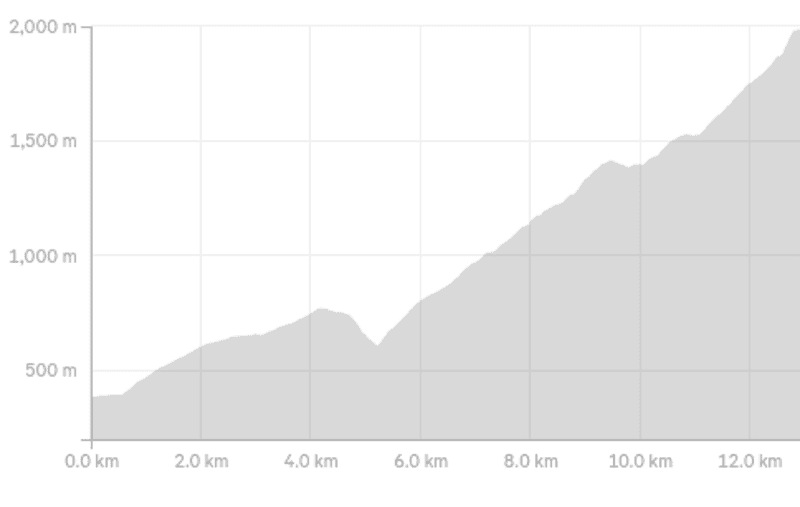
The elevation gain from the carpark to the summit of Black Peak near Glenorchy based on my watch is 1766 metres. You’ve also got about 170 metres of descent on the way to the peak, most of which is when you drop down to Buckler Burn.
On the way back, it doesn’t matter which way you come back…you’ve got another couple hundred metres of ascent on the way down for close to 2000 metres of total ascent for the return trip.
Here’s the elevation profile to the peak:
How long does it take to hike to Black Peak?
Based on what I’ve talked to people about, this is going to vary a lot…based on fitness, conditions, and route taken.
I would allocate a full day if you’re planning to do it in a day to be on the safe side. There’s no harm in starting early. Plan on at least 6 hours, but I would say most will be in the 8 – 10 hours, potentially 12 hours for some.
Can you hike this in winter?
I’m going to say no. While you can often get up to McIntosh Hut okay, there’s usually a good bit of snow on Black Peak. If you’re super confident and have the right gear etc., sure. But it’s not something I’d personally recommend.
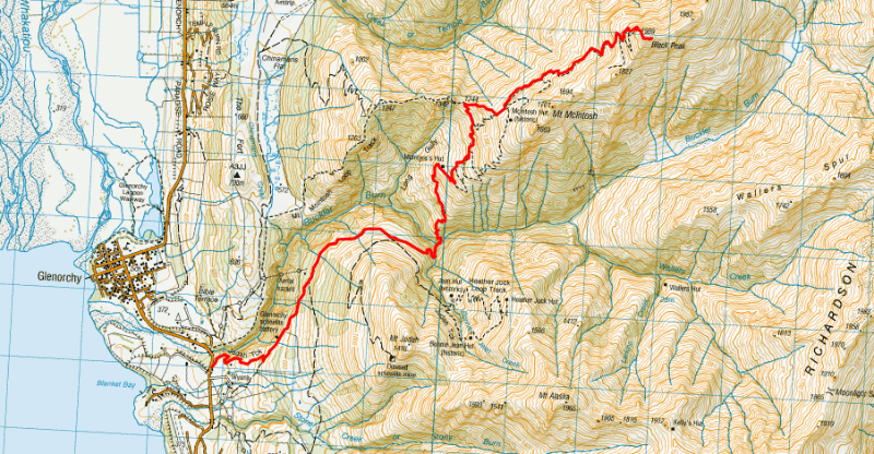
2. GLENORCHY BLACK PEAK MAP
The map above is the GPX File (available for download here), overlaid on a TopoMap.co.nz map.
You can see the trail on both Maps.me and a good topo map app, but it’s never a bad idea to have a GPX file handy.
3. HOW TO GET THERE
The main carpark is here, just before Glenorchy (from the Queenstown direction). The easiest way to get there is too drive which is a 45 to 60 minute drive from Ferg Burger.
Alternatively, you can book a couple of the hiking shuttles (easiest to ring them) to drop you off, or you can pretty easily hitchhike from Queenstown.
4. MY BLACK PEAK EXPERIENCE
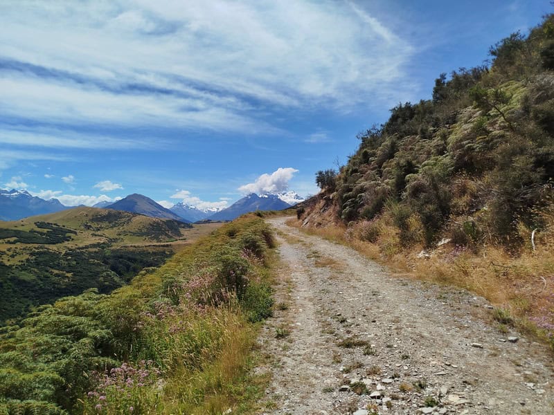
While you can never quite predict the weather, I was almost guaranteed a perfect sunny day for this adventure. The only real unknown was the wind levels up higher.
The carpark was all but empty, but I did chat to a couple of people and they were bemused I was heading up past the peak we could see in the distance (we could see the ridge behind McIntosh Hut, but you can’t see Black Peak).
The start of the trail is cruisey with its 4WD in good condition. It’s good to help warm the legs up and you’ll be going up straight away but at a solid gradient that isn’t leg breaking…well it shouldn’t be at least.
All you need to do is keep trucking up, and eventually you’ll come across the turn off (we go left) for McIntosh Hut…about 4km in.
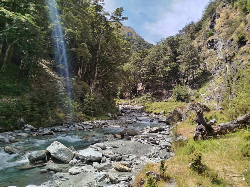
You’ll pass through a grassy track for a bit on a gradual downhill before a steeper section that leads to the Buckler Burn. The burn can be dodgy to cross if there’s been some rain or lots of snow melt. Make good decisions…it was about knee deep for me.
And don’t drink the water! There’s arsenic in it.
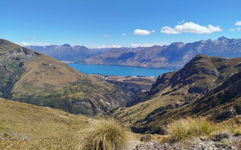
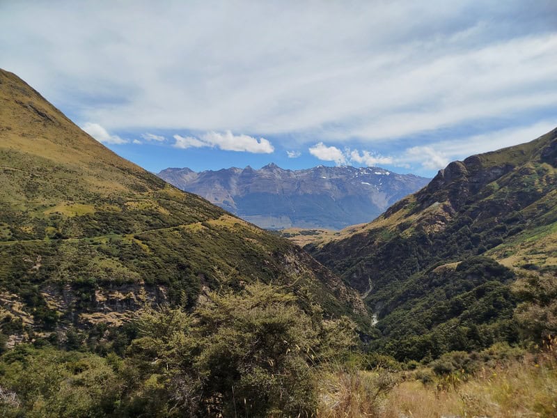
On the other side, the climb begins right away and once you’re out of the forest, you’ll be exposed to the sun for the rest of the hike to the summit. This section is a slog with some overgrown grasses at times, and switch backs. But it’s just a matter of chugging through it. As you get higher, the views come good with views over Lake Wakatipu, and Mount Larkins (2300m) and Mount Alaska will come into view.
You’ll then see Long Gully Saddle come into view. Take in the views here, have a rest…there’s still plenty of climbing to do, but you’re over half way distance wise.
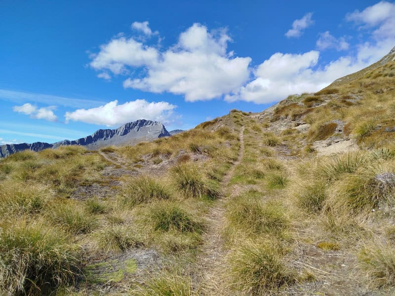
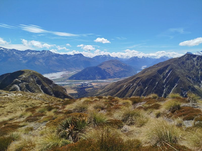
Take a right and follow the track towards McIntosh Hut. About 700 metres after the gully, you’ll spot a subtle track veering off to the left which is the turn off towards Black Peak which will be in view soon enough (it’s an impressive looking peak, like a pyramid).
The track is pretty easy to follow on the way up, though it’s less obvious than the main track…if in doubt refer to your topo map app. There’s a couple of slippery sections as you get towards the last obvious climb to Black Peak…switch back city.
Once I got to the switchbacks, there was suddenly more tracks appearing than I had seen from afar. As long as you’re going up, you won’t go far wrong…but it’s easiest to follow the most established tracks.
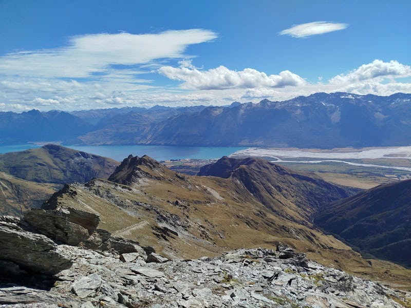
If you look at the topo map, you’ll see the trail on there finishes a little short of the summit. This is accurate…and once I got to the end of the patched section, it was just a matter of picking a line that looked easiest and going up. I found this section alright, but not everyone is going to love it. But there’s plenty of traction provided you have good tread on your shoes/boots.
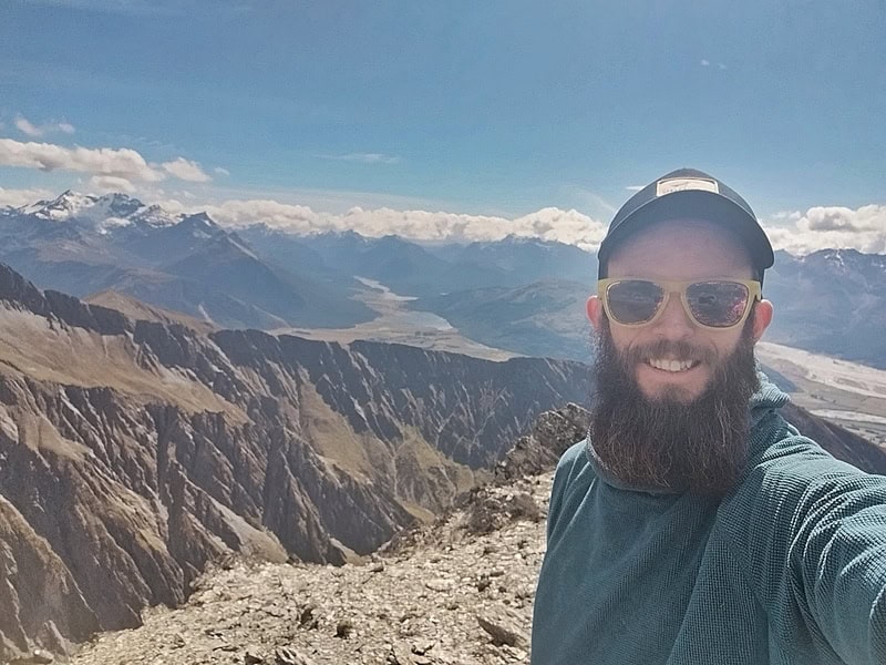
And then you’re at the top. But it’s not the true summit! You’ll need to do a little traverse again to get to the true summit. The views are probably better in general from the first week summit, but you kind of have to keep going when you’re so close right?
Summit views:
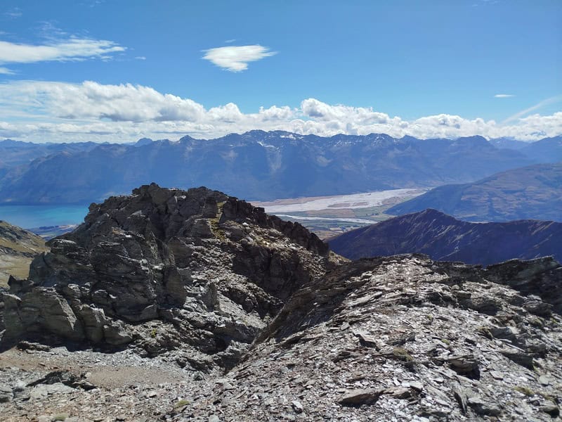
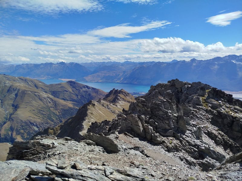
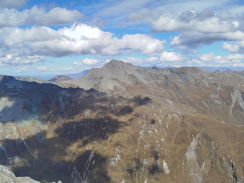
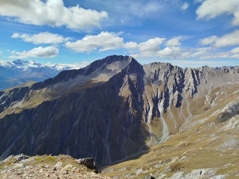
On the way back, between the peak and Long Gully Saddle I seemed to constantly lose the track…but I knew my general direction so kept chipping away until I found the track again leading to the saddle.
From the saddle, you can continue back the way you came…or you can go up over the hill in front of you. While that’s the best views…you’ll have to go down a horrible 450 metres descent (in 1km) next to a fence line (photo below makes it look ok…that’s a trick). People have lost their will to live coming down here…it’s not fun. Pick your poison 😉
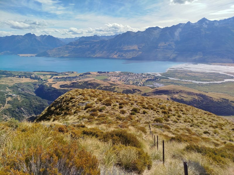
If you’ve got any questions or comments about hiking to Black Peak near Glenorchy, let me know in the comments below or email jub@churnewzealand.com.
p.s. Here’s a map of all the hikes documented on Chur New Zealand. You can click the icon to see brief details, as well as a link to read more about the hike (like this post).

Hey, it’s Jub here. I’m the guy behind Chur New Zealand, helping you have the best time hiking, trekking, walking…whatever you want to call it…in NZ. I’m based in Queenstown and am always out and about exploring trails, old & new. If you have any questions, reach out.

