
The Earnscleugh Tailings Track is a neat 6km walk on the outskirts of Alexandra that takes up no more than three hours of your day.
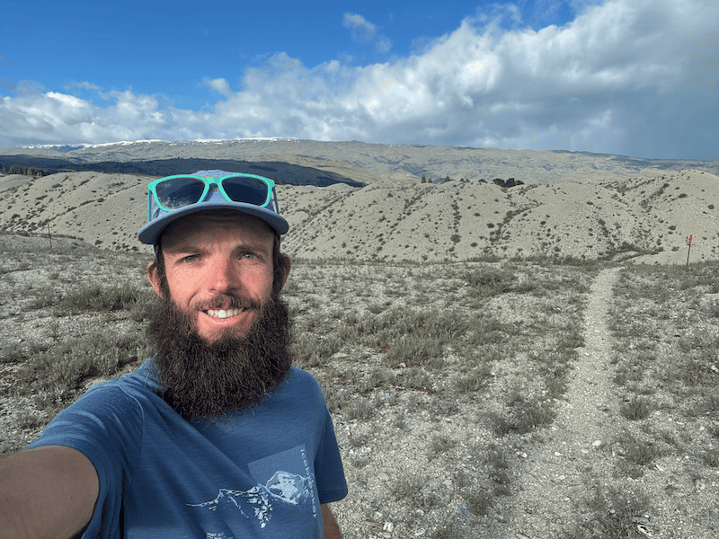
With some unique terrain, leftovers from when much of Otago was dredged during the gold rush of the 1800’s and 1900’s, this post will give you everything you need to know.
TABLE OF CONTENTS
1. Earnscleugh Tailings Track Details
2. Earnscleugh Tailings Track Map
3. How To Get There
4. My Earnscleugh Tailings Track Experience
1. EARNSCLEUGH TAILINGS TRACK DETAILS

QUICK DETAILS:
- Distance: 6km
- Elevation Gain: Less than 100 metres
- Difficulty: Easy
- Download the GPX file here
How hard is the Earnscleugh Tailings Track?
At 6km and less than 100 metres, this is an easy hike for the most part. Some of the terrain isn’t super smooth walking thans to the stones that make you work a little harder for each step…but it’s not enough to increase the difficulty rating.
What distance is the Earnscleugh Tailings Track?
The full Earnscleugh loop is right on 6km, based on my watch and other sources.
What is the elevation gain of the Earnscleugh Tailings Track?
My watch gave me 73 metres, my partner 85 metres…so it’s definitely under 100 metres. This also includes the short detour to the viewpoint.
As you can see from the image below, the elevation is minimal:

How long does it take to hike Earnscleugh Tailings Track?
DOC suggests 2 to 3 hours, but I think it’ll be less than 2 hours for more or less everyone.
What’s the best direction to hike Earnscleugh Tailings Track?
I would suggest clockwise is the best direction. You get the best views and harder part of the trail done in the first two thirds. You can then hike faster for the last section if you’re short on time.
2. EARNSCLEUGH TAILINGS TRACK MAP
The map below is the GPX file overlaid on a topomap.co.nz map.
Note, you’ll see on the GPX file that it goes east from the carpark rather than north following what appears to be the track on the GPX file. Definitely go east from the carpark following the path…you’ll then see the bridge after about 200 metres to cross the river and gets you onto the trail.
 .
The full trail is available (not the above exception) on topomap apps, Google Maps, and Maps.me. It’s pretty well marked with orange markers. That said, it’s never a bad idea to have at least one map option ready in case, and if you want the GPX file, you can download it above under quick details.
3. HOW TO GET THERE
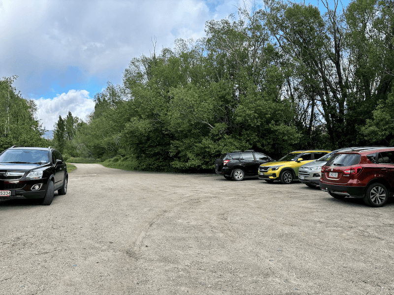
The Earnscleugh Tailings Track carpark (above) is here.
The easiest way to reach the carpark is by car, it’s a 4.7km drive from Pioneer Park in the centre of Alexandra. You could find a local taxi…there’s no ride-sharing apps available.
Alternatively you could ride or walk there via the Millennium Track from Alexandra, which is about 4km to the trail (you’ll connect to the Earnscleugh Tailings Track about here).
4. MY EARNSCLEUGH TAILINGS TRACK EXPERIENCE
After arriving at the carpark and seeing a few local ladies heading out for a walk, we quickly asked them what way we need to go for the Earnscleugh Tailings Track…they pointed east. The reason I asked, it that what looked like a bridge over the stream on the topomap didn’t really have a trail leading to it…and there was no bridge I could see.
So we headed east from the carpark (see photo below), and followed the path past the toilet and after about 200 metres found the bridge to get over the bridge. Cross that, and turn left.

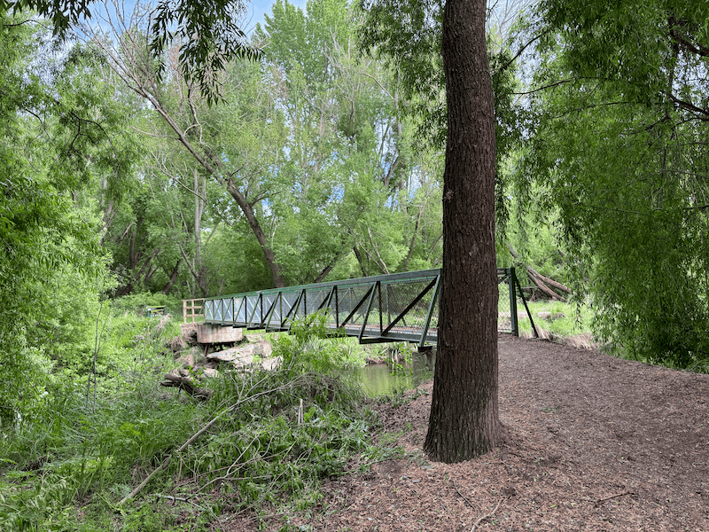
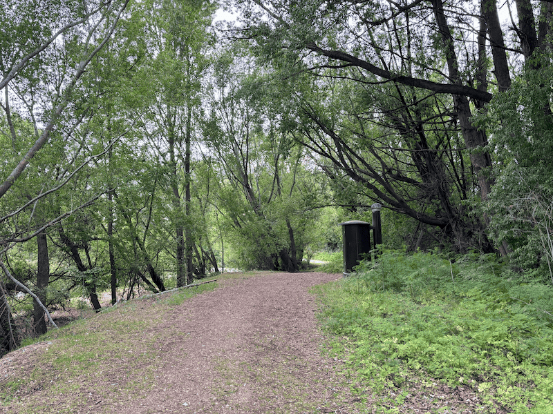
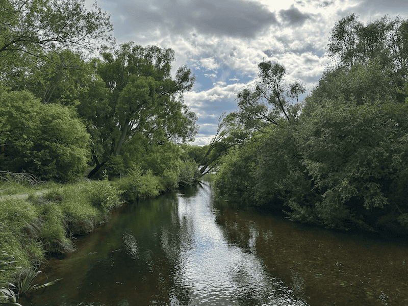
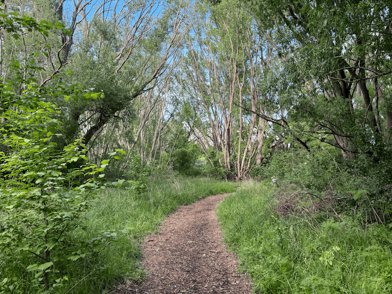
You’ll then walk back another 200 metres on the river before veering right, the orange track markers will keep you on track from here.
Shortly after veering right, you’ll get to the point where you decide to go left or right for the loop. There’s a sign pointing left to towards the viewpoint…follow the gradual incline to go clockwise.

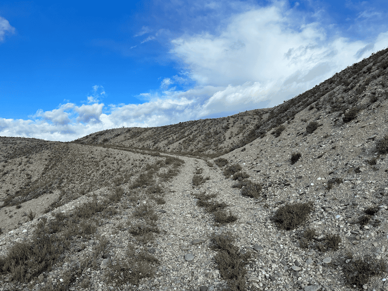

You’re really into the tailings section of the track as you follow what it looks like a 4WD track at times. The pebbles can be a bit of an annoyance at times but it’s not the end of the world.

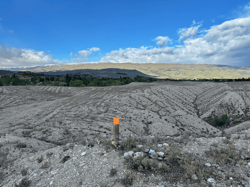
Take the short detour to the viewpoint, but it’s no drama if you don’t go to it as you’ll have similar views on the rest of the hike.
Continuing on, you’ll see lots of contrast of the grass bordering the area your hiking which is grey/silver of the tailings. Very cool.
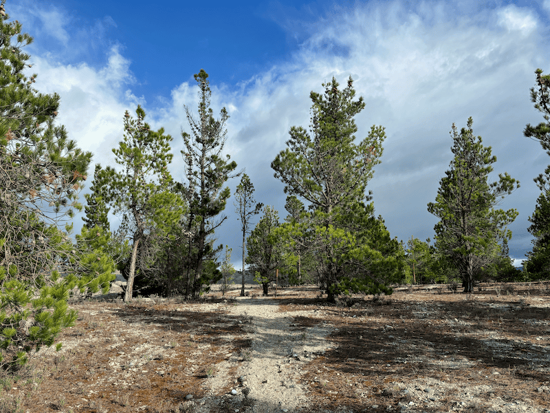
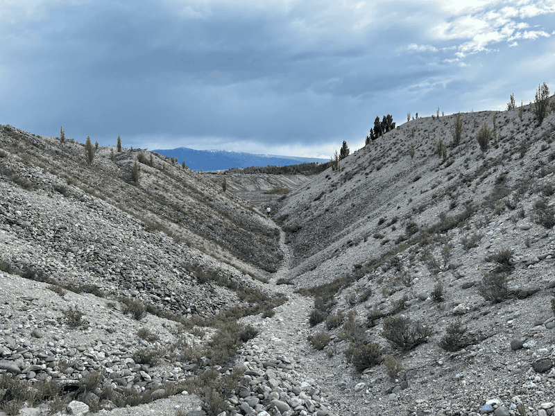
It’s smooth going for the next 1.2km or so, with some small ups and downs along the way. Then you’ll walk through a seemingly pine forest to keep things interesting before back into the tailings. There’s a cool little valley you drop down into and back up the otherside (this must have something to do with how the dredging worked).
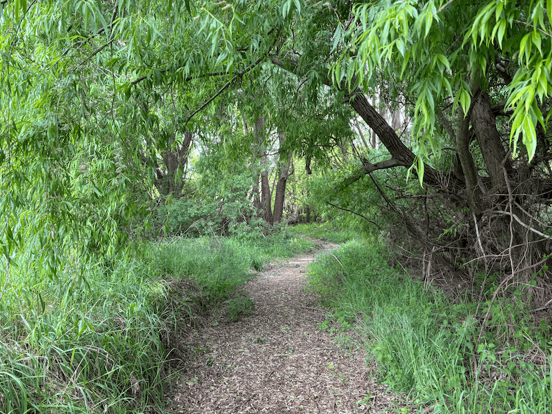
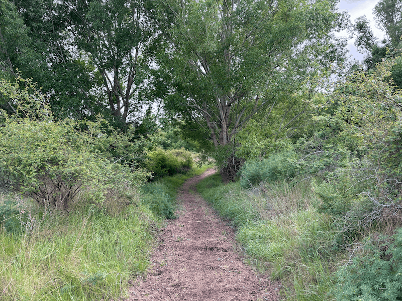
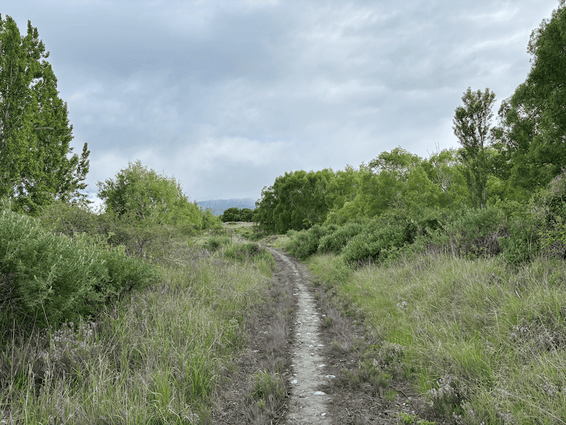
After 3.6km, you then suddenly enter the grassy forest which is quite the contrast. This is a beautiful section in it’s own right though it’s not what you’re really here for so you can move efficiently for the next 1.5km or so before you dive back into the tailings for a short time.
Then you’ll get back to finish the loop where you turned left at the start.
From here, it’s retracing your steps back to the carpark.
The Earnscleugh Tailings Track isn’t a massive hike or anything, but it’s totally different, something I like about the few walks I’ve done in Alexandra.
Even though it’s only a few kilometres away, the Basin View Track views are so different.
Got any questions or comments about hiking Earnscleugh Tailings Track?
Leave a message below or email jub@churnewzealand.com.
Chur,
Jub
p.s. Here’s a map of all the hikes documented on Chur New Zealand. You can click the icon to see brief details, as well as a link to read more about the hike (like this post).

Hey, it’s Jub here. I’m the guy behind Chur New Zealand, helping you have the best time hiking, trekking, walking…whatever you want to call it…in NZ. I’m based in Queenstown and am always out and about exploring trails, old & new. If you have any questions, reach out.