If you find yourself spending a few days in the Glenorchy area, then the Lake Rere Loop Track could be for you.
At just under 15km long, with a modest amount of elevation gain (for an Otago hike), it’s a great half day option near Glenorchy.
As a loop, I prefer doing this in the anti-clockwise direction which I’ll use throughout the post.
This post will give you everything you need to know about the Lake Rere Track.
TABLE OF CONTENTS
1. Details About The Lake Rere Track
2. Lake Rere Track Map
3. How To Get There
4. My Lake Rere Track Experience
1. DETAILS ABOUT LAKE RERE TRACK
- QUICK DETAILS:
- 14-15km
- ~400 metres of elevation gain
- Loop Track
- Moderate difficulty
How hard is the Lake Rere Track?
Compared to most of the hikes in the Glenorchy area, the Lake Rere Track is relatively easy. It’s still a solid day out being close to 15km, but the terrain isn’t steep for extended periods.
What could make it tricky is possible tree fall and mud. When I most recently completed the track, in late-December, the track was in good condition. There was a slip mentioned on the DOC website at the time, and while it is large…it didn’t feel sketchy at all.
What distance is the Lake Rere Loop?
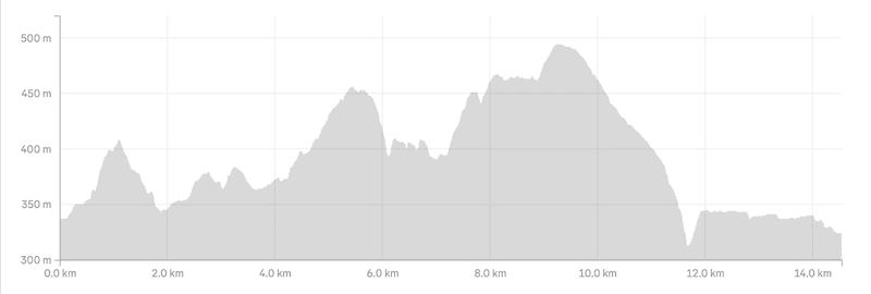
My Strava comes in at about 14.7km, with most people in the 14.5km to 15km region. DOC mentions 14km. Let’s say 15km.
What is the elevation gain of the Lake Rere Loop Track?
It’s somewhere in the 400 to 450 metre range, depending on what watch you have. Prepare for 450 metres, but if it’s less like mine…you might sneak over 400 metres on the loop.
Here’s the elevation profile:
How long does it take to hike Lake Rere?
DOC mentions 4 to 6 hours, which feels about right. If you want to take know breaks and a are a fast hiker…3 hours is possible.
What’s the best direction to hike Lake Rere?
Having done it in both directions, I’m in the boat the anti-clockwise is best. It means the steeper hills (which aren’t for any extended period) are in the front half of the hike, and I find the views better in this direction.
2. LAKE RERE TRACK MAP
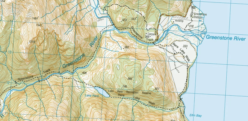
The Lake Rere Track is on all good topo NZ maps, with enough signage to make it easy enough to follow so I won’t send a GPX File.
Ah, the one confusing part is where you turn off/on the Greenstone Track when going in the anti-clockwise direction. It’s not 100% correct (as of Dec ’25). You need to walk past the turnoff you see on even the best topo map apps…after 100 metres or so, you’ll see the sign for the turn off.
3. HOW TO GET THERE
The easiest way to get there is by car, shuttle, or hitchhike.
Driving:
From Queenstown to the Greenstone Carpark is ~86km, with the drive taking 90 to 120 minutes.
From Glenorchy, it’s 36km with the last ~20km a gravel road with three fords to cross.
The majority of the time all cars, 2WD and 4WD can get through the fords easily, but if there’s been heavy rain recently…you may not want to take your 2WD through there…check with DOC before you go.
Shuttles:
Info & Track are the goto shuttles for hikers to the trailhead.
Hitchhiking:
Hitchhiking out of Queenstown is pretty easy most of the time, and that includes getting to Glenorchy, and even the Routeburn turn off. The hardest part if getting from the Routeburn Track turnoff to the trailhead…but provided it’s early enough in the day, you shouldn’t have to wait long for a ride.
4. MY LAKE RERE LOOP EXPERIENCE
After a leisurely couple of hundred metres leaving the Greenstone-Caples carpark, you’ll pass through the fence before you need to commit to either turning left over the stock bridge (clockwise), or following the Greenstone Track (anti-clockwise).
Team anti-clockwise!
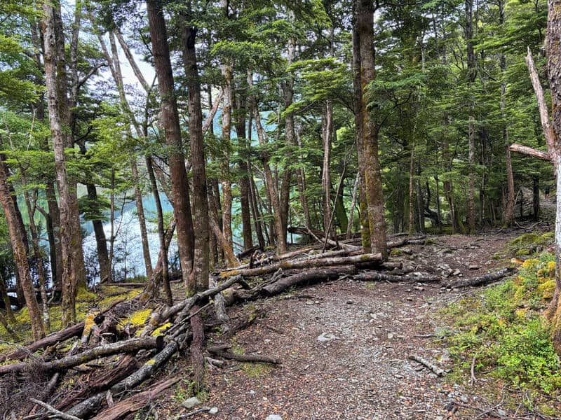
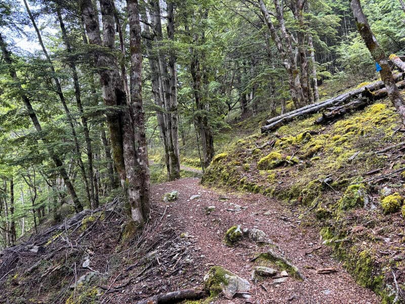
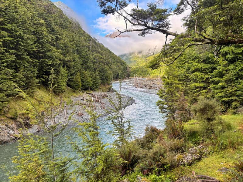
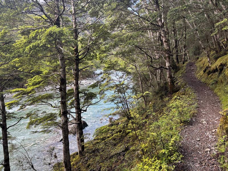
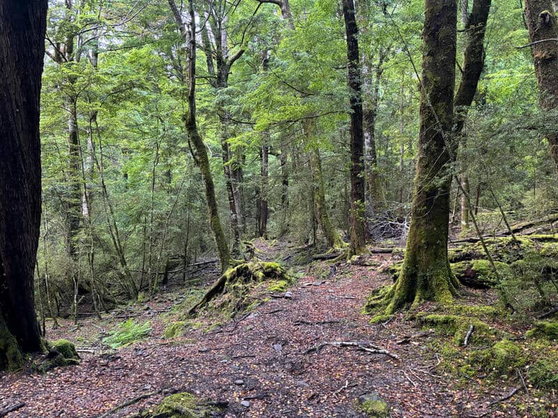
Following the Greenstone Track, it’s a nice walk through the forest with glimpses of the river below. I was impressed with how nice this section was, I was thinking it’d be more boring. Low expectations are always handy.
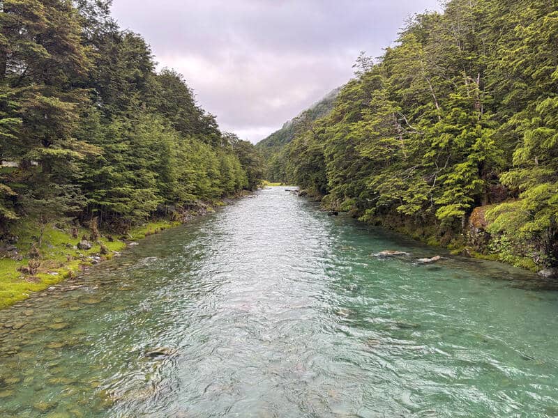
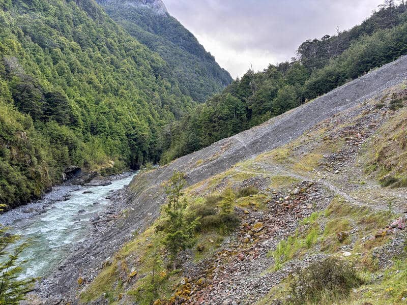
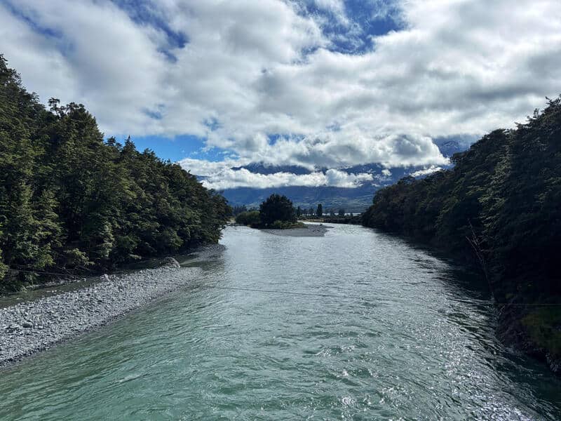
There’s an uphill to start…but you can rest easy knowing it’s about 70 metres of elevation gain until you go back down again. There are some rocks on the trail, but they add to the track and it’s not what I’d call technical. Dropping back down, it’s all downhill until you get to the bridge that crosses the Caples River (you see the point where the Greenstone and Caples rivers meet just before the bridge).
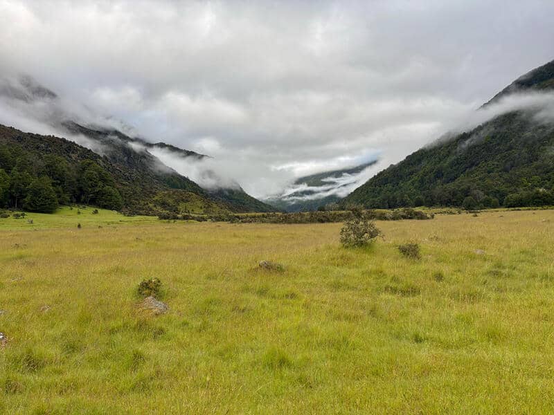
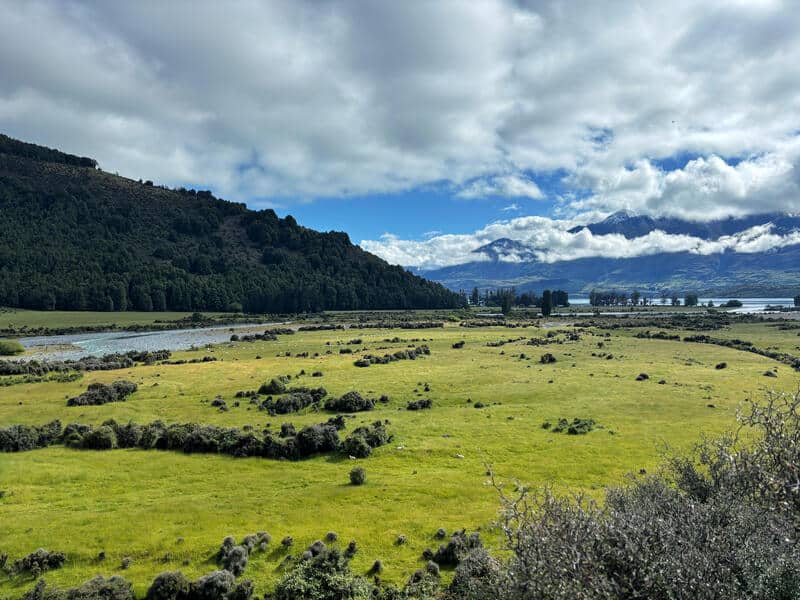
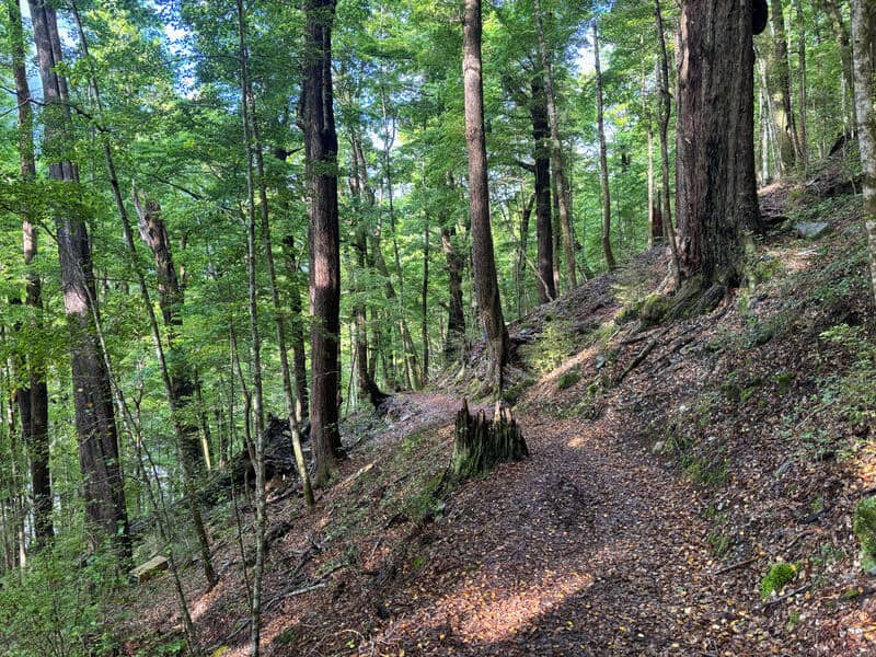
Crossing the bridge to stay on the Lake Rere route, you pass through a field with views up Caples Valley. You then enter the forest again through a gorgeous piece of track that does climb up above the river, which feels like it’s way below you if you look down. But there’s not enough of a drop off to bring exposure into the picture.
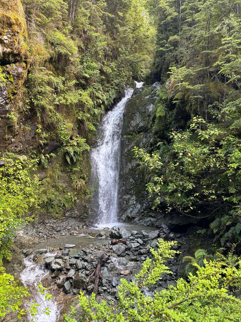
Eventually you’ll pass two waterfalls which I had forgotten about, quite nice! After the second waterfall…if you’re looking at the topo map, you’d think the turn off leave the Greenstone Track to stick to the Lake Rere Track would be shortly afterwards. But the topo map is slightly wrong, with the turn (signposted) a couple of hundred metres past it.
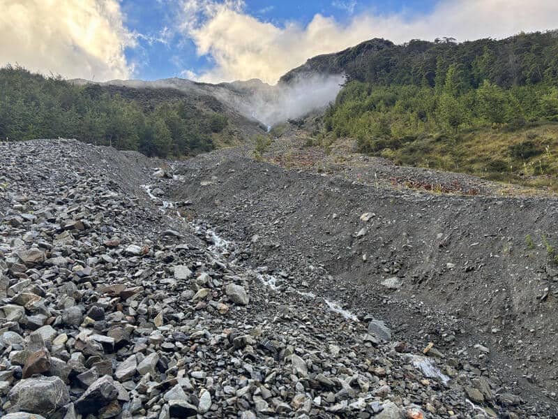
Take that left turn, and you’ll drop down to the stock bridge that crosses the Greenstone River. Back up the other side, and you’ll soon come across a large slip (at time of writing). It’s not an issue to cross it in good conditions with a well worn route leading the way. Through the slip, and you’ve got less than a kilometre (of uphill) to go to reach Lake Rere.
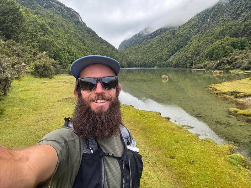
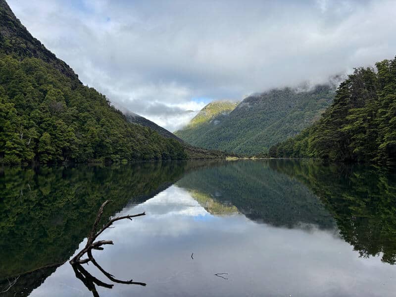
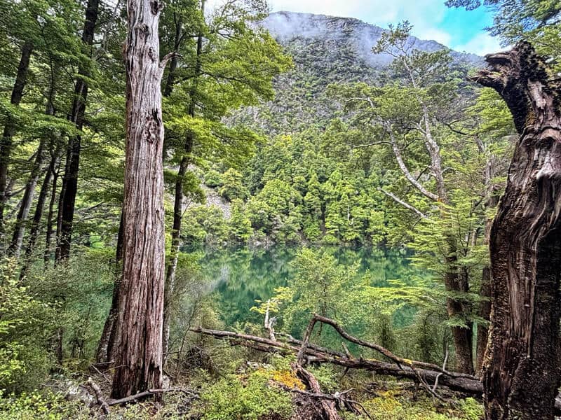
Now, Lake Rere is not an OMG THIS IS THE BEST LAKE I’VE EVER SEEN kind of lake. But it’s gorgeous, especially with the surrounds. When you see the lake first is what I think the best view is from, and if you’ve got a picnic, this is where to have it.
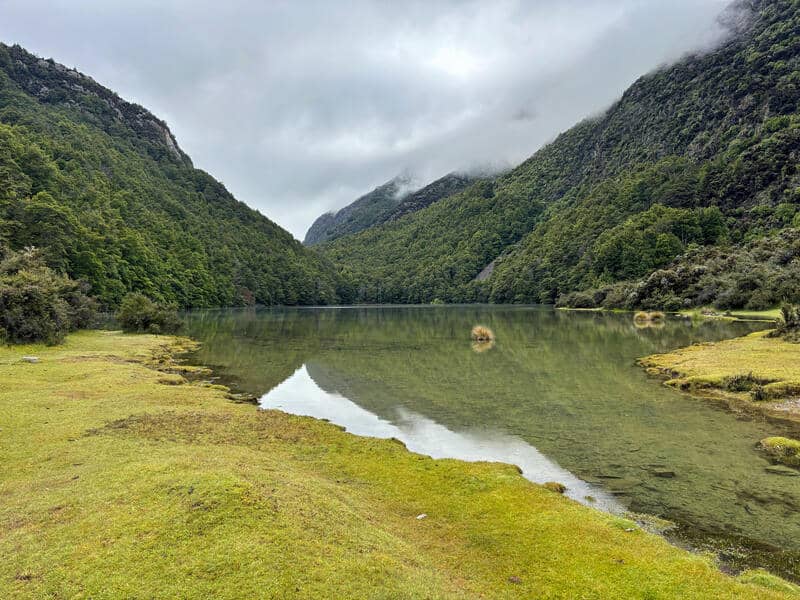
Continuing the hike, you spend about 600 metres following the lake (partial lake views), before heading back onto the wide path through the forest.
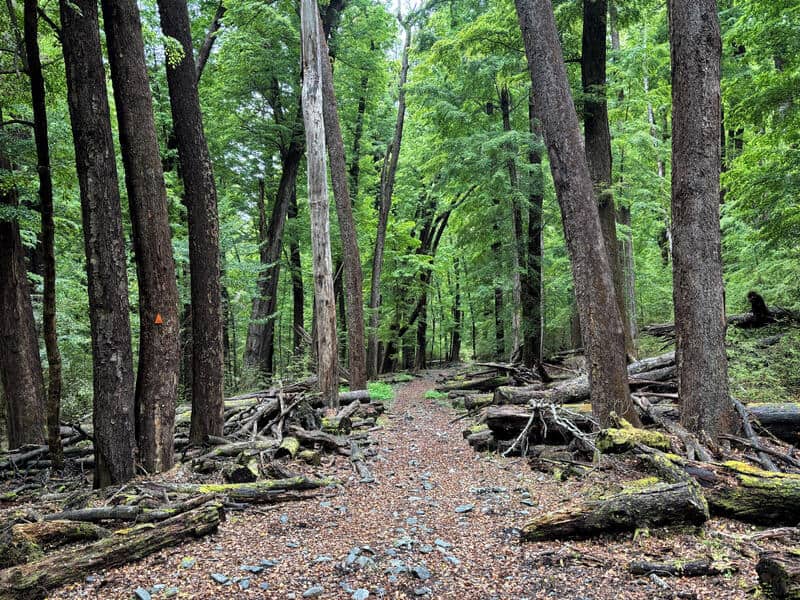
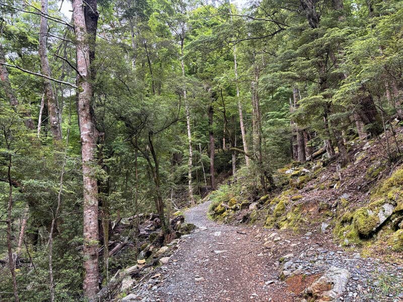
There can be lots of tree fall in this section, but on my last visit it was very minimal. There’s an incline after leaving the lake, but then you’ve got a nice 2.5km section of descent which flows rather nicely with the track easy enough to follow. This might be hard in autumn if there’s lots of leaf litter…but the original orange triangles are handy.
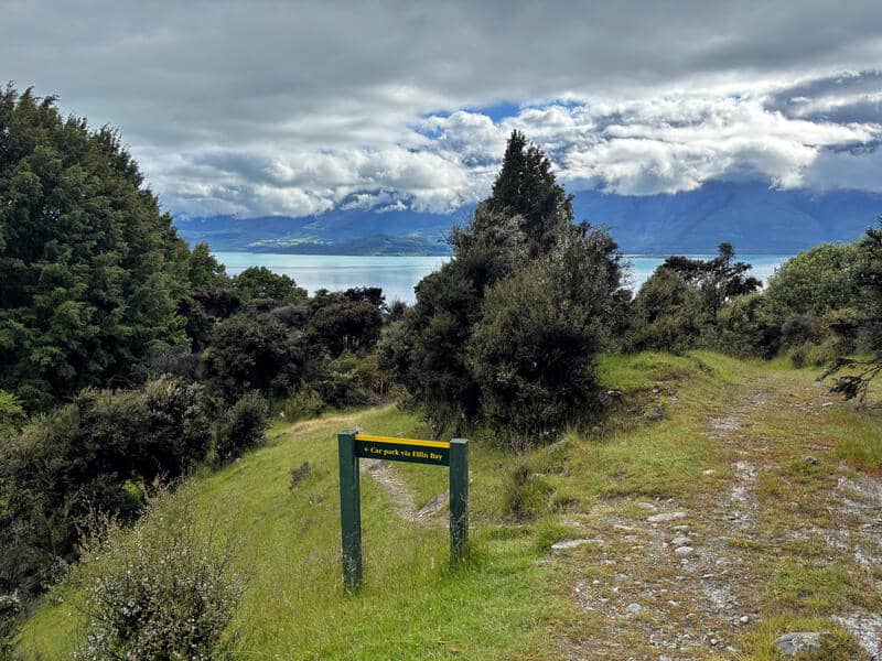
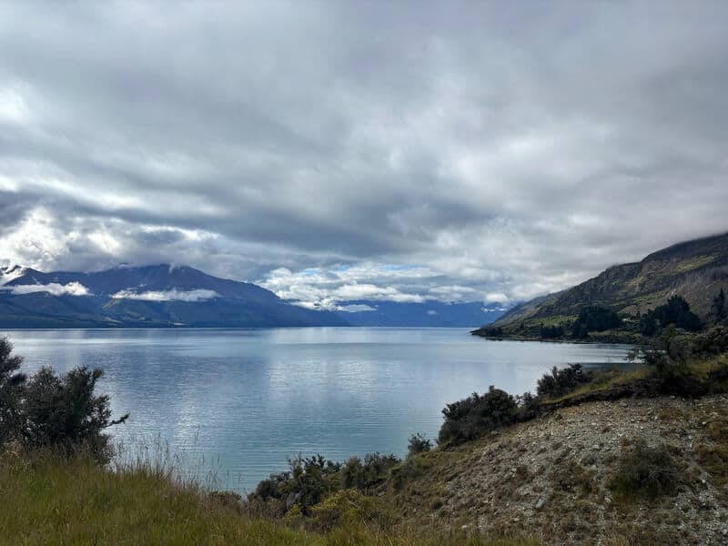
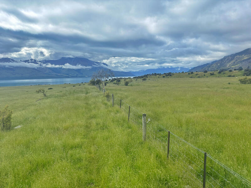
Then you’ll find yourself close to Lake Wakatipu, with some gorgeous views! Make sure to take the signposted turn to Elfin Bay…with the path dropping steeply down to it. This is a gorgeous section, and you’ll briefly follow the lake on a 4WD rtrack before getting back onto a single track up the hill.
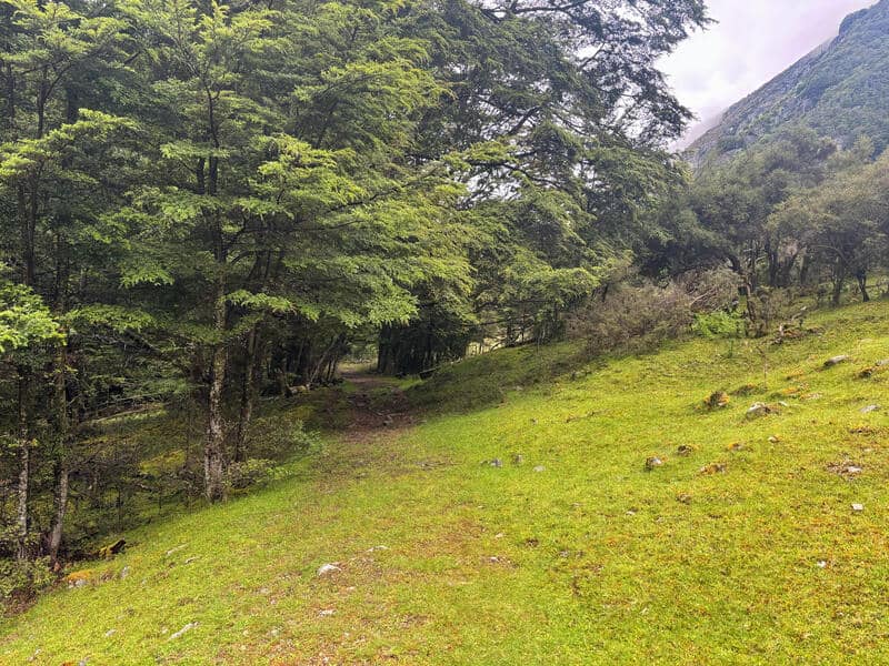
This takes you to the final section where you follow the fenceline of some paddocks for about 2.5km, with the sheep and cows often taken a good look at you.
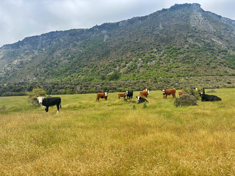
At least it’s pretty much flat here, and hopefully the grass isn’t too long making it easy enough to cover the ground in good time. Then you’ll be spat out at the stock bridge to cross before the last couple of hundred metres gets you back to the carpark.
What a loop!
The first time I did the Lake Rere Track, I didn’t think much of it. But the second time? It was great! I’m not sure what the difference was…perhaps it really is that much better going in the anti-clockwise direction?
While the Greenstone-Caples Track is great, we don’t all have time for an 1/2/3 night adventure. This is a great alternative in it’s own right.
Got any questions or comments about a Lake Rere hike? Leave a message below or email jub@churnewzealand.com.
Chur.
p.s. Here’s a map of all the hikes documented on Chur New Zealand. You can click the icon to see brief details, as well as a link to read more about the hike (like this post).
….and here’s some more photos if you’re still reading.

Hey, it’s Jub here. I’m the guy behind Chur New Zealand, helping you have the best time hiking, trekking, walking…whatever you want to call it…in NZ. I’m based in Queenstown and am always out and about exploring trails, old & new. If you have any questions, reach out.