The Benmore Peninsula Walk was one of the best surprise trails I’ve come across in a while. At only ~4km it has so many photo and picnic spots, it’s a great way to spend a couple of hours in the Lake Benmore area.
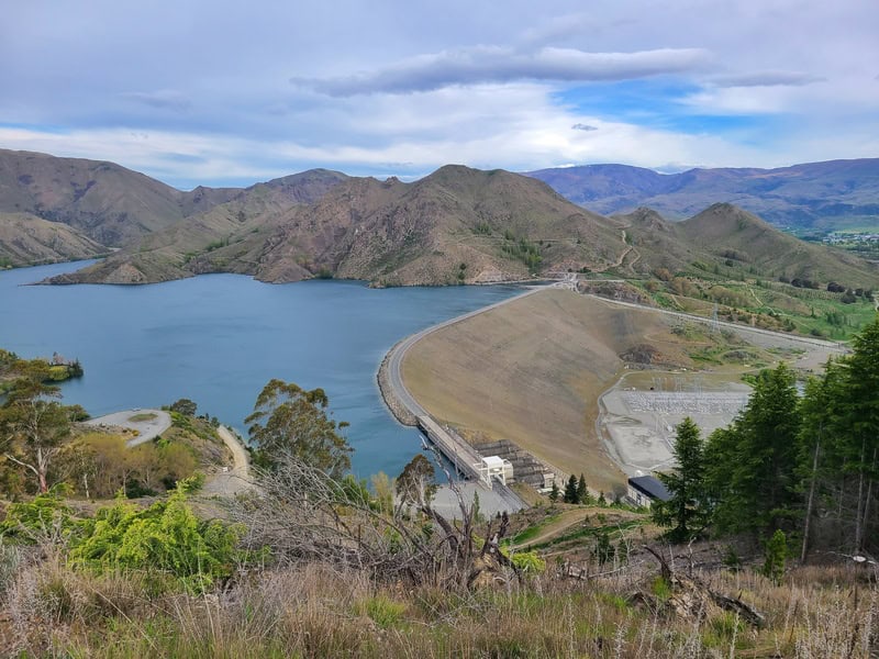
This post will give you the details about the Ben More Peninsula Track.
TABLE OF CONTENTS
1. Benmore Peninsula Walk Details
2. Benmore Peninsula Walk Map
3. How To Get There
4. My Benmore Peninsula Experience
1. BENMORE PENINSULA WALK DETAILS
- QUICK DETAILS:
- 4km
- Loop track
- ~190 metres
- Easy to medium
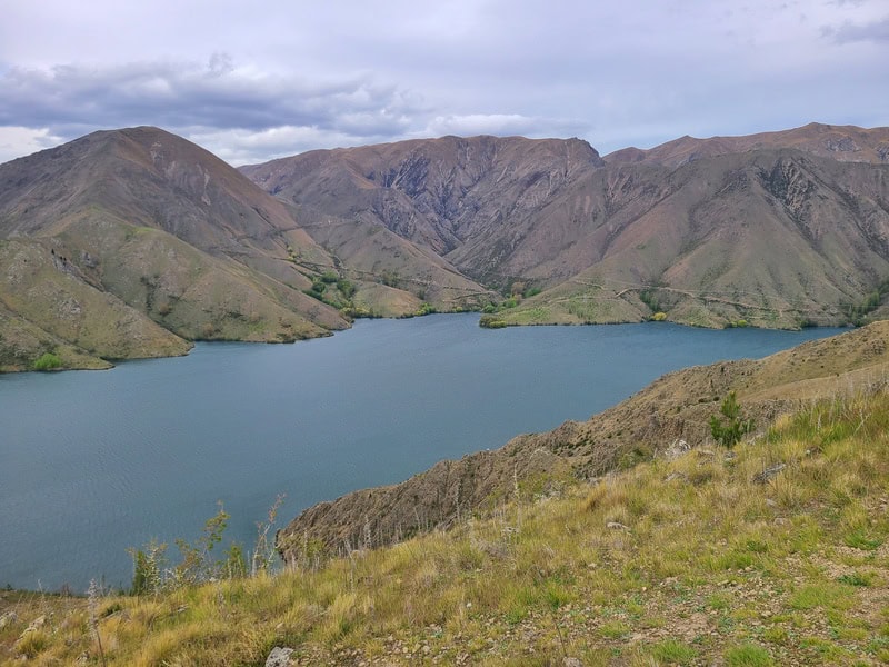
What distance is the Benmore Peninsula Track?
It’s right on 4km according to my Strava, which is what the DOC website says too.
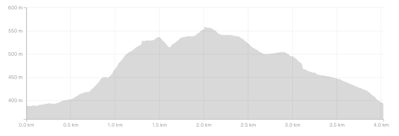
What is the elevation gain?
I got 190 metres total. You can see the elevation profile here (anti-clockwise):
How long does it take to walk the Benmore Peninsula Loop?
The DOC signs say 1 hour 30 minutes, which with plenty of stops for photos, should be the most amount of time it takes for nearly all. But if you love a picnic and/or reading books with a view…you could spend hours on the trail. There’s a good picnic bench on the Lookout Section.
How hard is the Benmore Peninsula walk?
At 4km with under 200 metres of elevation gain, it’s not a super easy walk but it’s certainly possible for pretty much everyone.
What’s the best direction to walk in?
I went anti-clockwise as that’s what my friend did and it seems to be the most popular way based on other feedback. It makes the navigation slightly easier too.
2. BENMORE PENINSULA LOOP MAP
This isn’t the easiest route to follow given it’s small-ish peninsula and a loop (with a small out and back). But there are lots of unofficial trails you could follow…though the official route was always the most obvious. If anything, there could be a few more orange triangles.
I used Maps.me to make sure I was following the correct route.
3. HOW TO GET THERE
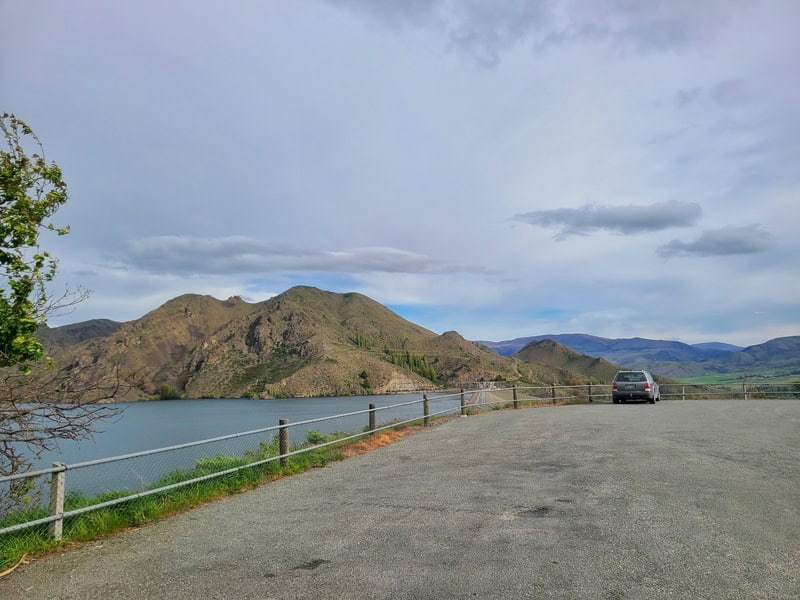
There’s a large carpark at the trailhead here on Google Maps.
The easiest way will be to drive there. It’s 5 minutes from Otematata, 70 minutes from Oamaru and a little under 2 hours from Wanaka.
Alternatively, you could bike there as part of the trail is shared with the Alps 2 Ocean Cycle Trail. If you’re riding the trail, you could always walk the loop etc.
4. MY BENMORE PENINSULA EXPERIENCE
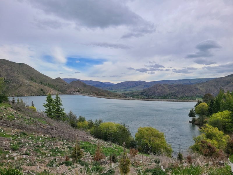
When I looked at the trail on the map, it looked like it was a flat route, but then a friend showed me a couple photos from his stroll and after a little bit more of a look into it, I wanted to do it!
Arriving at the carpark, I was already pretty impressed with awesome views above the Benmore Dam.
Walking through the gate you’re on a wide track to start (watch out for cyclists on the Alps 2 Ocean). It’s not long until you get views over the water and they’re not shabby, but get even better fast.
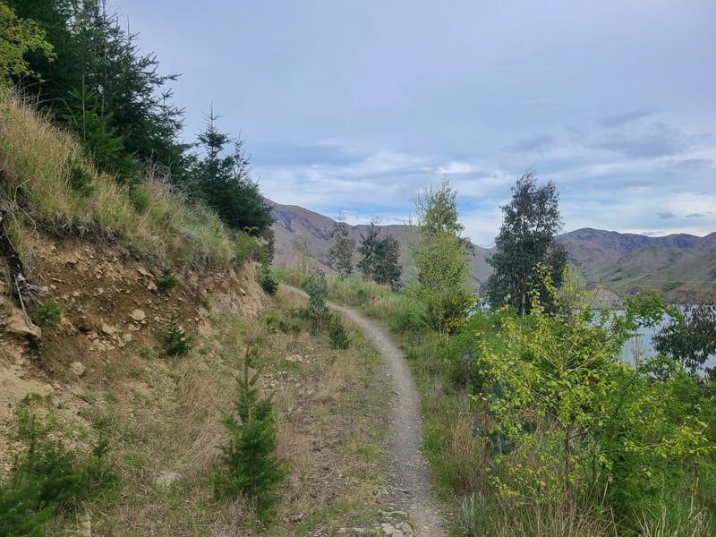
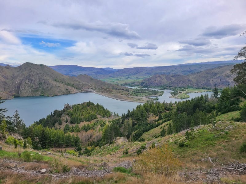
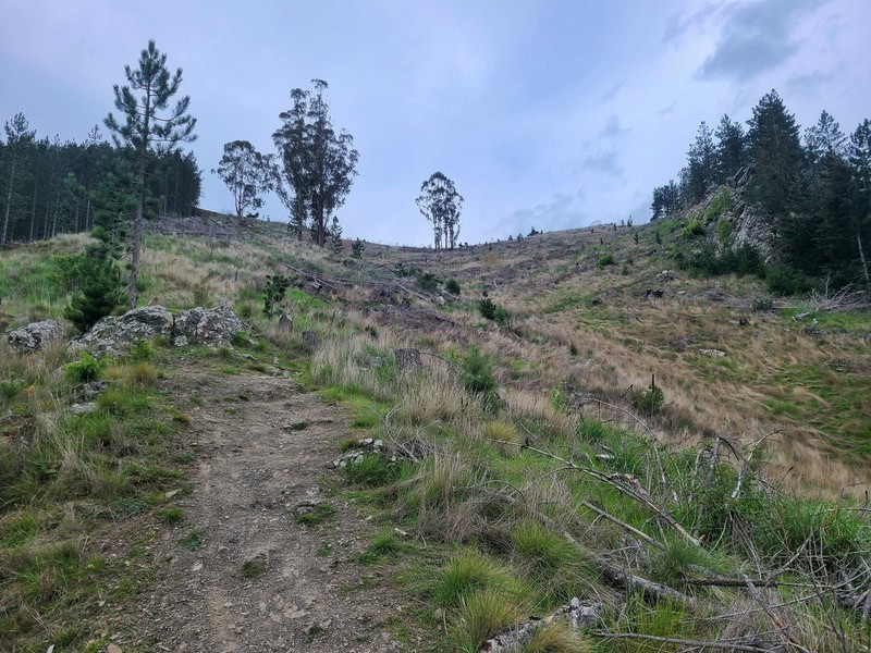
You’ll the find yourself starting to get onto a slightly trickier track and the elevation gain kicks in with a bunch of stairs. They’re not perfect stairs, bit not the worst I’ve seen for sure.
You’re getting a partial view of Lake Benmore pretty much the whole time which is cool. It’s just over 1km into the walk when you get your first epic viewpoint. It’s also a great picnic spot if the conditions suit.
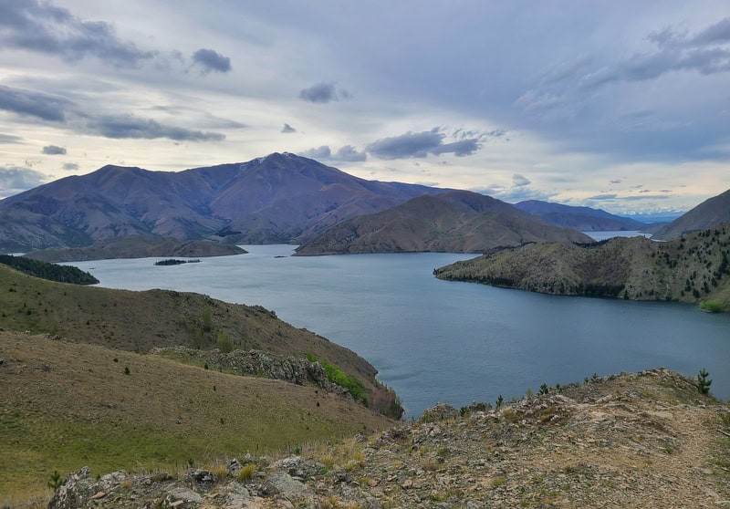
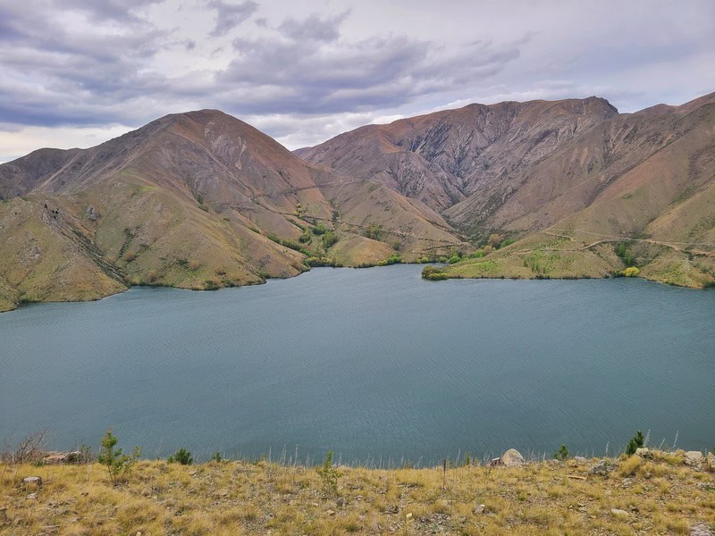
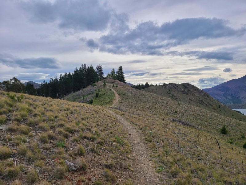
This next section follows a ridgeline for about 400 metres which is nice. It’s not a flat ridgeline, but these are my favourite kind with gentle undulations. You’ll see a small DOC sign pointing towards the lookout which is an out and back from the main loop.
100% do the Lookout! It’s about 300 metres each way (included in the 4km total) and is the main viewpoint of the Benmore Peninsula Walk. There’s a picnic bench at the end, but also plenty of places to relax.
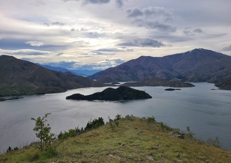
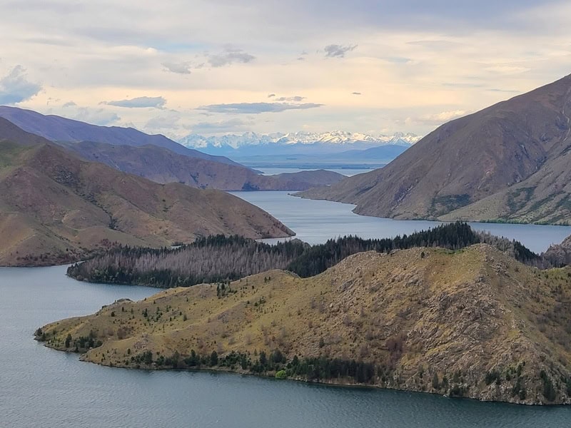
The start of the descent made it feel like it was the end of the hike, but no, there are still epic views and you’ve still got a while to go yet. The descent is reasonably gentle, with minimal stairs. You do join the Alp 2 Ocean path for the last little section. I almost missed a turnoff, but you can see the carpark with about 1km or so to go so at worst, follow your nose.
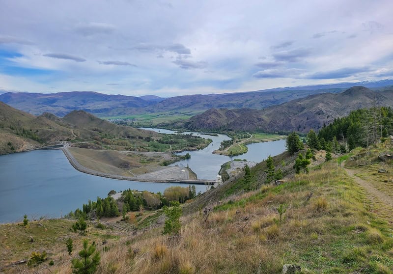
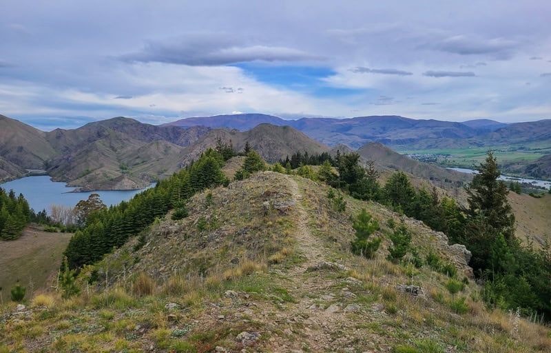
I don’t think the photos do the views justice. This was one of those ‘woah, that’s so cool’ tracks that I didn’t know about. It’s only 4km, when I usually have a 5km minimum policy for this site for it to be published, but it’s too good.
If you’ve got any questions/comments, leave them below or email jub@churnewzealand.com.
p.s. Get some cross cut fries from Otematata’s Best Dam Pub afterwards. So good.
p.p.s. You can find all the trails I’ve published pinned on this map. You can click on the icons which have a link to the relevant post.
Chur.

Hey, it’s Jub here. I’m the guy behind Chur New Zealand, helping you have the best time hiking, trekking, walking…whatever you want to call it…in NZ. I’m based in Queenstown and am always out and about exploring trails, old & new. If you have any questions, reach out.
