Who doesn’t like seeing a 900-year-old native tree with an 11 metre girth? If that’s not you…go hang out at the beach or something.
But for the rest of you, this 4.5km walk in the Coromandel Forest Parks Kauaeranga Valley is great.
It’s short enough that it only takes a couple of hours, and is a great standalone hike if you haven’t got time to go to Pinnacles Hut, or if you want to do it in addition that works too.
This post will give you all you need to know about the hike. There’s also a video to show you what you can expect
TABLE OF CONTENTS
1. Cookson Kauri Walk Details
2. Cookson Kauri Walk Video
3. Cookson Kauri Map
4. How To Get There
5. My Cookson Kauri Experience
1. COOKSON KAURI WALK DETAILS
- QUICK DETAILS:
- Max 6km return
- Easy to medium difficulty
- ~255 metres of elevation gain
- 1 hour 20 minutes to 3 hours
How hard is the Cookson Kauri walk?
With over 700 stairs (apparently, I didn’t count) it’s certainly not easy…but the track is short and well maintained so it’s not technical. If you despise stairs, you’re not going to be happy…but rin terms of stairs they’re well made and evenly spaced.
What distance is the Cookson Kauri hike?
According to the DOC website, it’s 6km return. I’m not sure where they’re starting from though as my data was 4.55km return. That’s starting from the green Cookson Kauri walk sign you can see in the video below.
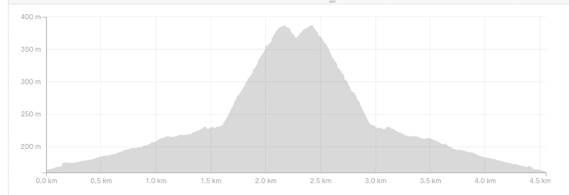
What is the elevation gain of trail?
The total elevation gain according to my watch was 255 metres. With 229 metres of that on the way to the Cookson Kauri.
Here’s the profile:
How long does it take to hike?
DOC says 2 to 3 hours return. That’s going to be accurate for a lot of people with 3 hours covering 99% of walkers on the track.
As a quick hiker, it took me 36 minutes to the top, and a similar amount coming back down. Add in some time at the tree and chilling out, I’d allocate at least 1 hour 20 minutes for everyone on this hike…but most people around 2 hours is a safe timeline.
2. COOKSON KAURI VIDEO
If you’d like to watch a video of the trail, this is me hiking the track from the trail head to the Kauri turn around point (one way). It’s my first attempt at this video style, and the quality isn’t the best (1080 HD goes alright) but it’ll give you an idea on what to expect 🙂
3. COOKSON KAURI MAP
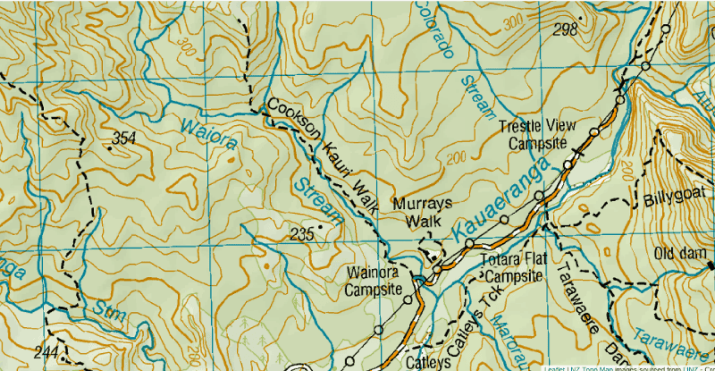
You don’t really need a map for this walk as it’s easy to follow once you arrive at the Wainora Campground carpark. You can find the walk on maps.me and NZ Topo Maps (my favourite topo map app is NZ Topo 50), which is what you can see above (link to external map).
4. HOW TO GET THERE
The trailhead is at the Wainora Campsite, one of the many located on the 9km of gravel road between the DOC Visitor Centre and The Pinnacles Trailhead. While you can hitchhike from Thames to the carpark reasonably easy on a decent weather day…most people are driving.
Total drive is 20km from Thames, which will take about 30 minutes (Google Maps route here).
The drive to Thames to the Visitor Centre is on a sealed road…it’s a beautiful road with lots of corners. Once you get to the visitor center, you got a little under 8km to the Wainora Campsite which is a well maintained gravel road suitable for all cars.
5. MY COOKSON KAURI EXPERIENCE
Having not planned to do this walk with The Pinnacles the main goal of this trip, I only went based on a recommendation from people I met a the campsite that said it was an cool walk to fill in time.
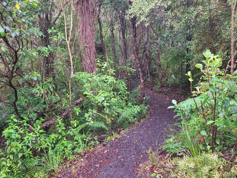
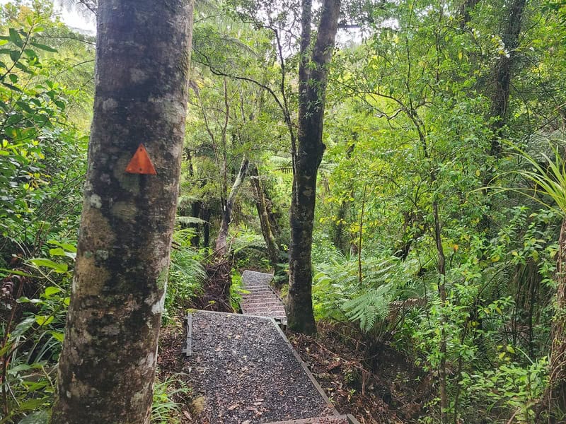
After passing through the Kauri dieback cleaning station, I was surprised to see well groomed and maintained tracks. A hikers highway.
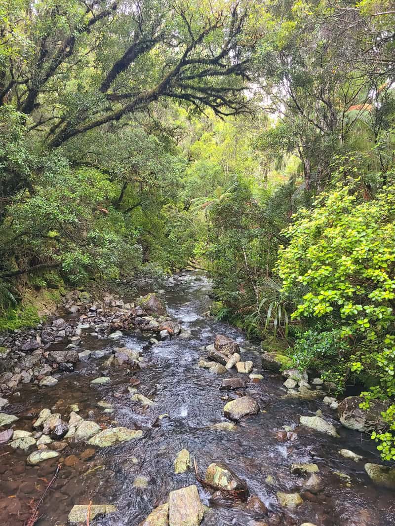
There’s a slight incline for the first 1.5km or so, with 70 metres of elevation. But with the well groomed tracks it’s not super noticeable. There’s a couple of bridges over the Waiora Stream and there’s no shortage of beautiful green bush from the get go.
Apparently you can see Table Mountain through the trees, but I missed it!
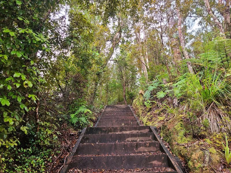
Then you’ll realize when you’ve started the real incline with all the sets of stairs coming quick and fast. Apparently there’s over 700 stairs? I’m not sure about that though.
If you saw the elevation profile further up the page, it looks intimidating, but the 150 metres of elevation gain in the next 500 metres isn’t the end of the world, don’t @ me :p
Just keep nudging away and you’ll get to the last little descent back down to the viewing platform of the tree.
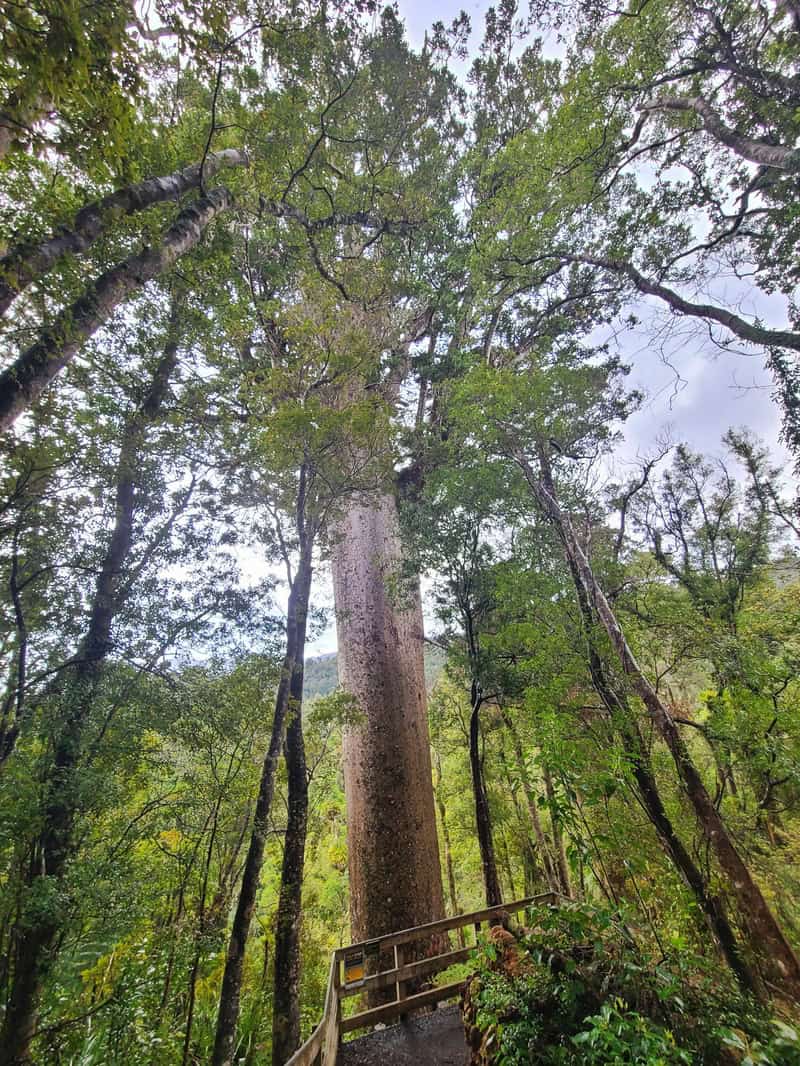
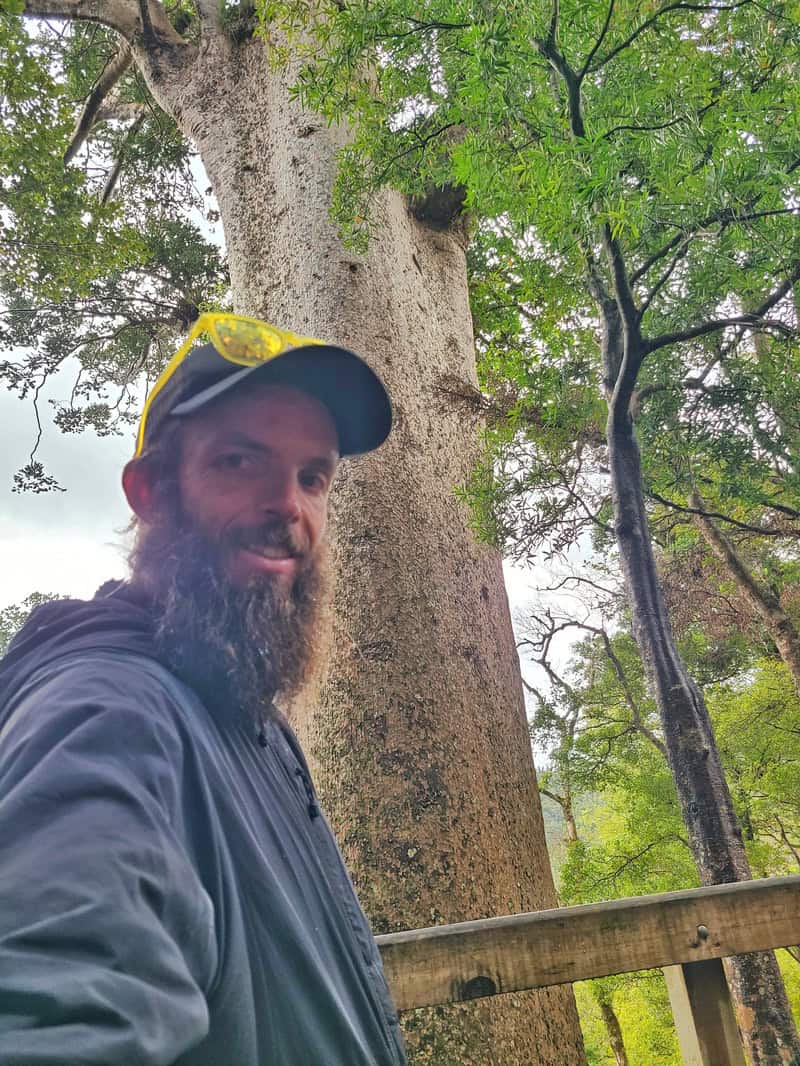
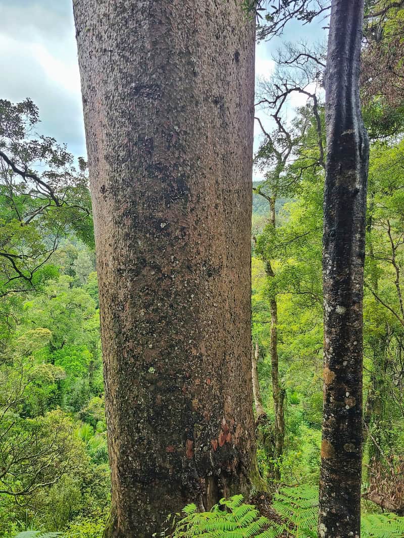
The tree really is massive! It’s hard to get a photo of it to show just how big it is…but so cool. There’s a couple of information boards on the way up to give you an idea of what the background on kauris in the area means.
Coming back down, I always find stairs aren’t that much faster than going up so keep that in mind if you’re pushing daylight or have a timeline.
It started raining about halfway back for me, so I didn’t muck around and got into my nice wet tent 🙁
But was glad I did go and see the tree.
It’s a cool addition to the Kauaeranga Valley area on the Coromandel Peninsula.
Feel free to message if you’ve got any questions about this hike etc. or email jub@churnewzealand.com.
Chur,
Jub

Hey, it’s Jub here. I’m the guy behind Chur New Zealand, helping you have the best time hiking, trekking, walking…whatever you want to call it…in NZ. I’m based in Queenstown and am always out and about exploring trails, old & new. If you have any questions, reach out.