The Gertrude Saddle Route is getting more popular by the year thanks to word of mouth. But it’s still 100% worth it!
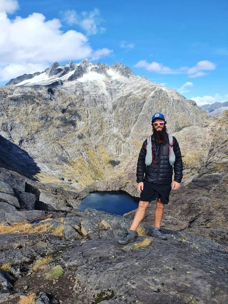
While the journey to the saddle return is less than 10km, the saddle provides epic views and is a fun challenge in dry conditions. But it’s a ‘don’t even try’ for most people in wet/icy conditions.
This post will give you all the details you need to know before heading to Gertrude Saddle, one of the best day hikes in Fiordland National Park.
TABLE OF CONTENTS
1. Gertrude Saddle Route Details
2. Gertrude Saddle Track Map
3. How To Get There
4. The Gertrude Saddle Experience
5. More Gertrude Saddle Photos
1, GERTRUDE SADDLE ROUTE DETAILS/FAQ

How hard is the Gertrude Saddle hike?
In dry conditions? It’s not so bad. It’s not easy with a scramble up some rocks involved, and they’re at such an angle that there’s a section chain to assist you up. That said, there were kids under 10 years old going up and down while I was there.
So it’s medium to hard. But at less than 5km each way, it’s not too bad provided it’s a sunny day, you’ll have plenty of time. On a cloudy day, route finding could be tough.
In wet/snow conditions? For 98% of us, it’s a no-go zone. The rocks suddenly become a slip-and-slide and it’s not going to end well.
You can always do the Lake Marian Track as an alternative.
How far is the walk to Gertrude Saddle?
My recording gave 8.7km for the return trip. That was from the carpark to the saddle return.
I did wander around the saddle a but, but didn’t include that in the recording. Depending on the exact route you take on the rock slabs, you’re distance will vary. But from the carpark to saddle return, it’s going to be no more than 9km.
How long does it take to hike Gertrude Saddle?
The DOC signs say it’s a 4 to 6-hour return hike. For most people, you’ll be under 4 hours as it’s not a long track. And even if you picnic up the top for an hour with the views, 4 hours should be fine. For the super fit, under 3 hours should be comfortable including the time exploring above.
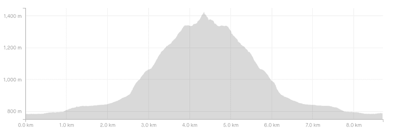
What is the Gertrude Saddle elevation gain?
There’s about 650 metres of elevation gain from the start of the track to the saddle, return. If you explore around the saddle there’ll naturally be a bit more.
Here’s the elevation profile:
Is there mobile phone reception on the route?
There is along parts of the track, but it’s patchy and there’s none at the saddle. It’s best to assume there’s no reception along the track.
Camping on Gertrude Saddle…what’s the story?
I only went up to Gertrude Saddle as a day hike, but have had a few friends camp overnight and all of them loved the experience.
They all had stunning weather during the summer months so weren’t cold at all. When you get to the saddle you’ll see a couple of camping spots where stone walls have been erected to protect the wind, but you can camp anywhere around the saddle…I spotted a few good spots and would decide where to camp based on the wind.
The track is getting more popular, but most people are still hiking the trail as a day hike so there won’t be too many people camping up there. I’ve heard of only one encounter where the keas were annoying throughout the night…something to keep in mind 🙂
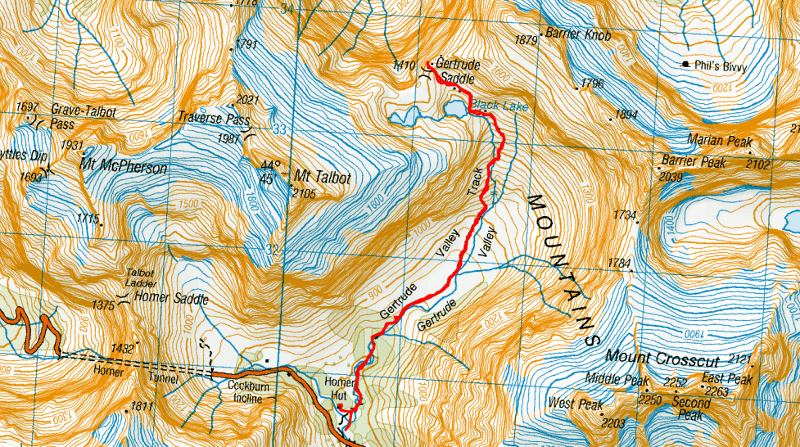
2. GERTRUDE SADDLE TRACK MAP
The map below is my GPX file uploaded onto topomap.co.nz. Clicking on the image will open the map in a new window.
The track can be seen on Google Maps, but I wouldn’t trust it so much. And it is on Maps.me which seems pretty accurate to me.
Here’s the Gertrude Saddle GPX File, though you’ll see the track labelled on what I think is the best New Zealand maps app.
3. HOW TO GET THERE
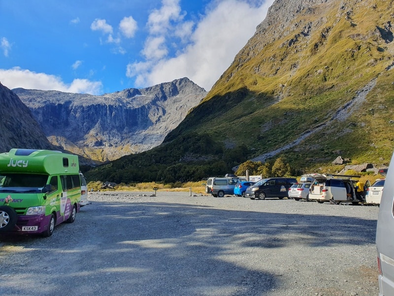
The Gertrude Saddle carpark is on State Highway 94 a.k.a. Milford Road, about 1km from the Homer Tunnel (Te Anau side of the tunnel).
The easiest way to get there is to drive, but you can hitchhike along the Milford Road easily, just make sure to leave yourself ample time to get back to your accommodation. And there’s TrackNet that offers shuttle services as well.
From Te Anau: ~98km and about a 1 hour 20-minute drive.
From Milford Sound: ~20km and about a 20 minute drive.
You’ll see the road sign at the Gertrude Valley Lookout. The carpark is about 150 metres from the road.
4. THE GERTRUDE SADDLE EXPERIENCE
I was stoked to hike Gertrude Saddle after planning to do it several times, only to have to postpone because of dodgy weather forecasts.
Upon arrival I was stunned that there were over 40 cars in the carpark. That was confusing…I thought it was still a track that not many people did (this was after the easter holidays).
Anyhow, we got started on the track and you cross a riverbed to start before following a track through some tussocks. There are some orange DOC poles to keep you on track, though in good conditions it’s easy enough to follow.
You’ll cross a riverbed again before popping into some forest. This is a beautiful little section and adds to the variety of the track!
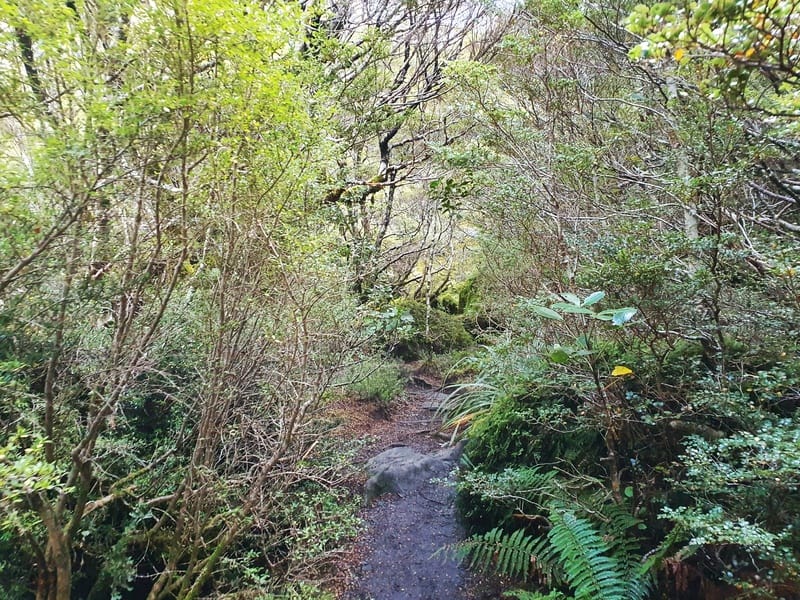
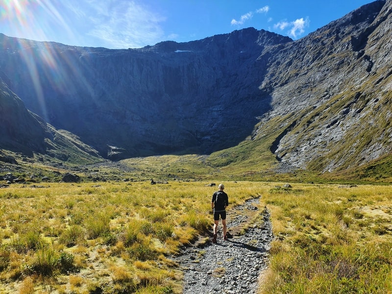
Coming out the other side of the bush you are in the heart of the Gertrude Valley Track with ridgelines surrounding you. The poles can be hard to spot at times, but follow your nose and the next one shouldn’t be far away (download the GPX file above).
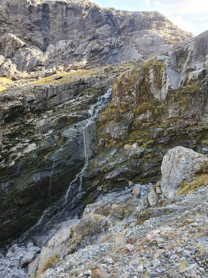
After a couple of km, you’ll start to go up the slope, this works towards a waterfall where you’ll cross a stream (fill up on water here!) and then the real incline begins (take some photos of the waterfall first?).
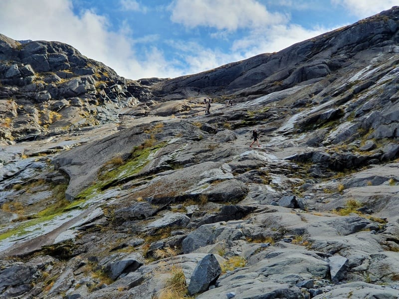
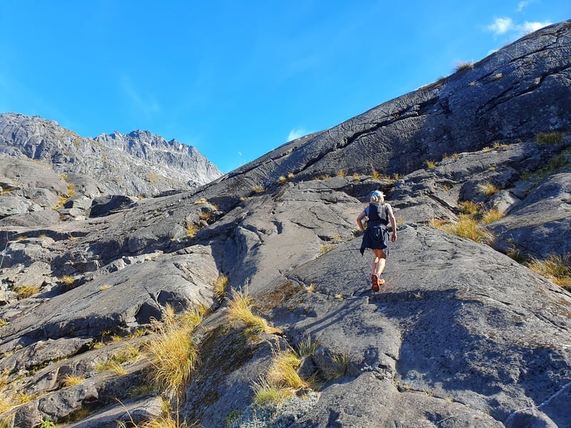
This first section follows the track on some loose dirt which can be slippery. Be careful not to dislodge any rocks if possible. And a short while later you’ll be on the big slabs of rock, and when you get on them, you’ll see what the signs mean about potential fatalities in wet/icy conditions.
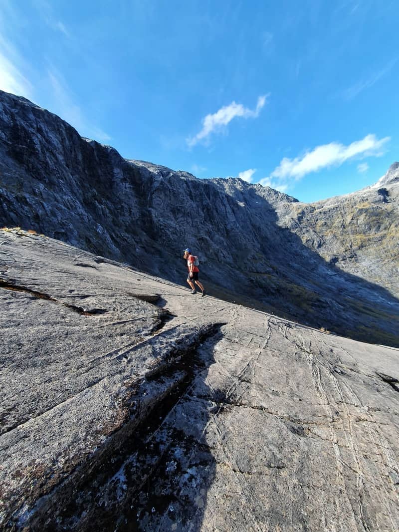
They’re grippy when dry, but if you step on the slightest part of wet rock your grip vanishes.
There are not many poles here, but you can see the saddle where you need to get to so it’s just a matter of following your nose. But I did notice rocks that were worn from the constant foot traffic, so it’s kind of like a natural trail to follow is there.
There’s one slope where there’s a chain to assist you going up, which you may or may not find helpful. This is just as you pass Black Lake which some people like to swim in? I’ll pass thanks.
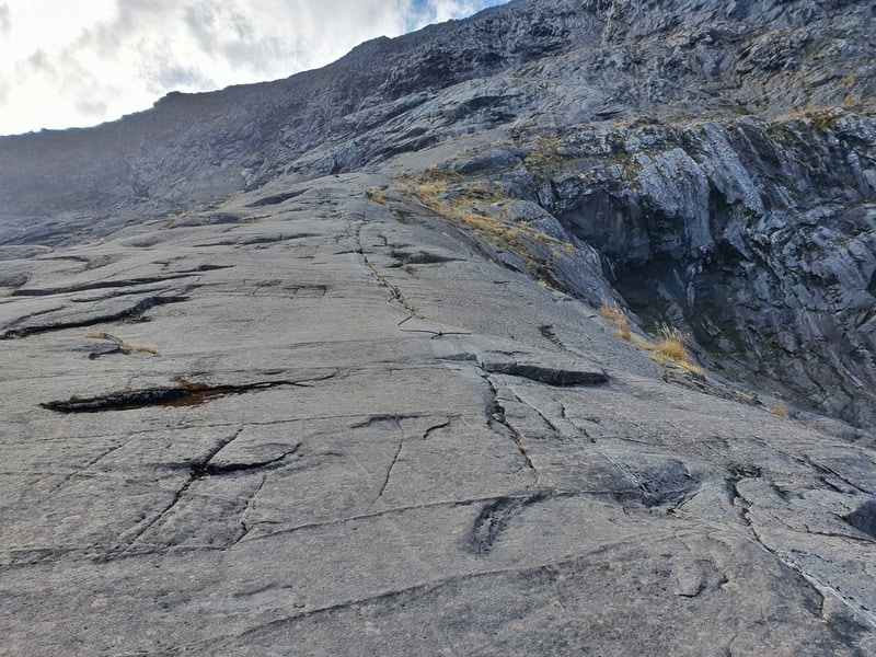
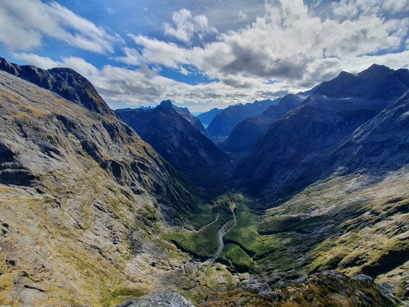

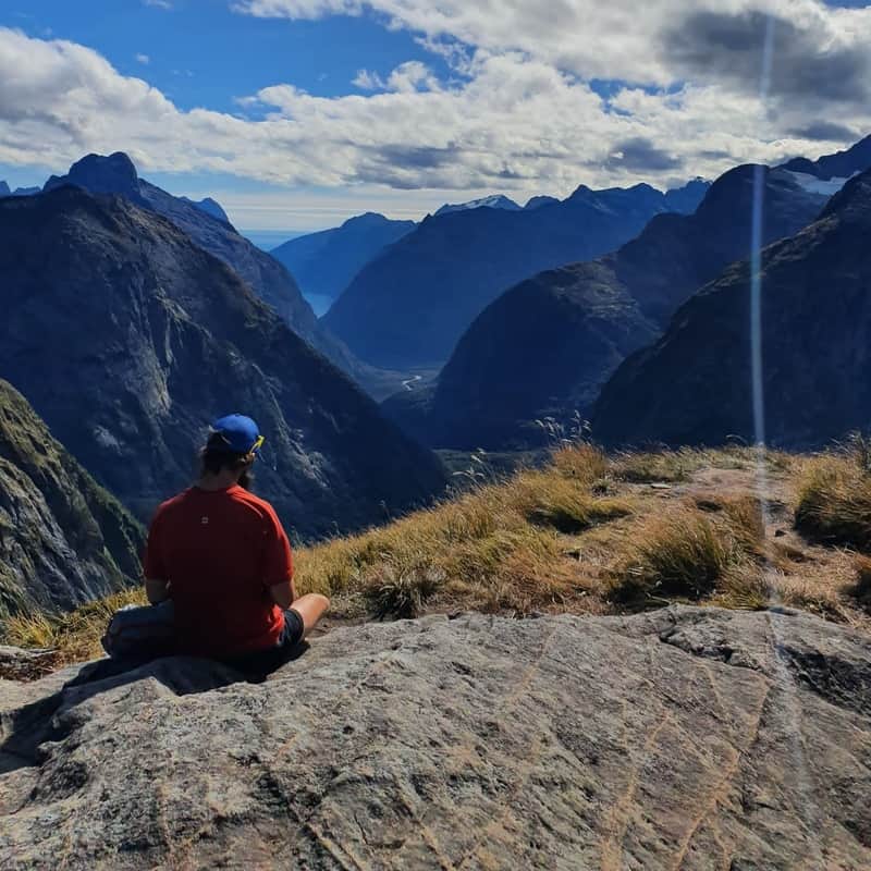
Then before you know it, you’ll be at the saddle and have epic 360 views. You’ll see glimpses of Milford Sound through the valley that drops off steeply below. There’s also Mount Talbot and Barrier Knob looking down on either side of you, and even the view back toward where you came from is awesome.
Pick a spot, and enjoy your picnic! There are tracks going up either side of the saddle if you want to explore a bit (you should).
Then when you’re ready, it’s time to backtrack the way you came. It’s straightforward, just make sure to avoid any wet sections of rock otherwise you’ll be in for the fright of your life.
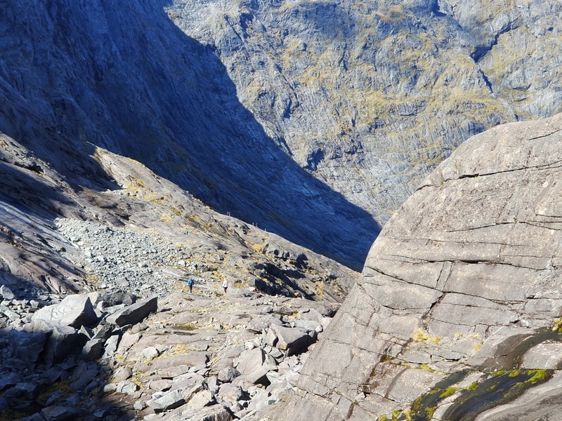
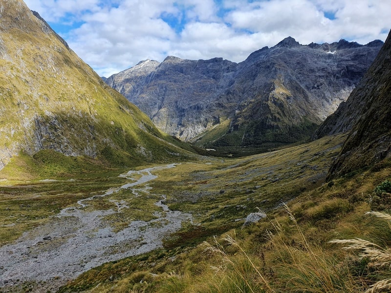
The descent is cool looking back the other way. The return is usually a little bit quicker for most people, but not by a huge amount due to the steep descent.
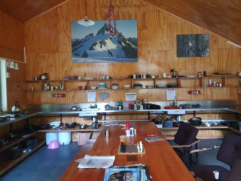
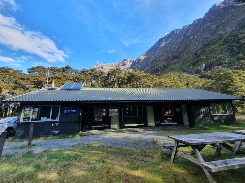
Just before you get to the carpark, check out Homer Hut. And if you can work it into your schedule, consider staying there. It’s $40/night for non-NZAC members which is a good deal.
And once you’re back at the carpark, hopefully, you’ve got some decent snacks waiting for you in the car 😀
5. MORE GERTRUDE SADDLE PHOTOS
I had too many photos and didn’t want to cram them into the post and dilute the information. So here’s a few more.
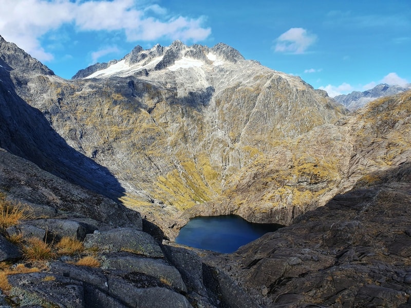
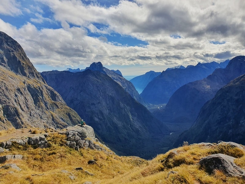
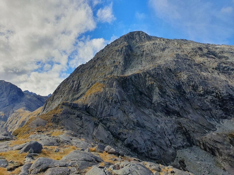
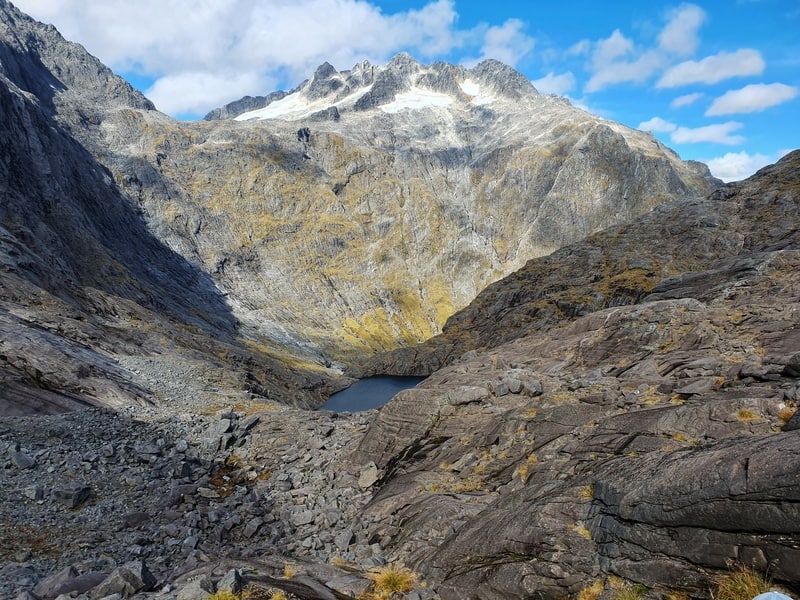
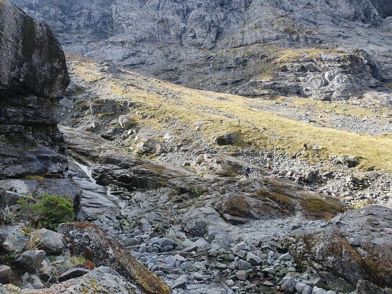
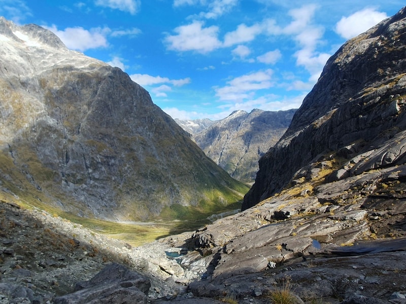
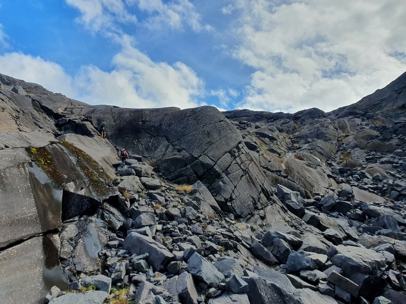
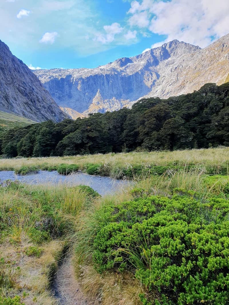
The Gertrude Saddle Route is a stunning spot. Whether you’re there for a day hike or an overnighter, you’ll love the views on a clear sky day. If the weathers not looking sharp, go do something else 😉
If you’ve got any questions, email jub@churnewzealand.com or leave a message below.

Hey, it’s Jub here. I’m the guy behind Chur New Zealand, helping you have the best time hiking, trekking, walking…whatever you want to call it…in NZ. I’m based in Queenstown and am always out and about exploring trails, old & new. If you have any questions, reach out.

Hey Jub,
thanks for your tips, we spent the night up there yesterday, it was such an amazing spectacle! Temperature were chilly but I don’t think we went under 0°. Great job on all your hikes, so helpful 😉
Jerome
Hey Jerome,
Stoked you had a great time up there. It’s cold enough here in QT the last few days, must have been chilly as up there 😮
Enjoy ya next adventure.
Cheers,
Jub